
Quick report
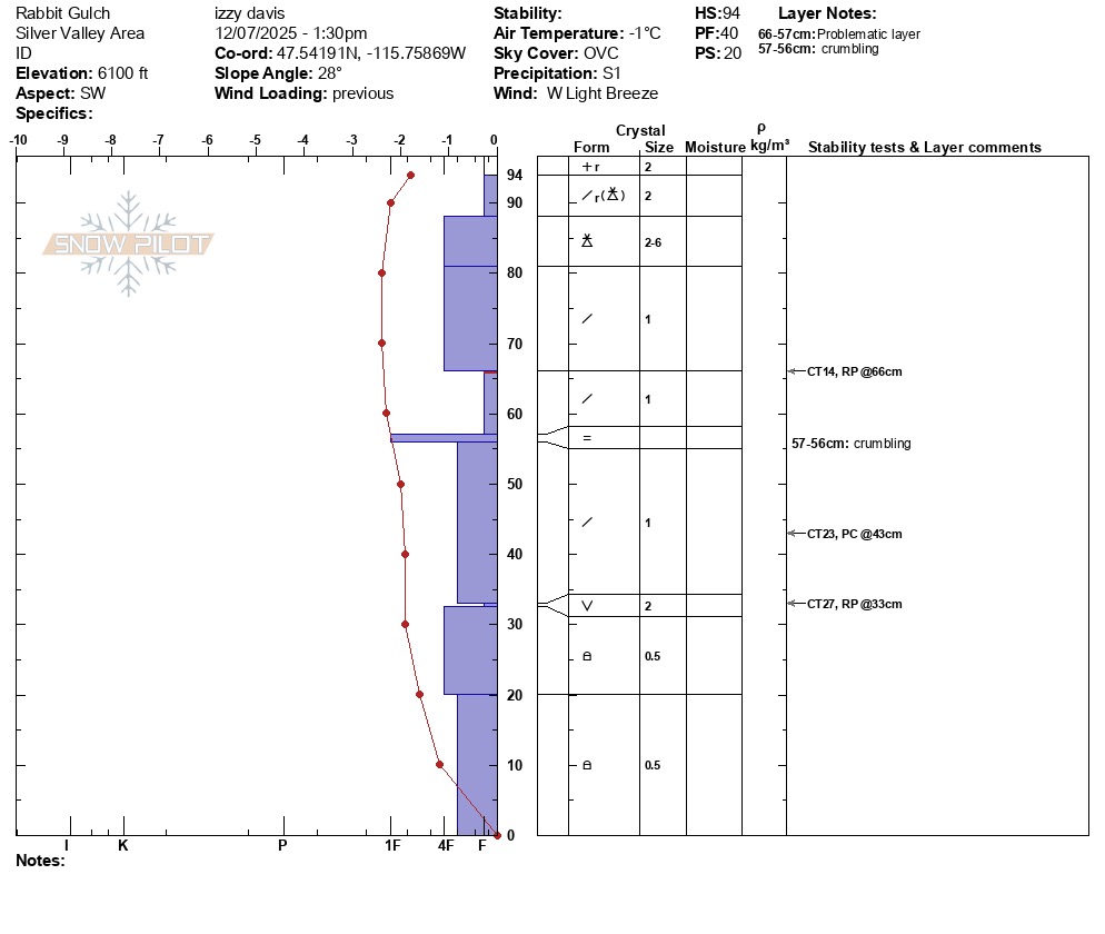
North and south facing aspects currently hold a differnt snowpack structure. I travelled through all 3 elevation bands on a SW aspect and found no evidence of old snow. 2-3+ feet of snow since the start of December has fallen on bare ground, with some degree of facets at the base. There are several different storm interfaces and density changes throughout the pack, but the snow is largely F-4F hardness.
No matter what aspect you're on, the snowpack has a weak structure. With near historic SWE totals in the next 48hrs and precip continuing beyond that window, human triggered avalanches will be likely, and human triggered avalanches will be very likely.
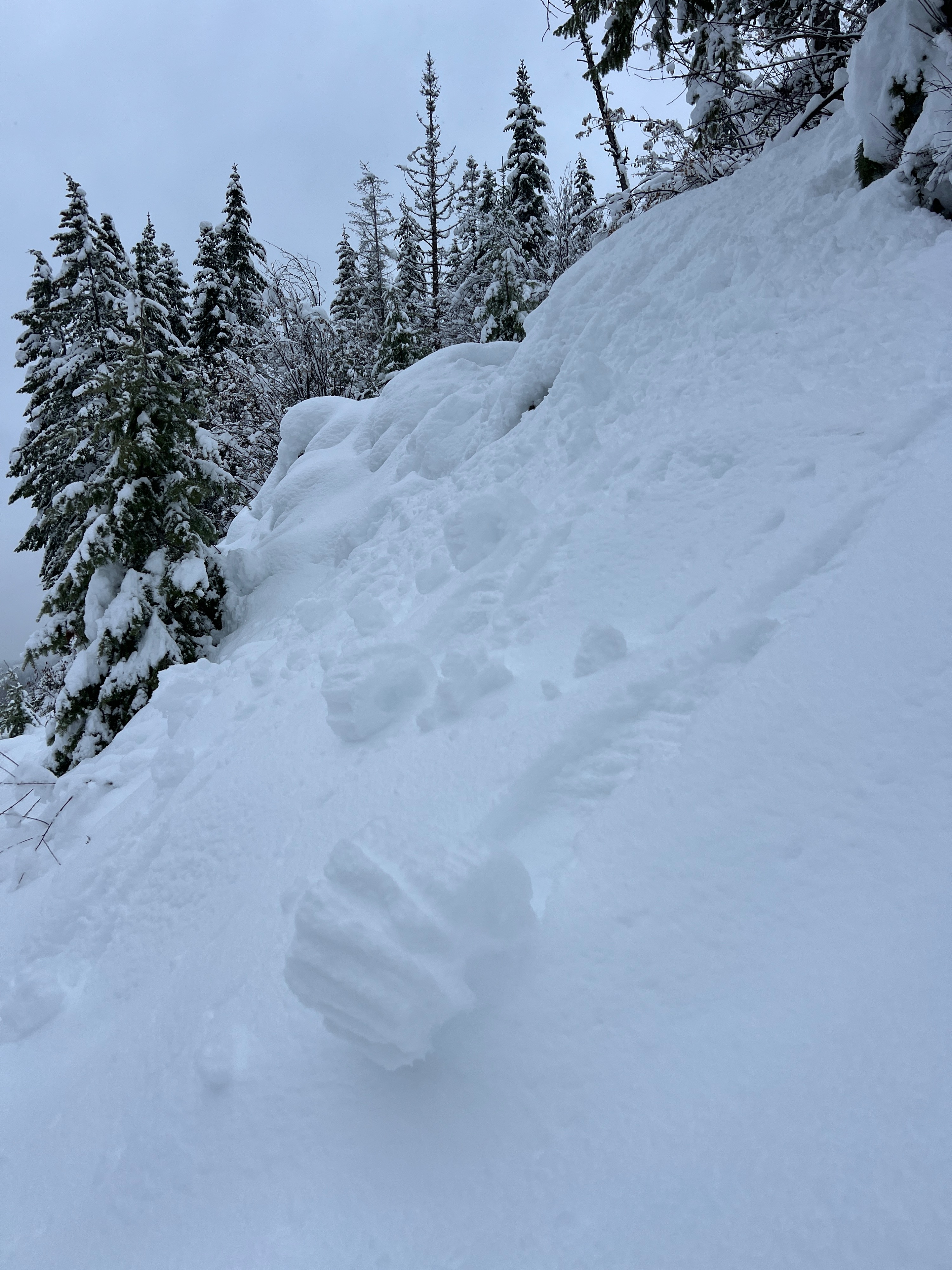
Small rollerballs on steep cutbanks below 5500'Weather
- Air Temp
- 28
- Cloud Cover
- obscured
- Wind Loading
- previous
- Rain Elevation
- 4000'
- Recent Snowfall
- 3-6" 24hr
- Snow Avail For Transport
- moderate amounts
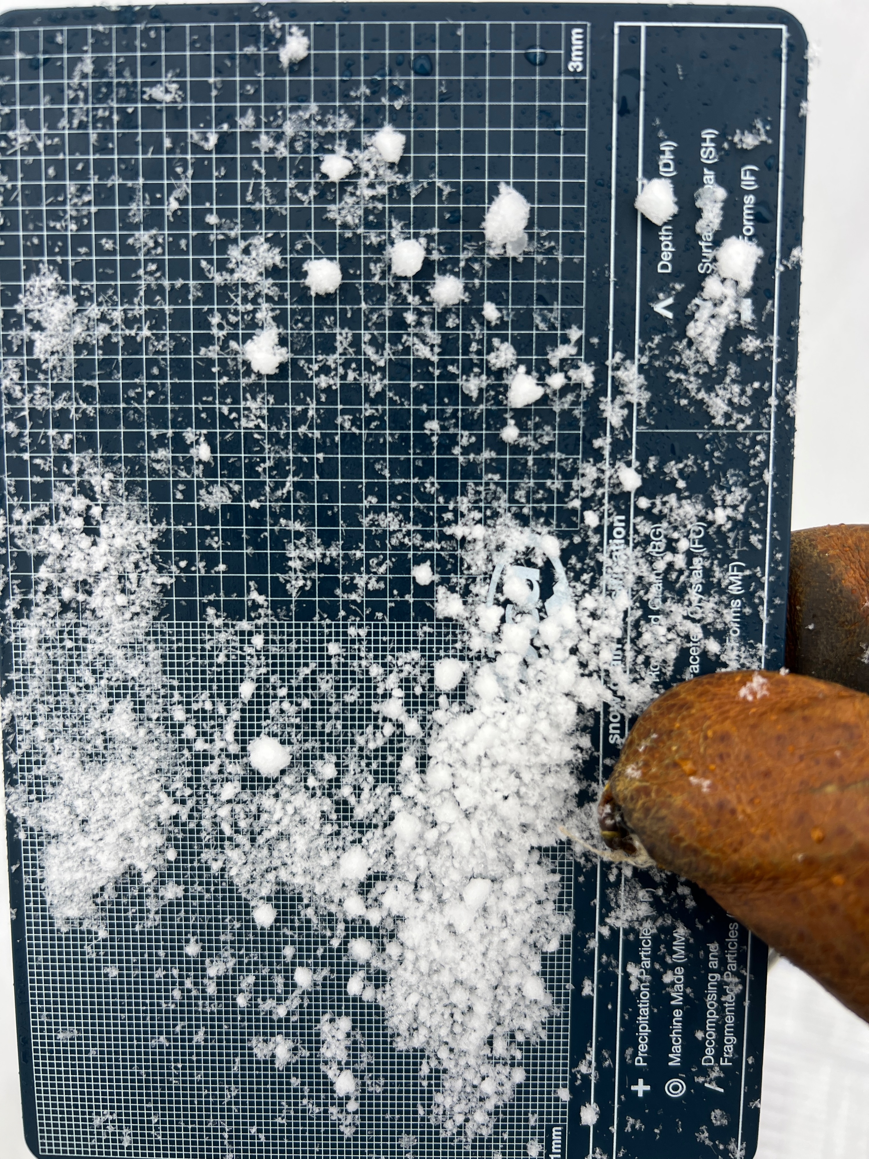
Rain/snow line was 4000' in the morning and afternoon. S1+ snowfall rates after 1pm. Fog arrived with the increasing snow and made for poor visibility. Winds gusts from the west increased to moderate midday.
Snowpack
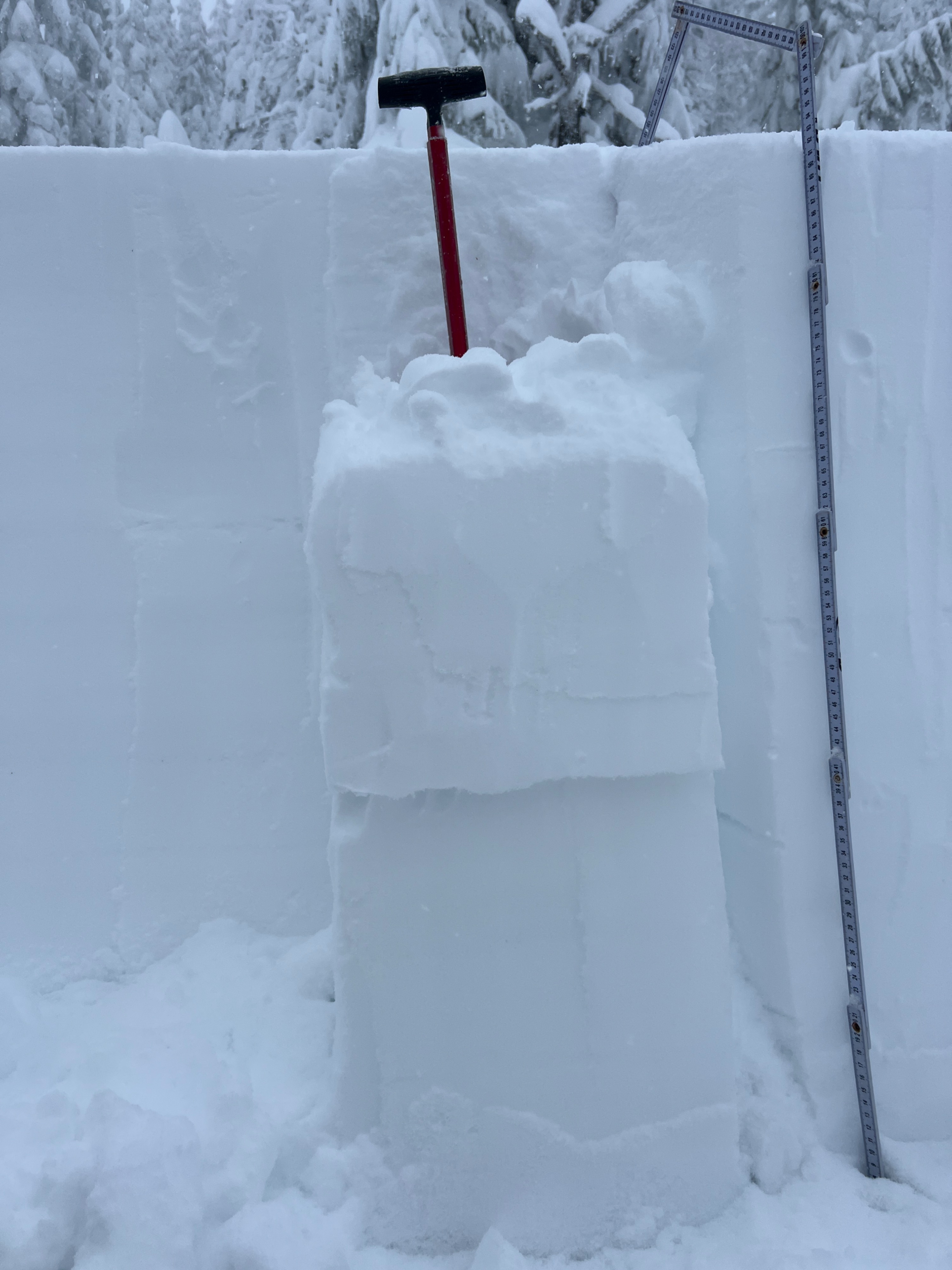
1 to 2.5 feet of new snow below 5500'. Snow was wet below tree line, and small rollerballs were releasing on steep cutbanks. Snowpit at 6100' on SW aspect had a HS 94. Bottom 1/3 of snowpack was small rounding facets, with a thin mid-pack crumbling rain crust. Small surface hoar was 33cm up from the ground, and had a test result CT27RP. The surface hoar was inconsistent throughout my pit and was rounding. The rest of the new snow ranged from F-4F and produced 2 other RP breaks at storm interfaces with moderate to hard force 1 to 2 feet down.
Avalanche
None observed