
Quick report
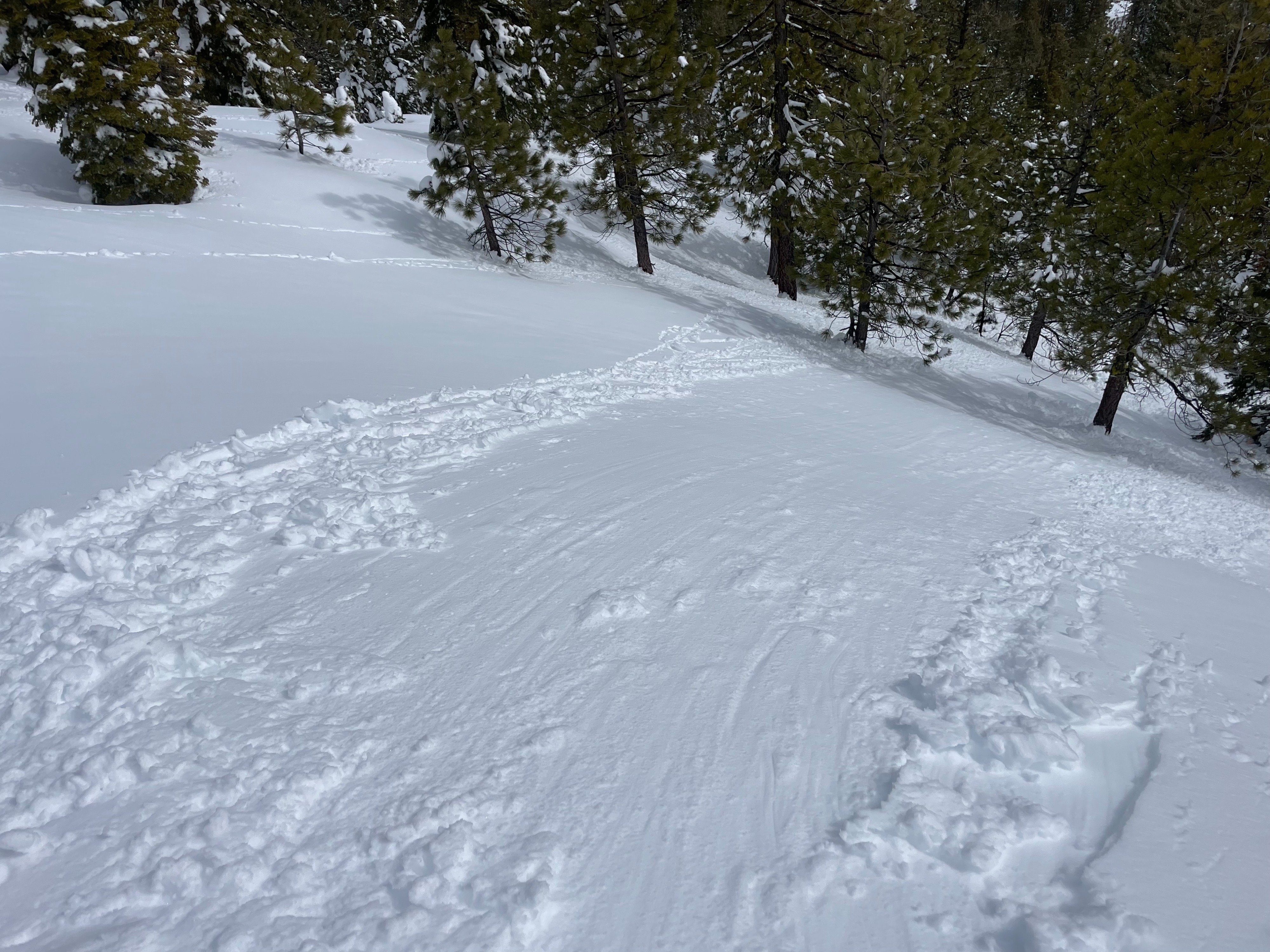
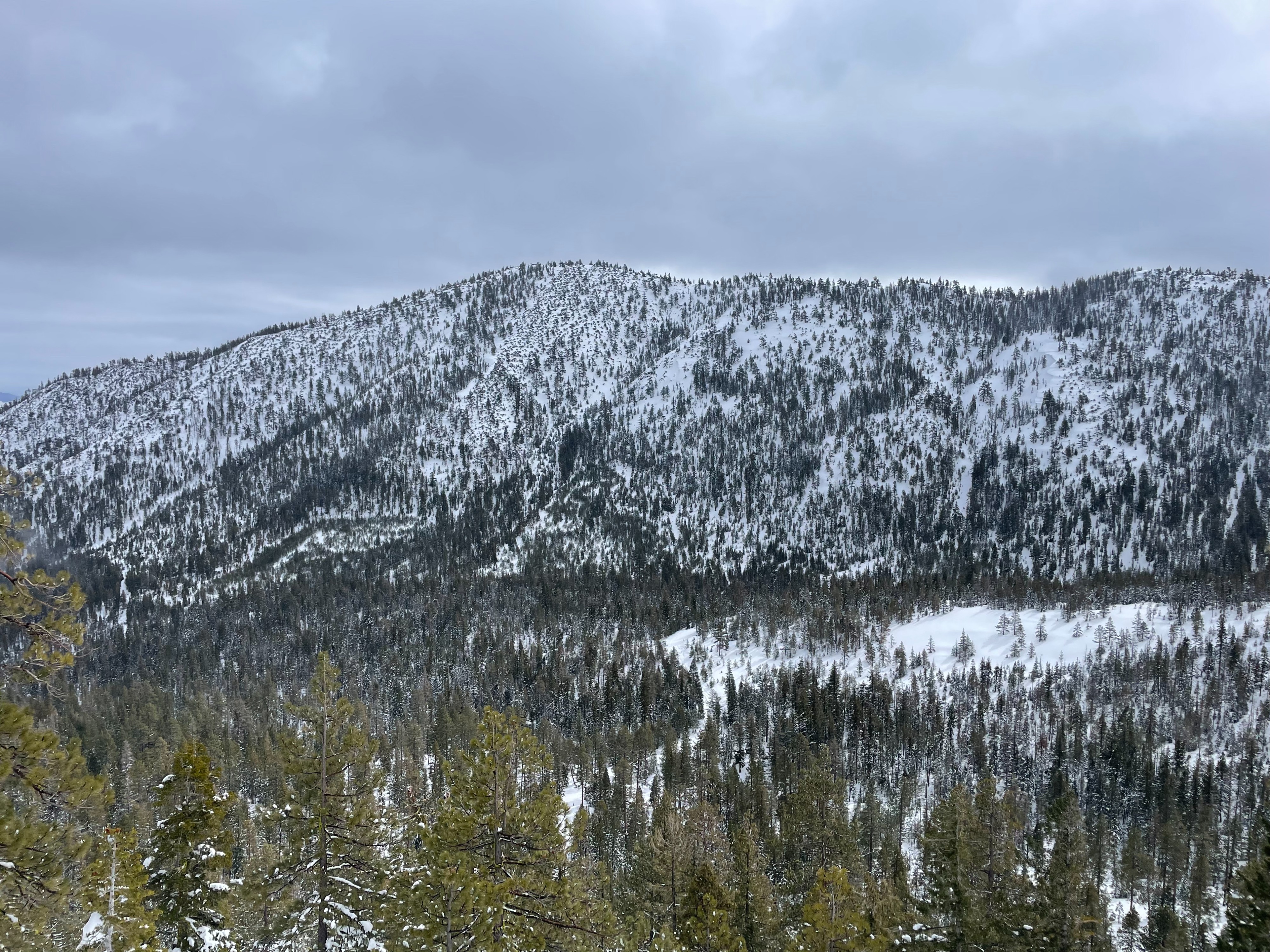
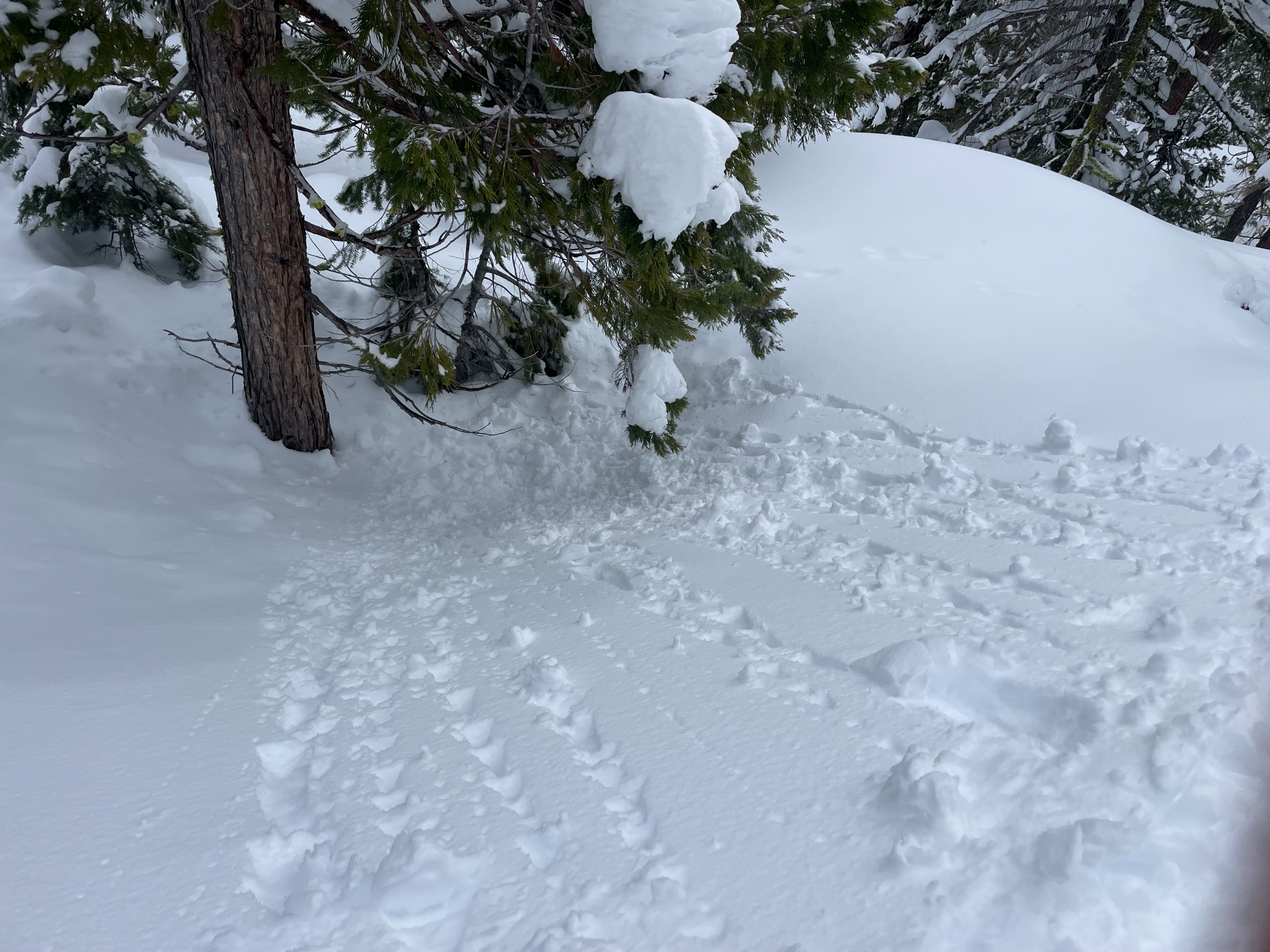
Today, I traveled to the Caldwell Lakes area in search of new snow and warming instability. This side of the forecast area only accumulated three to four inches of snow during Wednesdays night's storm. One inch of recent snow sits at the very top, likely from the last 24 hours. This area is warming up quick, with trees shedding, and roller balls on every steep slope. Ski quality was quite slow, sticky, and poor. Small, wet, loose avalanches could be triggered near rocks from a ski cut.
All observed instability was due to warming, and saturating surface snow. Roller balls were abundant, trees shed their snowy coats, and small wet loose avalanches could be triggers by a ski cut. Instability only involved the top inch or two of surface snow.Weather
- Cloud Cover
- overcast
- Wind Loading
- none
- Rain Elevation
- 4,000 feet
- Recent Snowfall
- 2
- Snow Avail For Transport
- moderate amounts
The day started off with light snowfall and cloudy skies, with the rain line around 4,000 feet. As the day continued, skies became mostly cloudy, with moments of clear sunshine. Temperatures warmed quickly as the sun made an appearance. Wind blew lightly out of the west.
Snowpack
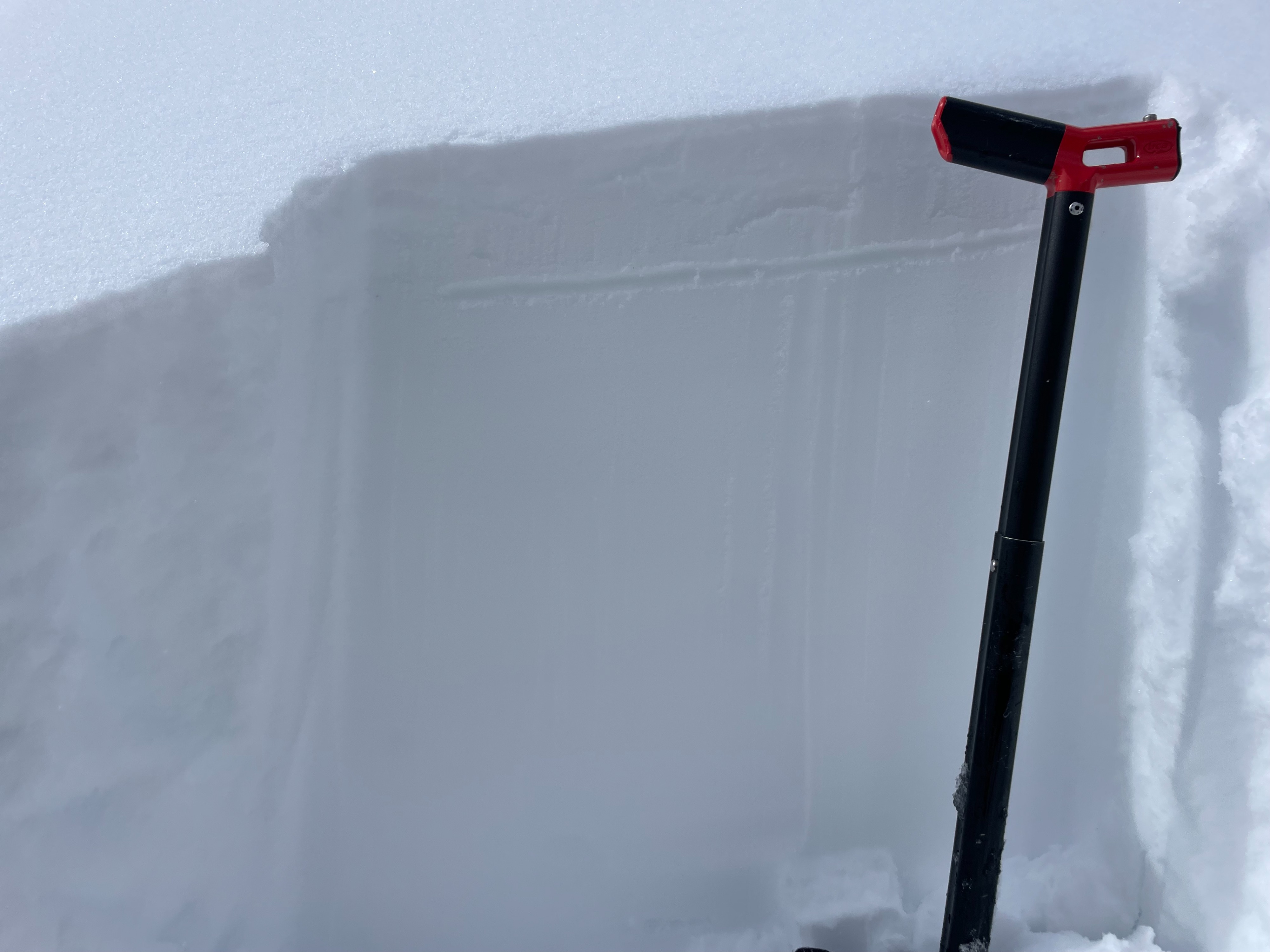
At 6,800 feet on an east aspect, snow depth was measured at 340 cm. This side of the forecast area only picked up three to four inches of new snow during Wednesday night's storm. A solar crust exists on SE-S-SW-W aspects below 1 inch of damp surface snow.