
Quick report
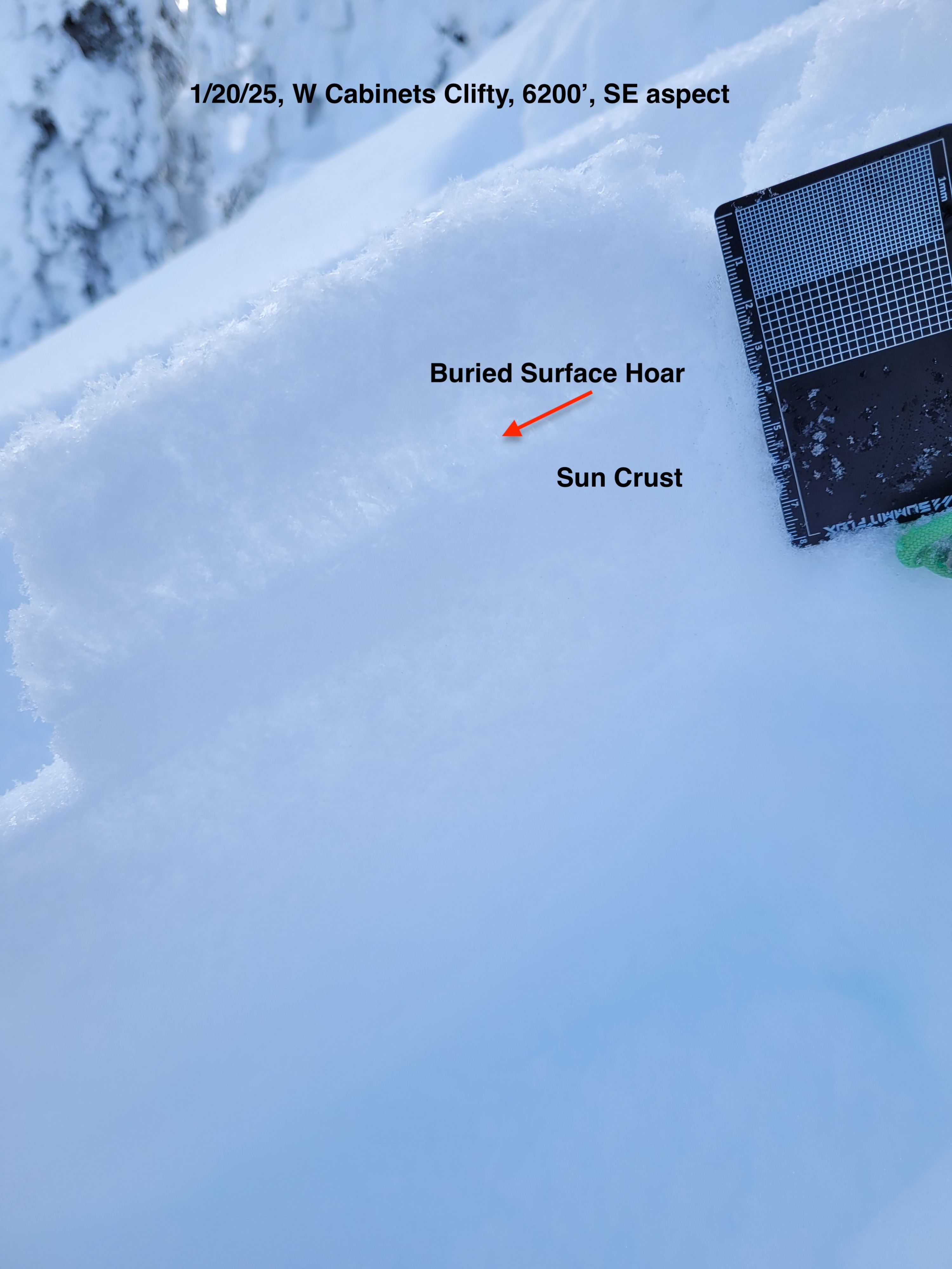
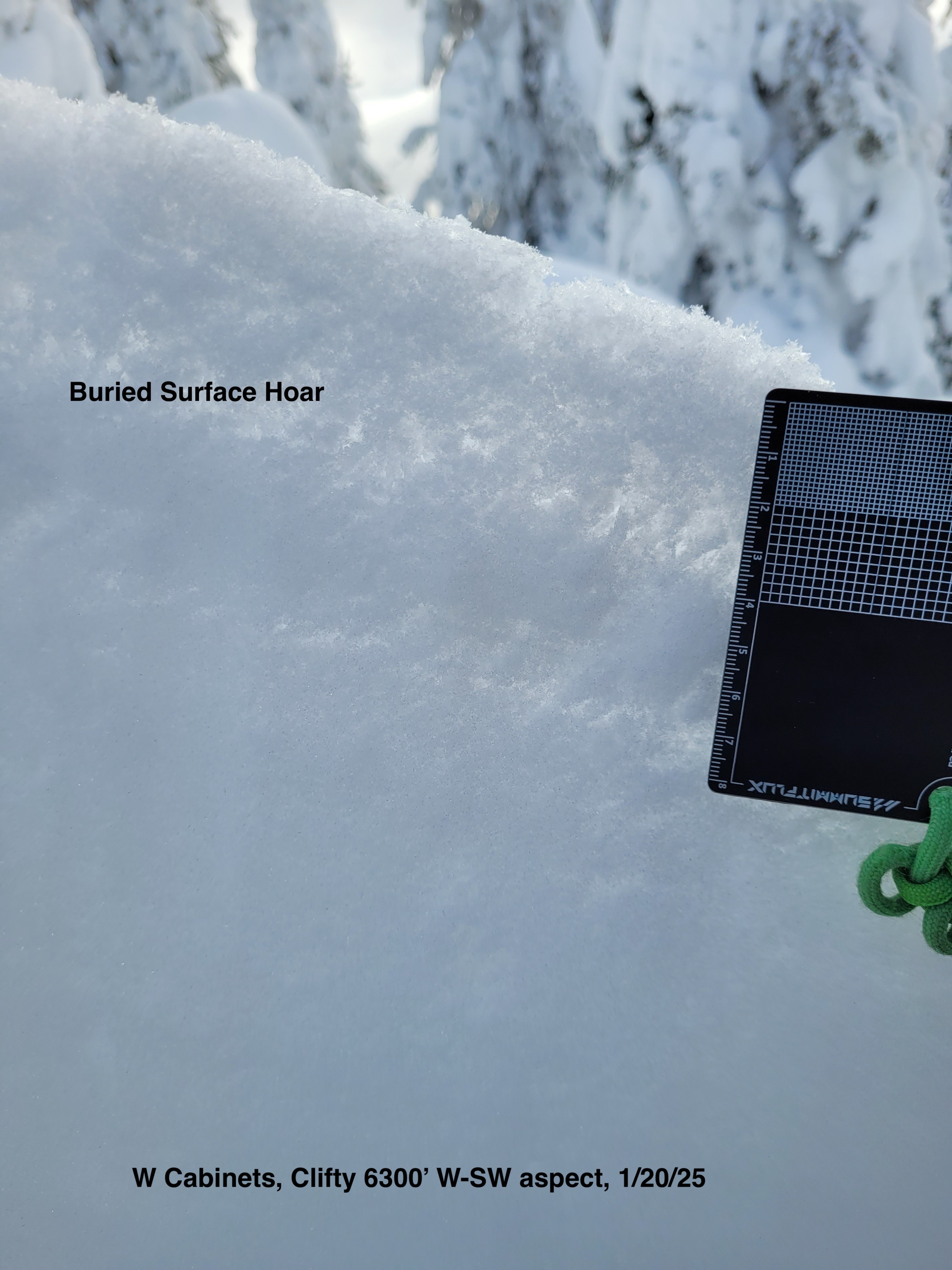
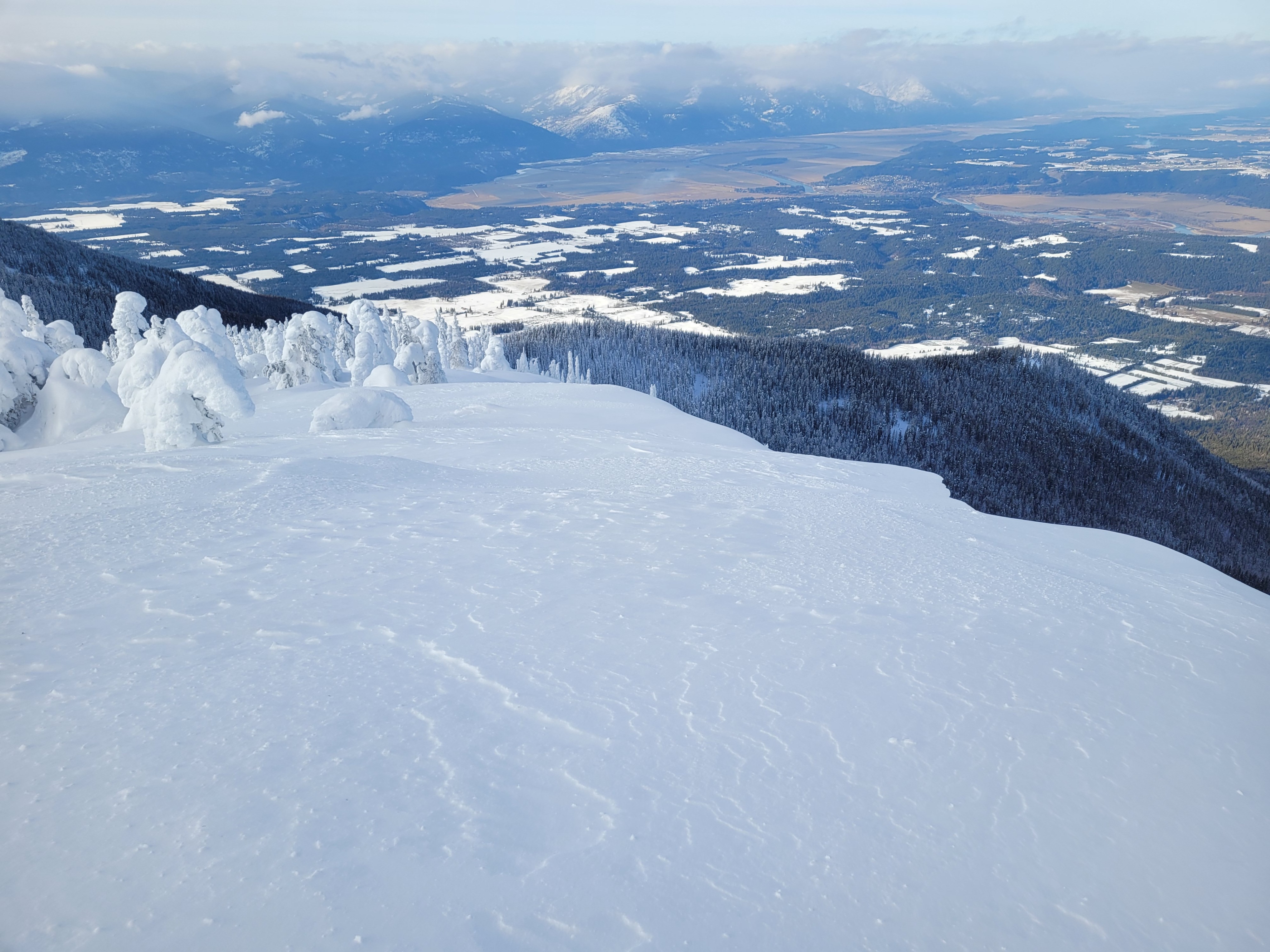
Current surface and near surface snowpack conditions can be summed up in one word: variable. A light dusting of new snow over: older soft snow, a sun crust, previous wind effected snow, and surface hoar all make up the current snow surface or near surface conditions. These variables are inconsistent in presence through both the elevation bands and across aspects.
Weather
- Cloud Cover
- scattered
- Wind Loading
- light
- Recent Snowfall
- 2 - 4
- Snow Avail For Transport
- small smounts
Cold temperatures in the teens to single digits Farenheight. Partly cloudy and light SW ridge top winds.
Snowpack
Surface Hoar (SH) is on the surface or buried near the surface with 2cm (~1in) of new low density snow. SH, average size 8mm, is present in many specific areas but is notably absent on some southerly aspects where recent light winds may have destroyed the SH. The 2-3cm (~1in) recent light new snow lacks cohesion and thickness to be a slab over SH weak layer yet, we did not observe any cracking or collapsing in buried surface hoar.
A breakable sun crust (1F hard, 1cm thick on average) is on the surface or down 2cm and is found on most southerly aspects. Snow under this sun crust (decomposing and fragmented precipitation snow particles) are in the beginning stages of becoming sugary incohesive faceted snow grains.
Other aspects have a paper thin melt freeze crust near the surface instead of thicker sun crust. We saw northerly aspects to have inconsistent near surface conditions with 2cm new snow over either soft snow or previous hard packed wind effect snow.
A snowpit dug at 6300’ on a W - SW aspect (snowpack height 135cm) showed a right side up snowpack with softer snow over firmer snow. We observed one subborn and broken failure plane in a column test; CT23 Q3/BRK down 40 cm on a hand hardness change. A single crust (P hard, 0.5cm thick or less) is down 50cm.