
Quick report
- Cracking
- specific
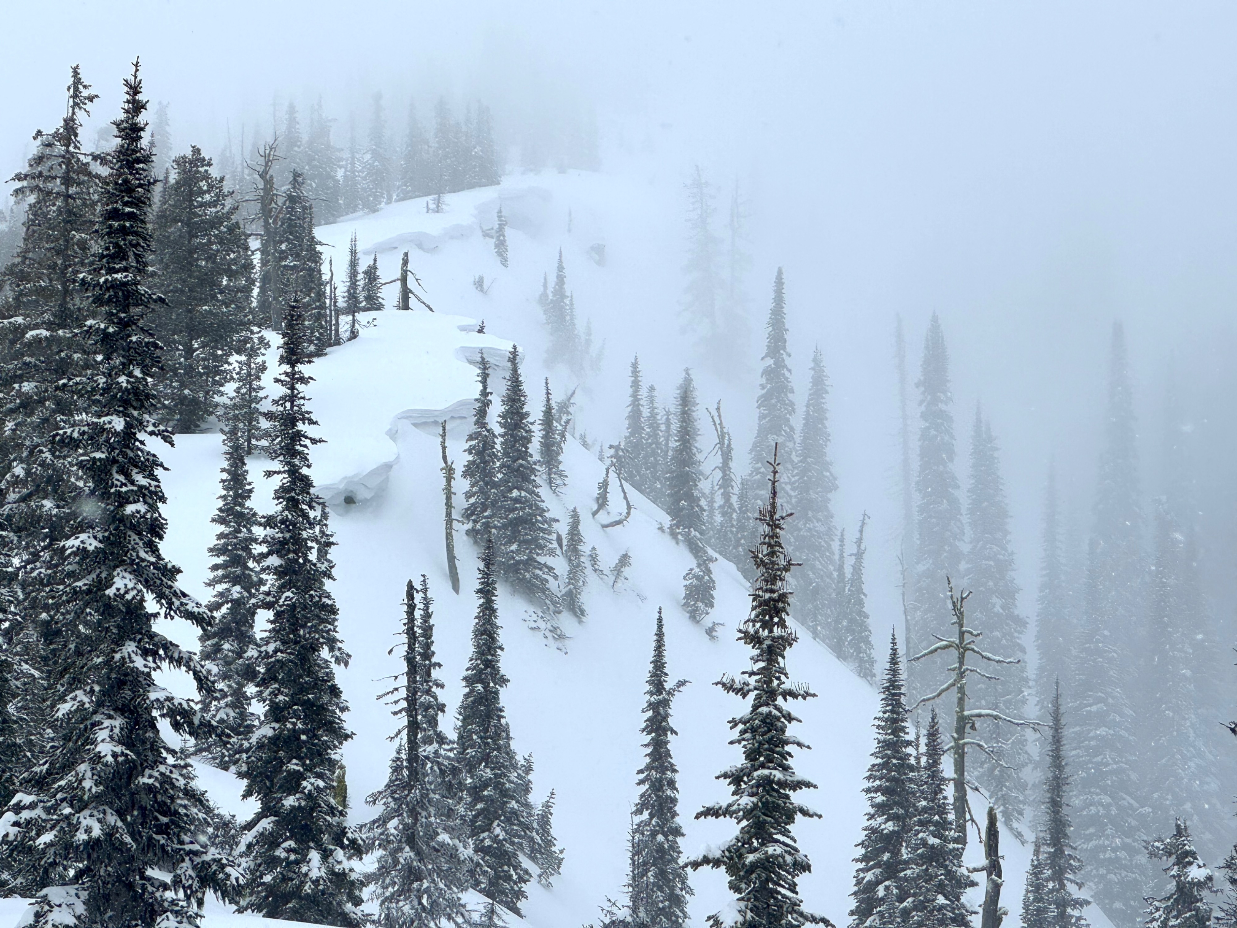
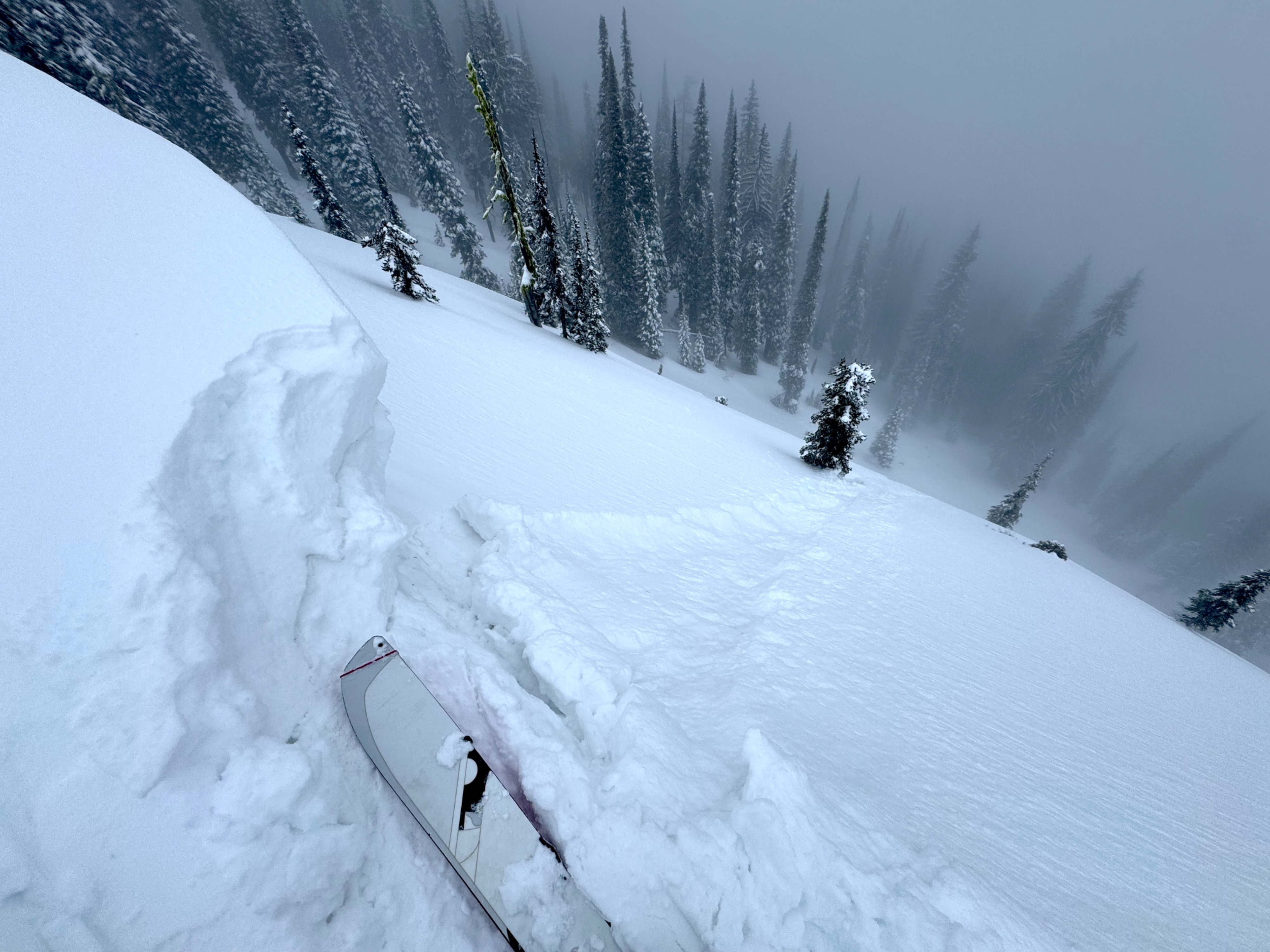
Cracking observed in specific locations during our tour. Cracking was fairly prevalent near 5,000 feet in sheltered locations. The failure plane was the new snow interface 4 inches below the surface. Interestingly as we climbed higher in elevation this cracking was a much less common occurence. Additionally we were able to produce some small cracking on the overhanging edges of fresh drifts along the ridge. Again this instability was confined to the most recent snowfall.
Weather
- Air Temp
- 30 degrees F @ 6200 feet
- Cloud Cover
- overcast
- Wind Loading
- moderate
- Rain Elevation
- 2000 feet in the morning to 4000 feet late afternoon
- Recent Snowfall
- 10cm
- Snow Avail For Transport
- large amounts
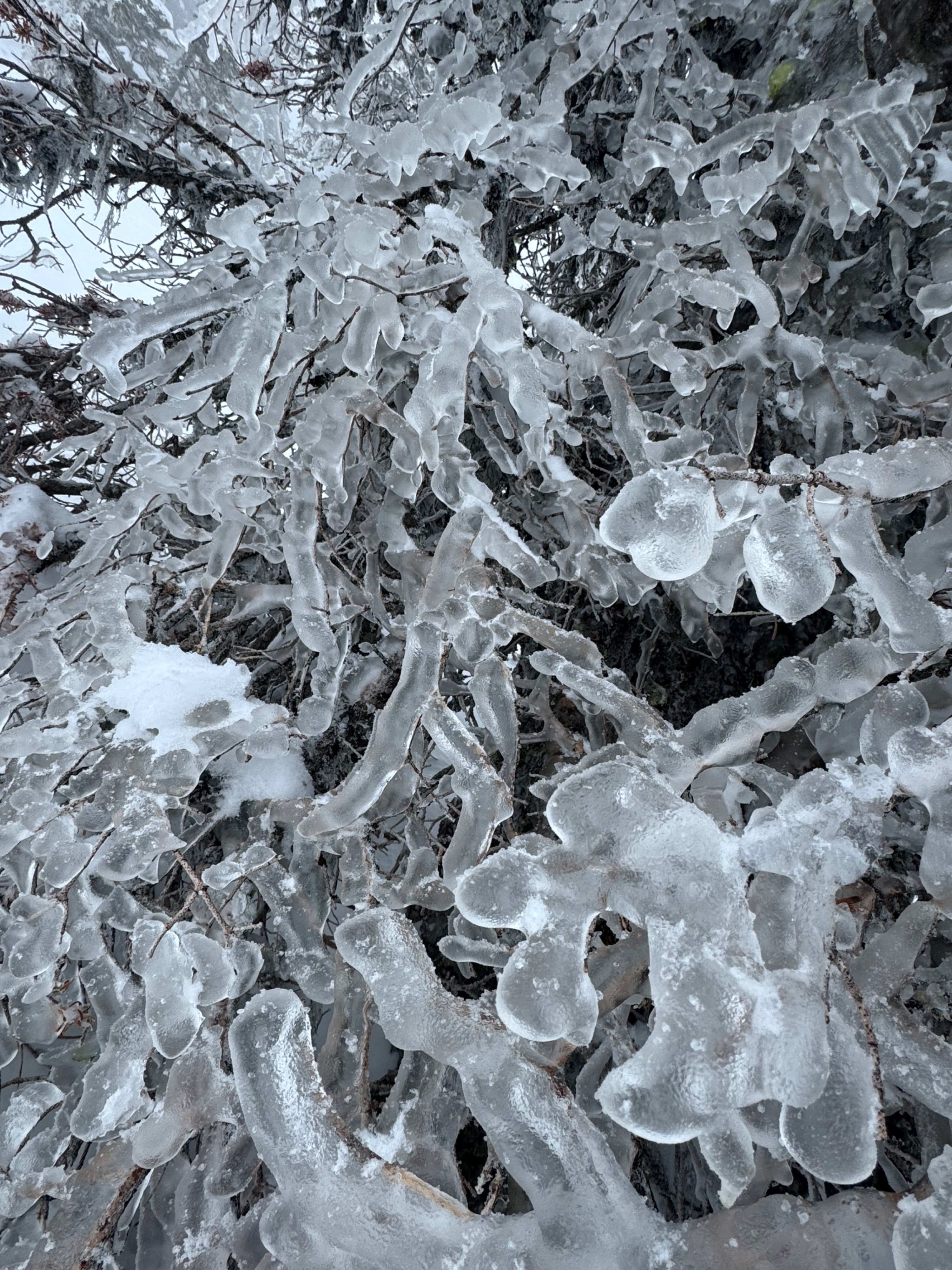
Snowy morning to start the day. Warming air transitioned snowfall into ice pellets at lower elevations by mid day. Light to moderate snowfall continued throughout the rest of the day amounting to 4 to 5 inches of new snow within the last 24-hours. Temps remained much cooler than was forecasted in the morning, keeping the surface snow dry above 4,000 feet. Very light rain and foggy conditions were observed late in the afternoon below 4,000 feet. Winds were light to moderate out of the southwest at ridgelines, with a few sporadic strong gusts and spindrifts impacting terrain above 5500 feet. Active snow trasport was observed during periods with moderate winds.
Snowpack
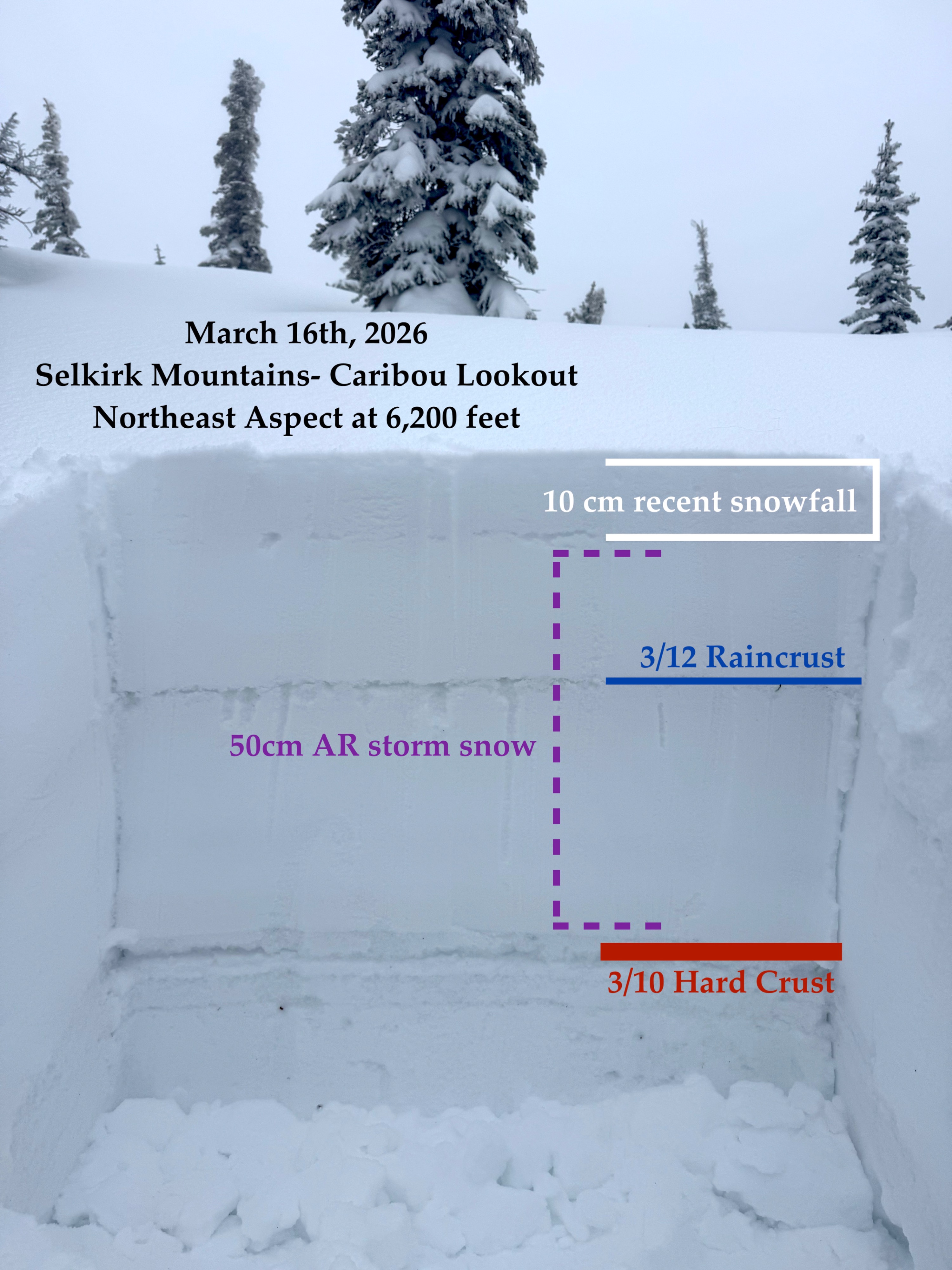
4 to 5 inches of snow fell during the day, with periods of the heaviest snowfall in the late morning. At 6200' on a northeast aspect, we found new snow fell on about 8 inches of snow from the storm March 11 to March 14. Moderate wind with strong gusts transported snow into start zones on the leeward side of ridges.
Below all of this snow was the rain crust that formed durig the spike in the snowline overnight on Wednesday (March 11). This rain crust was only .5cm thick, but knife hard. Two feet below the surface was a thick 3cm knife hard crust as a result of warm temperatures and rain that started on March 8.
We did not observe propagation in an extended column test, but had a break within the upper foot of snow and at the March 8 crust. CT results were non planar and failed with easy force at the same interface in the upper snowpack, and with hard force between the two crusts.
Cracking aroud skis happened more frequently below tree line where new snowfall was denser. Cracking lessened as we gained elevation and colder temperatures delivered lower density snow. On our way out in the afternoon, the rain line appeared to reach 4000 feet and there was moist surface snow at elevations below that.