
Quick report
It is possible to drive all the way to the Brewer Creek Trailhead. There were a couple of snow patches on the road near the trailhead, but even low-clearance vehicles made it through.
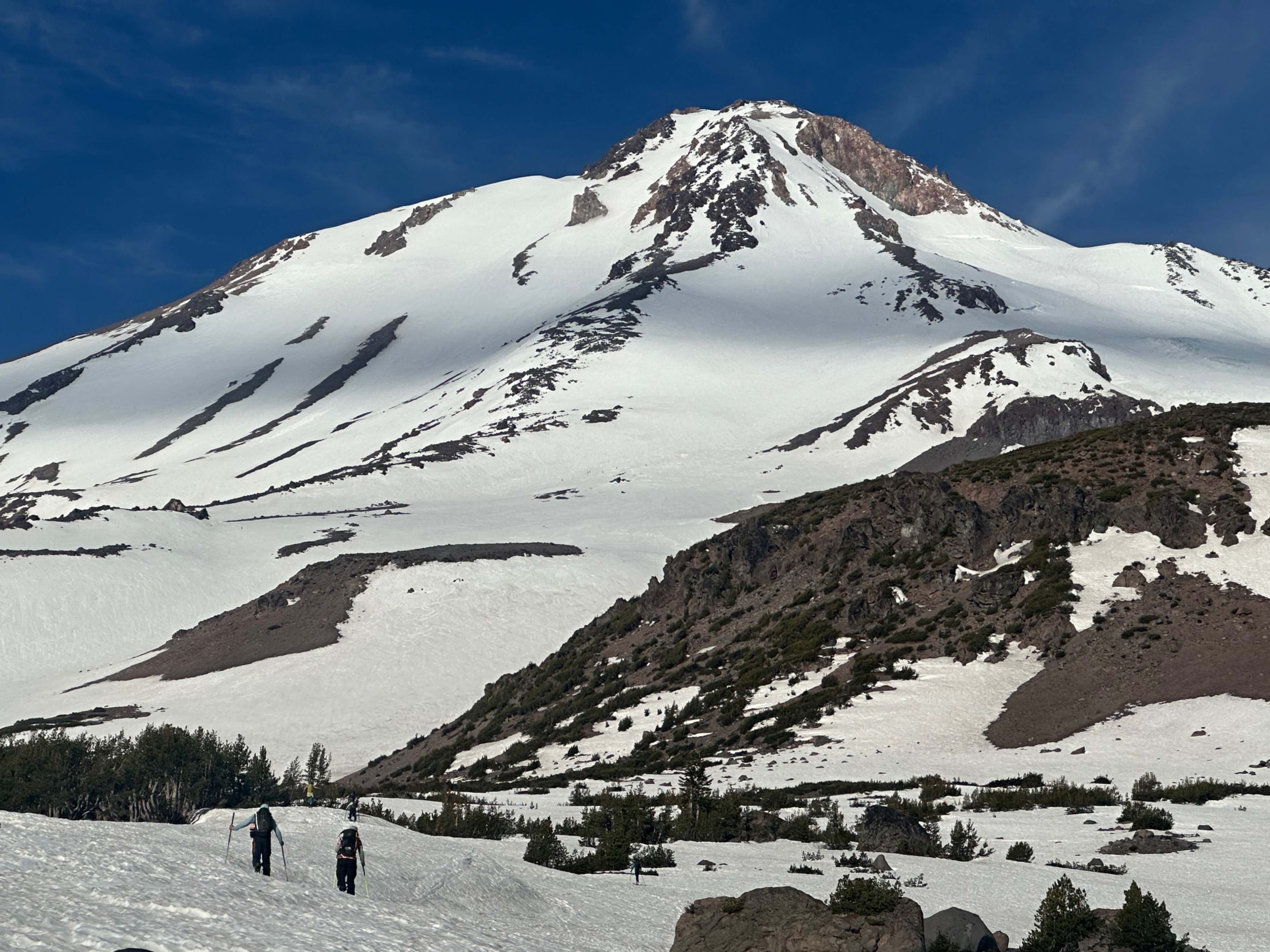
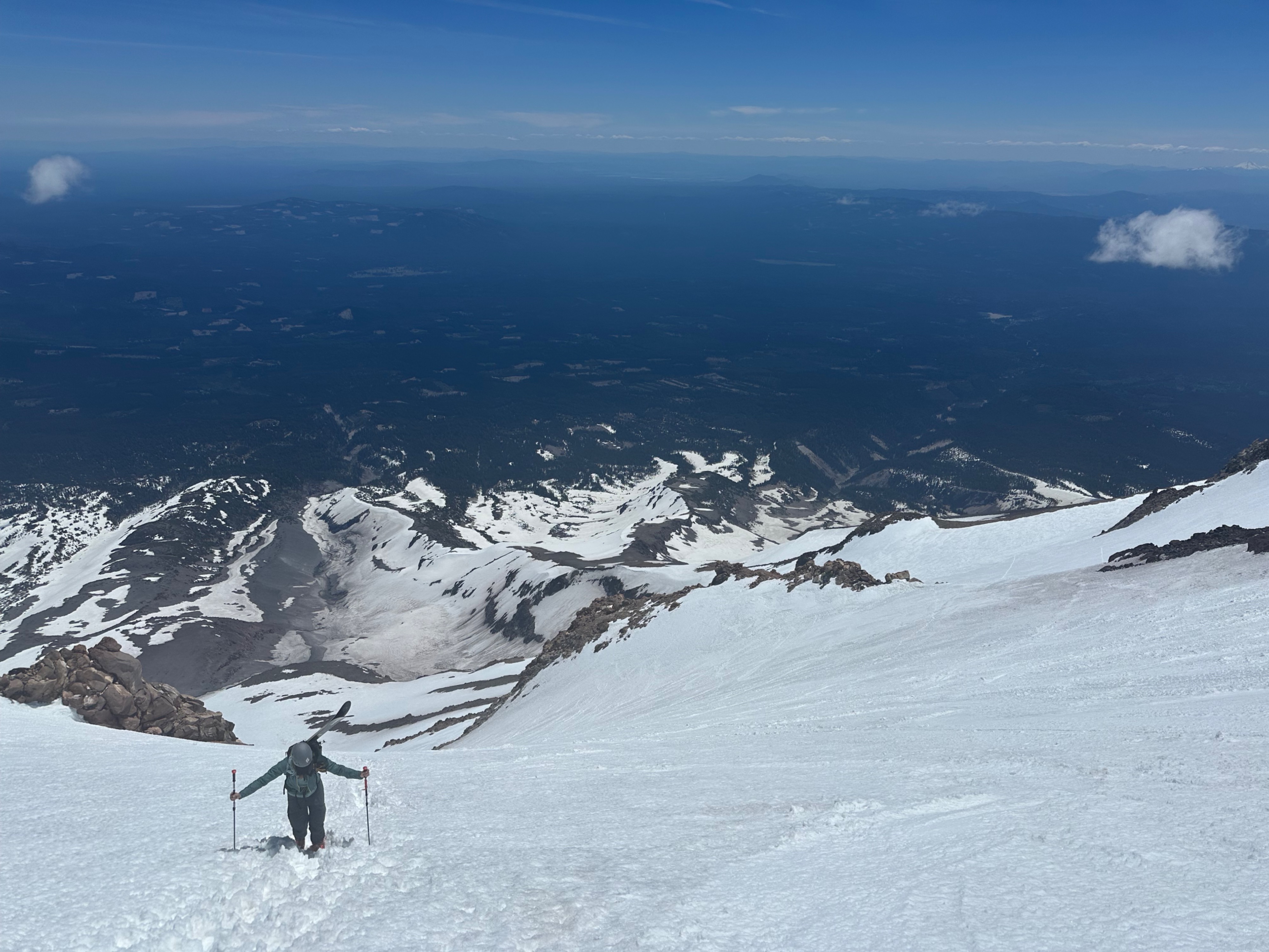
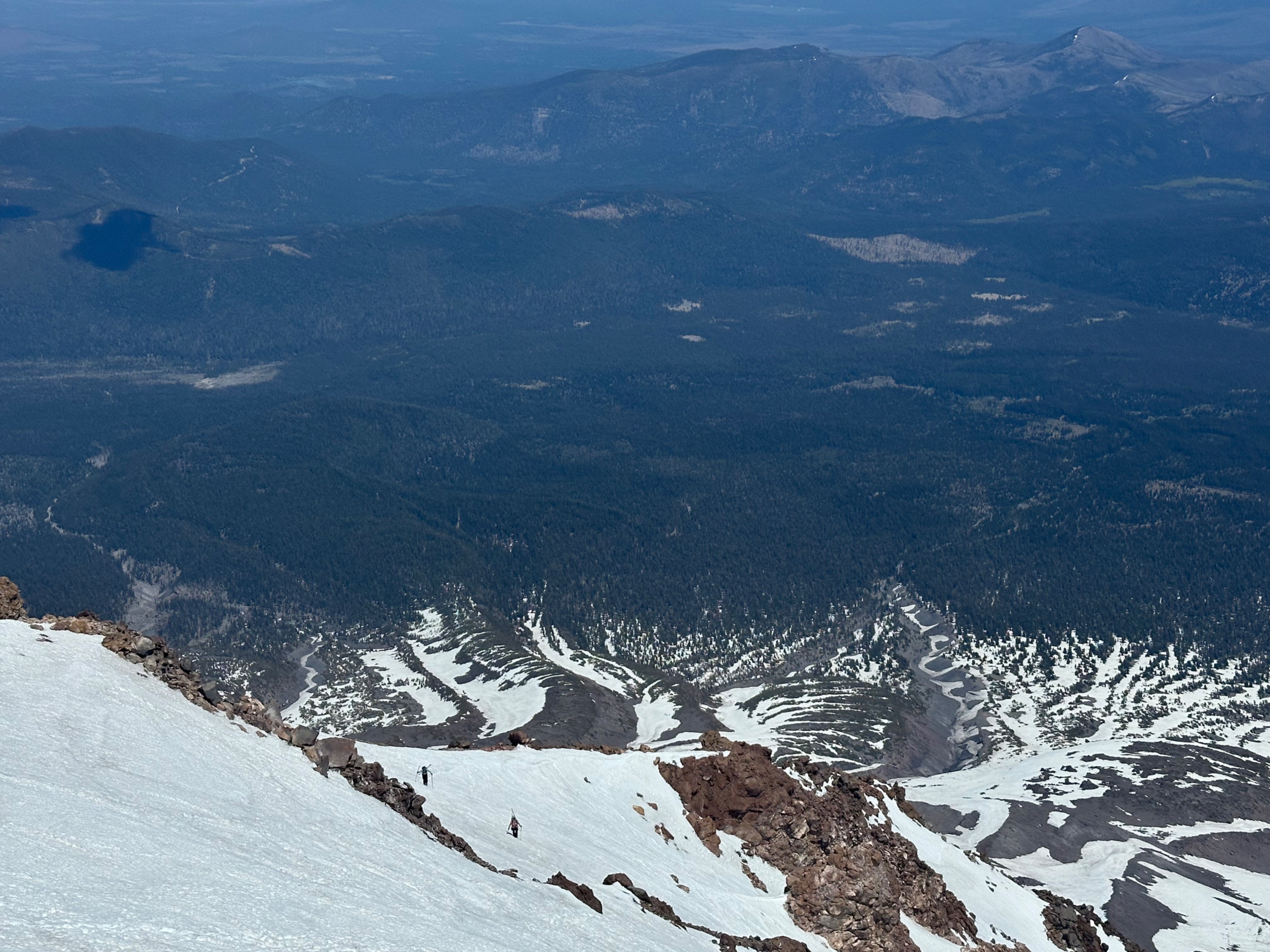
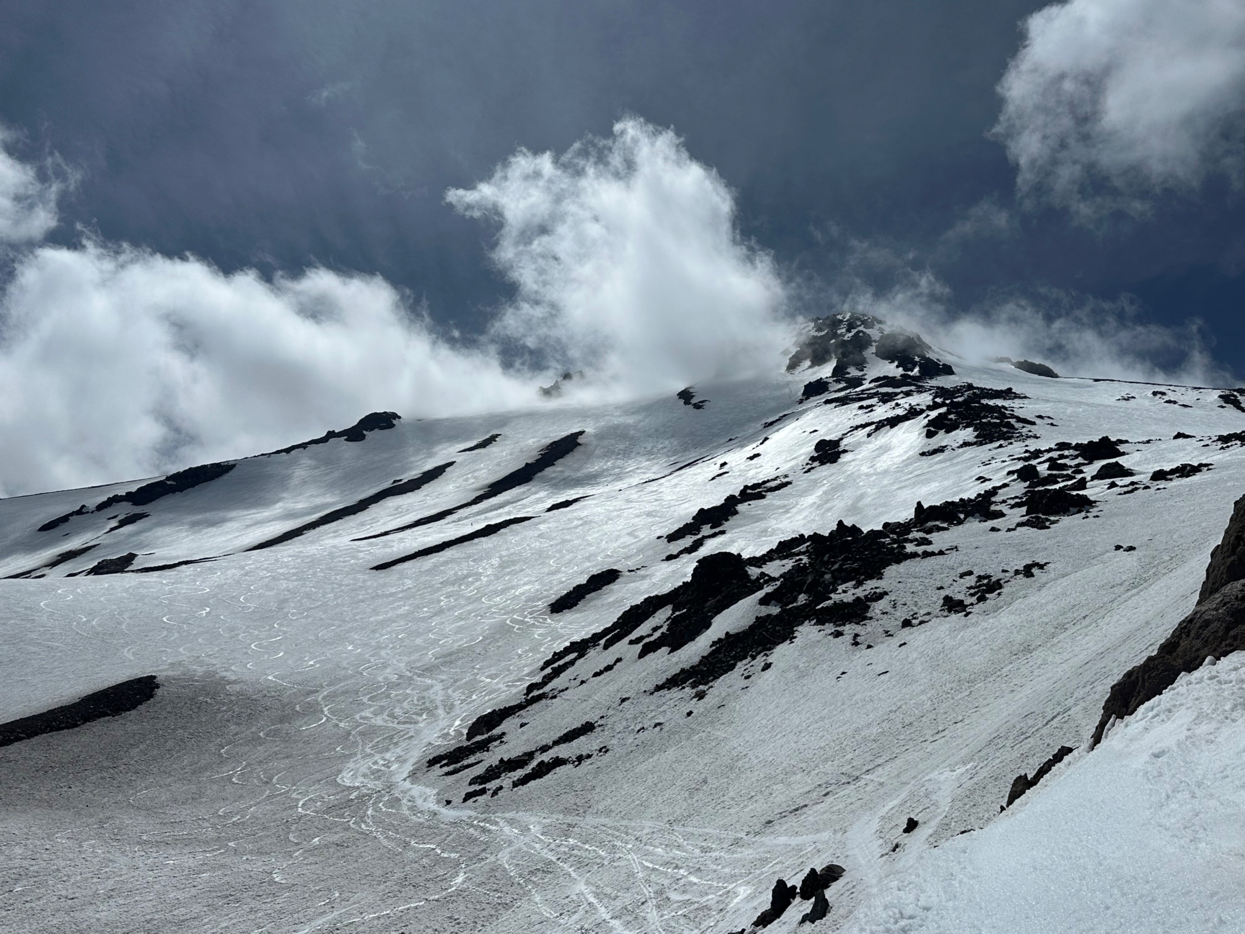
From the trailhead, mostly continuous snow began around 7,700 feet. The route was in good shape for climbing, with consistent snow coverage aside from a few rocky patches near treeline and around 12,800 feet while making the traverse (climber's left) across the ridge between the snowfield and the main chute to the summit. The bootpack in the chute was in good shape, with softening but supportable steps by late-morning.
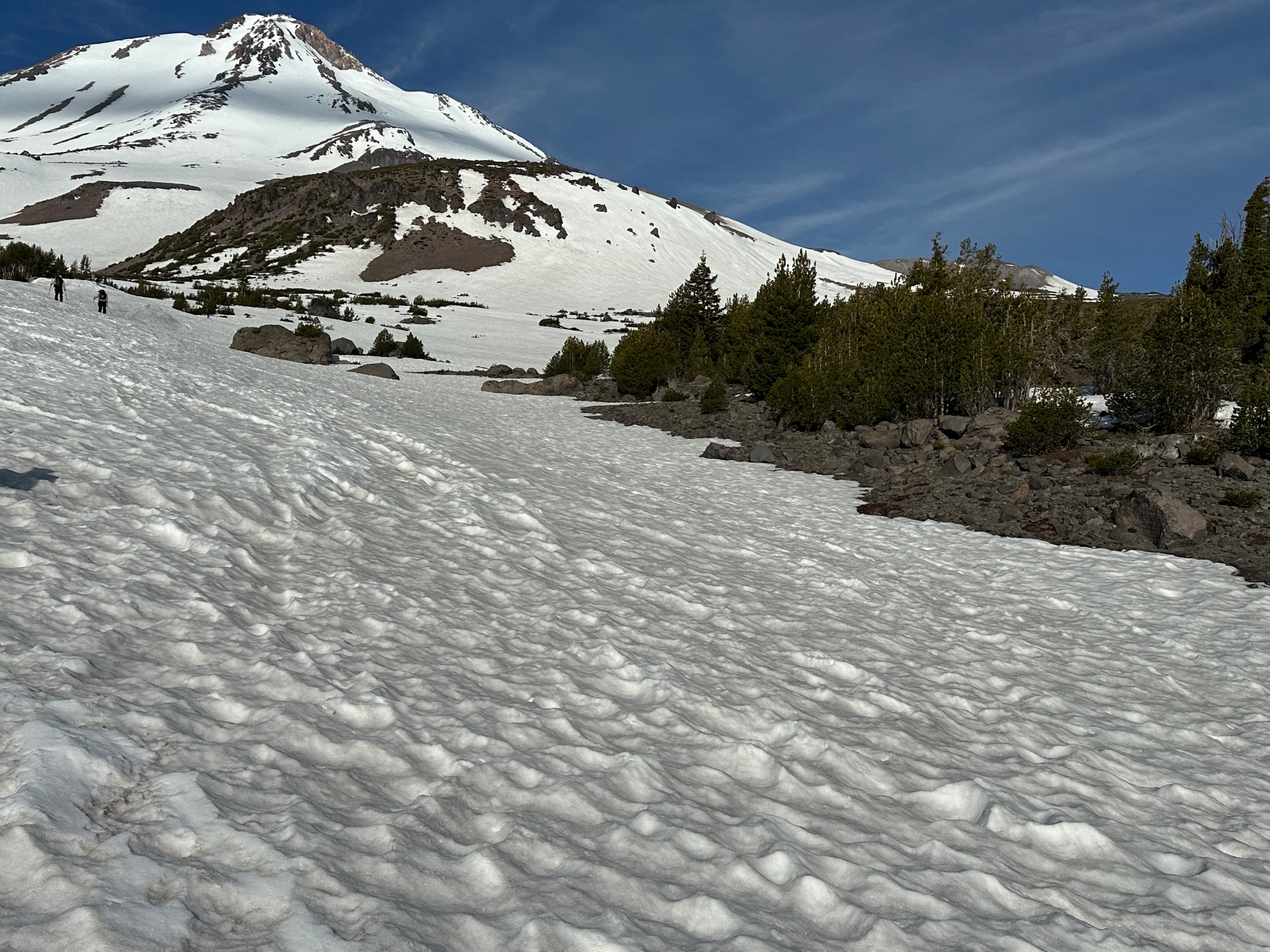
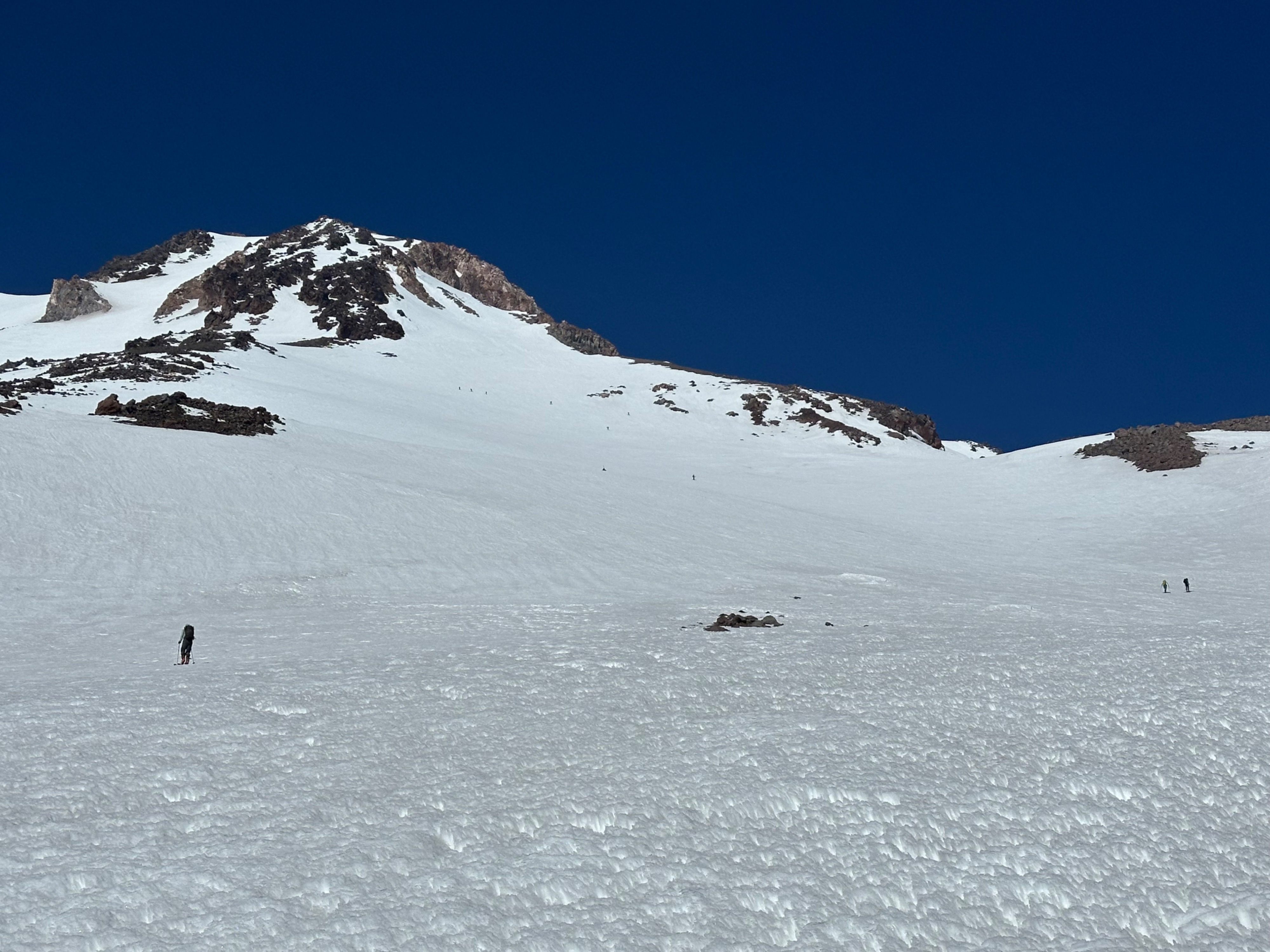
Snow surfaces softened at all elevations by midday. Snow surfaces below ~10,500 feet can best be described as "3-D". Sun cups and even small penitentes were abundant. Skiing was rough - the smoothest turns existed where old ski turns had buffed out the texture.
We observed minor rockfall in the chute below the summit, and there were signs of recent, larger rockfall above 11,000 feet.
There is no running water along the route at this time.
Weather
- Cloud Cover
- few
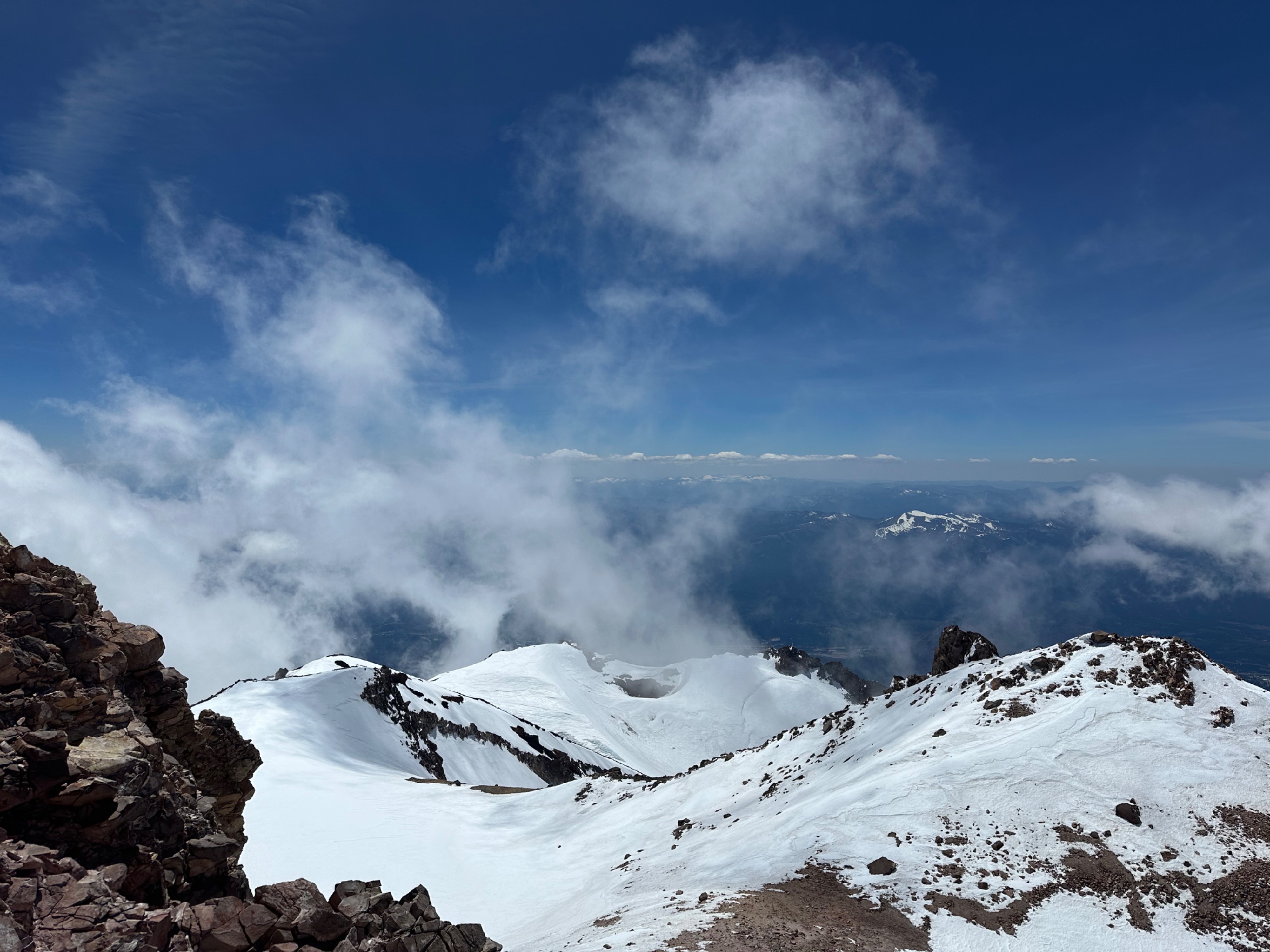
Clear skies and light winds at all elevations. Some building clouds near the summit in the early afternoon.