
Quick report
- Collapsing
- isolated
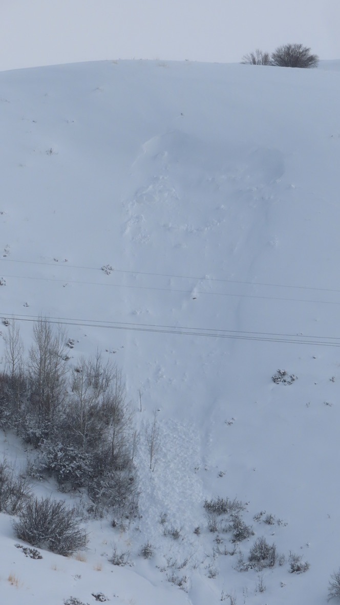
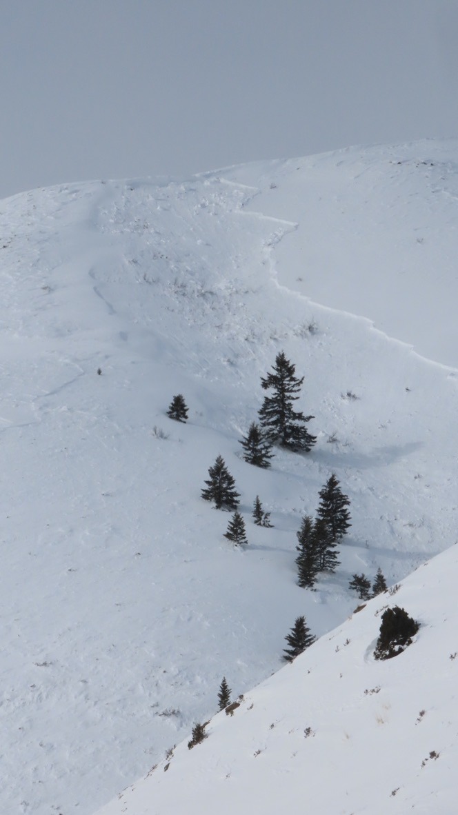
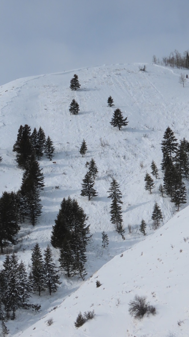
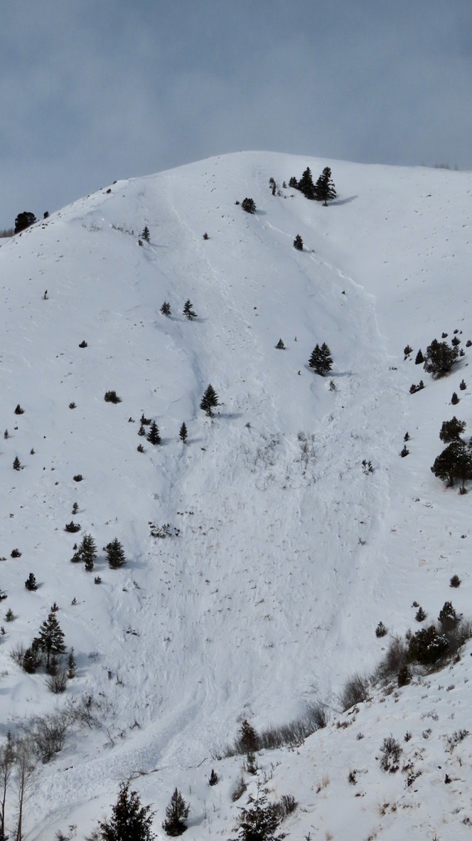
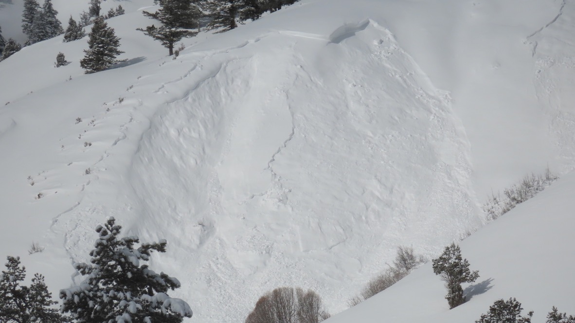
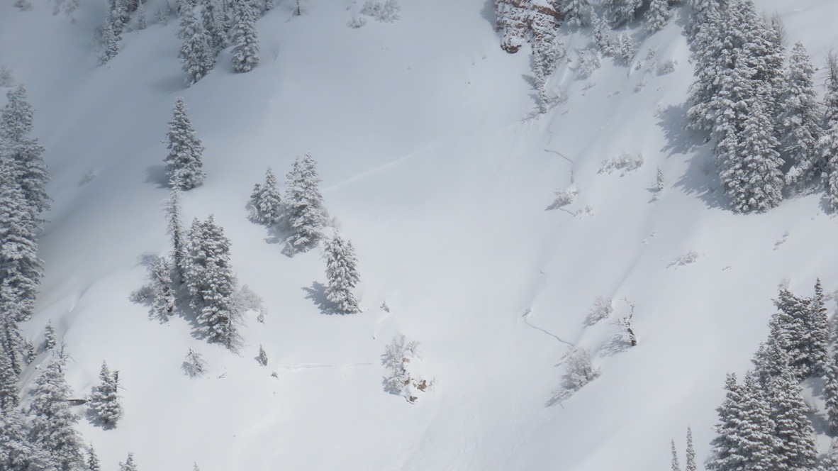
Large collapses were noted in the lower and middle elevations. Recent avalanche activity (past 48 hrs) similarly limited to those elevation bands, that we observed. Likely anything higher went mid-storm and was blown in. Primary concern is a layer of graupel ~15cm thick mixed with facets buried beneath the newest snowfall, down 30-40cm. Several other deeper weak layers have fair strength (non-propagating results in pit) but were close to propagating a fracture across the entire column. Minimal wind affect in upper elevations.
Natural avalanches noted were primarily within the newest snowfall, however, those in the lower elevations appeared to have stepped lower, to weaker snow near the ground.
Also noted were older, buried wind slabs from changes in wind direction which may remain sensitive and were hidden beneath new snowfall. Any wind-loaded terrain should be regarded carefully here, and the structure remains pretty suspect and should be regarded with a "guilty until proven innocent with data" mindset. Avalanches were noted on both NE and SE aspects.
Weather
- Cloud Cover
- scattered
- Wind Loading
- previous
- Recent Snowfall
- 30 cm
- Snow Avail For Transport
- moderate amounts
Snowpack
30-40cm on new snow from the last storm cycle. Dug down to look at the structure of persistent weak layers on the most concerning aspect and elevation:
7650' E aspect HS: 225cm ECTN14 down 33cm on a 13cm thick layer of graupel mixed with facets. No propagation on Jan 26th facets.