
Quick report
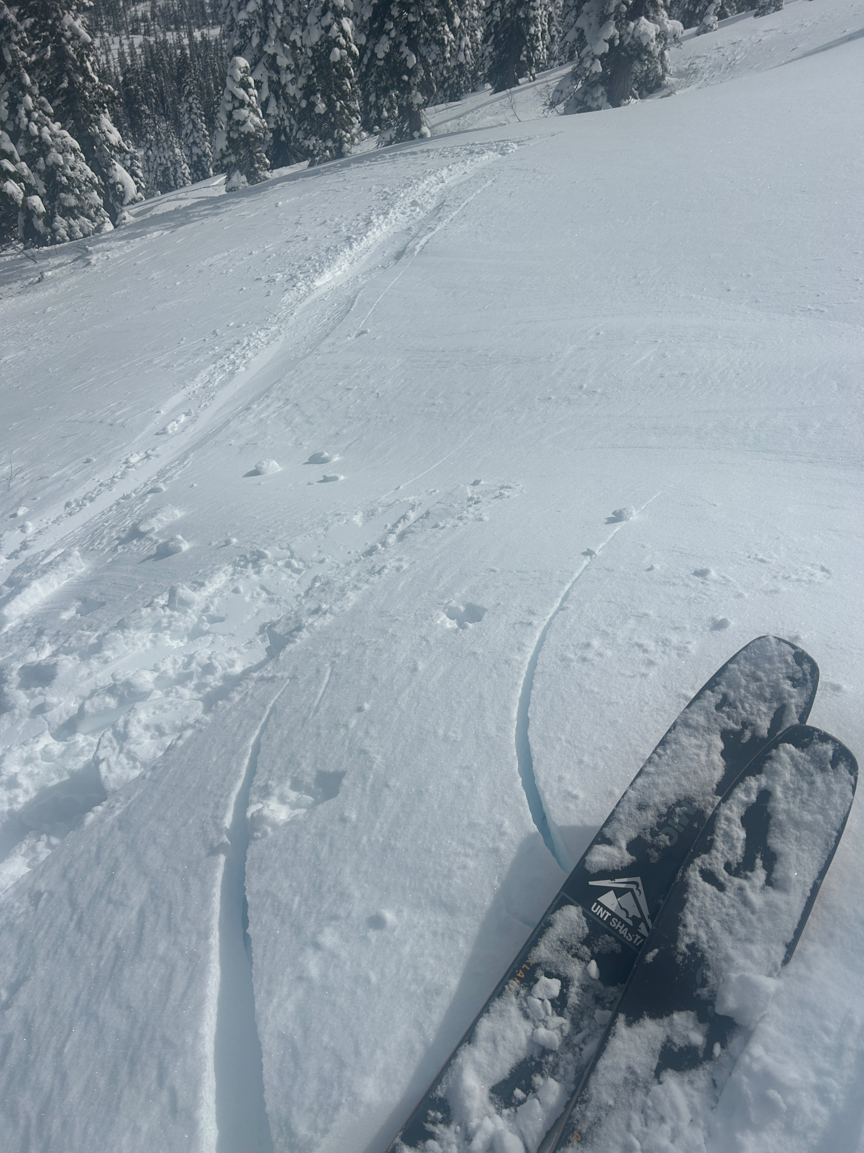
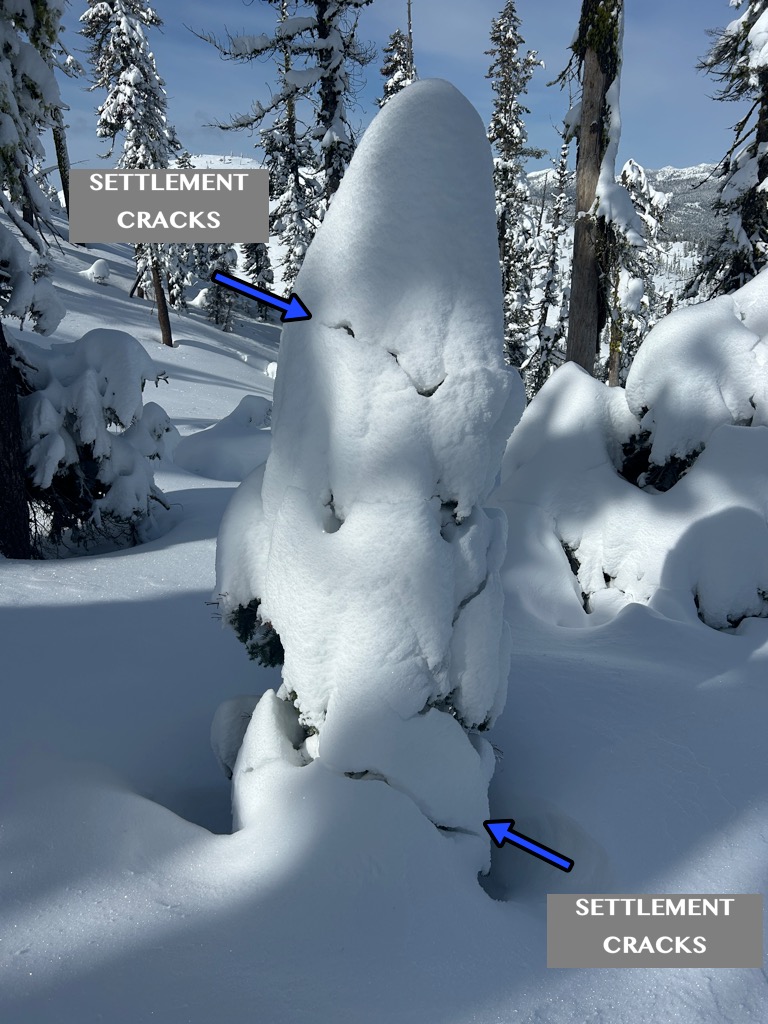
- Cracking
- specific
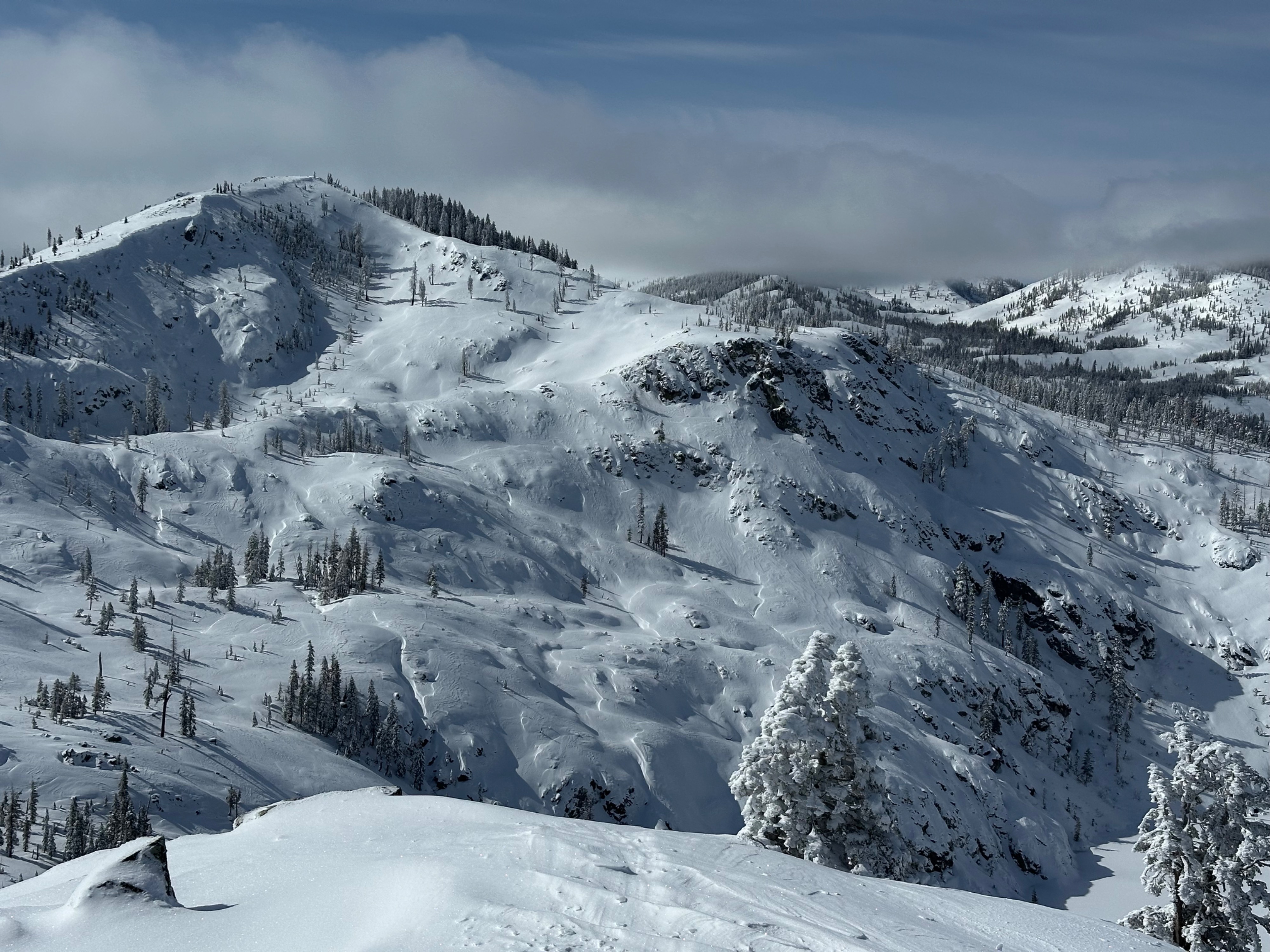
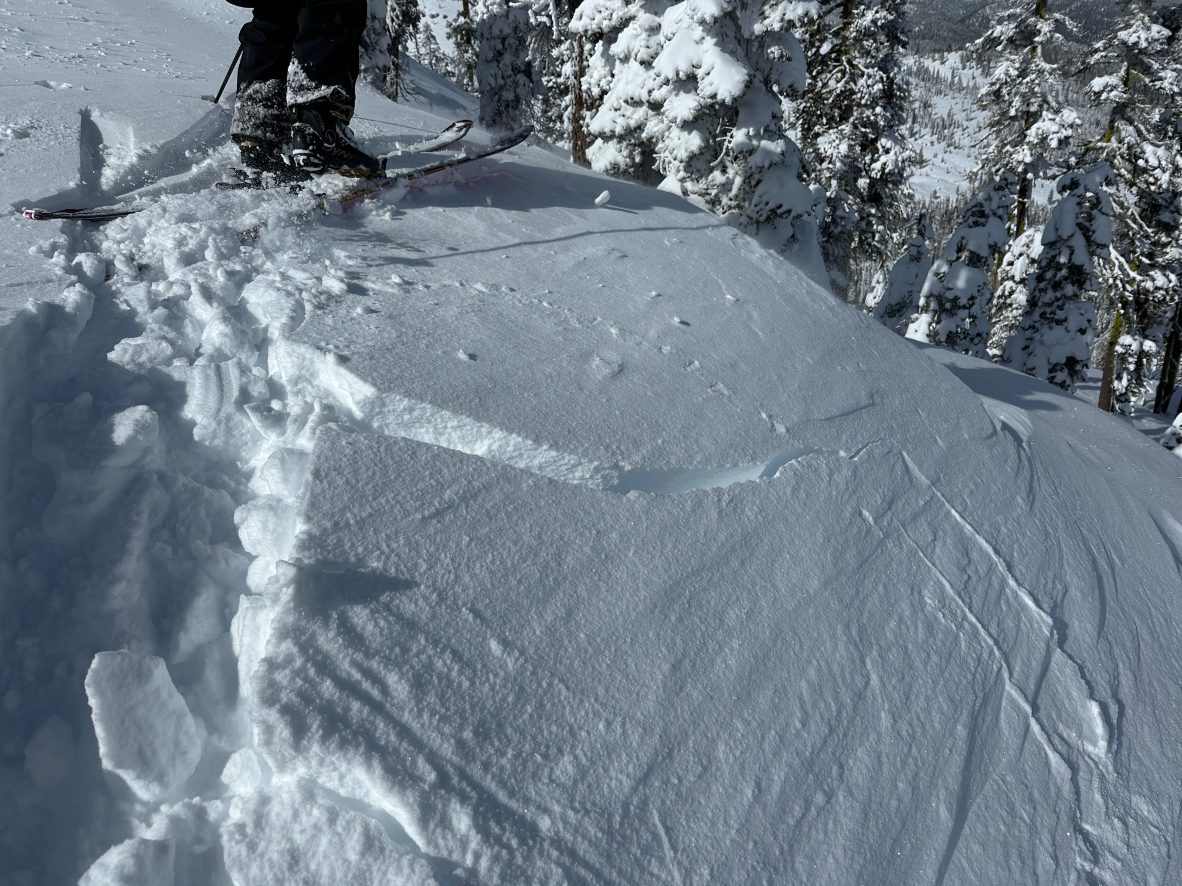
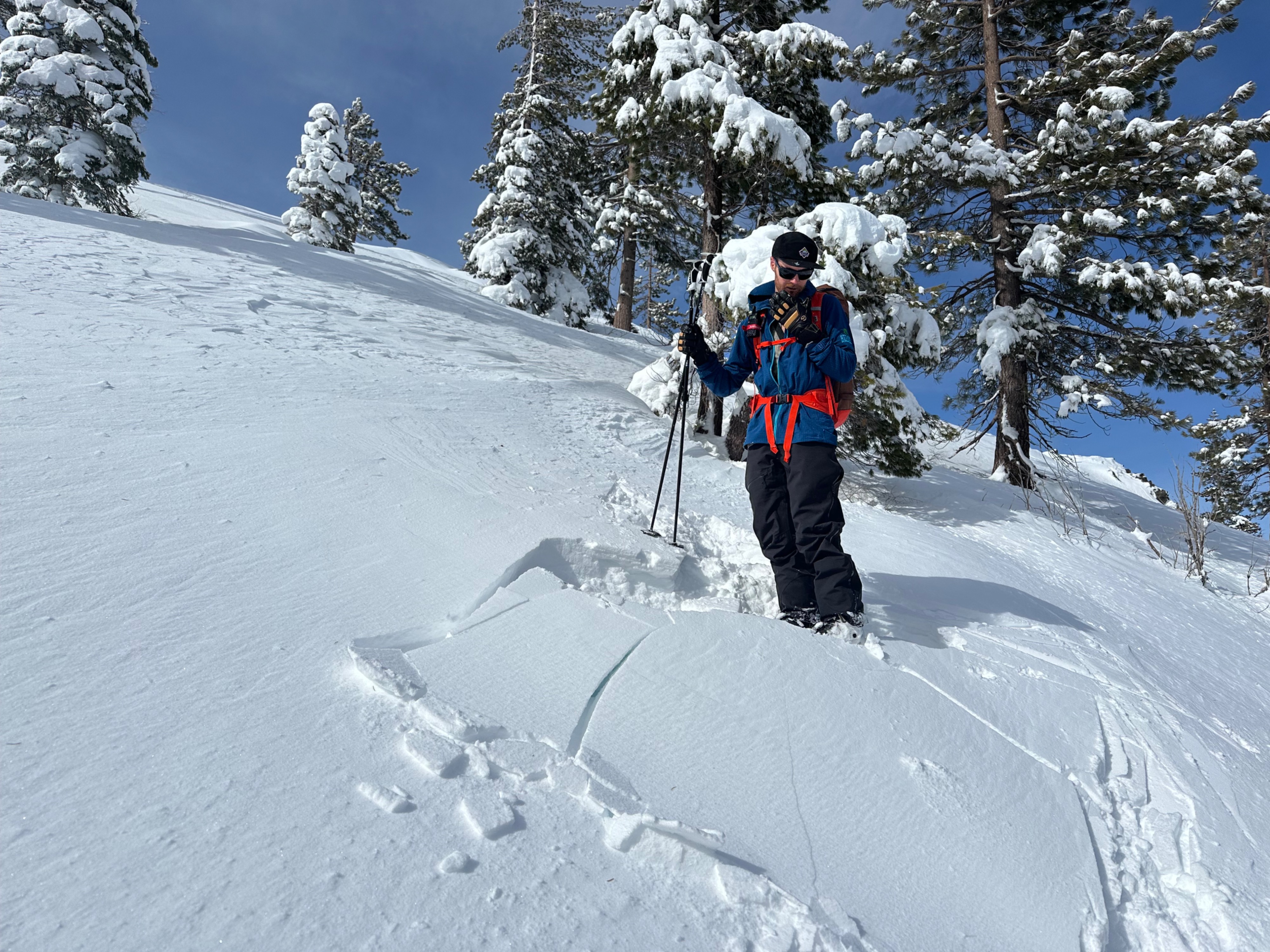
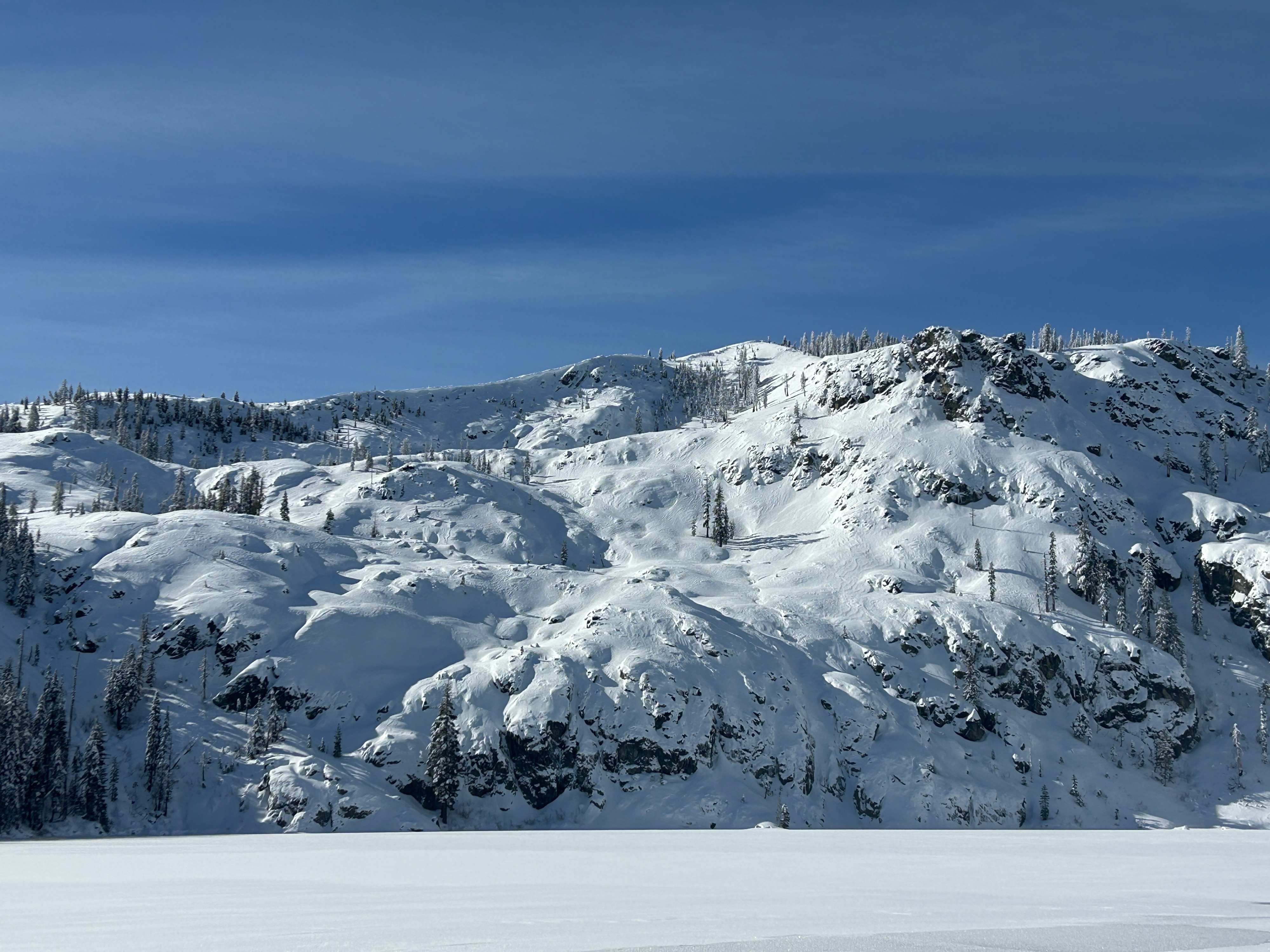
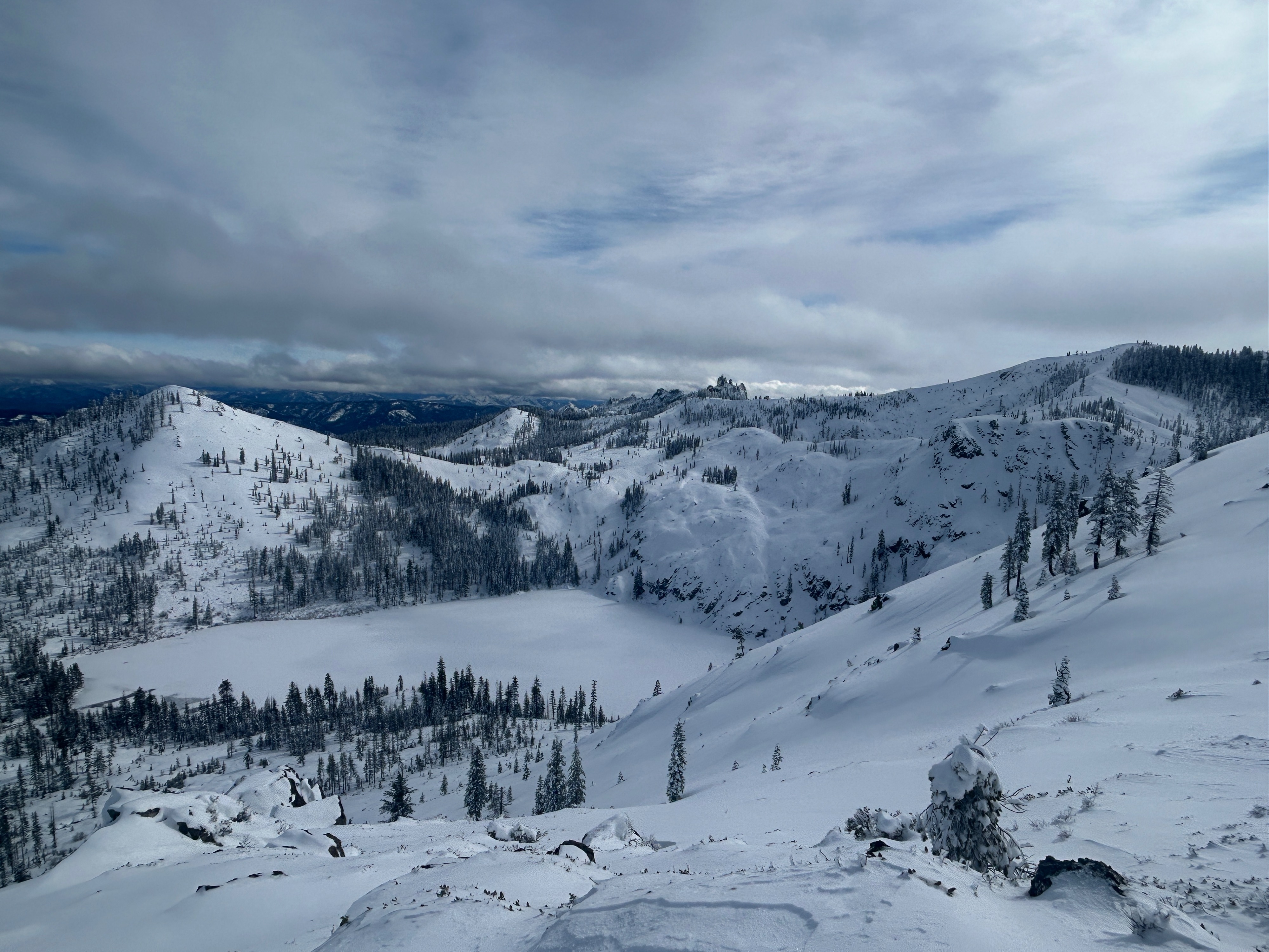
Post-storm observations revealed small pockets of wind slabs on north, east, and south aspects as the main concern. Depths ranged from 10 to 15 inches, failing on the old/new snow interface. These deposits were most sensitive along convex rollovers and ridgeline features in wind exposed areas near and below treeline. Snow surfaces on southerly aspects thickened and became denser over the day but never reached a point for wet loose instability.
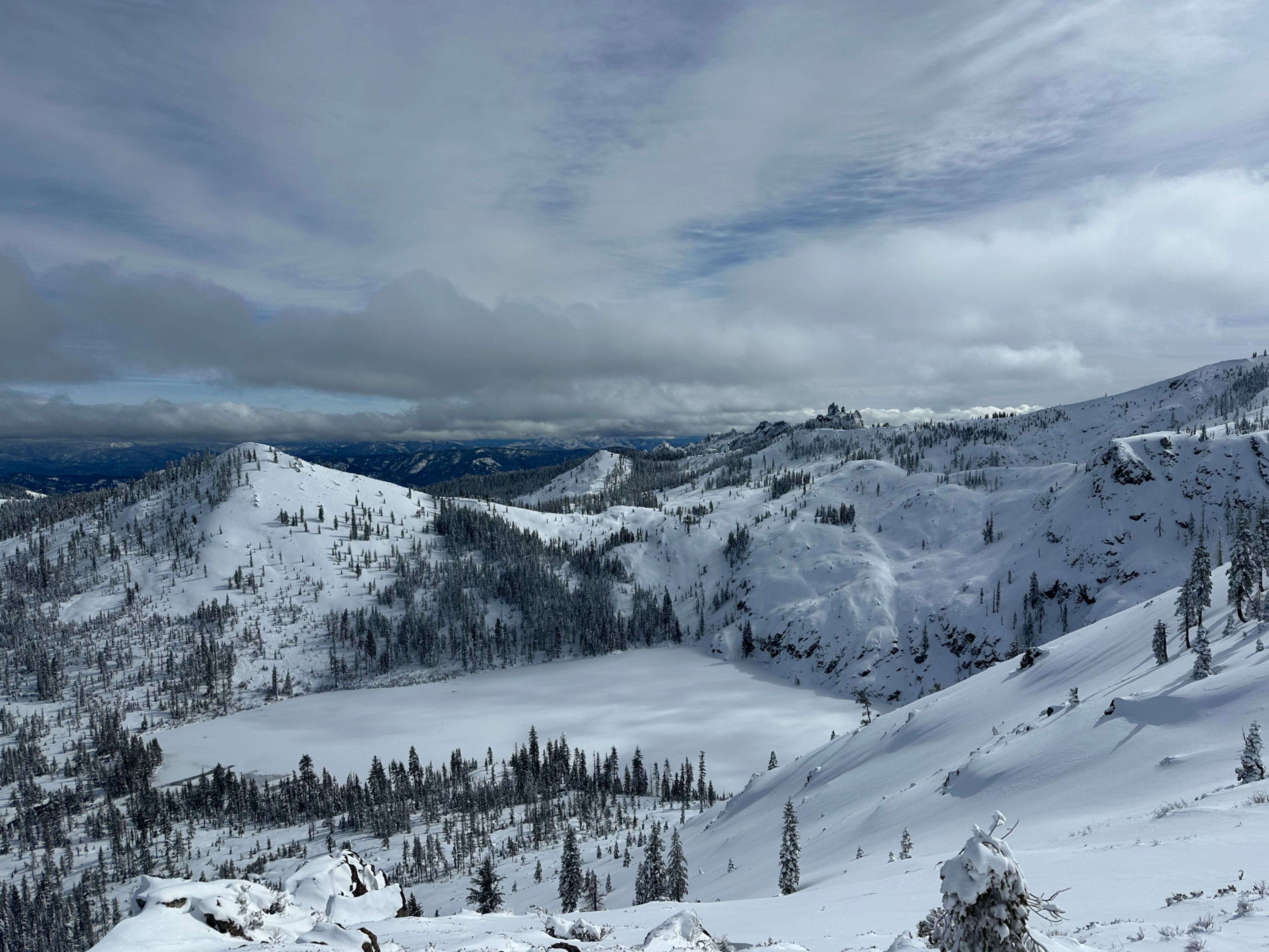
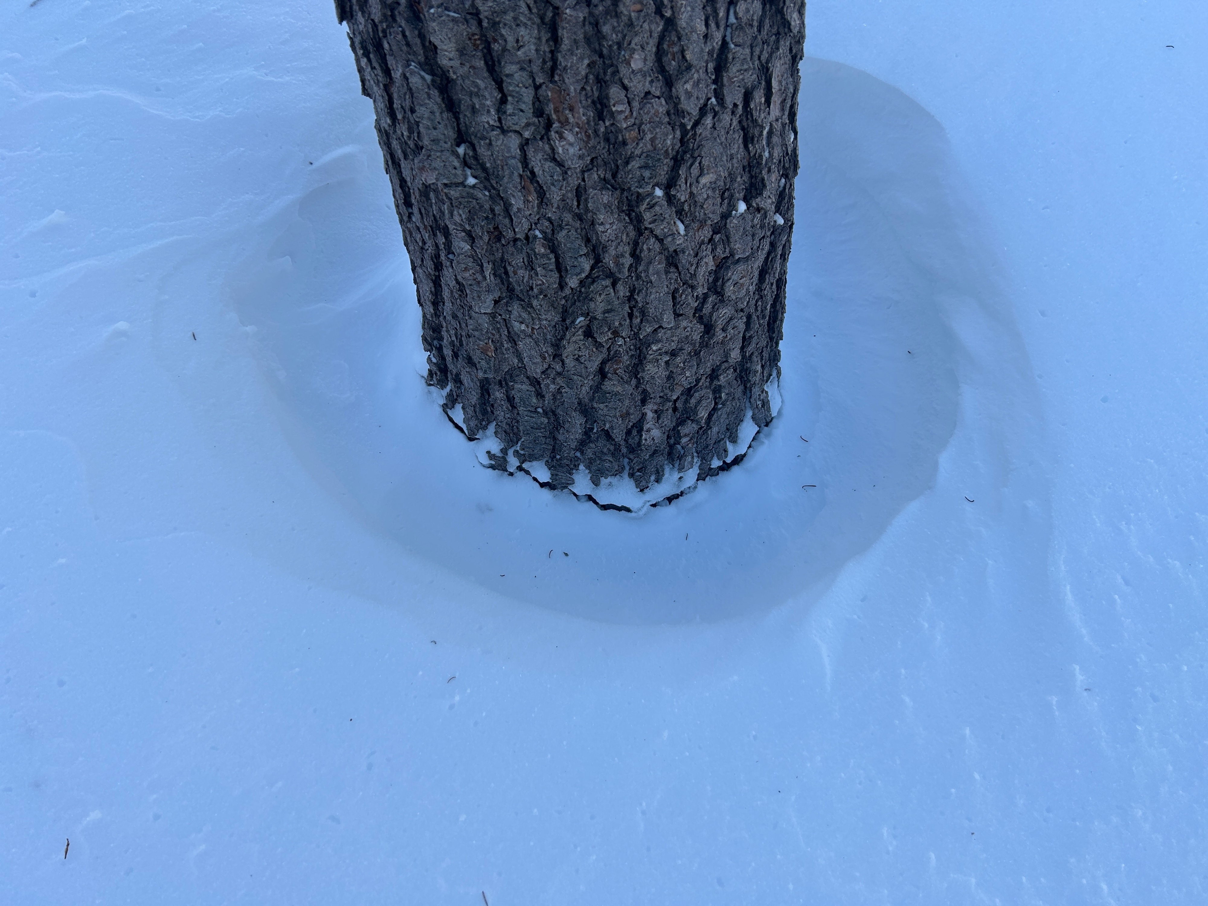
Recent northwest winds have left a light mark on the majority of snow surfaces. Some are only lightly textured and largely remain fresh and soft, while others have been hammered stiff. Large amounts of transportable snow will be present moving forward.
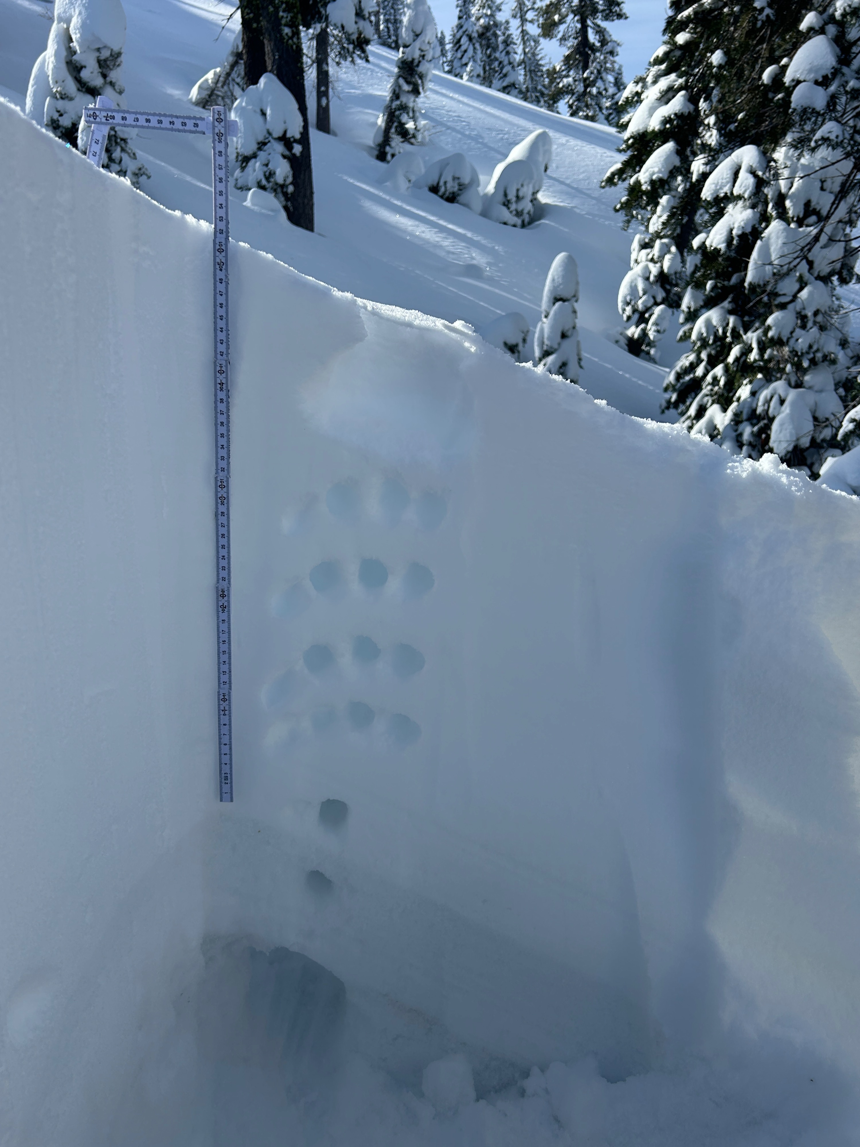
The graupel layer that was buried on February 14th was identified above the January crust (see photos). This layer has been identified on Mount Shasta and now at Castle Lake. Stability tests resulted in no propagation—ECTN. Although stubborn, hand pits and shovel shears found the layer unhappy and wanting to move. While there's been limited feedback on this layer, it’s worth keeping in the back of your mind if traveling in extreme terrain.
Recently formed wind slabs on east through south aspects near and below treeline remain the primary instability. In extreme terrain (slopes >40 degrees), it's possible to trigger a small to large avalanche.Weather
- Air Temp
- 30
- Cloud Cover
- few
- Wind Loading
- light
- Recent Snowfall
- 3.3
- Snow Avail For Transport
- large amounts
A clear and cool morning started the day off with light to moderate south and southeast winds. By afternoon, the incoming storm front had arrived and turned skies mostly cloudy with winds shifting to the southwest. Temperatures hung in the high 20s.