
Quick report
- Cracking
- isolated
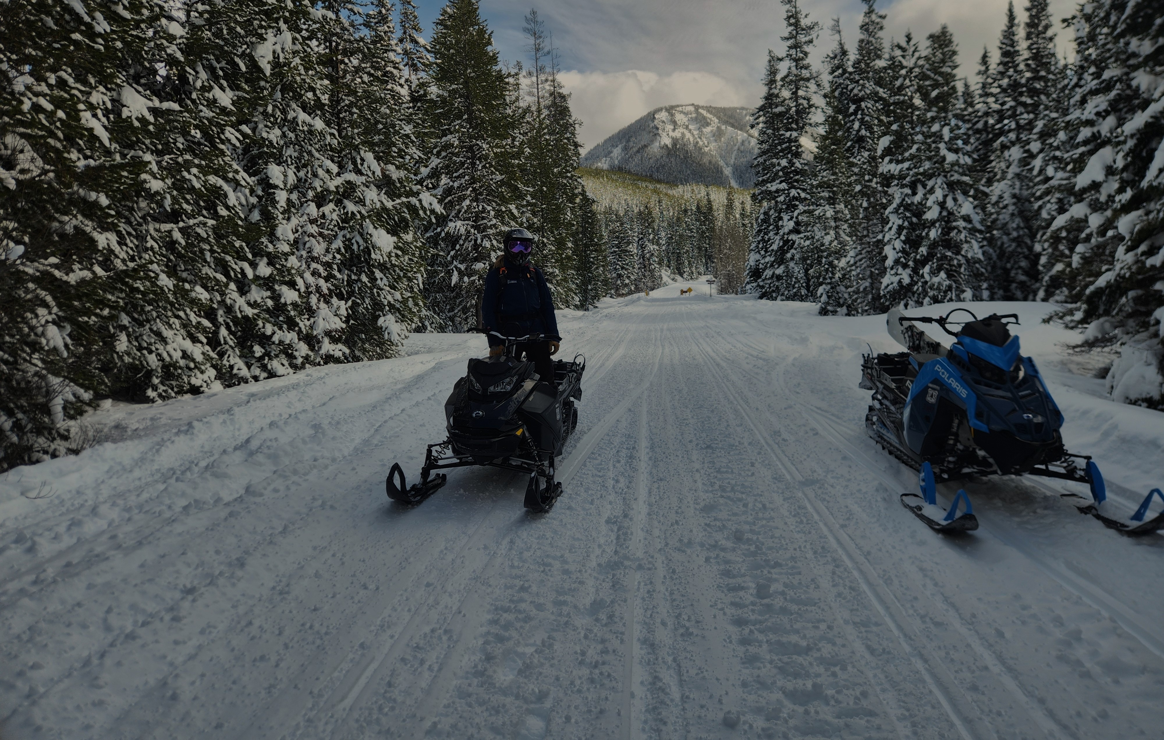
Today we explored near the end of the Skyland Road, traveling on west and northeast slopes from 6000-7700'.
Here's our takeways:
- The storm snow is fantastic. Generally right-side-up, with low-density snow in the upper foot resting on progressively harder snow down to the new/old interface (which has lots of big graupel!). No signs of instability. We gave wind-loaded slopes a wide margin.
- Storm totals since ~3/9 ranged from 12-18" at the trailhead up to about 36" at 7700'. There is a supportable interstorm layer (likely from the Wednesday night/Thursday AM warmup down about 12-18" above 6000'.
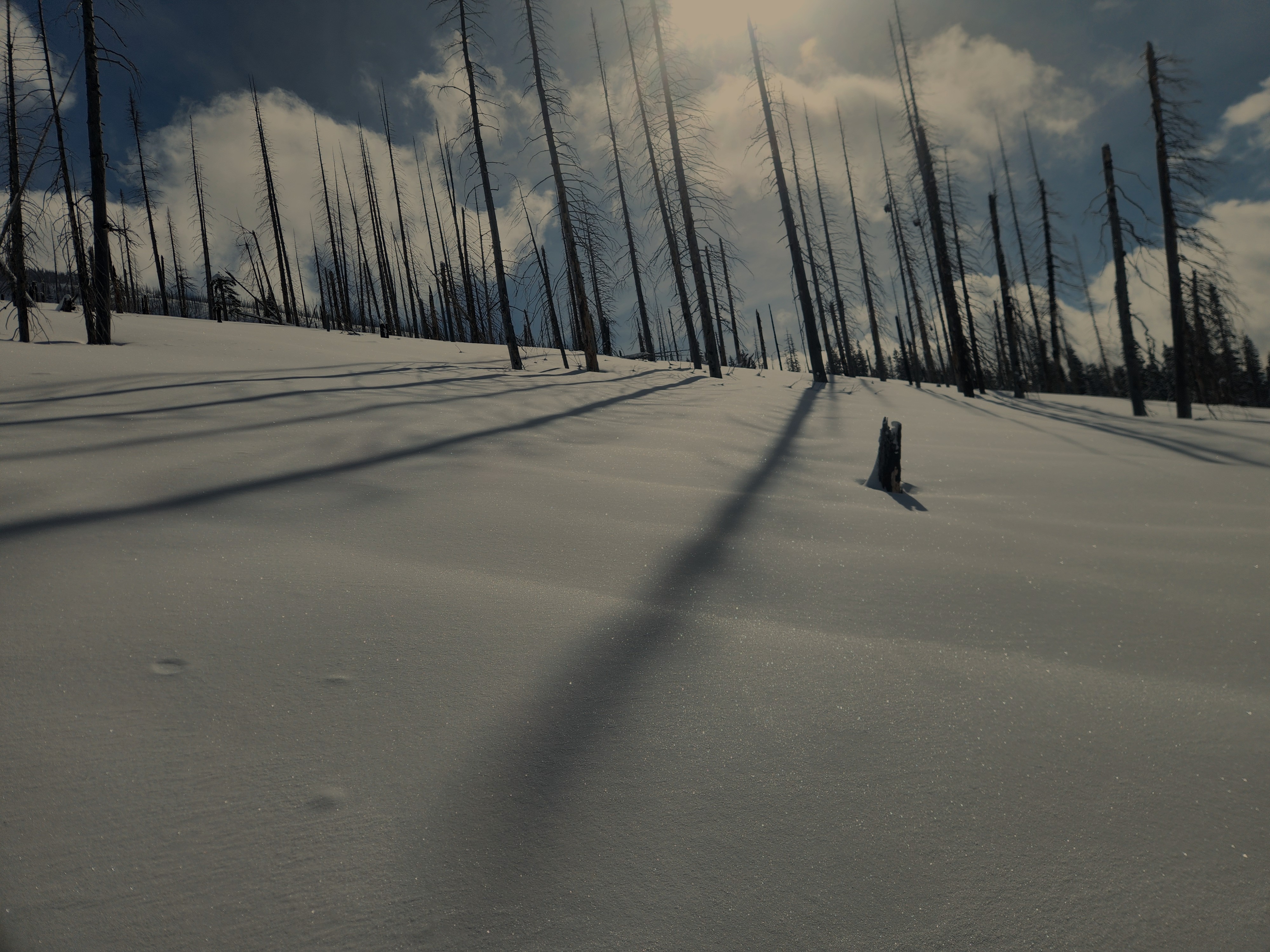
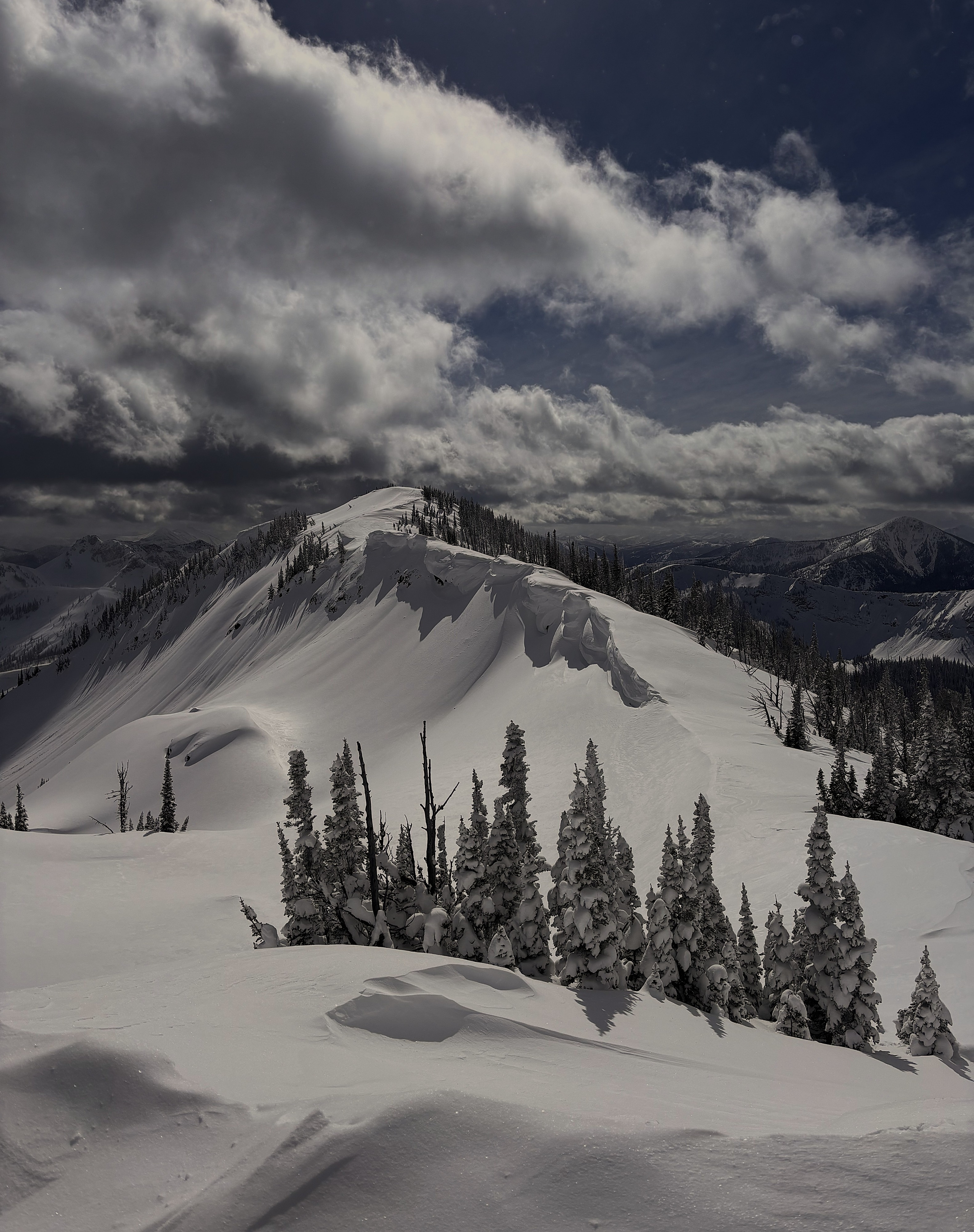
- There is evidence of strong westerly winds from earlier in the storm below the most recent snow, as well as signs of the more recent arctic winds from the north, especially in upper-elevation, exposed terrain. Moderate blowing snow at ridgeline today during gusts.
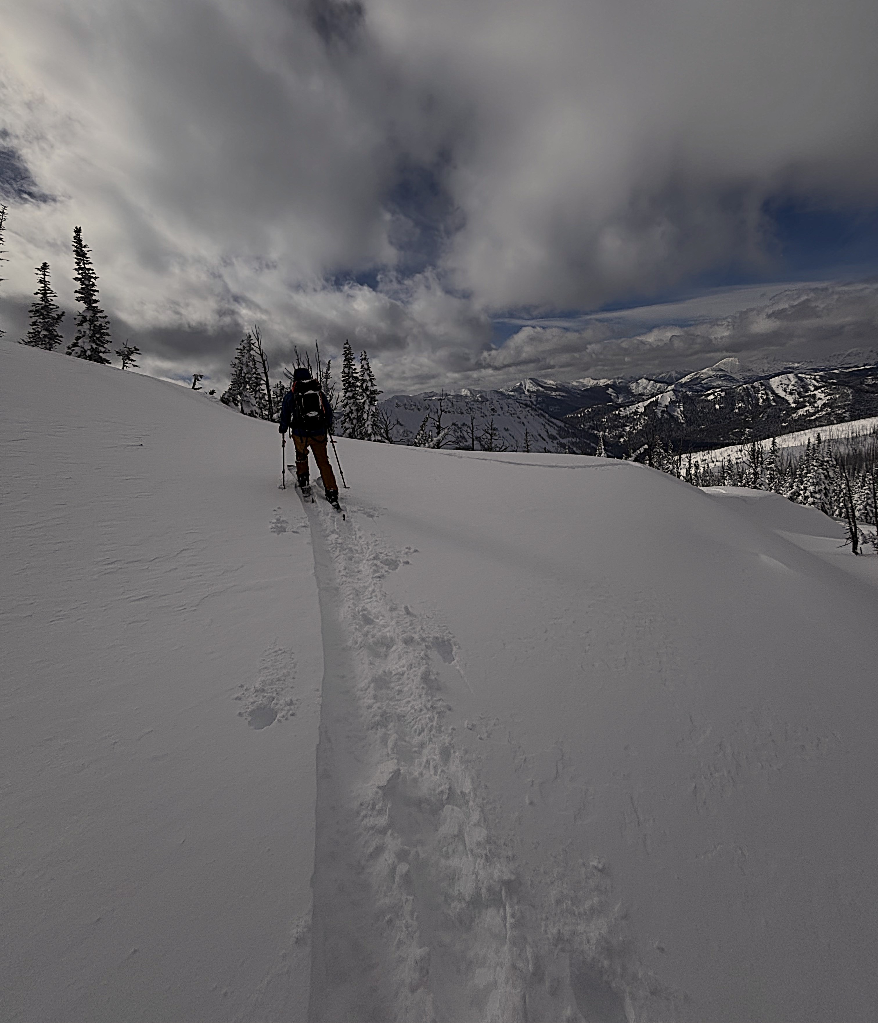
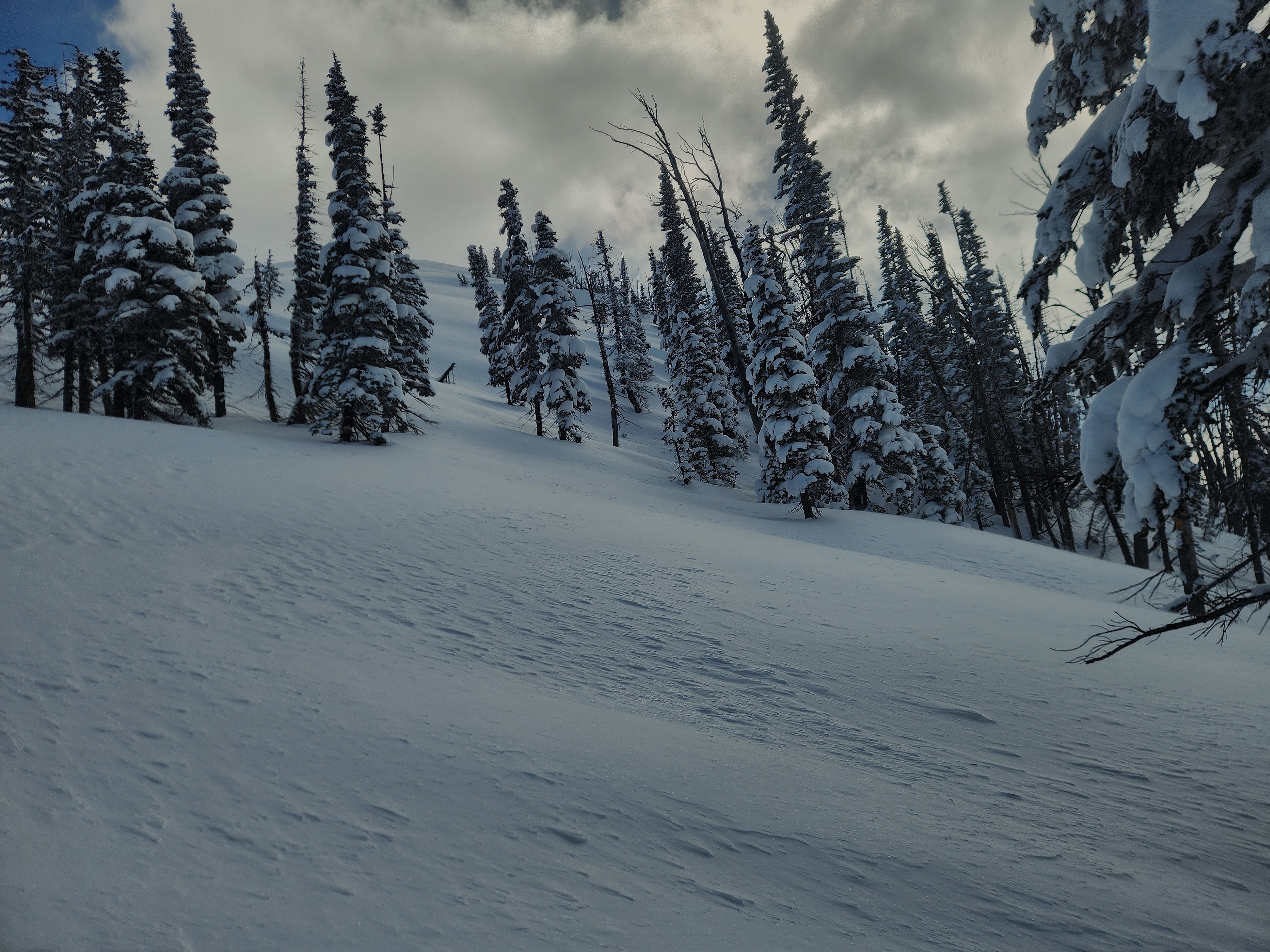
- We provoked some small wind-loaded pockets where we traveled, which only yielded isolated cracking a foot or two out from the skis. We did not travel anywhere that appeared to be nearly as wind-affected as what we could see on some of the big faces nearby.
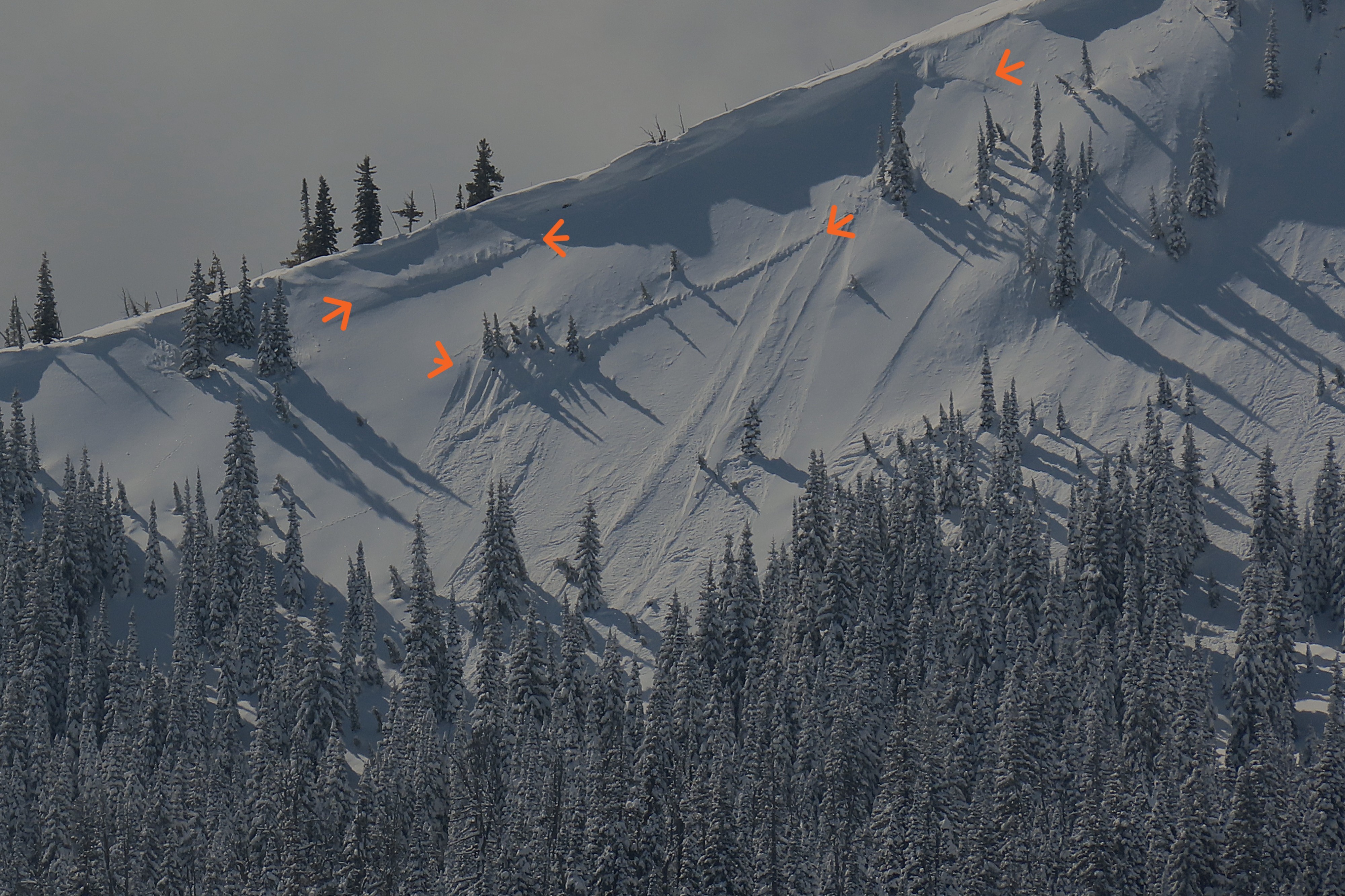
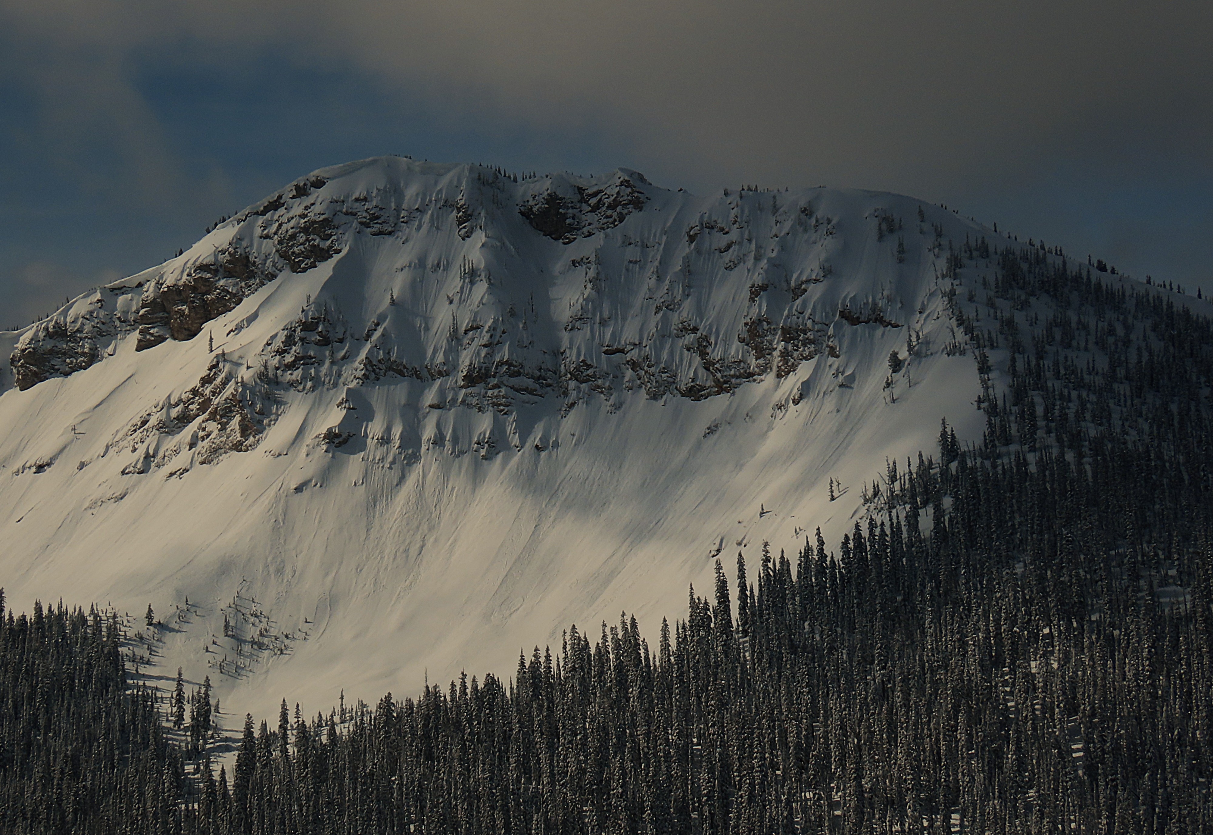
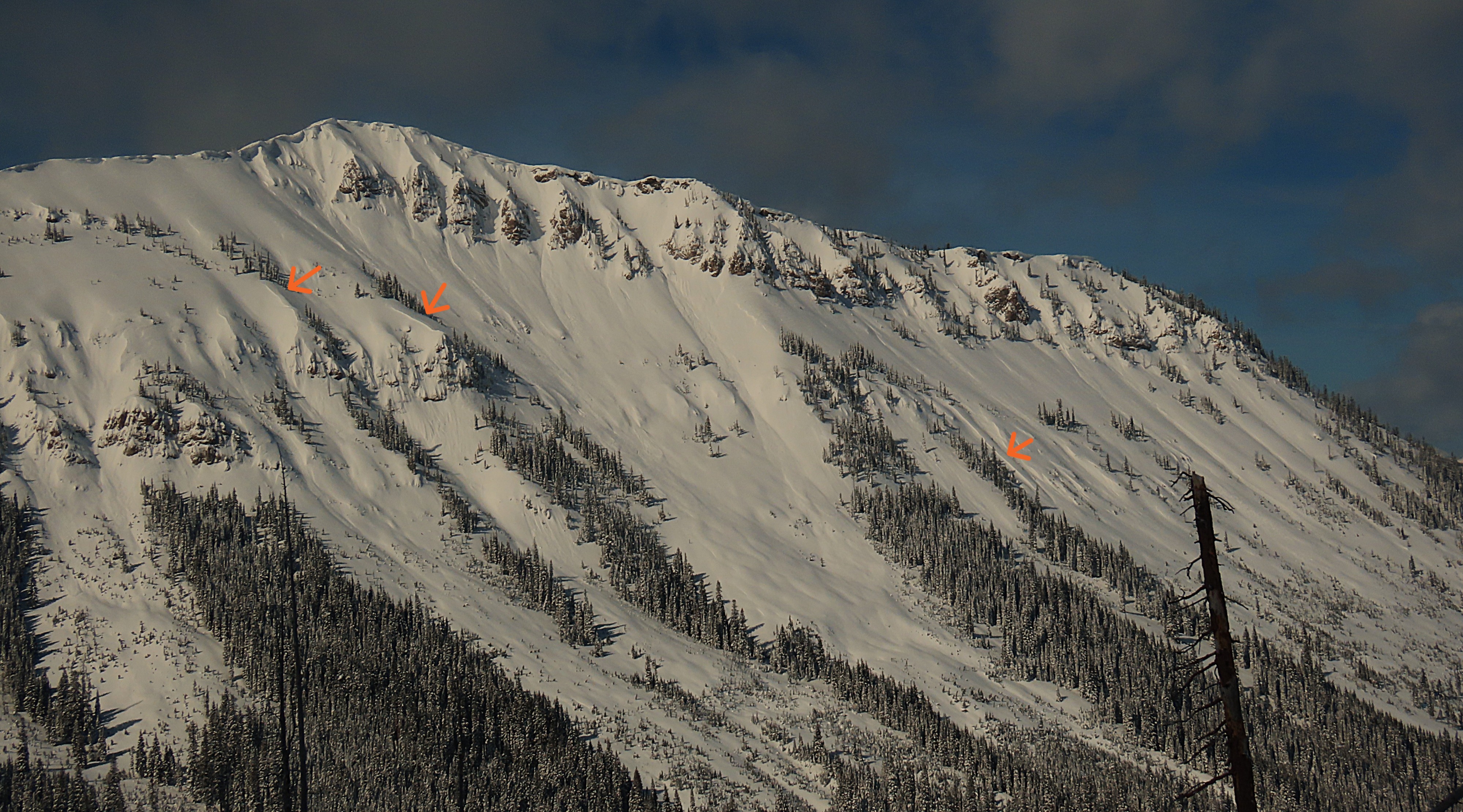
- We observed plenty of dry loose activity on the big faces of the Slippery Bills, but only one slab avalanche in the vicinity.
- We dug at a higher elevation than we have thus far this season, and were amazed to find an HS of 420 cm (nearly 14') on a northeast slope at 7700'! The JDL at this location was down 6'. It was still there, but not as menacing, and is being well guarded by a thick, stout slab over the top of it.
- The sun held off! We were worried the snow surface might warm, but the cloud cover provided a good shield, and the snow surface on w/sw slopes in this area stayed cool. Snow was still draped in the trees at all elevations, all the way down to the highway near Skyland.
We enjoyed the fantastic conditions on low-angle slopes facing northeast and west.
Cracking only a foot or two out from skis in wind-loaded pockets.Weather
- Air Temp
- Cold!
- Cloud Cover
- broken
- Wind Loading
- moderate
- Recent Snowfall
- 45-90
- Snow Avail For Transport
- moderate amounts
Breaks of sun, but mid-level cumulus built in throughout the day and kept any warming at bay. Ridgetop westerly winds were moderate, with occasional strong gusts.
Snowpack
Ski penetration in the upper elevations was about 12-18", down to a mid-storm warmup layer (likely Thursday night).
We dug two snow pits.
WNW aspect @7400' - HS 250, HST 45 - Right-side-up - Wind-scoured below the low-density upper 15 cm
ECTX - Fist for the upper 15 cm, then 1F down to Pencil. Graupel at the new/old interface. JDL was just a crust with no weak snow above or below, down 80 cm
NE aspect @7650' - HS 420, HST 90 - Right-side-up
ECTN23 down 60 cm on an interstorm layer (likely Thursday AM warmup)
Fist to 4F upper 35, then one finger to pencil to pencil plus. JDL down 180 cm, facets and surface hoar on crust, rounding and hardening.
Avalanche
- Size
- D1
- Type
- L
- Count
- 2
- Aspect
- E
- Trigger
- N
- Elevation
- 7400 ft
Numerous D1-D1.5 dry loose on the Slippery Bills. Only observed a few slab avalanches (1 larger or 3 seperate) on the shoulder of Slippery South. Also observed substantial debris on what I believe was the big east face of Cameahwait (seen through the windshield while driving near shed 10 on Route 2). It looked like it ran the full width of the bowl.