
Quick report
- Aspect
- Northwest
- Red Flags
- Recent Avalanches, Wind Loading, Poor Snowpack Structure
- Elevation
- 2865 m
- Red Flags Comment
- <p>The large avalanche in Two Dog, upper Days Fork, could be seen. No other similar avalanches seen, though resorts have gotten similar slides with avalanche reduction work. Wind loading was minor where I was, but could be more significant at higher elevations. </p>
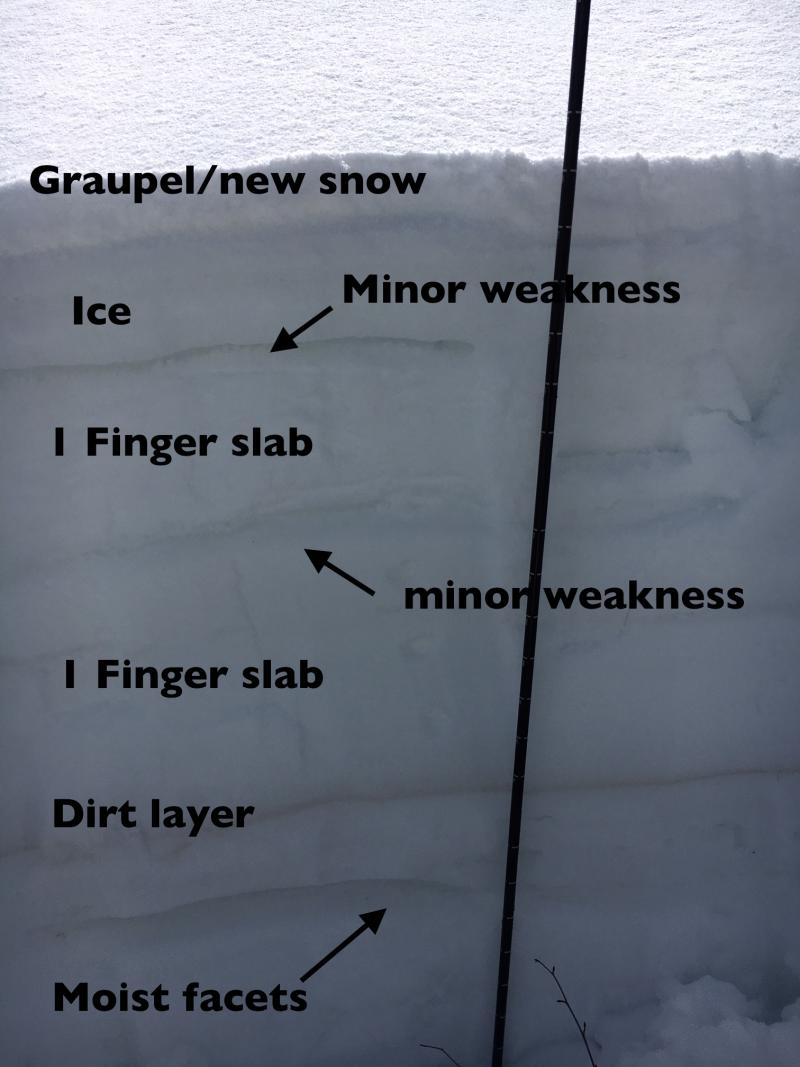
I had to use a snow saw to get through the upper layer ice layer. General feeling of a cooling and strengthening snow pack between this pit and other quick pits.
Below - the supportable ice layer, 9400'.
1st photo: westerly facing slope, scoured to icy rain crust
2nd photo: ice on tree, 9800', indicative of the high rain/snow line Thursday into Friday am.
3rd photo: super smooth surfaces - it will be really nice to have the smooth surface under our next shot of snow.
Great cloud day.
Snowpack
- Instability Comment
- <p>My greatest concern would be upper elevation north through easterly, shallow snow pack areas, and those that are steep and rocky, heavily wind loaded or have slide one or more times this year. The faceted weak layers are more deeply buried, but still a concern in isolated places.</p> <p>Seems like it's over for now. I'm surprised, but a single overnight refreeze, and the wet snow froze into a 2 to 5" thick very hard ice crust. Very supportable, and very strong. Some moist to possibly wet snow layers deeper in the snowpack, but I would think those layers would be very hard to trigger now. And with another 3 days of cold, below freezing temperatures in the forecast, any moist layers will continue to cool and strengthen.</p>
Spring conditions, with an excellent overnight refreeze. Was surprised to find a rock hard, supportable snow surface a 7,400' with a late-ish start. While it later nicely softened, it was still fully supportable at the lower elevations. All aspects and elevations I traveled were supportable, and slow to soften today due to clouds and wind. West facing slopes were the iciest, and probably never softened due to the incoming clouds. It was basically a spring corn day, with some softening on sunny aspects and a shallow layer of soft powder/graupel on mid and upper elevation northerly.
Snow on northerly facing slopes seemed loose and slightly faceted.
Could have used ski crampons, so ended up booting one section. With cooling temperatures for the next 3 days, expect widespread hard snow surfaces, and ski crampons, whippets, ice axes and crampons may be important depending on your project.