
Quick report
- Cooler temps this morning and early afternoon with obscured skies at mid and upper elevations suprised us as we had suspected most aspects would be warmed by mid-morning.
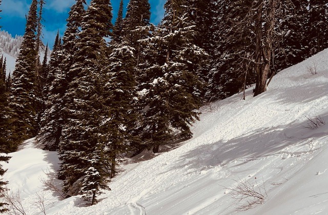
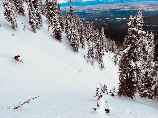
- Slopes above 5000' on NW-N aspects prior to temps warming had settled powder
- Observed very large cornices on NE and E aspects hanging over Wildcat Lake
- Called it a day as the clouds moved out and temps increased above freezing up to 6800'
- Felt comfortable stepping out into bigger terrain with no sign of PS problem and quality safe zones to keep an eye on partners.
Weather
- Air Temp
- 25
- Cloud Cover
- broken
- Wind Loading
- none
- Rain Elevation
- n/a
- Recent Snowfall
- 5
- Snow Avail For Transport
- small smounts
overcast till about 1430, then mostly cloudy. Sun arrived around 1500 and temps began to rise above freezing. freezing line was at vehicle in the AM, but was over 6k by mid afternoon. trace of snow fell from the sky around noon.
Snowpack
- hard refreeze overnight below 4500'
- found thin sun crust on SW-W aspects above 5k
- dry snow above 5500' on NW-NE aspects
- no signs of recent drifting snow
- large cornices along ridgeline overlooking Wildcat Lake.
Avalanche
- Size
- D1 R1
- Type
- WL
- Count
- 3
- Aspect
- W
- Trigger
- N
- Elevation
- 5800 ft
Plenty of wet loose activity from yesterday afternoon in the drainage.