
Quick report
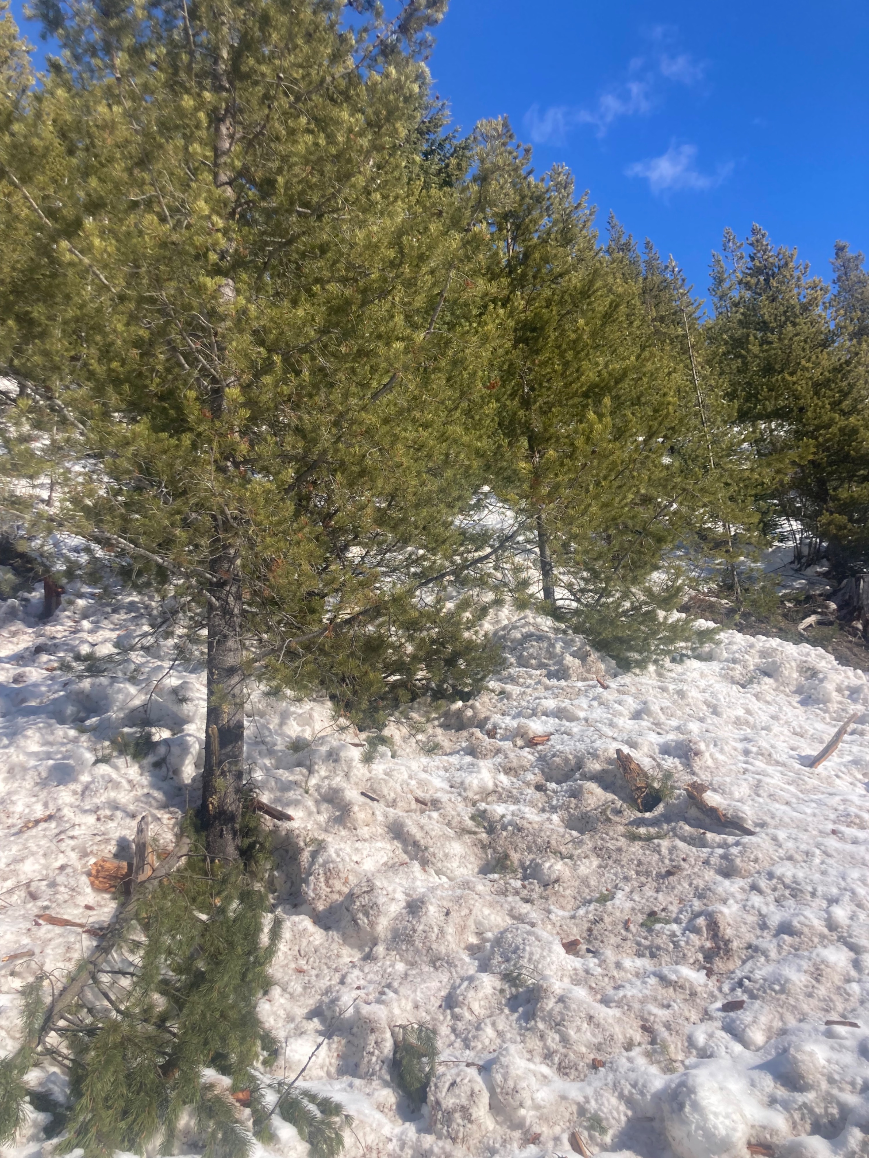
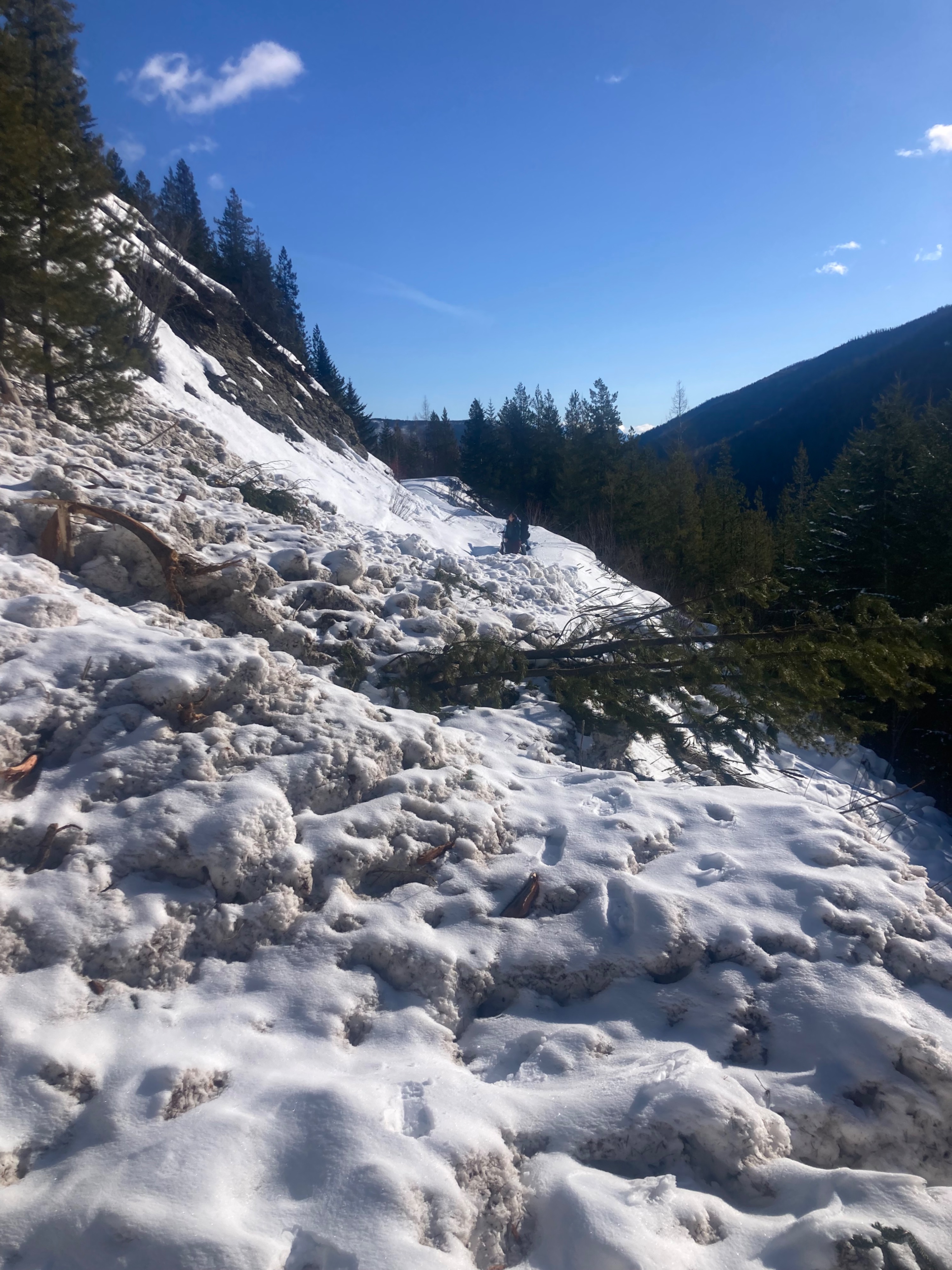
We had to chisel our way through rock hard loose wet debris, but we were rewarded with great views and pleasant riding.
- Found winter-like conditions at ~5200'.
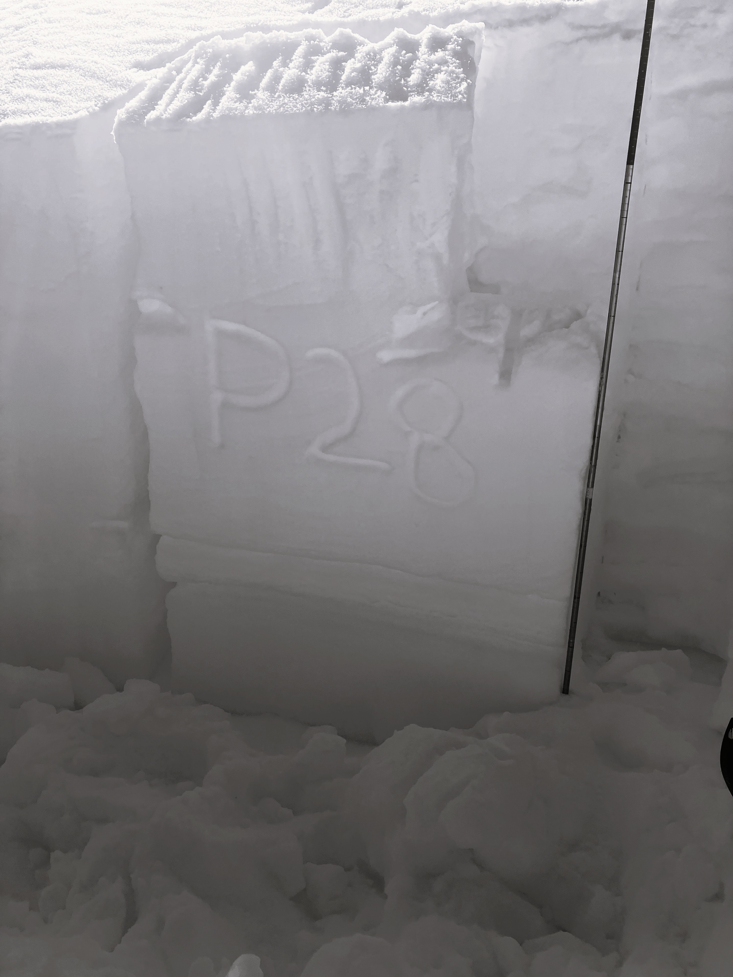
- Cool, dry snowpack on N and E slopes including a weak layer that propagated in repeat tests.
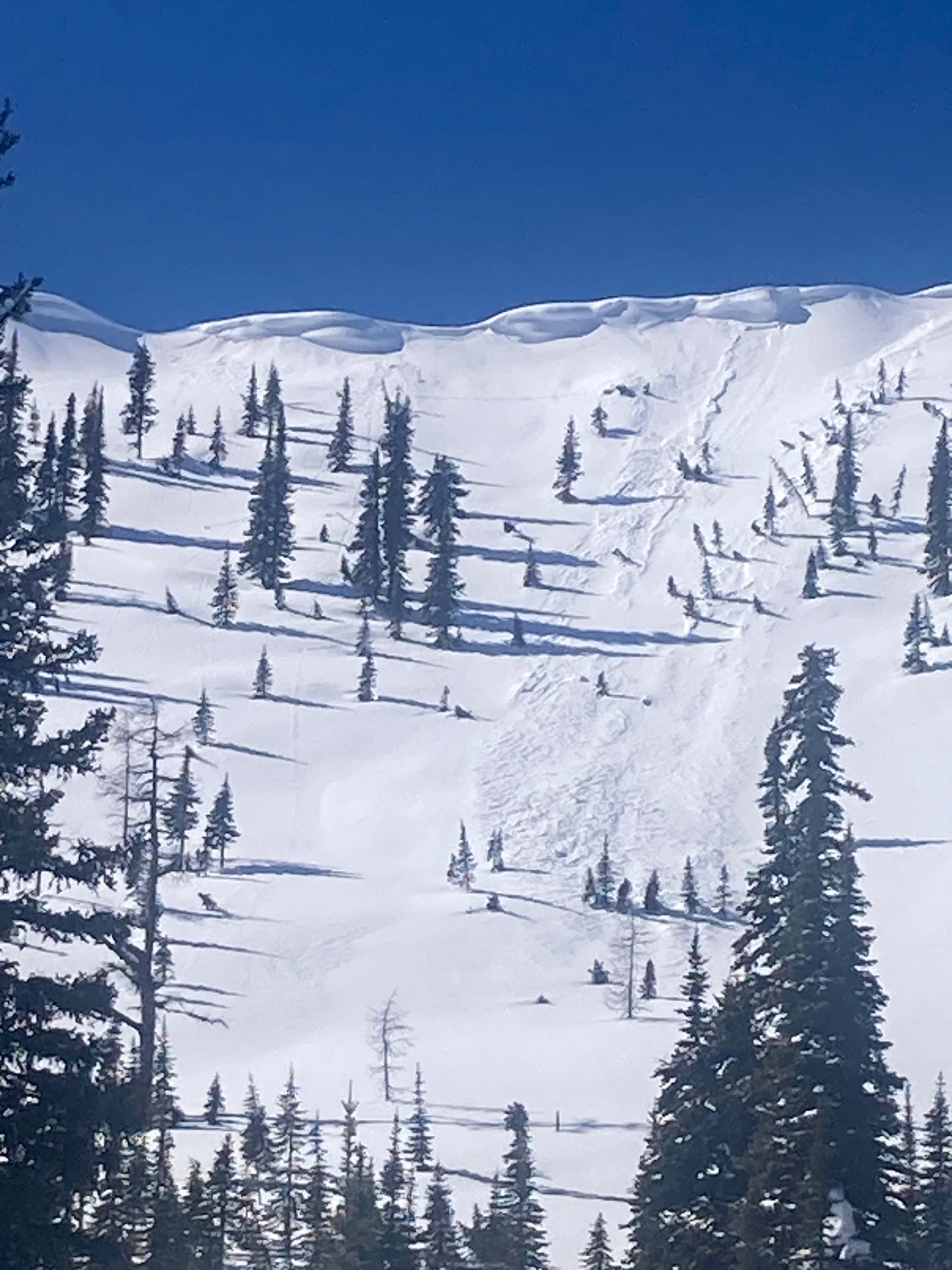
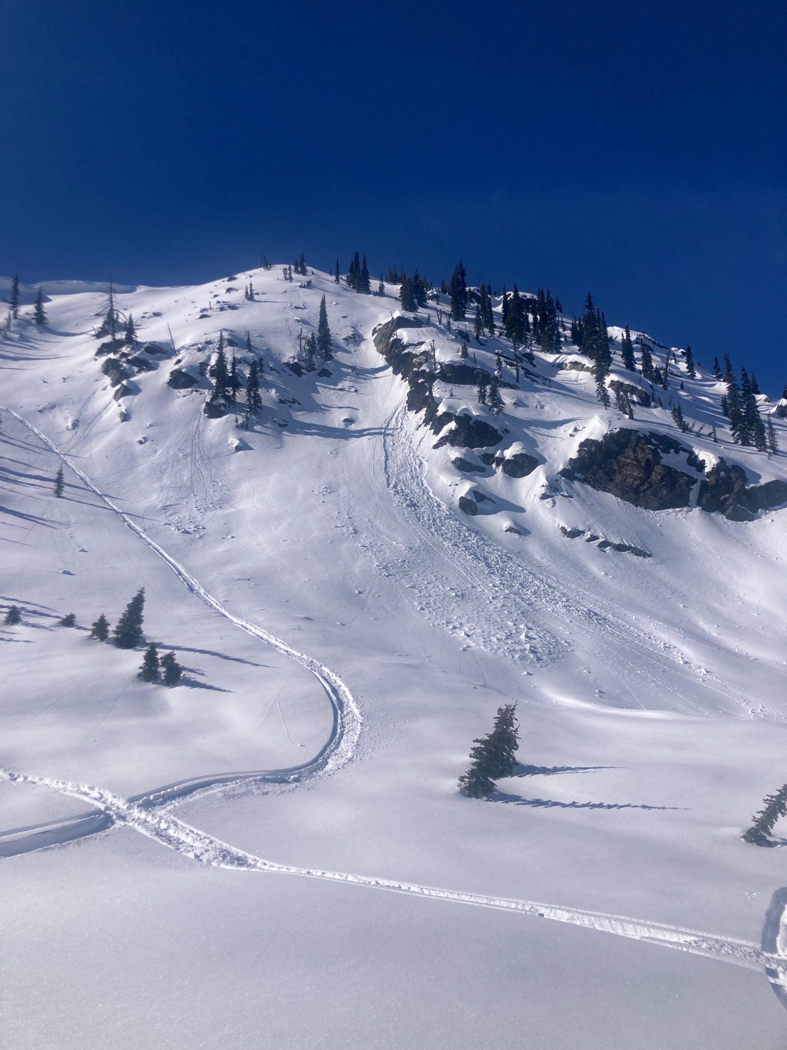
- Small loose wet avalanches from today/yesterday, but ample snow from this week's storm still left to slide on all aspects.
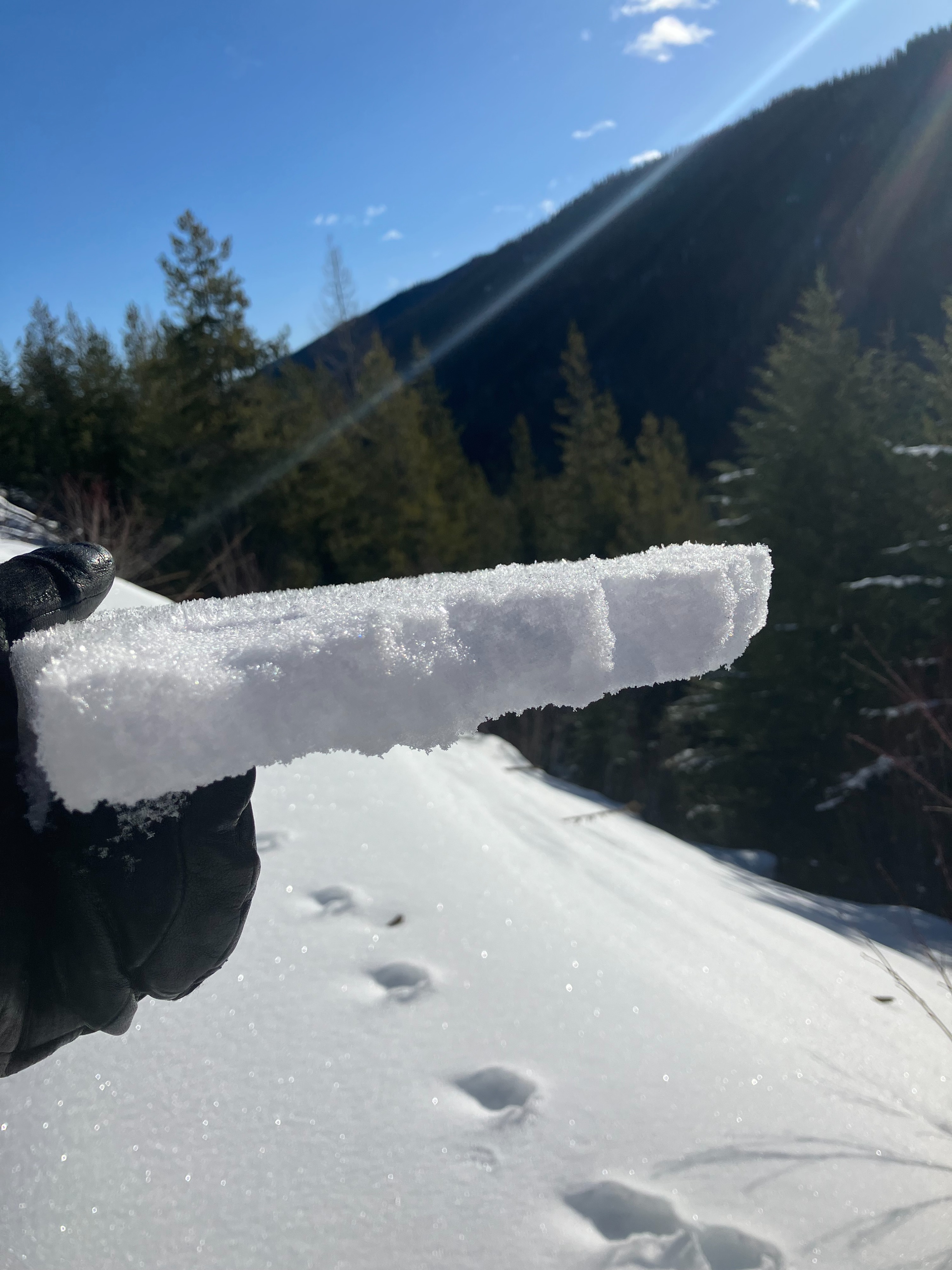
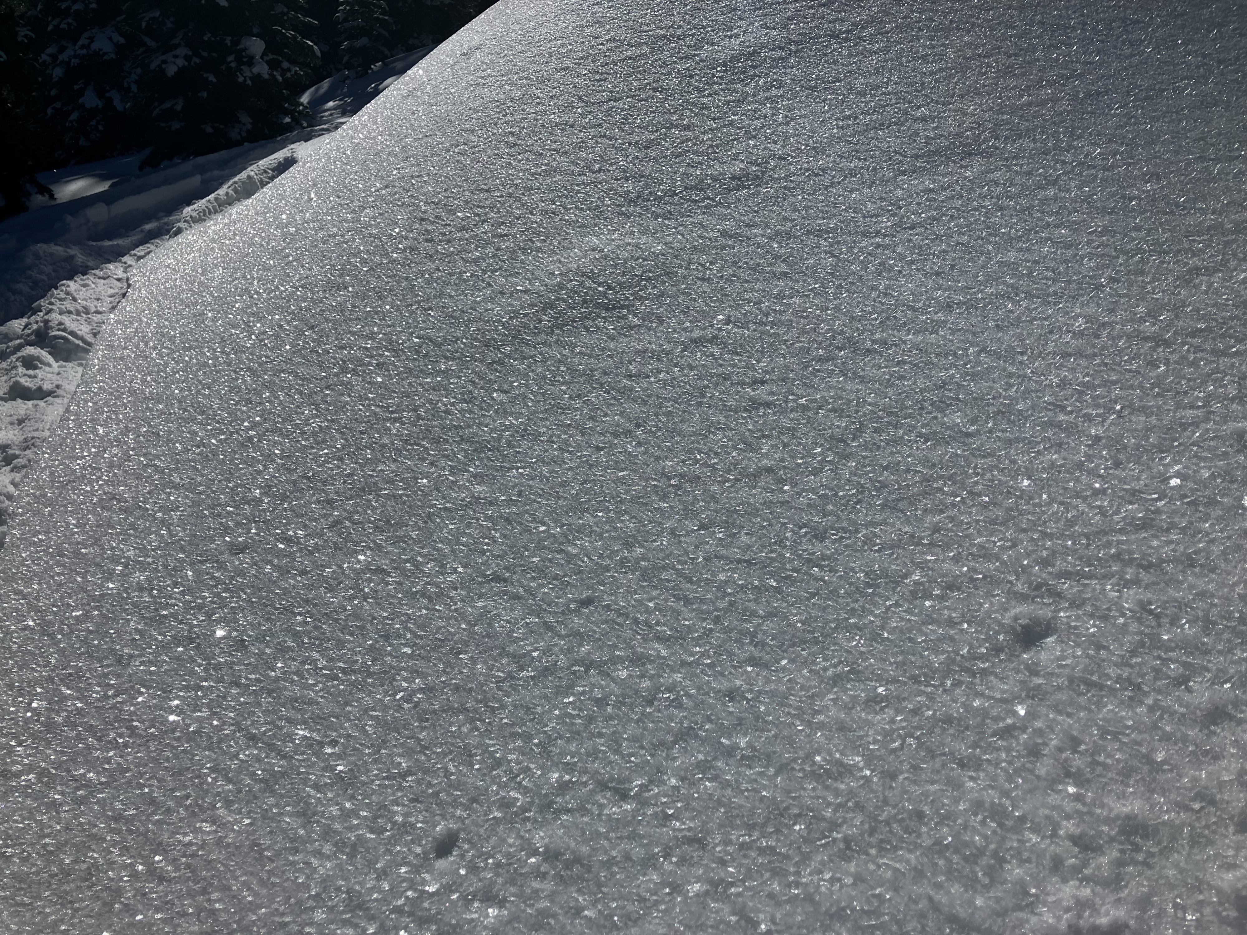
- Fresh surface hoar was destroyed on slopes exposed to sun and wind. Surface snow on S and SE slopes transitioned from dry to wet in the afternoon.
- Small natural soft slabs on wind loaded slopes probably occured during the last two days. Light wind transport throughout the day on exposed upper-elevation slopes.
We skied one at a time on steep slopes capable of producing large avalanches.
Small loose wet from today and yesterday on southerly slopes. Small natural soft slabs on windloaded slopes likely occured 3/5-3/6.Weather
- Air Temp
- 30
- Cloud Cover
- few
- Wind Loading
- light
- Recent Snowfall
- 12
- Snow Avail For Transport
- moderate amounts
Warming from solar radiation throughout the day with light, westerly winds with moderate gusting while on ridgelines.
Snowpack
@ 7000' NE
- HS=220cm
- ECTN16 x 2 down 35 cm
- ECTP28 and ECTP24 down 90cm on facets
- 6" soft snow on top of a thin crust from last week, on top of a 3' 1F slab (consolidated by wind in our location), on top of 4F+ rouding facets (Grain size up to 3mm)
Avalanche
- Size
- D2 R2
- Count
- 6
- Aspect
- E
- Trigger
- N
- Elevation
- 6800 ft
6 x Loose wet avalanches, size 1-1.5 from today and yesterday on Southerly slopes in steep, rocky terrain. 10 x Loose wet size 1-2.5 from last weekends warming on S slopes. 3 x soft wind slabs up to D1.5. Spotted a couple potentail crowns on N and E from the AR, but they were very filled in.