
Quick report
- Cracking
- isolated
Temps didn't get above freezing so loose wet problem never materialized today, unlike yesterday afternoon. Winds reached moderate speeds out of the W-SW although they were only predicted to be low. Minimal snow was transporting, because it has moved around the past few days at NTL and above. Small wind slabs have formed around larger terrain features and could be triggered with the weight of a person. Widespread SH throughout NTL elevation band was protected from moderate winds during the day. small pockets of reactive wind slabs above tree line around rock outcroppings and larger terrain features.
Weather
- Air Temp
- 20
- Cloud Cover
- scattered
- Wind Loading
- light
- Rain Elevation
- n/a
- Recent Snowfall
- 0
- Snow Avail For Transport
- small smounts
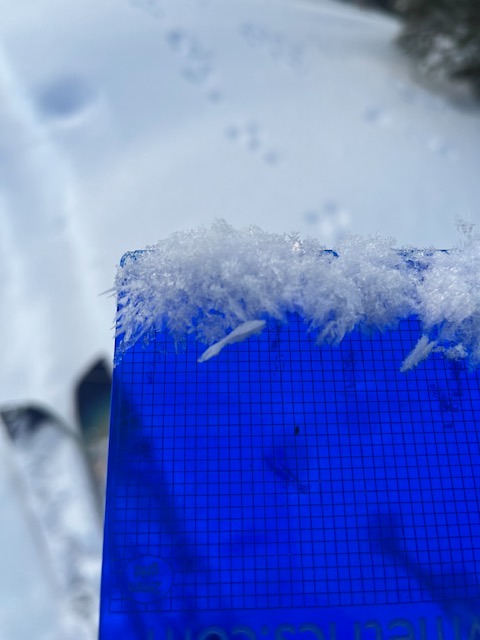
clear overnight skies left SH on all aspects that I traveled on BTL and NTL. Winds were moderate out of the W-SW, slightly more than had been predicted last night. Cloud cover varied between scattered and broken until late in the afternoon.
Snowpack
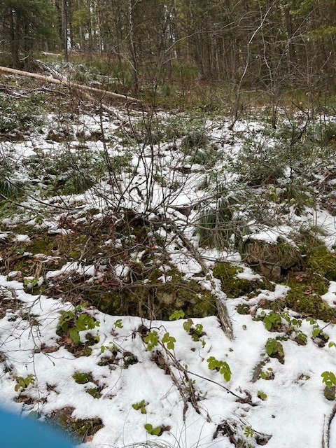
BTL: minimal snow coverage below 5800', no hazards other than walking downhill in ski boots NTL: Found 2-4mm SH in treed areas and protected ridgelines on SW and W faces ATL: snowpack depths varied based on terrain features. 7 cm on wind scoured faces to 75 cm in protected gullies.
Avalanche
- Size
- D1.5 R1
- Type
- WL
- Aspect
- SW
- Trigger
- N
- Elevation
- 7000 ft
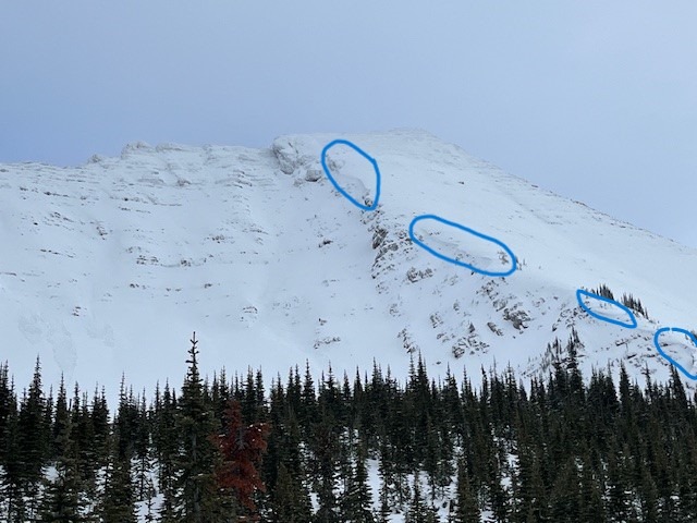
only avalanches observed were from afternoon of 1/2, all other debris piles have been buried under new or transported snow from earlier in the week.