
Quick report
Overall surfaces were firm, making for fast travel- albeit long breaks were required to cool sleds. Snow stability was very good, but old wet avalanches were present from last week. Seeing the sun was a welcome change after the lengthy stretch of rain.
Weather
- Cloud Cover
- few
- Wind Loading
- none
- Rain Elevation
- 4700
- Recent Snowfall
- 5
- Snow Avail For Transport
- small smounts
Calm. Air temperature at 1300hrs @ 4800ft on a north-facing slope was 1°C. Meanwhile, the snow surface temperature was -5°C New snow/snowline was from Feb 2.
Snowpack
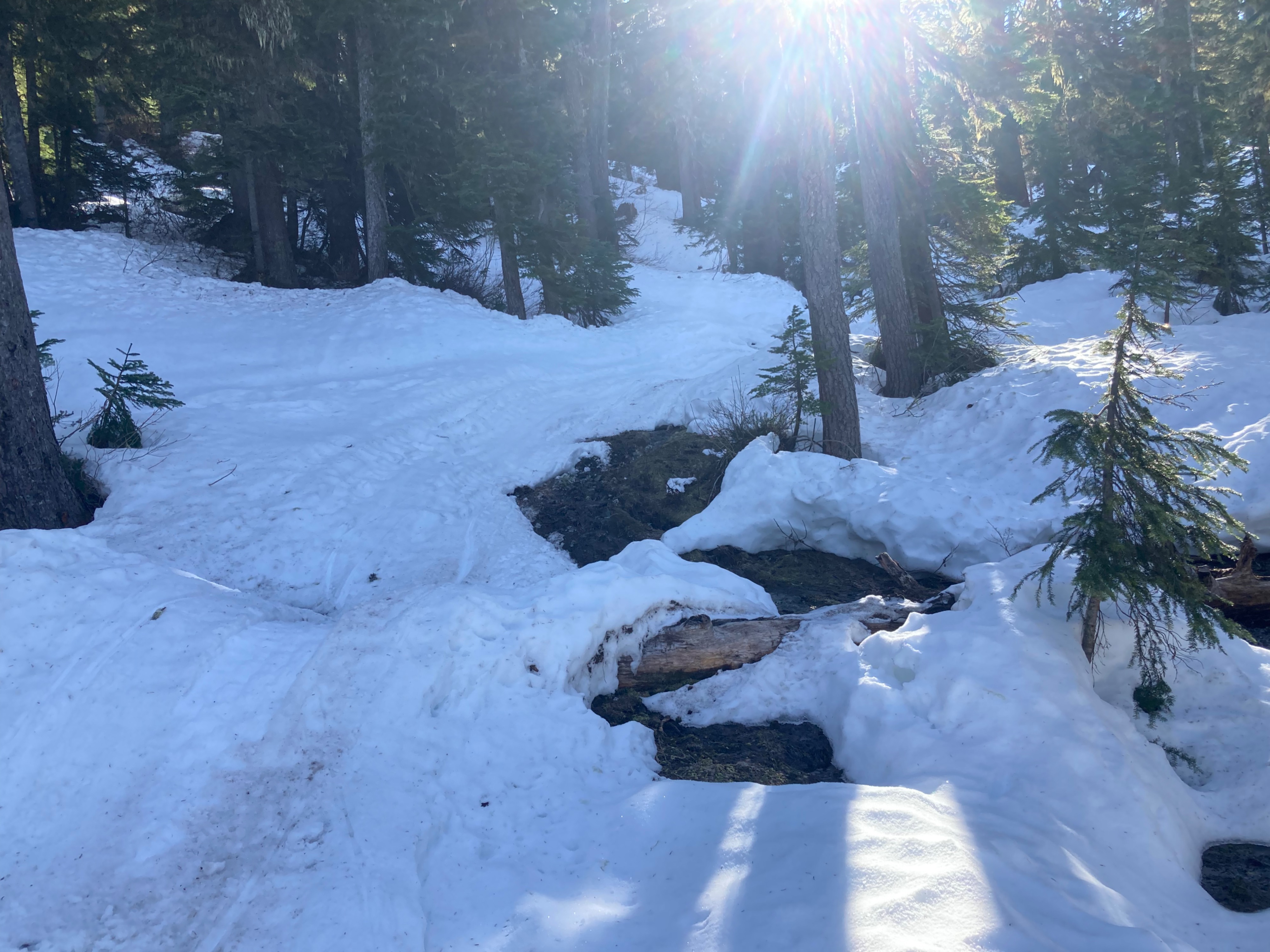
Snow heights ranged from 1 1/2ft in flat openings at 3800ft to 3ft at 4500ft and about 5ft at 5000ft. This all varied extensively depending on aspect. Treed areas, even at 5000ft on a south aspect, had patchy snow cover at best (photo).
A stout crust, about a foot thick, capped a moist snowpack. The crust was edgeable on skis, and I didn't need to use ski crampons while skinning. All surfaces were textured- in the trees surfaces were more bumpy, but only subtly bumpy and not unpleasant for skiing in open areas.
Snowline from the tail end of last week's massive storm, as it cooled, was about 4800ft. Above 5000ft, 1-2" of new snow was present. The new snow remained cold and dry on the northerly half of the compass, and I traveled down a west-facing slope at 2pm and the surface layer was just barely moist. On all slopes I traveled, I investigated the new snow layer and found surface hoar on the surface, and near-surface faceting, which I suspect was the highly uncommon melt-layer recrystallization from a cool layer of snow falling on the formerly wet, warm snowpack. The entire new snow layer was faceted.
Avalanche
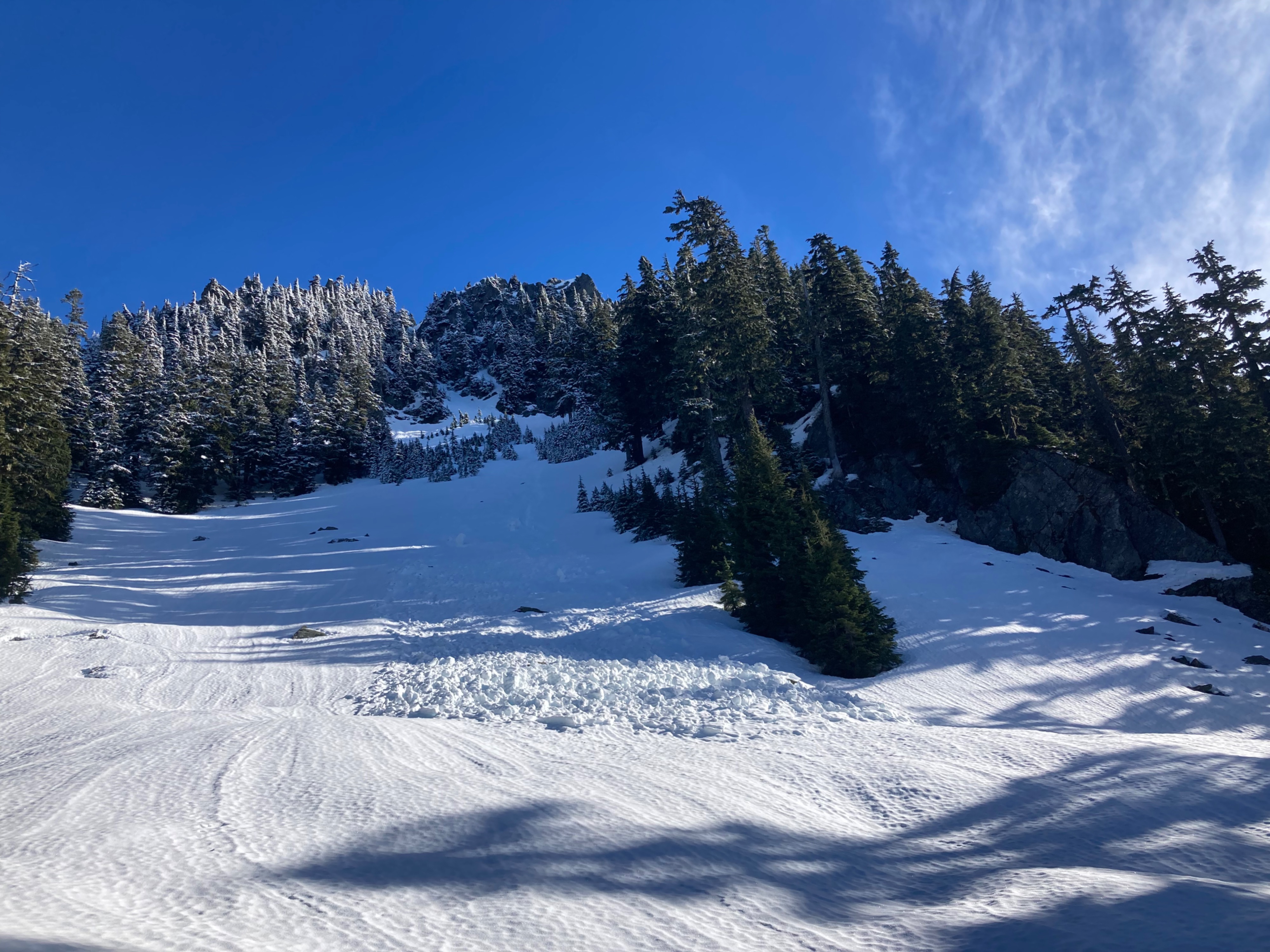
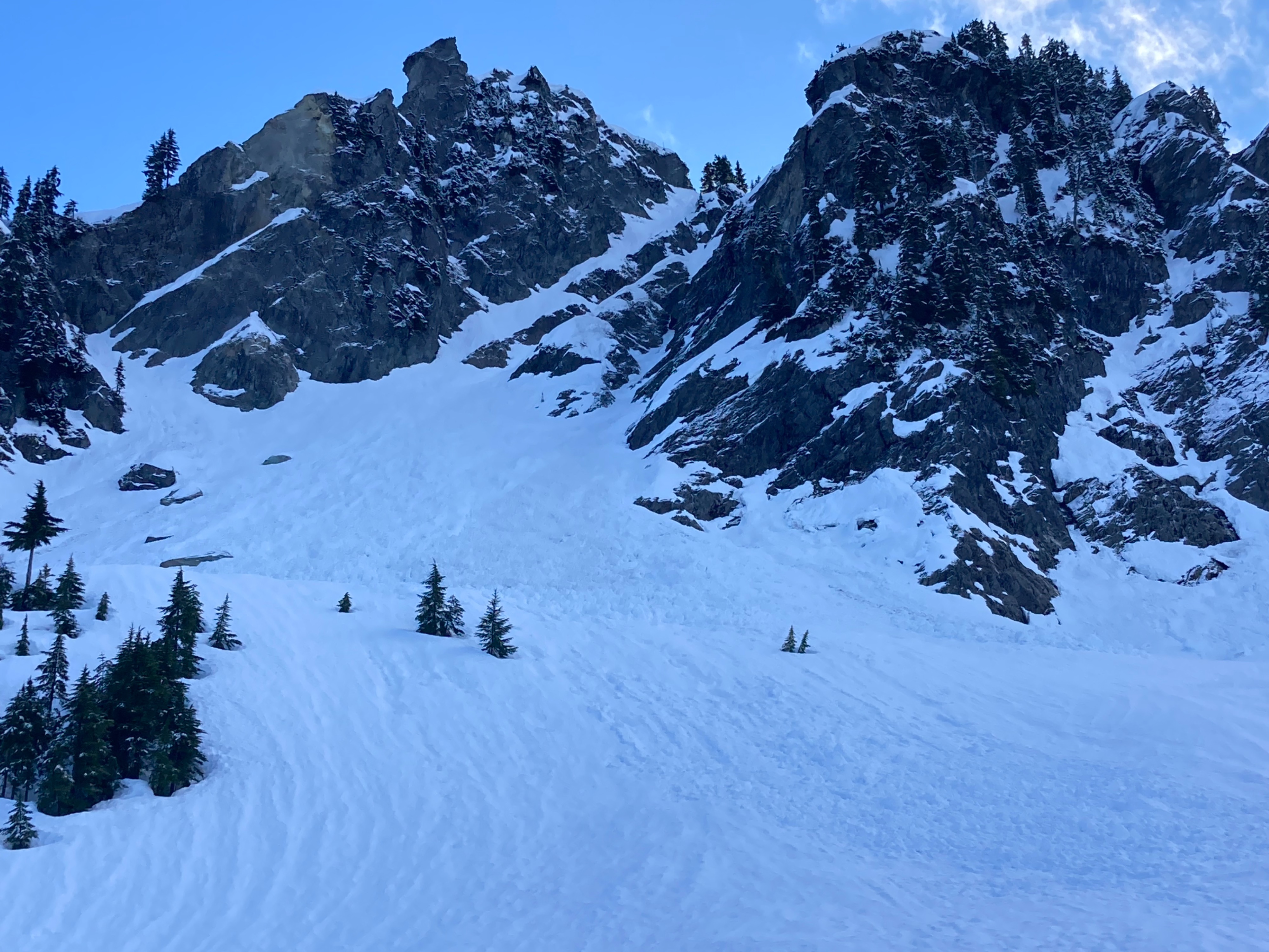
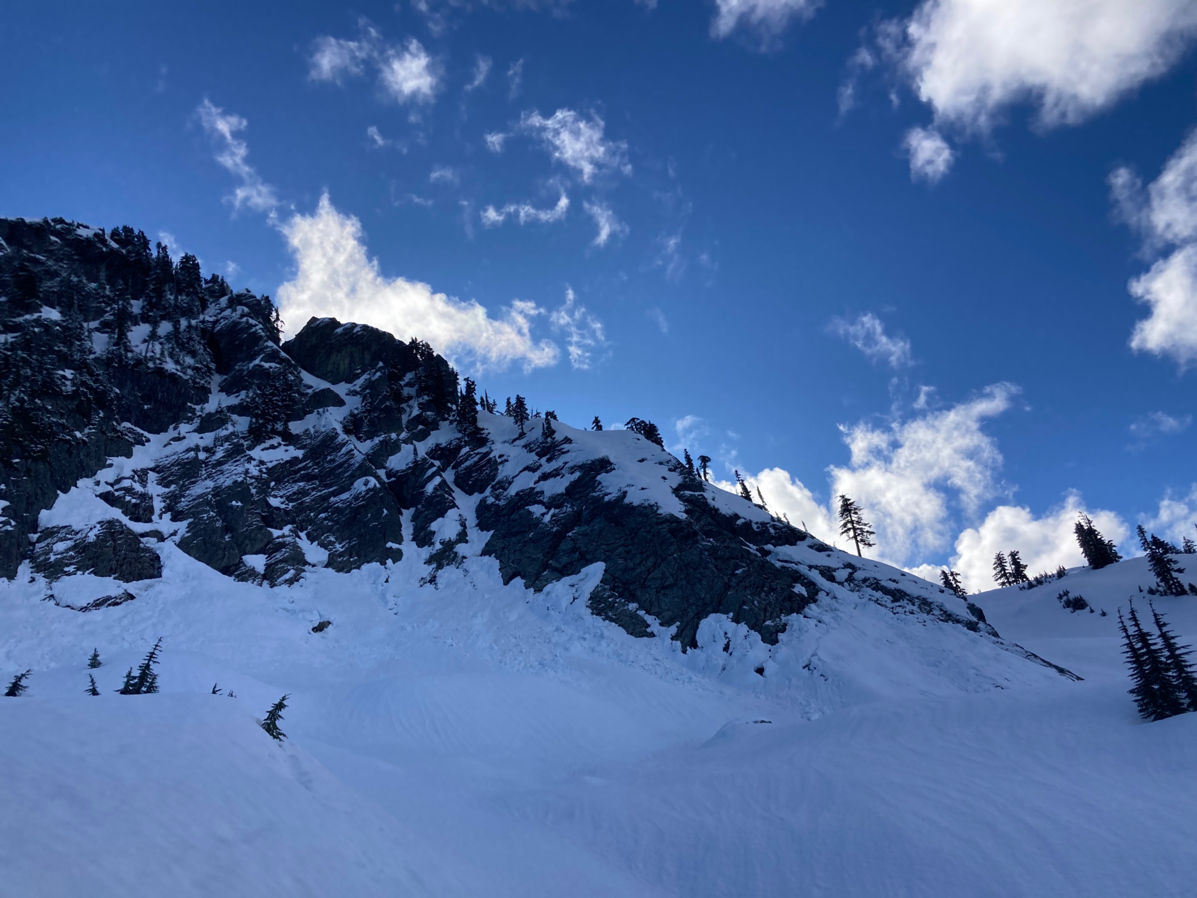
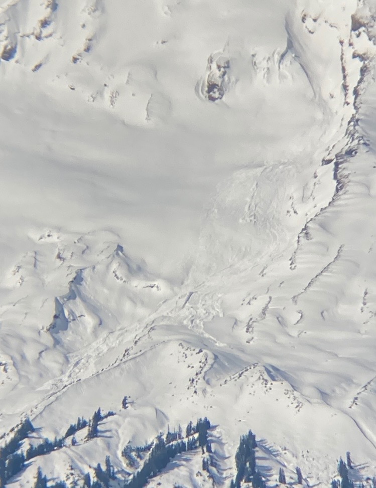
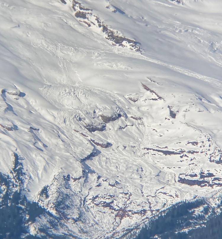
No new avalanches were noted. Several old D1.5-D2.5 wet loose and glide avalanches were visible where I traveled, likely from around 1/27.