
Quick report
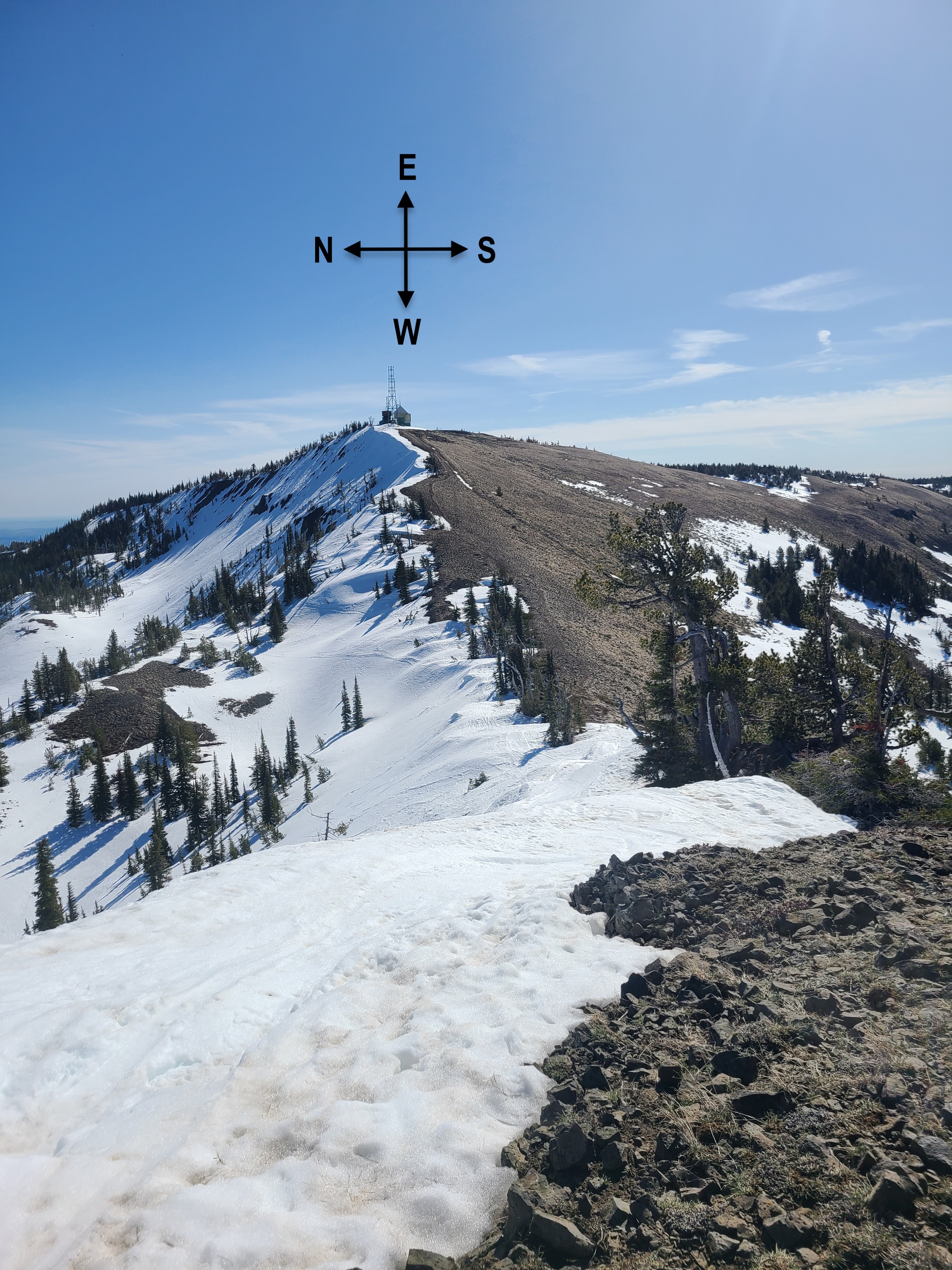
After a couple of field days with long approaches, I decided to jump on a chairlift to access upper elevations, which was still an excellent option this time of year. We went out toward Microwave to see how the snow was holding up to the warm temperatures and if it had transitioned to consistent melt forms or if there were still lingering layers of concern in the snowpack. We found a relatively uniform snowpack of melt forms with the upper 10-20cm wet and unsupportable. Even these high-elevation north aspects have transitioned to a spring snowpack, at least in the Wenatchee Mountains.
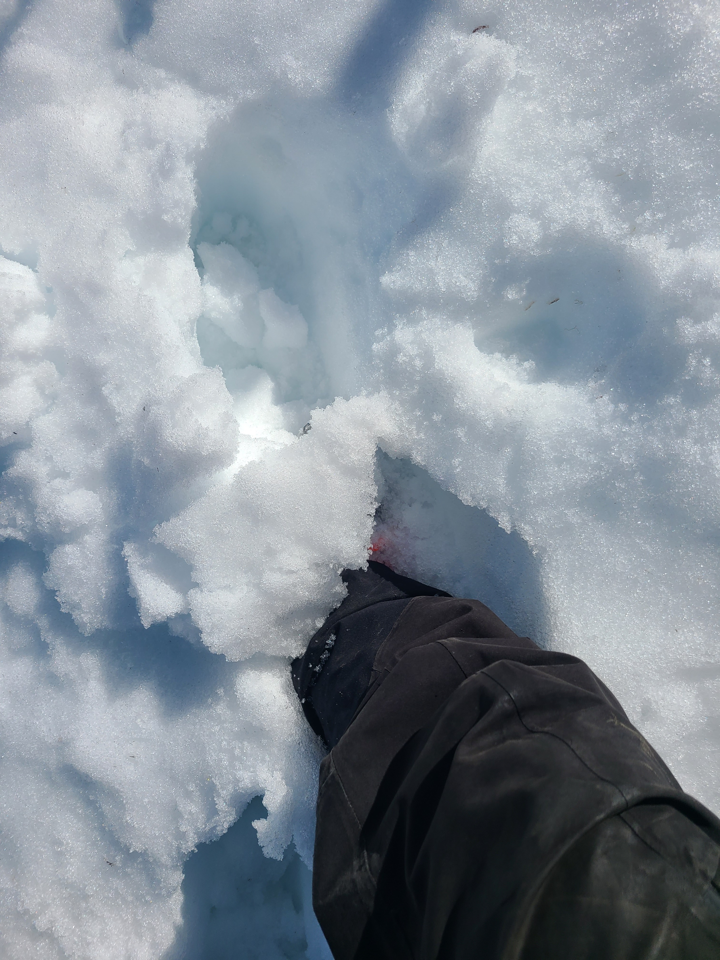
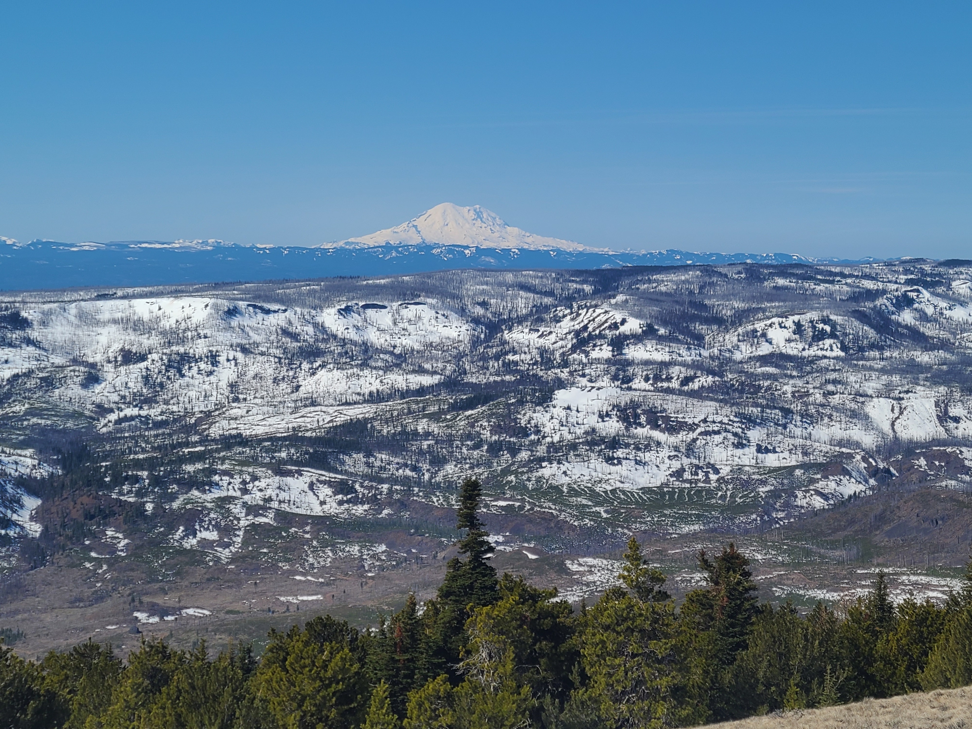
In some high-elevation shady areas, the snow was frozen and icy at 10am. But the snow was quite wet and manky on any slopes the sun had already hit. You'd sink just below your knees, walking around in boots. I couldn't see any recent natural wet loose avalanches, but the snow was beginning to become easy to push and get to slide downhill. You could have triggered some wet loose avalanches on steep slopes that would run 10-20cm deep. Cornices along the ridge had melted back significantly, and from what I could see through my scope, conditions looked similar out near Owl Creek in the Blewett Pass area.
Weather
- Cloud Cover
- few
Sunny and very warm with light winds.
Snowpack
We dug a quick snowpit on a north aspect at 6500ft. There was 170cm of snow, and the snowpack consisted primarily of well-consolidated melt forms. The upper 10-20cm was moist to wet and pushable, with several thin crusts. The mid-pack is densely packed, moist, rounded grains over the Early February Crust (EFC), buried 80cm deep. The weak, faceted snow that was a problem earlier this winter is wet with percolation columns, making the hardness variable in the layer. There was water pooling around a thin ice lens down 70.