
Quick report
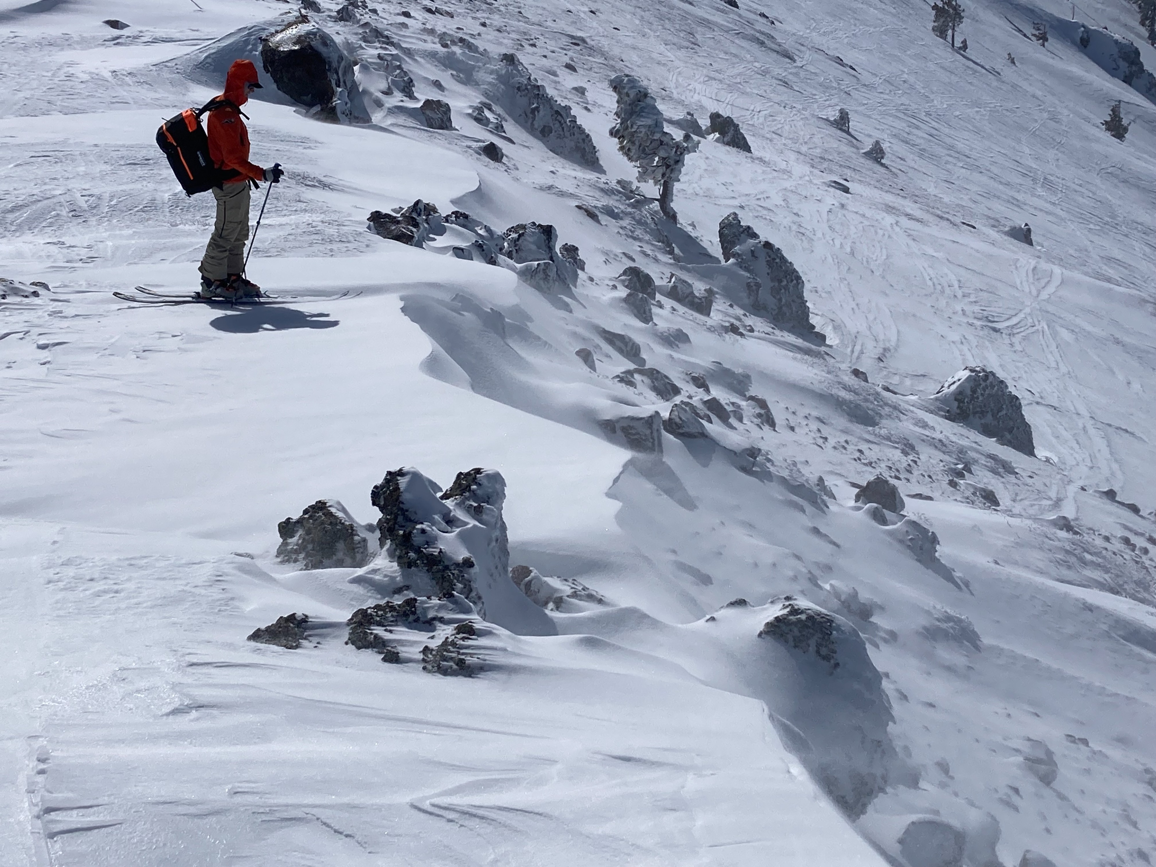
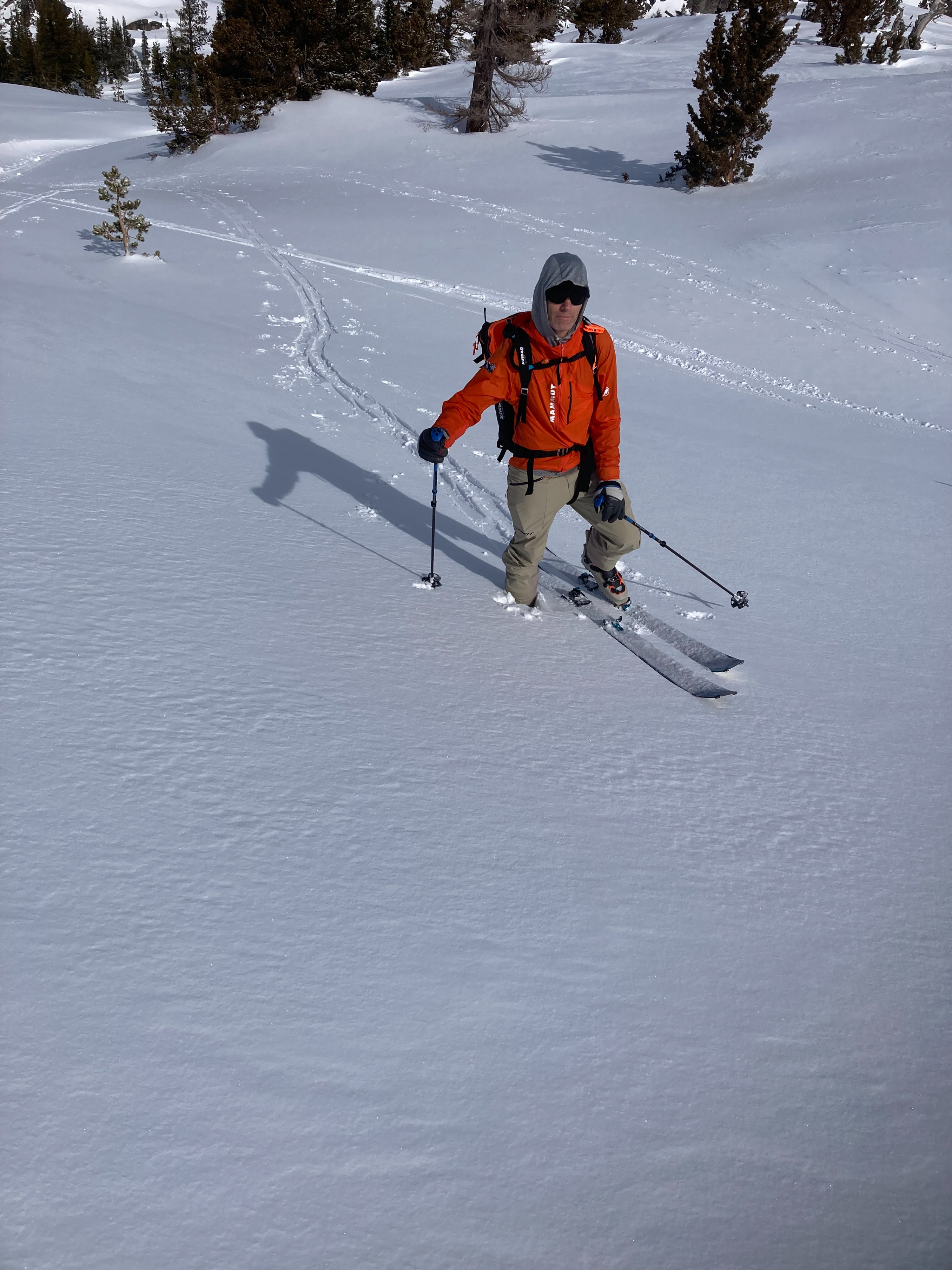
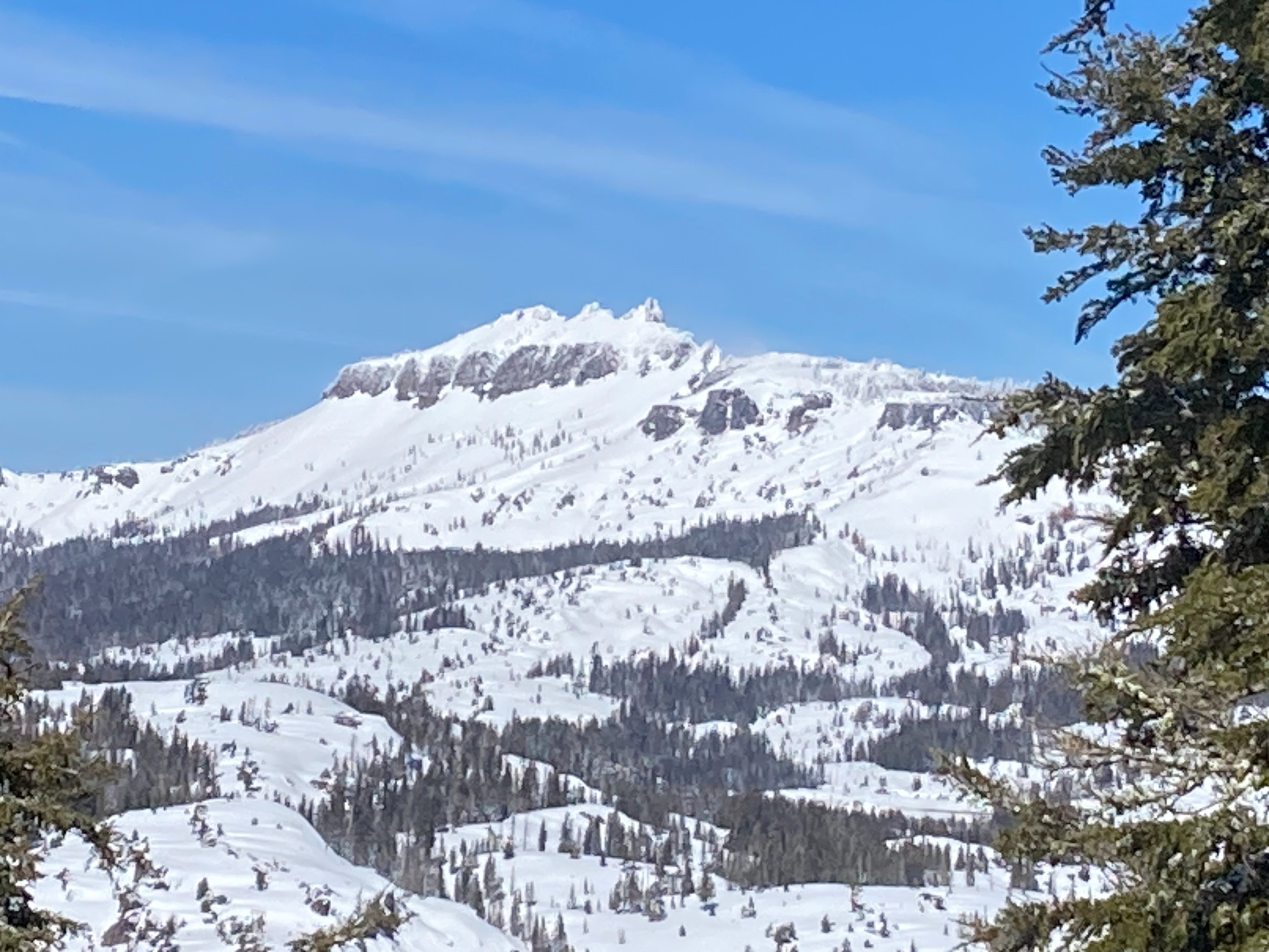
We went to Mt. Judah to look at the recent storm snow and to see any recent avalanche activity. Winds switched from the SW to the NE early this morning and were increasing in speed. Around 4 to 6'' of recent storm snow existed in wind protected areas. Cornices that built out and formed over the previous week of gale force SW winds were now starting to get scoured and eroded from the increasing NE winds. We saw a couple small wind slab avalanches that occurred yesterday on N and E aspects. On N-NE-E aspects there exists anywhere from 6 to 12'' of soft snow that is available for wind transport as these NE winds increase to gale force later tonight. Most of these N-NE-E aspect slopes and cornices will be severely scoured, potentially back to old firm crust surfaces. We observed small newly forming cornices and wind slabs on S-SW-W aspects during our tour today. Minor wet snow was forming on lower elevation southerly aspects. This wet snow formation was delayed from the cold temperatures this morning and strong NE winds.
Weather
- Cloud Cover
- scattered
- Wind Loading
- moderate
- Recent Snowfall
- 0
- Snow Avail For Transport
- moderate amounts
Decreasing cloud cover throughout the day with mostly sunny conditions. Winds shifted to the NE and were increasing in speed to strong along exposed ridgelines.
Avalanche
- Size
- D1
- Aspect
- E
- Trigger
- NC
- Elevation
- 8200 ft
Multiple small wind slab avalanches occurred yesterday in this area. Most appeared to be triggered by cornice collapses. The largest was found on the East face of Mt. Judah and was D1 in size.