
Quick report
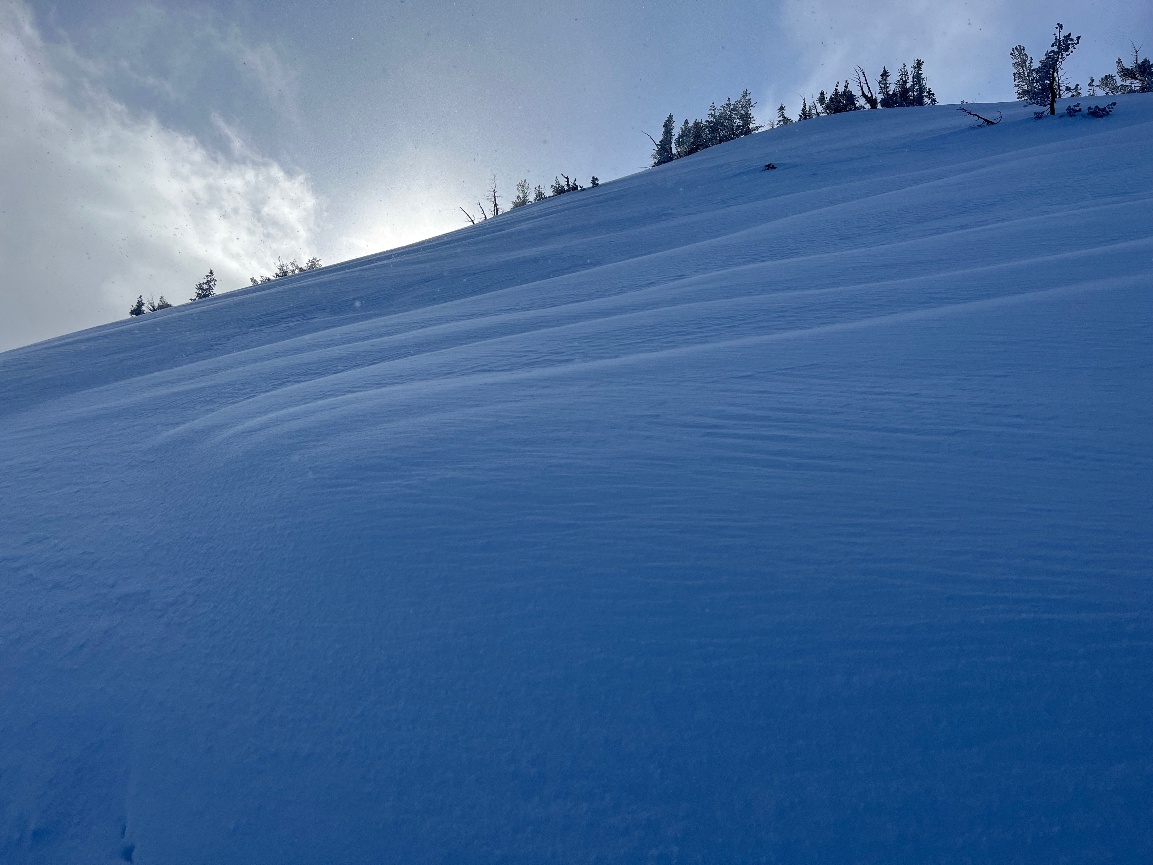
I found enjoyable powder skiing over a firm surface. In some places, I was not hitting the underlying crust. The NW wind was beginning to transport snow and stiffen the surface above 8000'.
The snowpack is weak and should be paid close attention to as additional load is added in the coming days.
Weather
- Air Temp
- 18
- Cloud Cover
- overcast
- Wind Loading
- light
- Recent Snowfall
- 15
- Snow Avail For Transport
- moderate amounts
Snow until early afternoon then sun breaks. Light NW winds gusting to moderate.
Snowpack
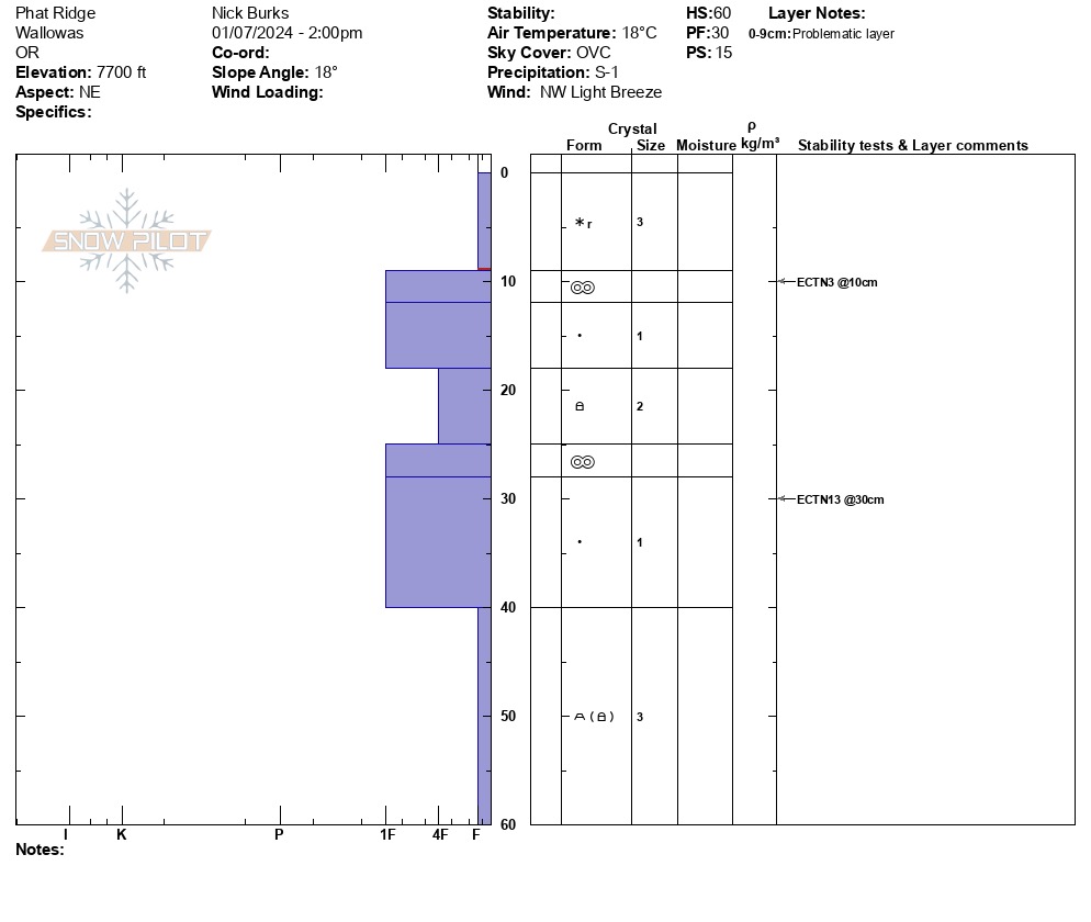
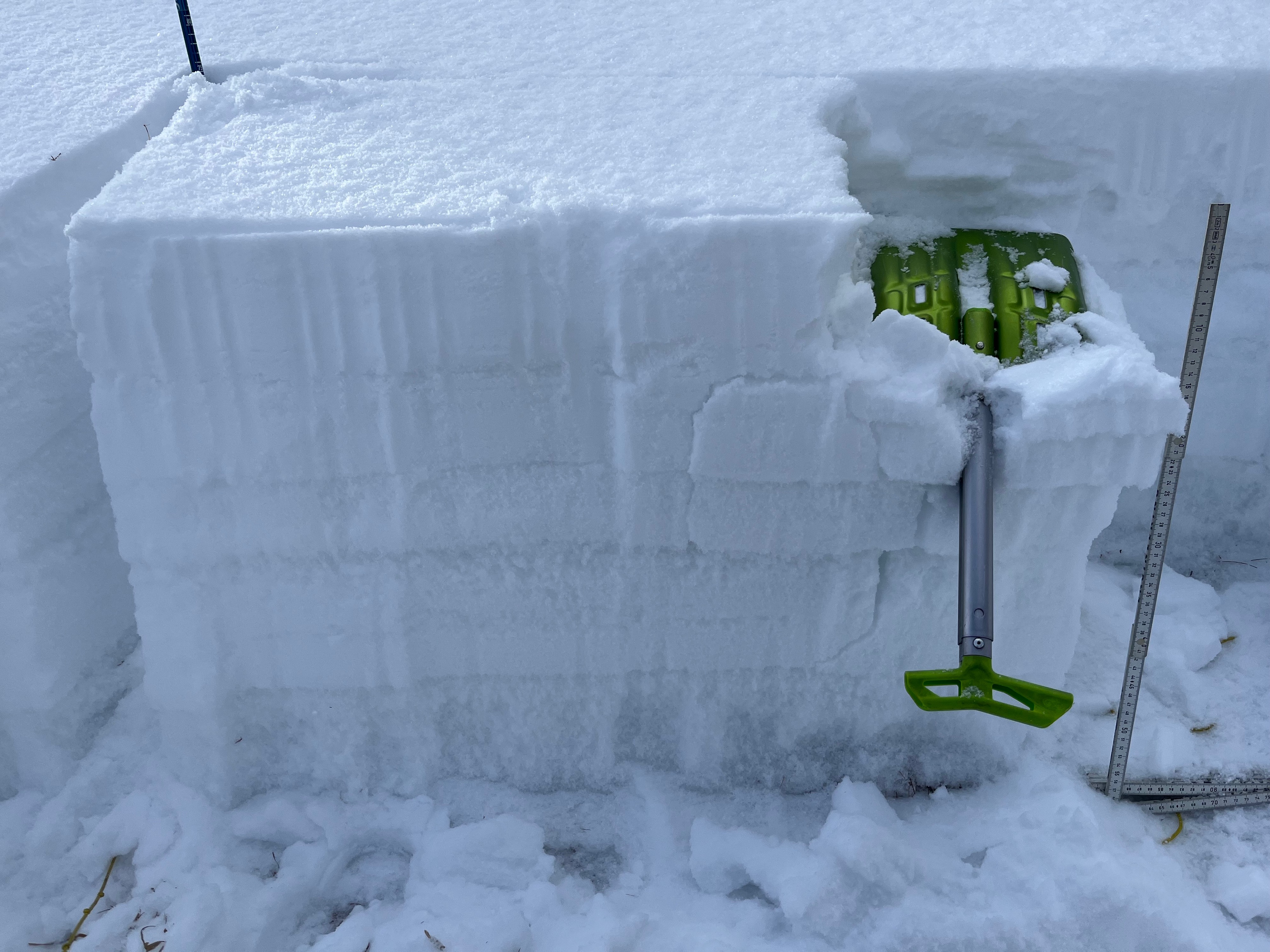
I found 4cm/2" of new snow at 6000'. The snow got progressively deeper as I gained elevation there was 15cm/6" from 7500' and up. I dug a pit (see graph) at 7700' on an NE aspect and found 60cm/2' of snow. Extended Column Tests produced fractures but did not propagate across the column. The bond between the old snow and new snow is weak and is my layer of greatest concern going forward. The snowpack structure under the new snow consists of crust/weak snow combos and 20cm/10" of basal facets to the ground.
As the storm progresses this week, I expect stability to decrease and for avalanches to fail and step down into the old snow.,