

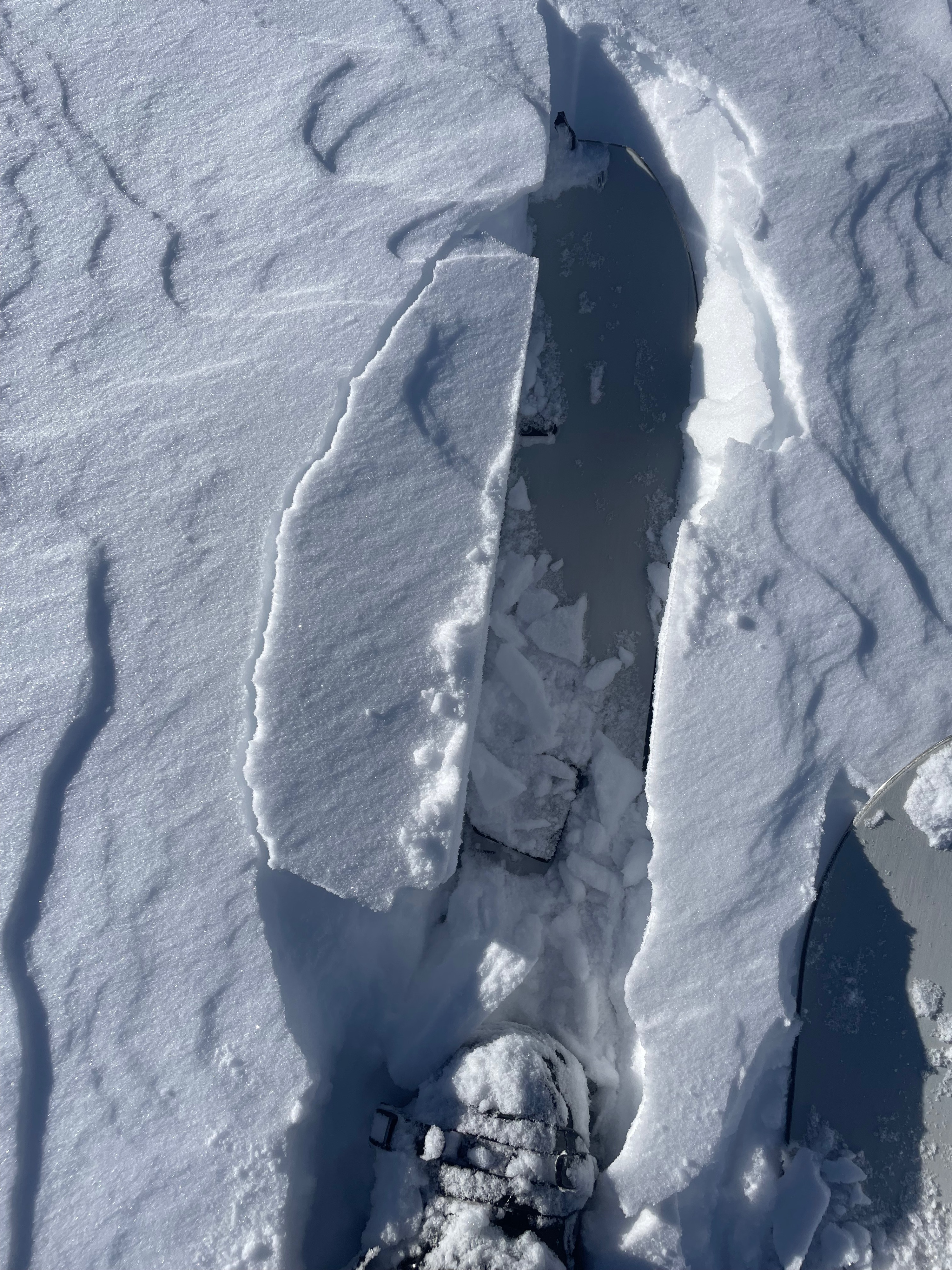
Quick report
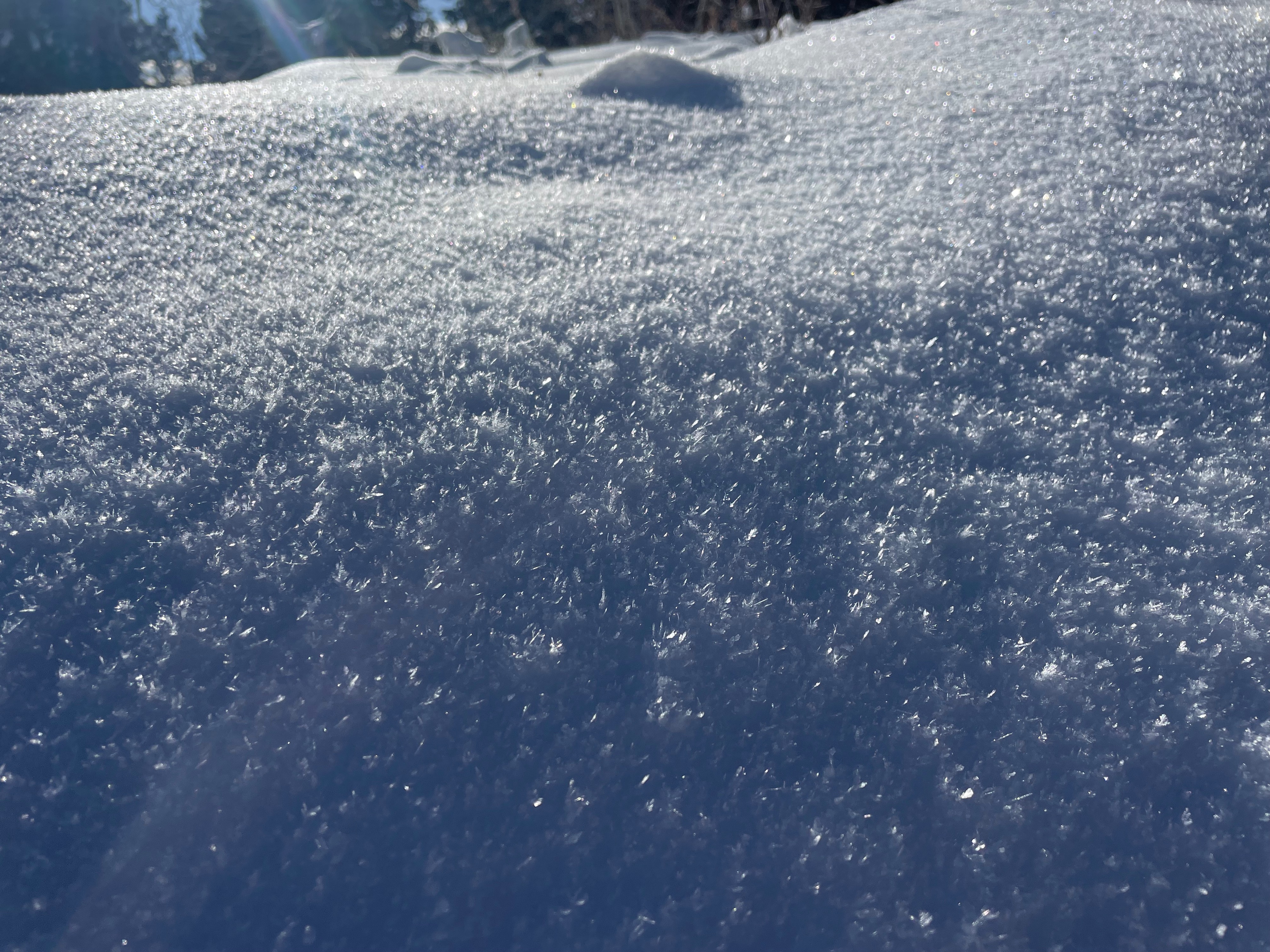
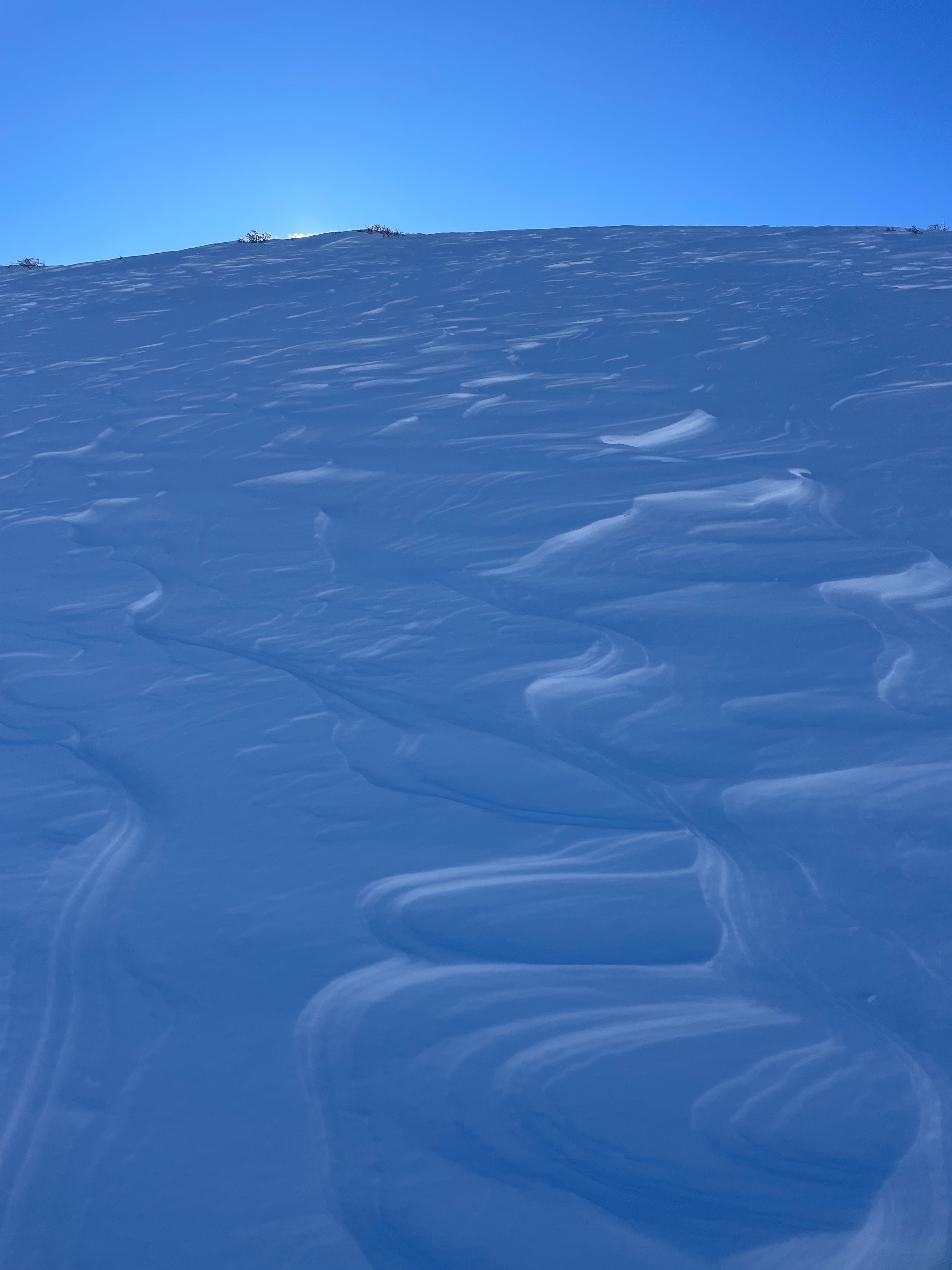
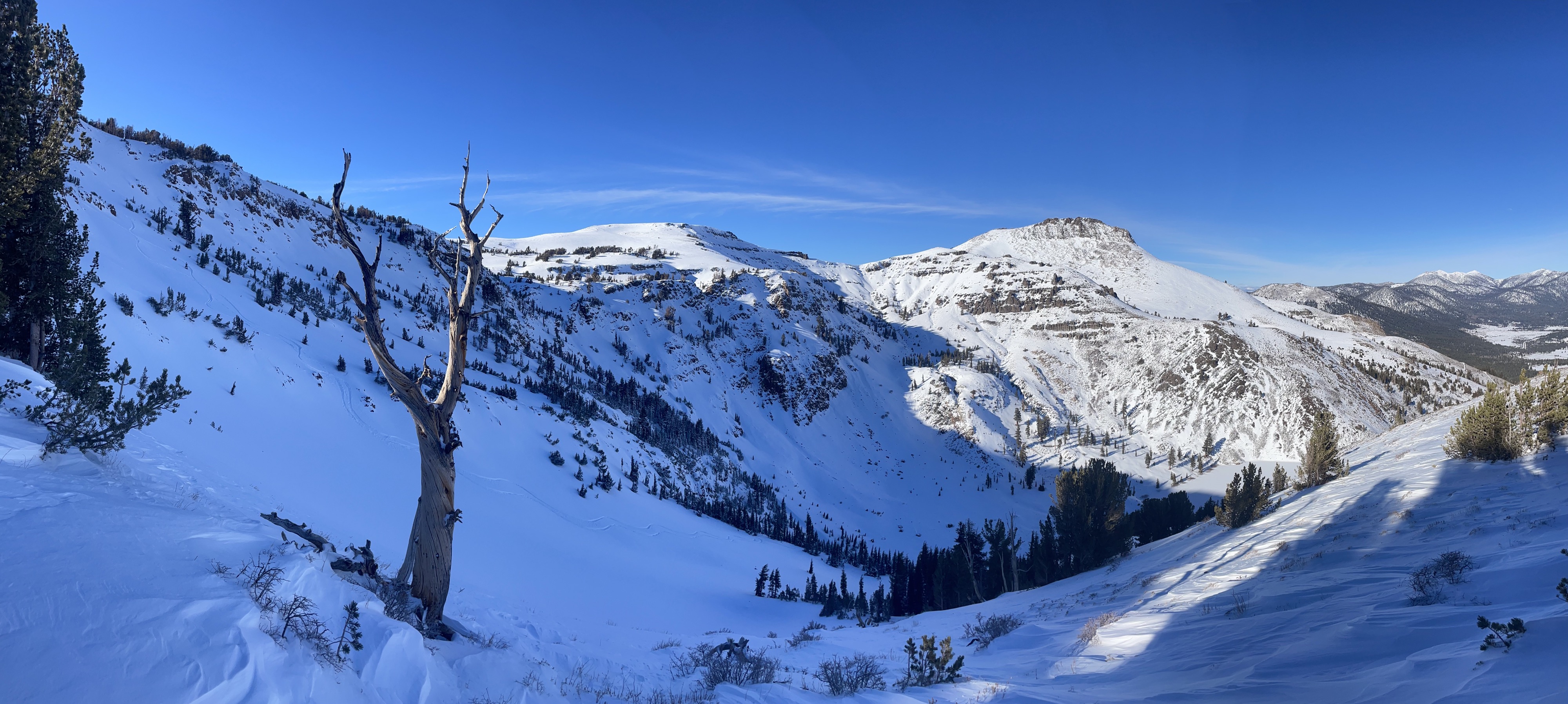
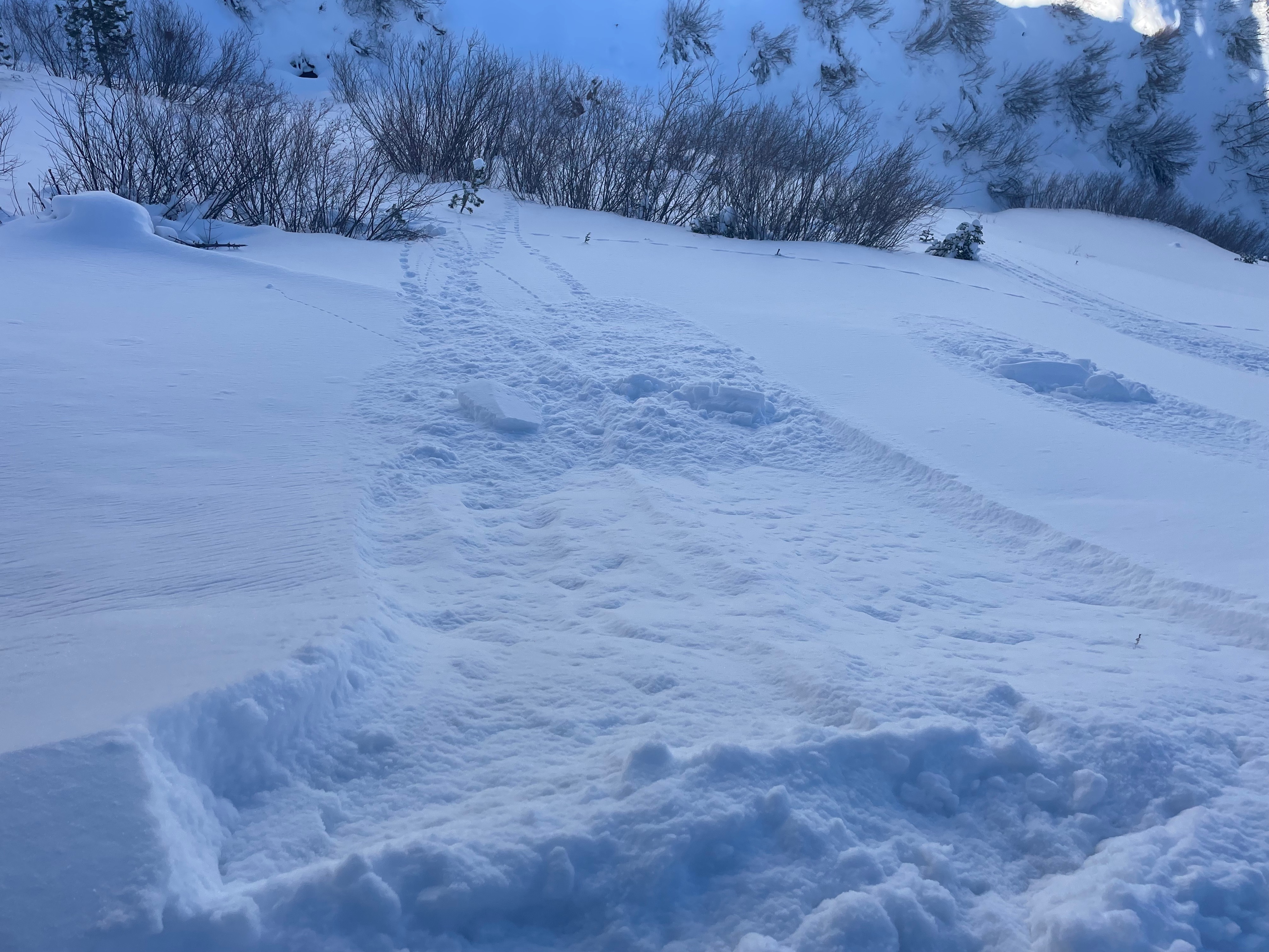
We traveled up Crater lake road towards Red Lake peak. The coverage on the way up from the highway was better then expected. Despite the snow being low density it traveled well and made for good skinning all the way up. Below tree line the snow was well protected showing no signs of wind effect but patches of new surface hoar forming on top of the new snow. Once we got to the lake there was more presence of wind affected snow in this area and continued in above tree line terrain. Were there was no wind effect above tree line the snow was F-hard not really having any characterisitics of a slab. We did observed a few areas of small loose dry avalanches but only on steeper slopes and in isolated areas. As we continued up, the surface snow did have some wind slab formation but only up to 4"-6" at best and was not a hard slab but more soft then anything. On the way down we kept out terrain selection mellow with the complexity of the snowpack and the variability of avalanche problems. The snow quality was great and riding the road down was again way better then expected as we were able to maintain speed all the way to the highway.
Weather
- Air Temp
- Below freezing
- Cloud Cover
- few
- Wind Loading
- none
- Recent Snowfall
- 30cm
- Snow Avail For Transport
- large amounts
A beautiful day all together, winds were non-exsistent below tree line with a slight breeze above tree line. The temps were below freezing all day but in the sunshine it felt 15 degrees warmer. There was few clouds allowing for maxium solar radiation on southern aspects.
Snowpack
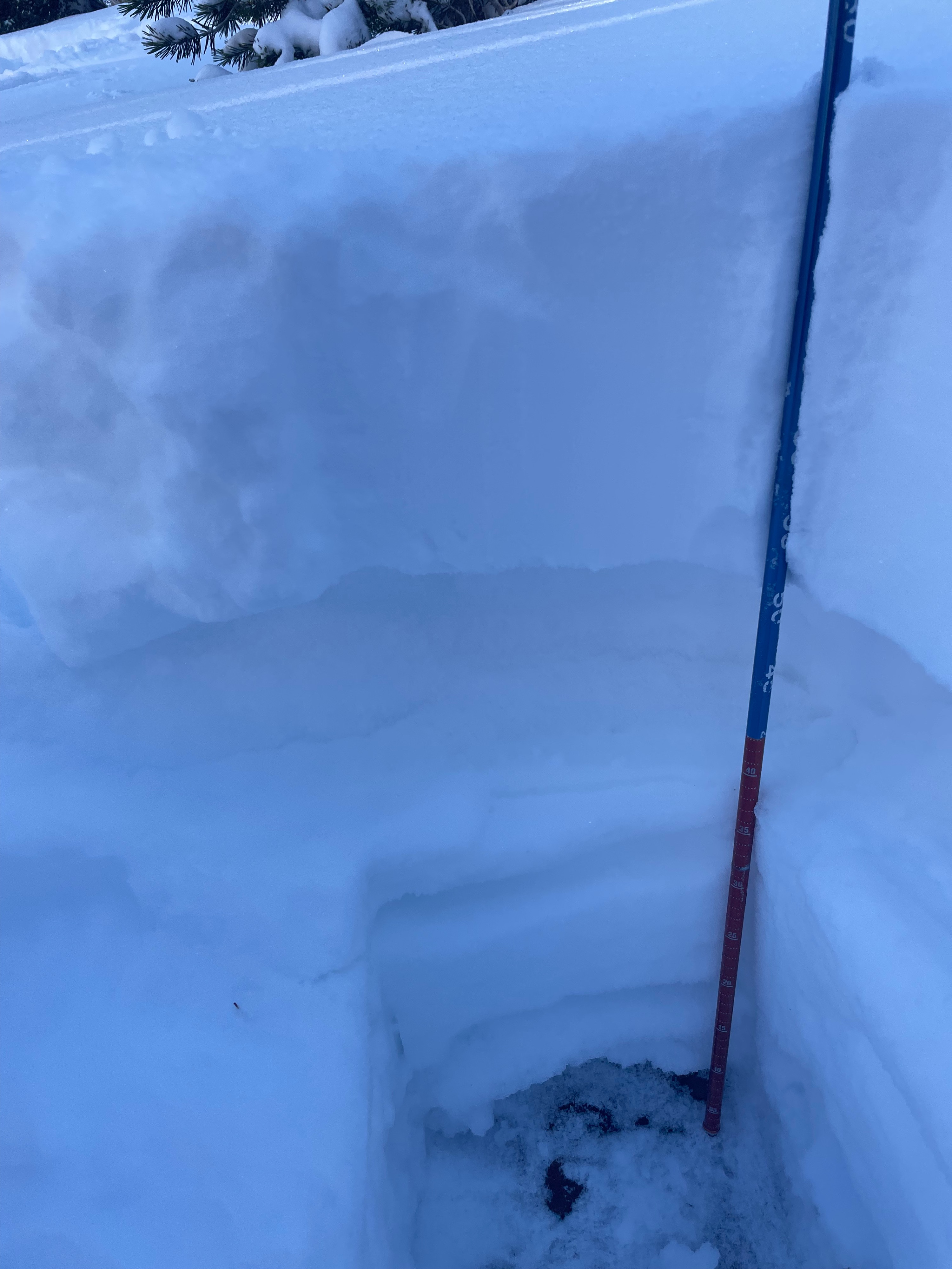
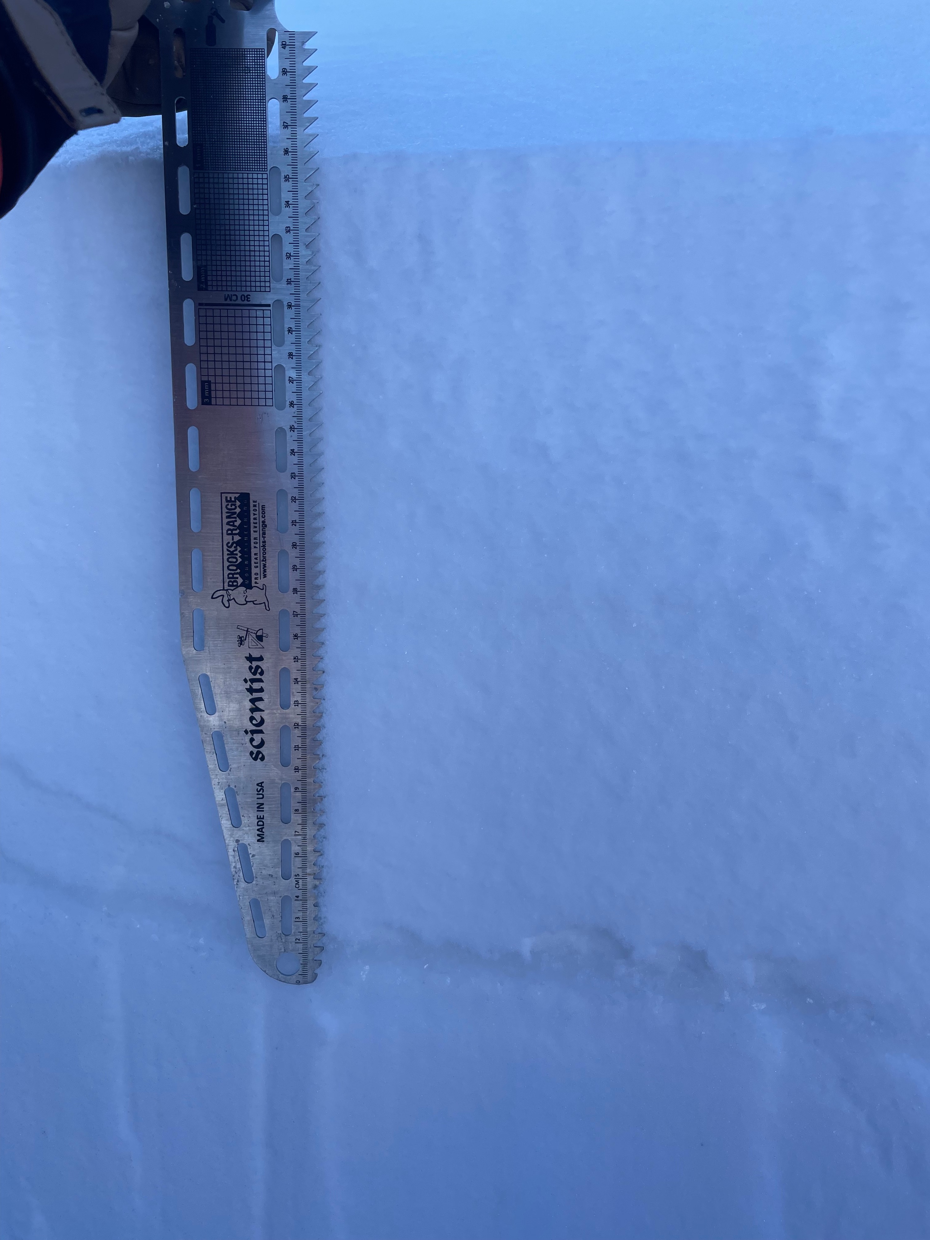
Along the way up I dug a few pits. I stopped down low at ~7500' and dug a hasty pit on a shaded N aspect looking at the snow depth and layers at this elevation. There was `~60cm of snow with 30cms on new snow on top of 30cms of rotten faceted grains to the bottom. The new snow was low density and very unconsolidated. The weak facets at the ground were sugary, dry and well formed. I performed a shovel tilt and everything fell off the shovel.
My second pit was at 8400' on a N aspect. I observed a variety of layers. There was 30cms of new snow on top, followed by 17cm layer of buried near surface facets, above a rain crust, with weak dry facets to the ground after that. I performed a shovel tilt to look at the interface between the new snow and near surface facets and had no result with it all crumbling apart. In my CT the I had sudden planar result at the interface of the rain crust below the near surface facets. I moved on to the ECT and had ECTN results showing no signs of propagation. The facets in this pit were weak, dry and non-compressible.
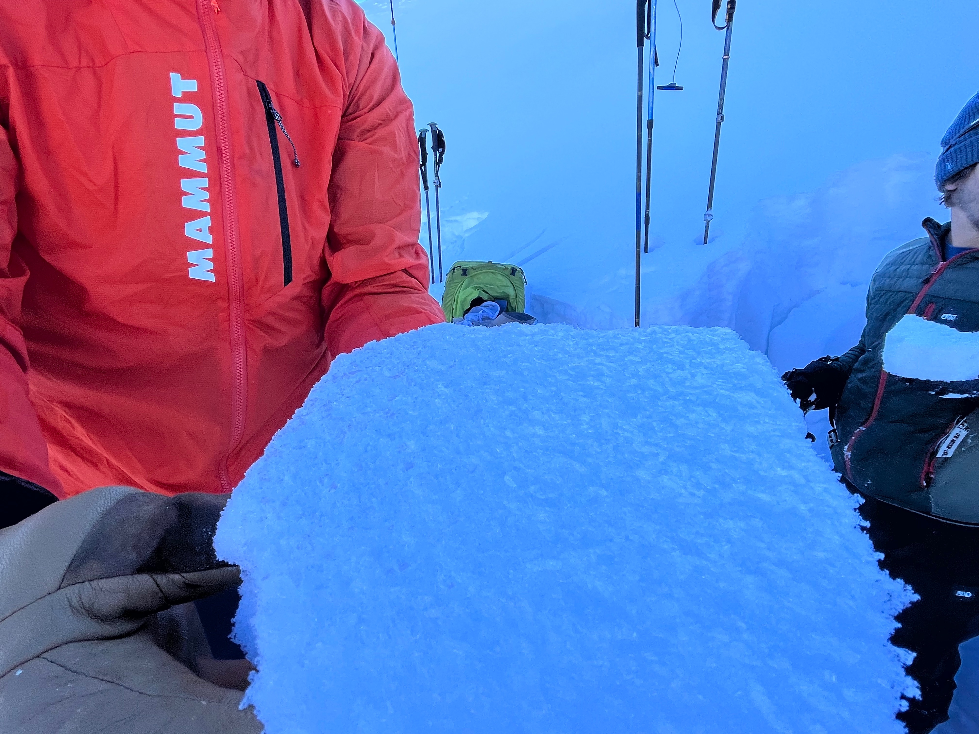
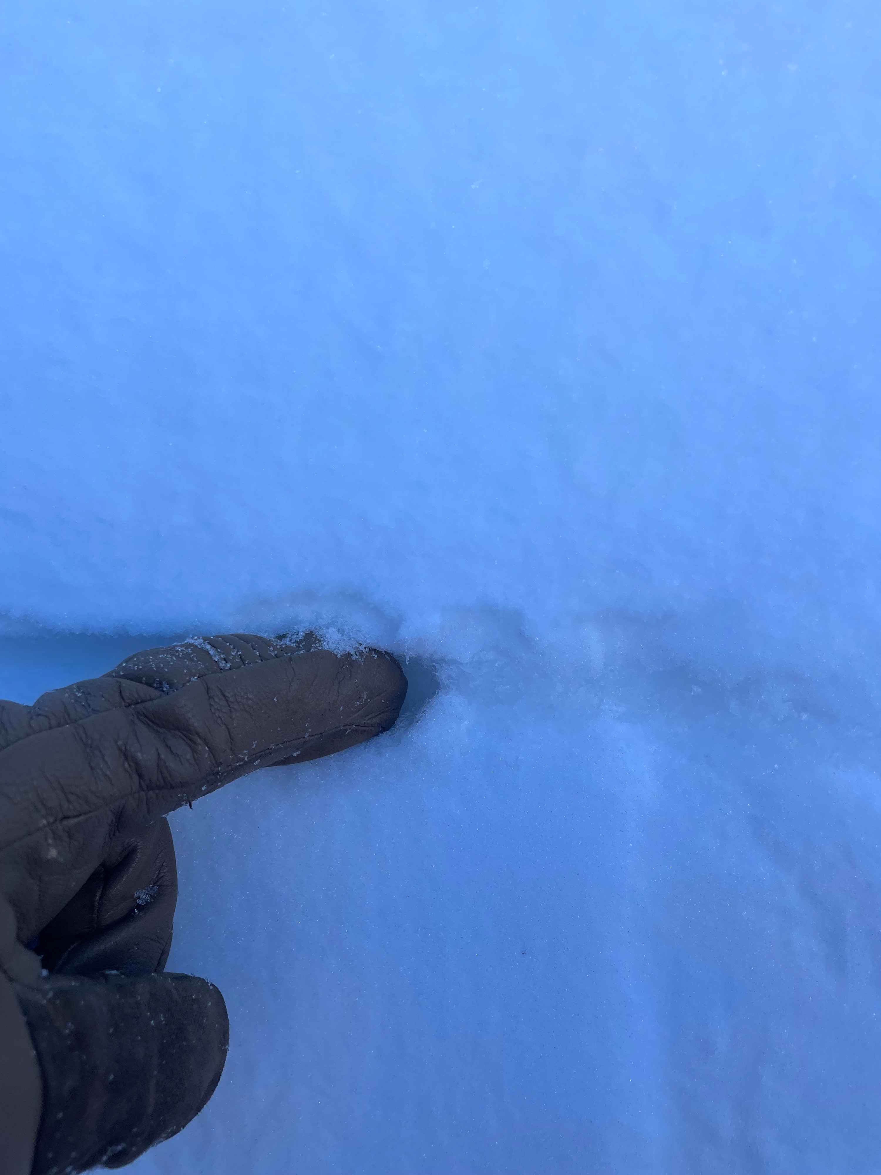
My third pit was at 9000' on a N-NE aspect. The HS was 160cm and was a mix of new snow, a large thick wind pack layer and weak facets at the surface. The real stand out was a clearly visible 3cm thick layer of buried surface hoar that was just below the 30cms of new snow. The surface hoar grains were an average size of 6-8mm and some were much larger. This layer was very reactive on compression test scoring a CT3 and propagated on isolation of my ECT test. I did perform PST (2x) and had ~75/100 ARR on both of those. The buried surface hoar was laying down and is a true PWL in its current state. Any additional loading will easily trigger this layer at this location.