
Quick report
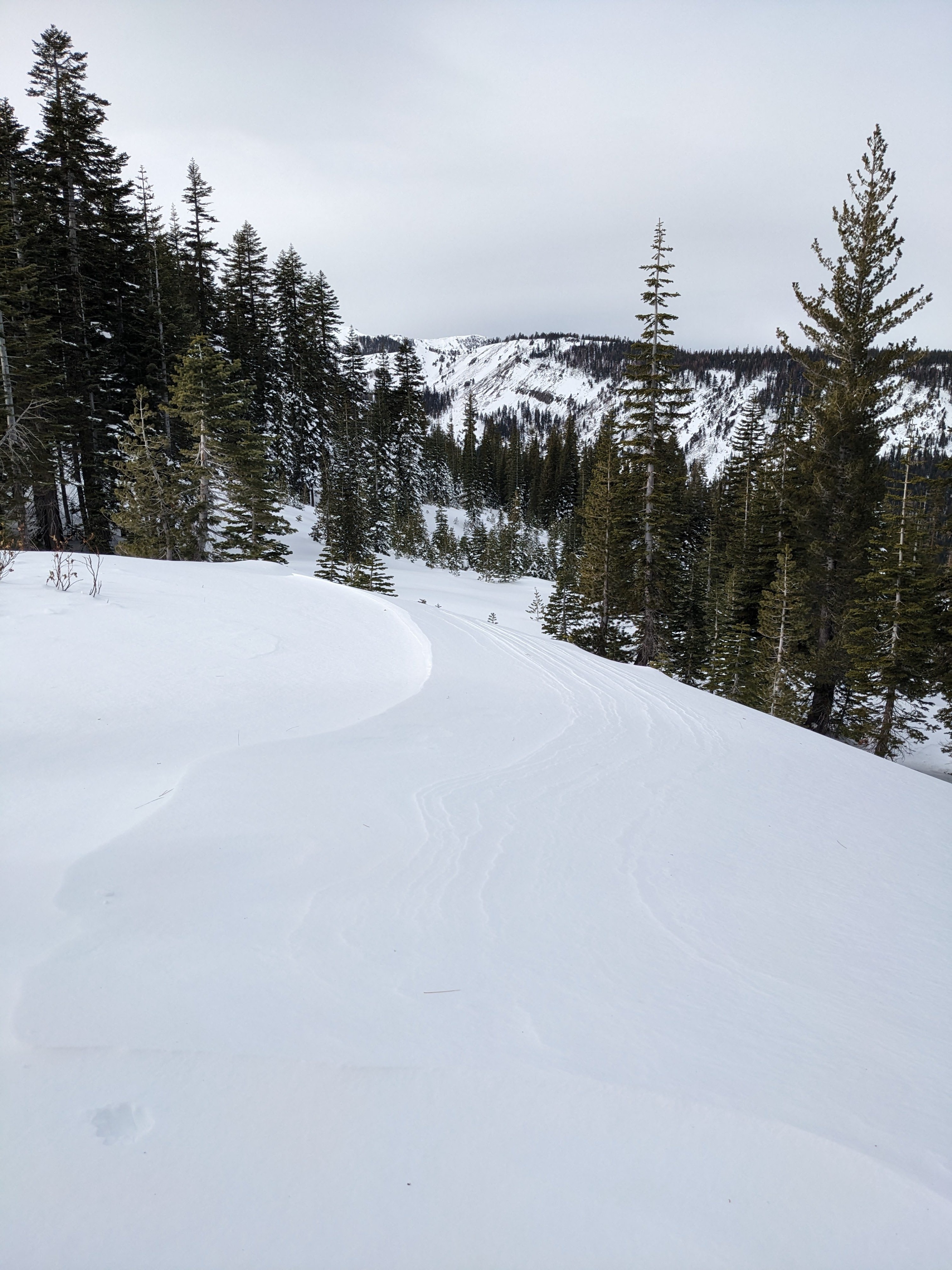
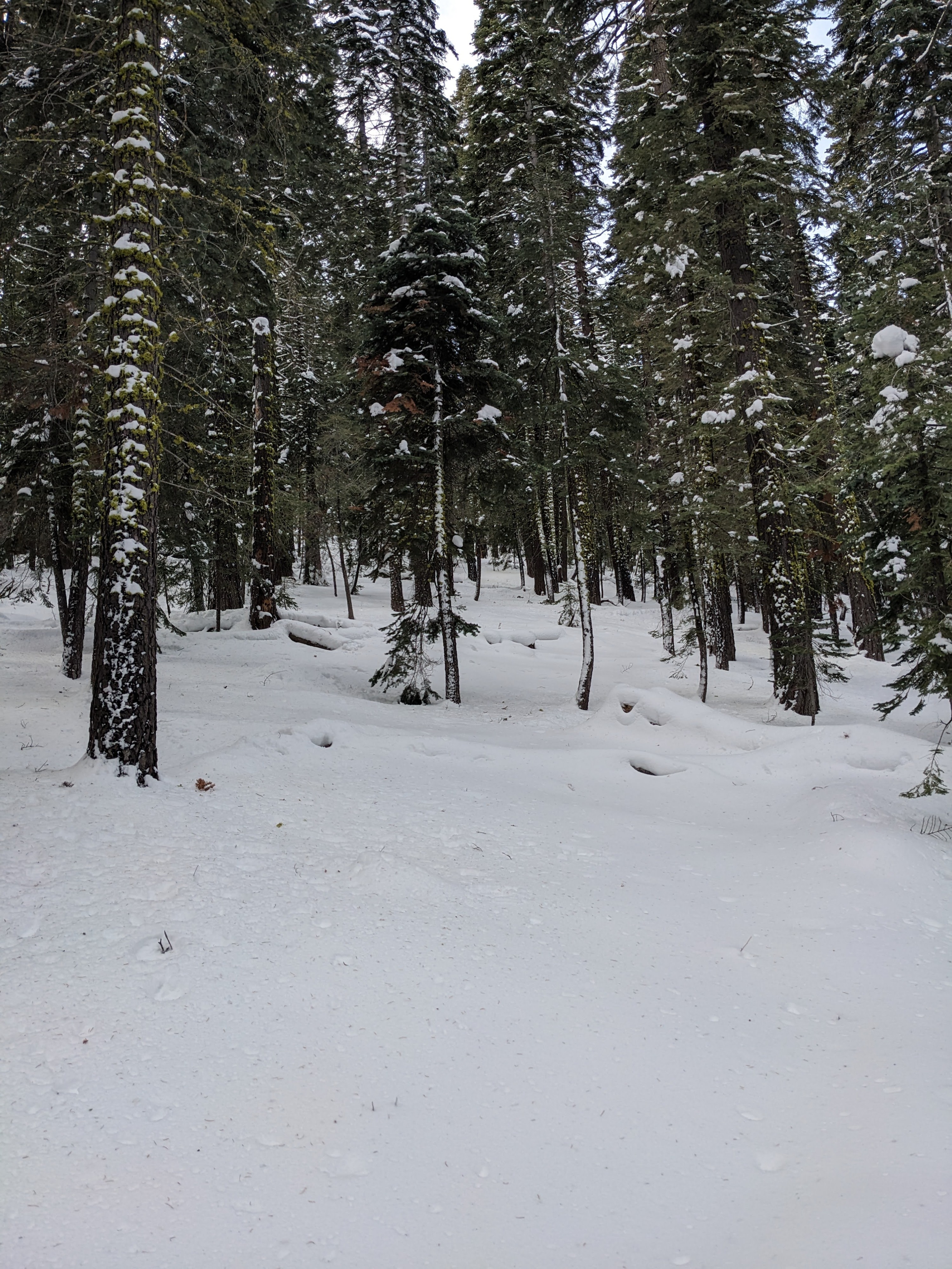
We found a breakable rain crust on the snow surface up to about 7000 ft. in the Deep Creek area. We also saw plenty of logs and stumps poking through the thin snowpack below 7000 ft. Coverage improved once we climbed above 7000 ft, and the rain crust transitioned to dense, supportable snow. Along the ridge, we looked into several steep N-NE facing wind-loaded slopes. Most of these did not hold evidence of previous avalanche activity, except for a small pile of mostly covered debris against some trees at the base of one of them (photo here). We also stopped to dig into the snowpack to look at the persistent weak layers, which still produced unstable snowpit test results (see snowpack section).
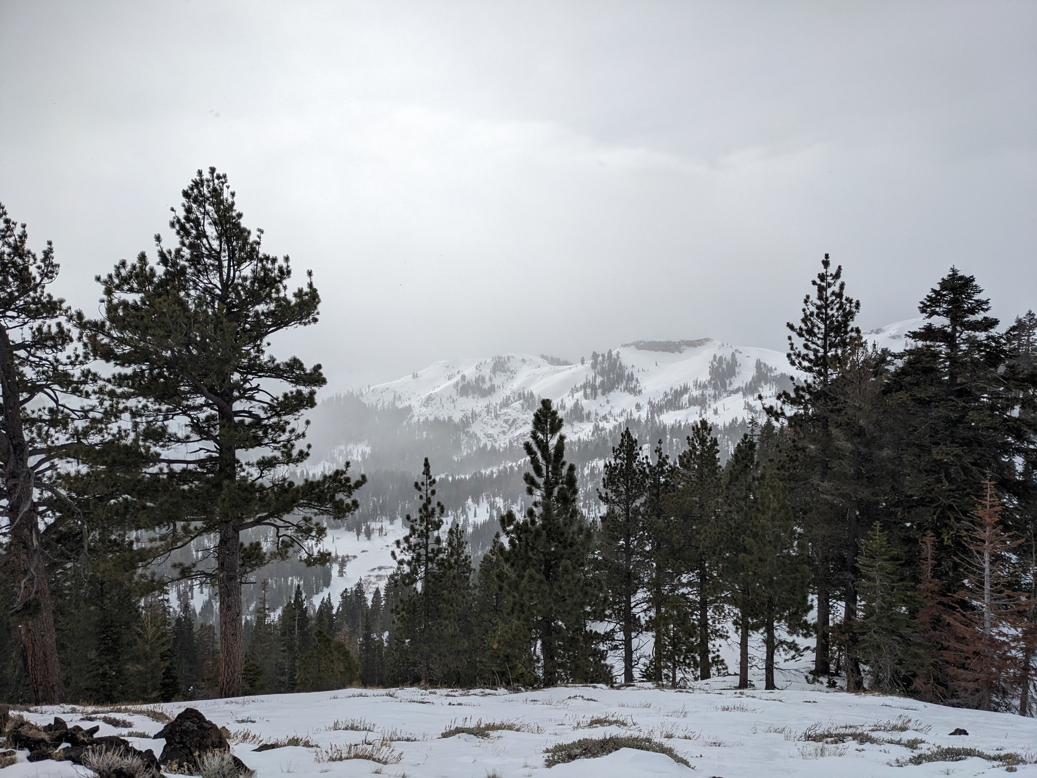
When we reached a good vantage point on the ridge, we used binoculars to look into the north side of Silver Peak and out along the north- and east-facing terrain on the Sierra Crest. We could not see any large avalanches in those places, but as we were looking, a small burst of cloud and light precip came through and decreased visibility.
Weather
- Air Temp
- 37
- Cloud Cover
- broken
- Wind Loading
- light
- Snow Avail For Transport
- small smounts
SW winds and cloud cover increased during the afternoon. We also experienced brief light snow around 12:30 that lasted about 30 minutes and did not produce measurable accumulation.
Snowpack
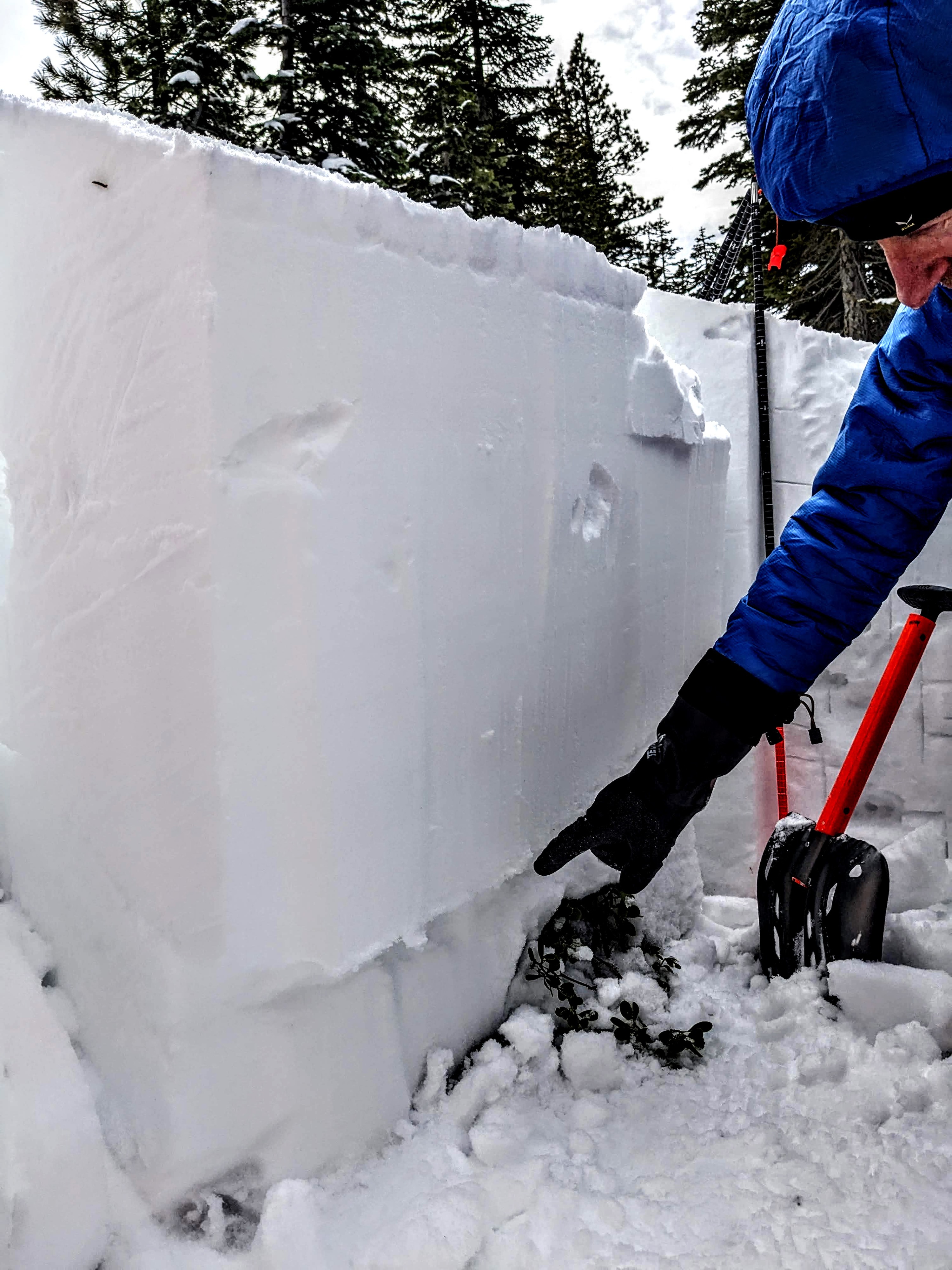
Digging into the snowpack around 7600 ft, we found the Jan 2 weak layer about 2 ft below the surface. In this area, it looked like facets near a crust. This layer was also much closer to the ground since much less snow existed at these elevations before Jan 2. Snowpit tests (ECTP) still produced unstable results, but they also indicated that triggering the layer may be more difficult.
Avalanche
- Size
- D1 R1
- Aspect
- NW
- Trigger
- N
- Elevation
- 8000 ft
Mostly covered blocks of debris existed below this wind-loaded slope. It looked like a small wind slab had failed on this slope during the storm on 1/13/2024.