
Quick report
It was great to get up to higher elevations in this area to check on the snowpack before this next round of precipitation. We found that less rain had impacted the snowpack at these high elevations than we would have thought. The melt-freeze crusts are thin in many areas, and large weak grains that produced unstable snowpack test results exist at the base of the snowpack.
Weather
- Air Temp
- below freezing
- Cloud Cover
- overcast
- Wind Loading
- light
- Recent Snowfall
- trace in the last 24hrs
- Snow Avail For Transport
- small smounts
We experienced a cold, cloudy, and blustery day at Mission Ridge. There wasn't much snow available for transport, but the strong winds drifted small amounts around throughout the terrain. It had not yet started snowing by the time we left.
Snowpack
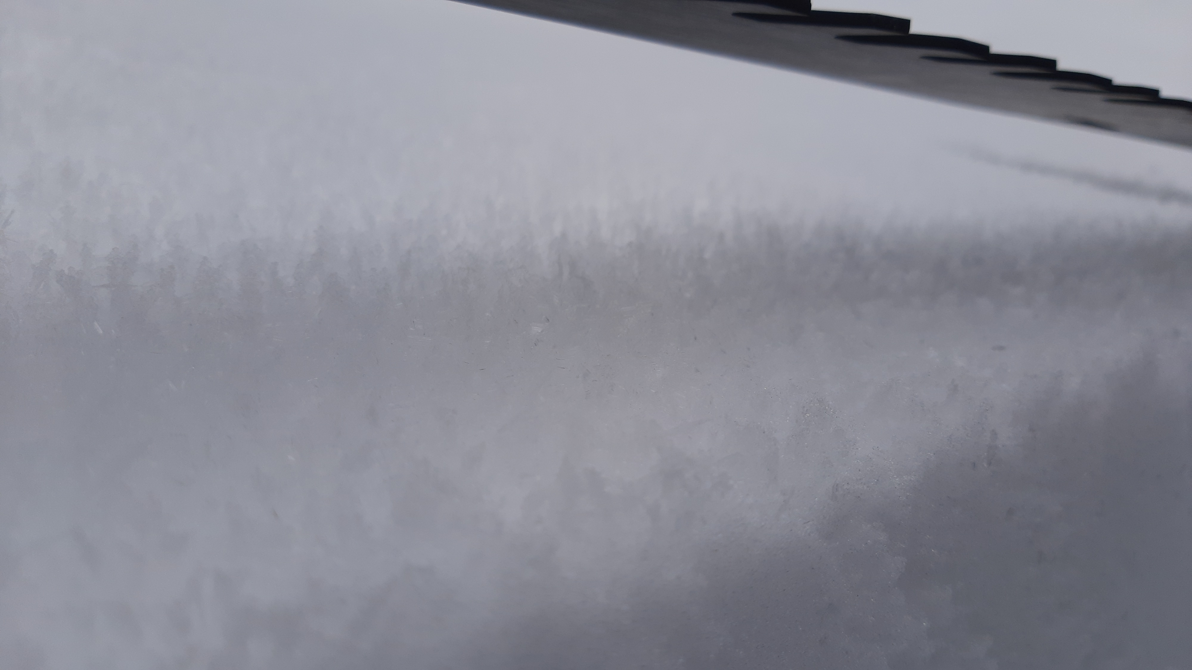
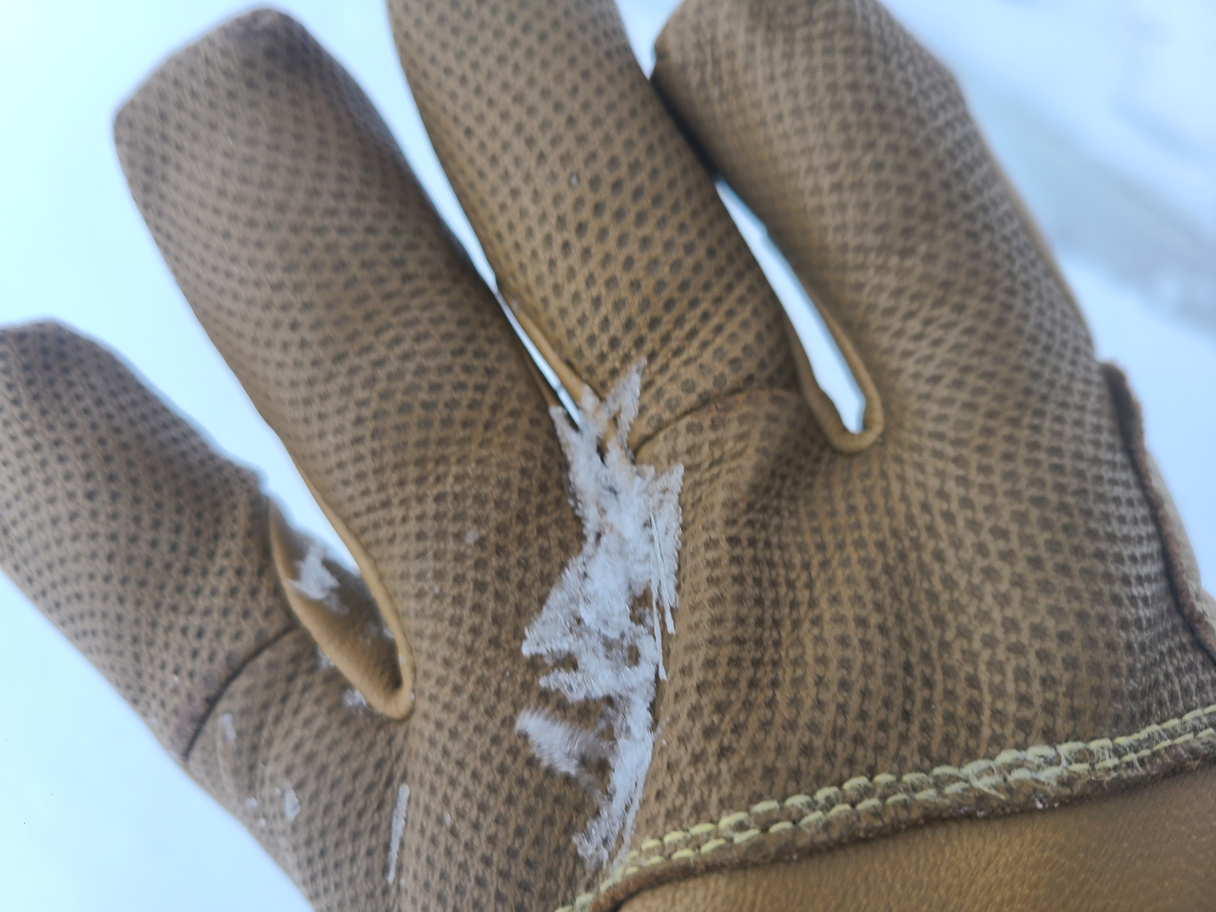
We found a thin, variable, wind-affected snowpack in the Mission Ridge Area. There was also widespread surface hoar from Friday night's (Dec 8-9th) cold, clear weather. Quick hand pits failed easily with isolation on weak snow over a crust in a wind-loaded area on the ridge.
We traversed outside the ski area boundary at 6600ft to find a location representative of the backcountry snowpack. Snow depths in the area ranged from 11-20 inches. These variable depths are likely due to rocks and talus in the areas where we measured snow depths.
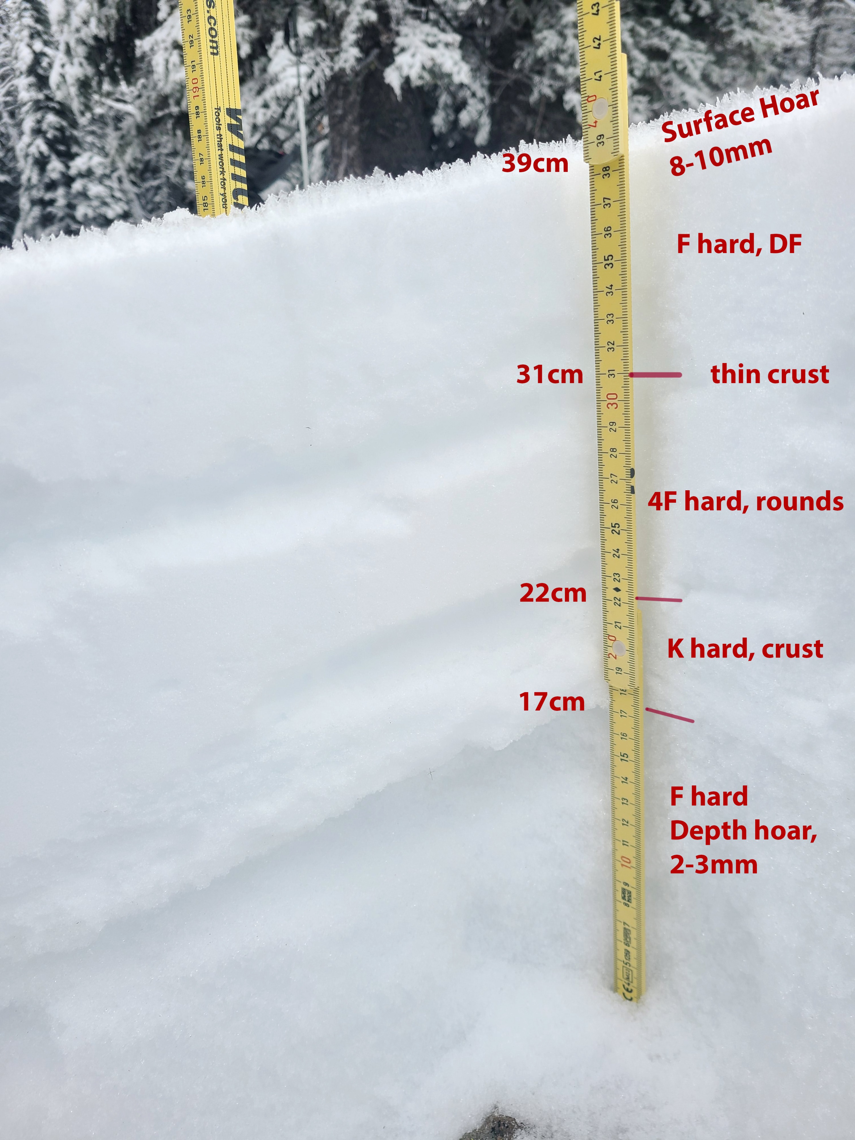
A profile in this sheltered area showed about 4 inches of recent snow from December 7 over a thin, breakable melt-freeze crust. Below this upper crust is a layer of small rounded grains over a thicker crust. The lower crust is around an inch thick and is more of a layered sandwich of snow and crusts. A thick layer of very weak (F- hardness) 2-3mm depth hoar grains exists at the base of the pack. Stability tests on this layer produced unstable results of both sudden collapse fracture character and the potential for propagation. (CT20 SC, ECTP16 SC)
The crusts were only semi-supportable to boots where we dug, and boot penetration was to the ground when you broke through. It is important to note that the crust was much thicker on top of the ridge.
Below 5,500ft, the snowpack was much shallower and more impacted by the Dec 5th rain.