
Quick report
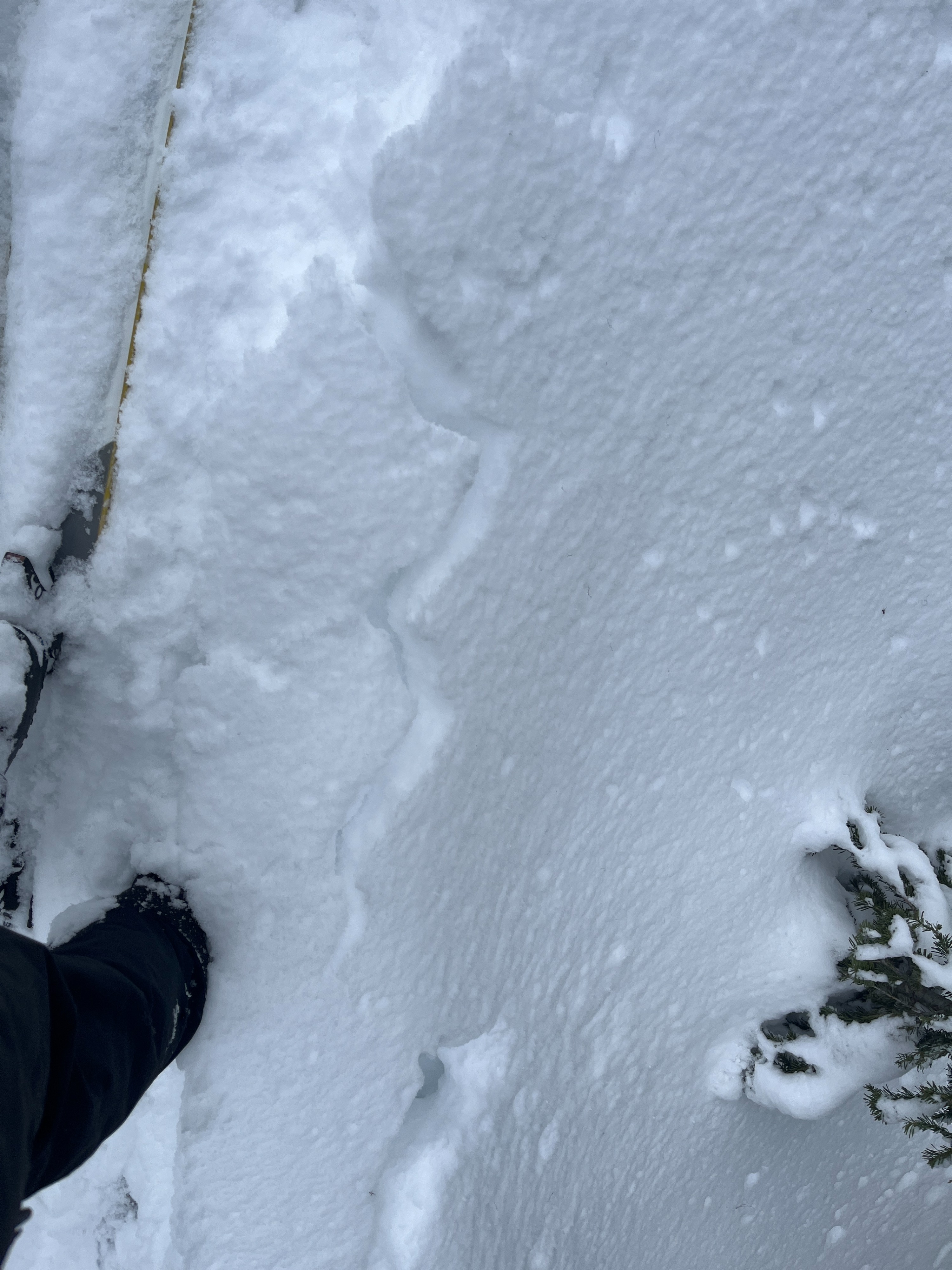
- Cracking
- isolated
Wet snow was the primary concern today despite cloud coverage for much of the day. The surface of the snow had clearly gone through a soft melt freeze cycle overnight everywhere except densely forested areas and north/northwest aspects. By the afternoon, this snow was warming and destabilizing again. In those forested and northerly aspects, the snow was cool and dry, making for excellent skiing and riding conditions.
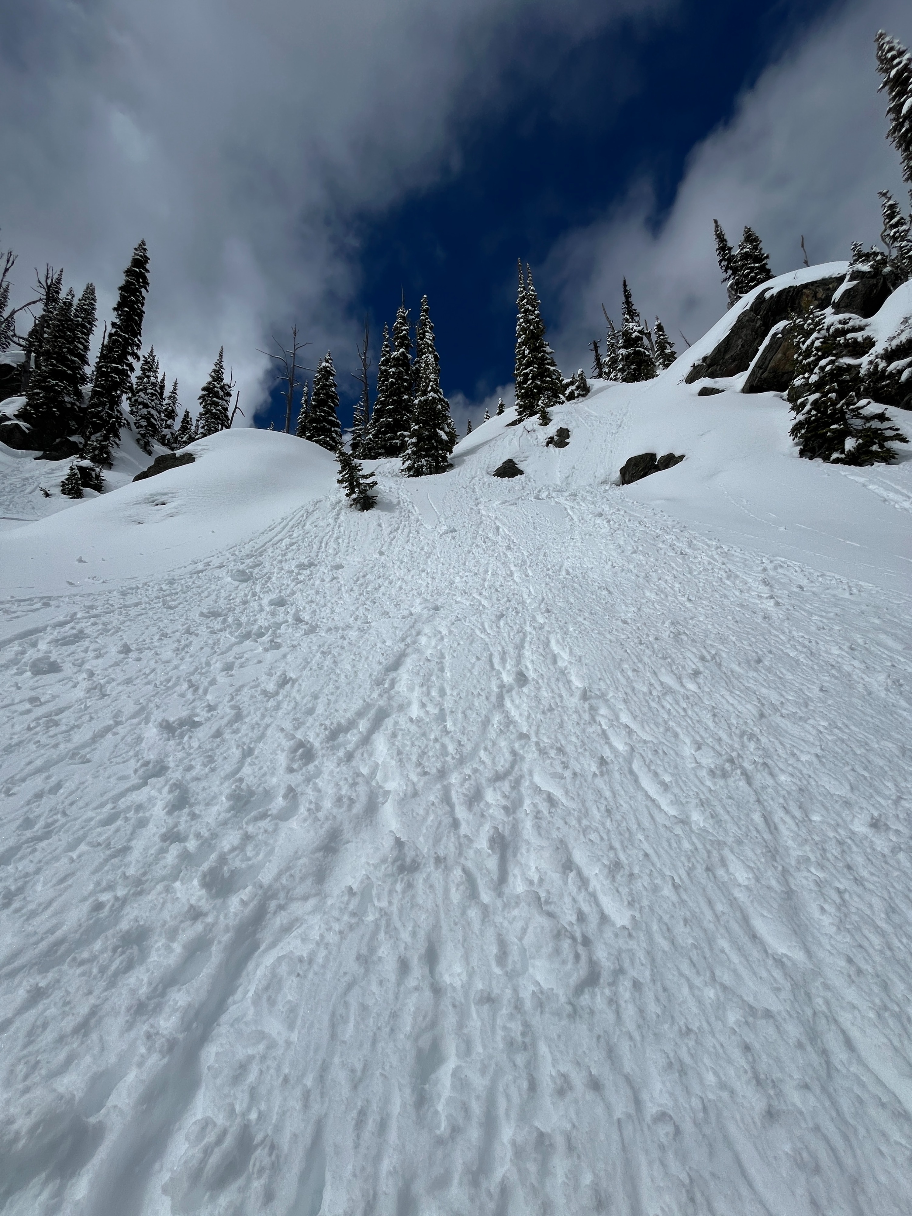
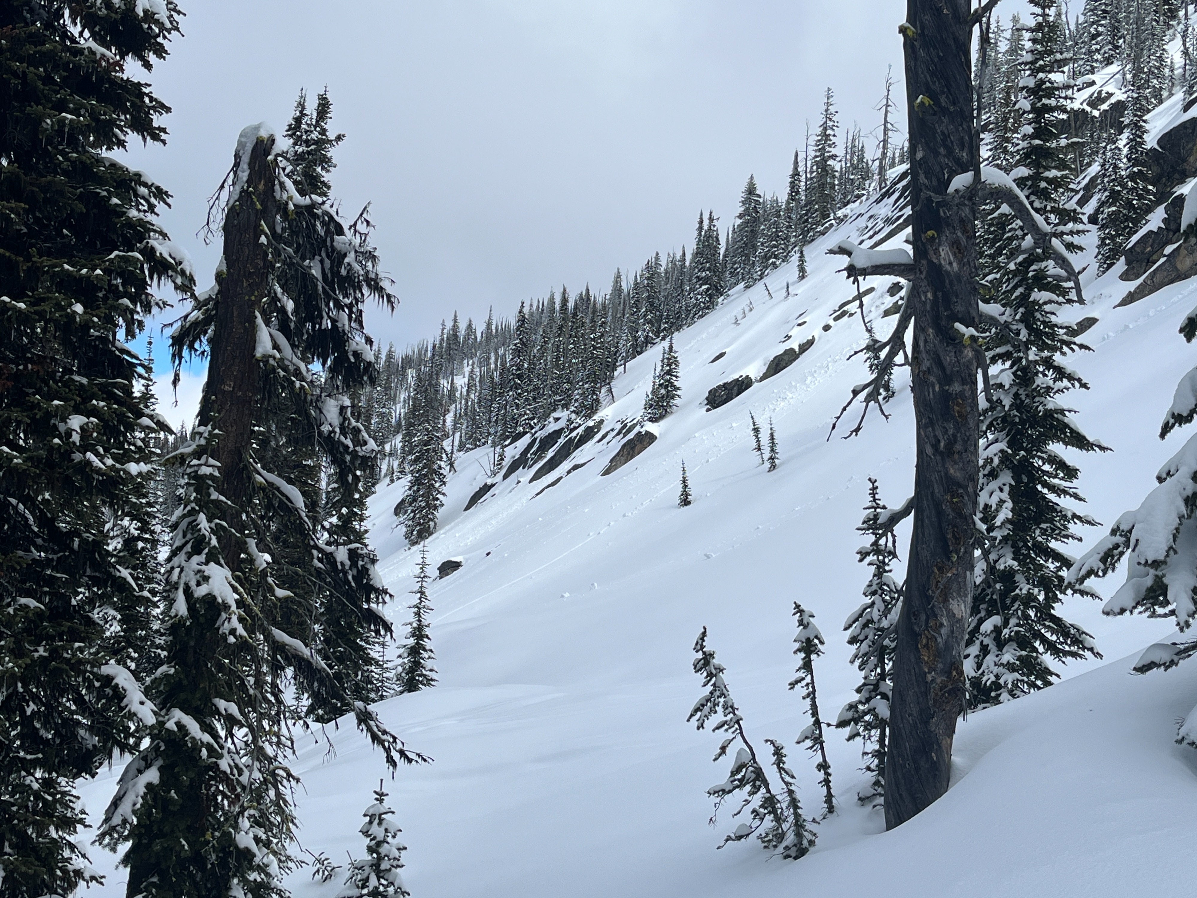
There was some isolated cracking in new snow on cold and shady aspects as we ascended. Descending a north aspect triggered some dry loose sluffing.Weather
- Cloud Cover
- scattered
- Wind Loading
- none
- Recent Snowfall
- 15-30
- Snow Avail For Transport
- large amounts
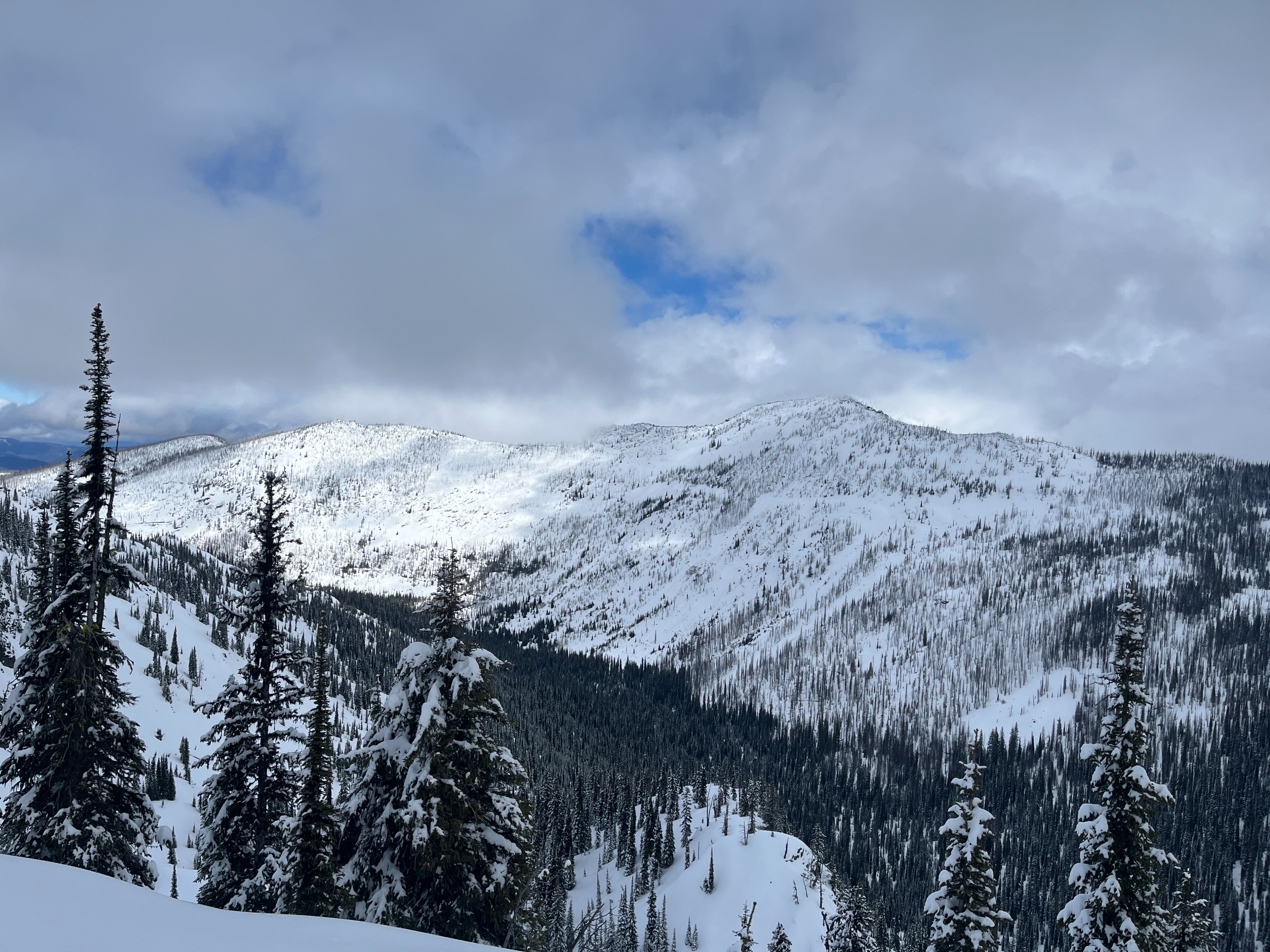
The morning started out mostly clear then progressed to mostly cloudy by 11am. It remained so until around 3pm when it became mostly clear again. Temperatures felt cool but never cold, even when there was mostly cloud coverage. The wind was calm throughout the day with no observed gusts.
Snowpack
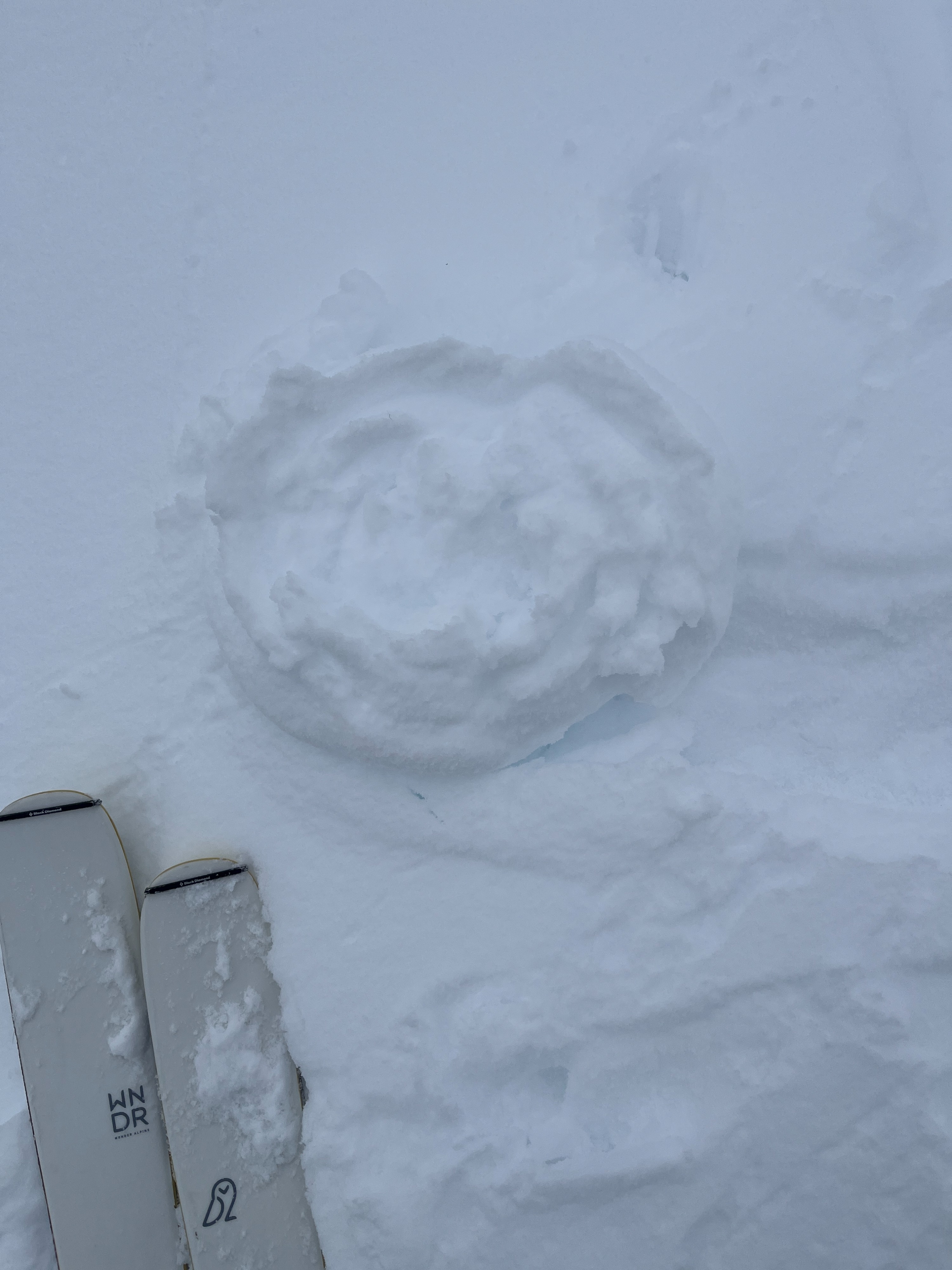
There was a light dusting of new snow on the ground at the Lolo Visitor's Center. Around 7000', we found close to 1' of new/recent snow. In densely forested areas, north, and northwest aspects, this new snow remained cool and dry. On all other aspects and especially in open terrain exposed to the sun, the snow surface was crusty and sticky. We observed roller balls and pinwheels on all aspects except north and all the way up to ridgelines. By the afternoon, the snow was wet and melting on exposed south aspects despite increased cloud coverage for much of the day. The snow remained dry 1-2" below the surface on shaded east, southeast and, west aspects. We observed no signs of wind loaded snow but encountered some isolated cracking in new snow while skinning up a shaded northwest aspects.