
Quick report
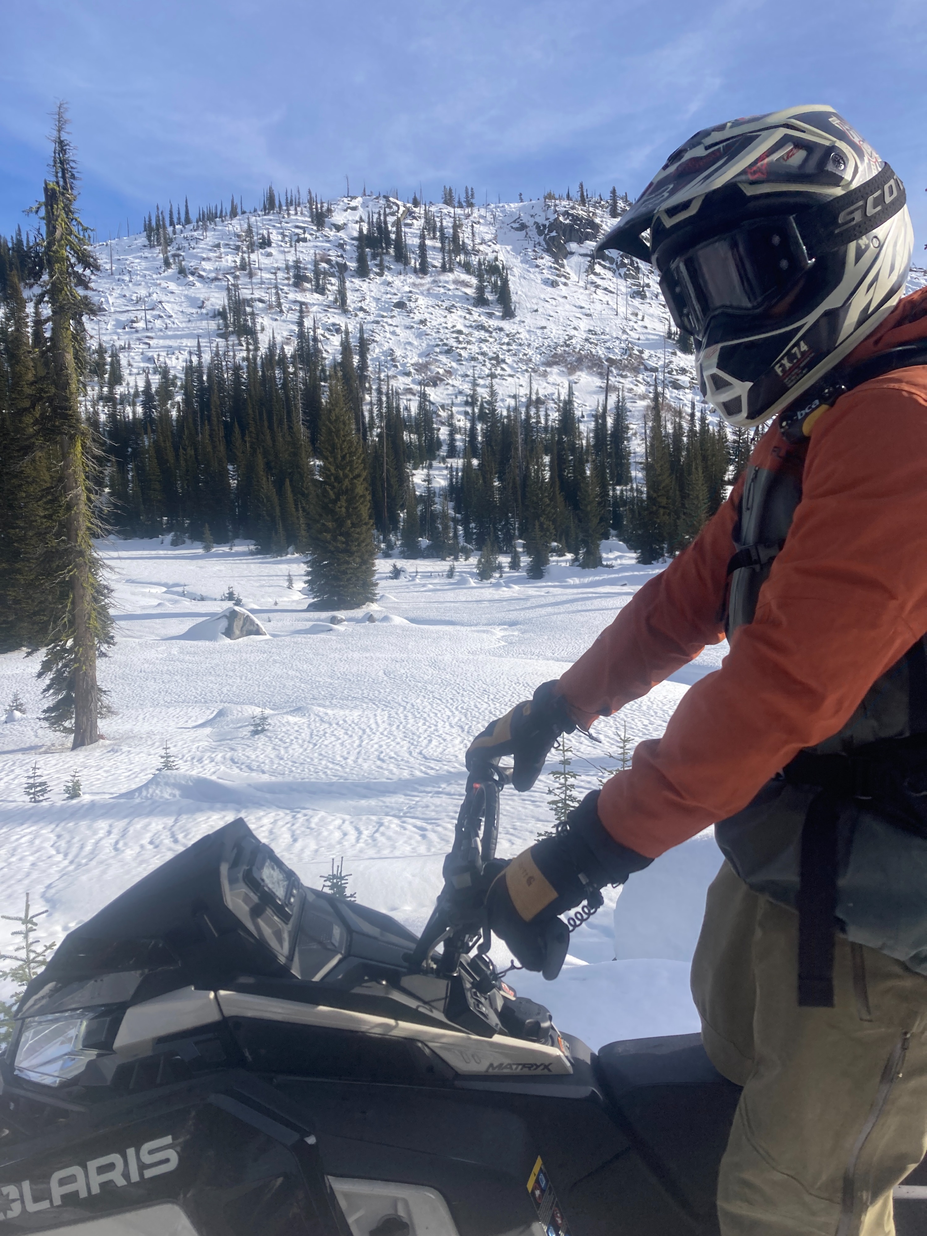
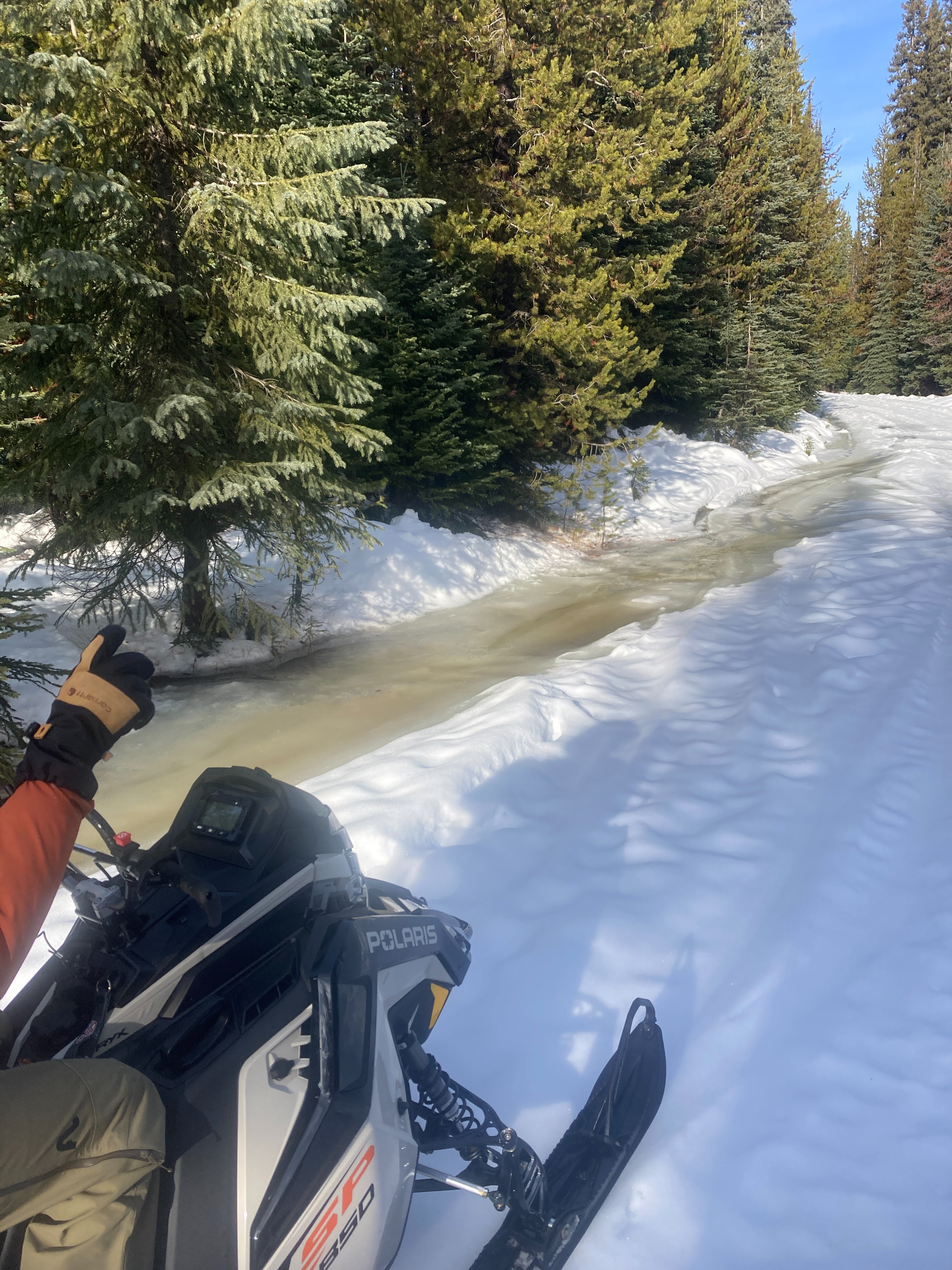
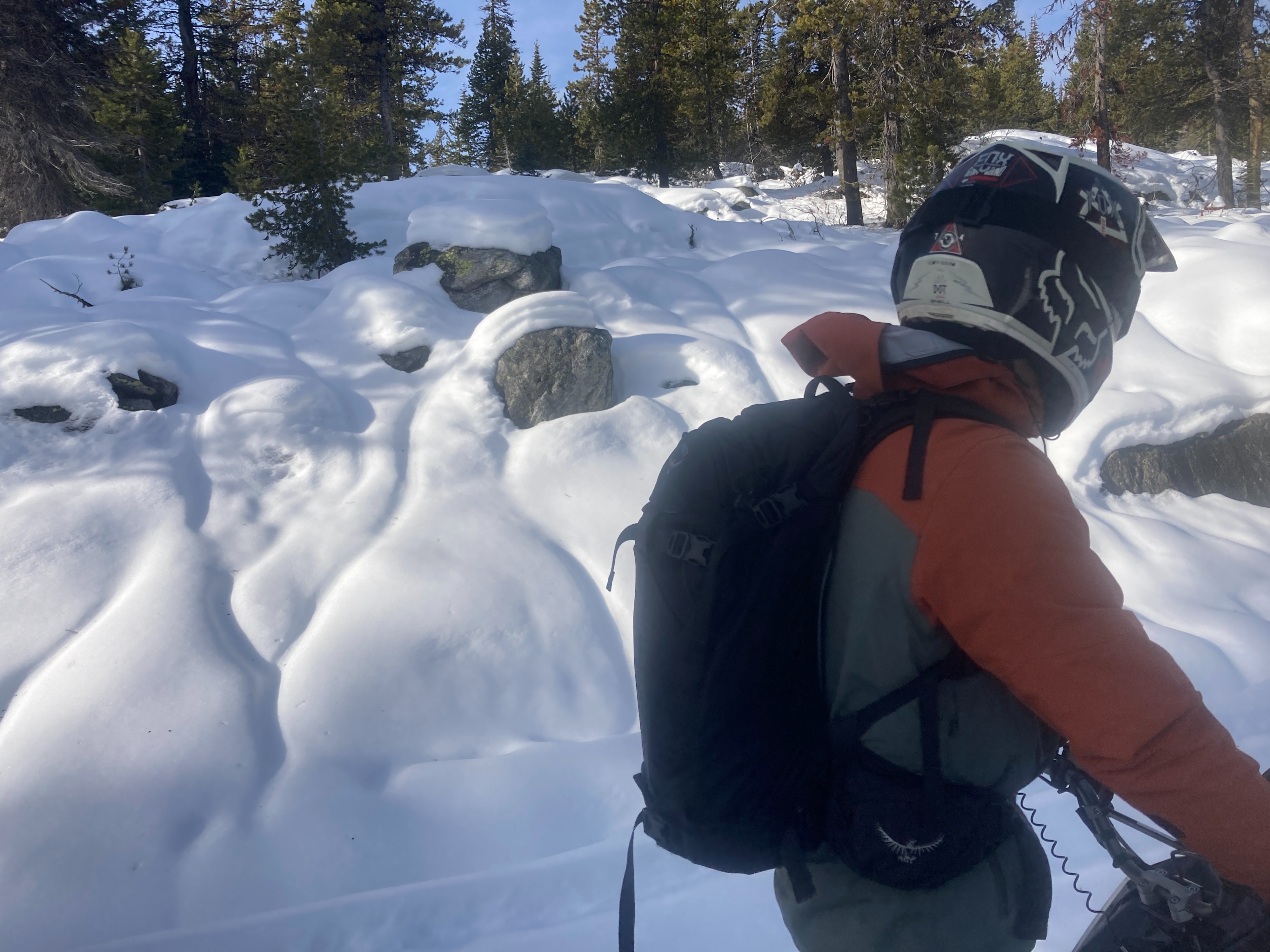
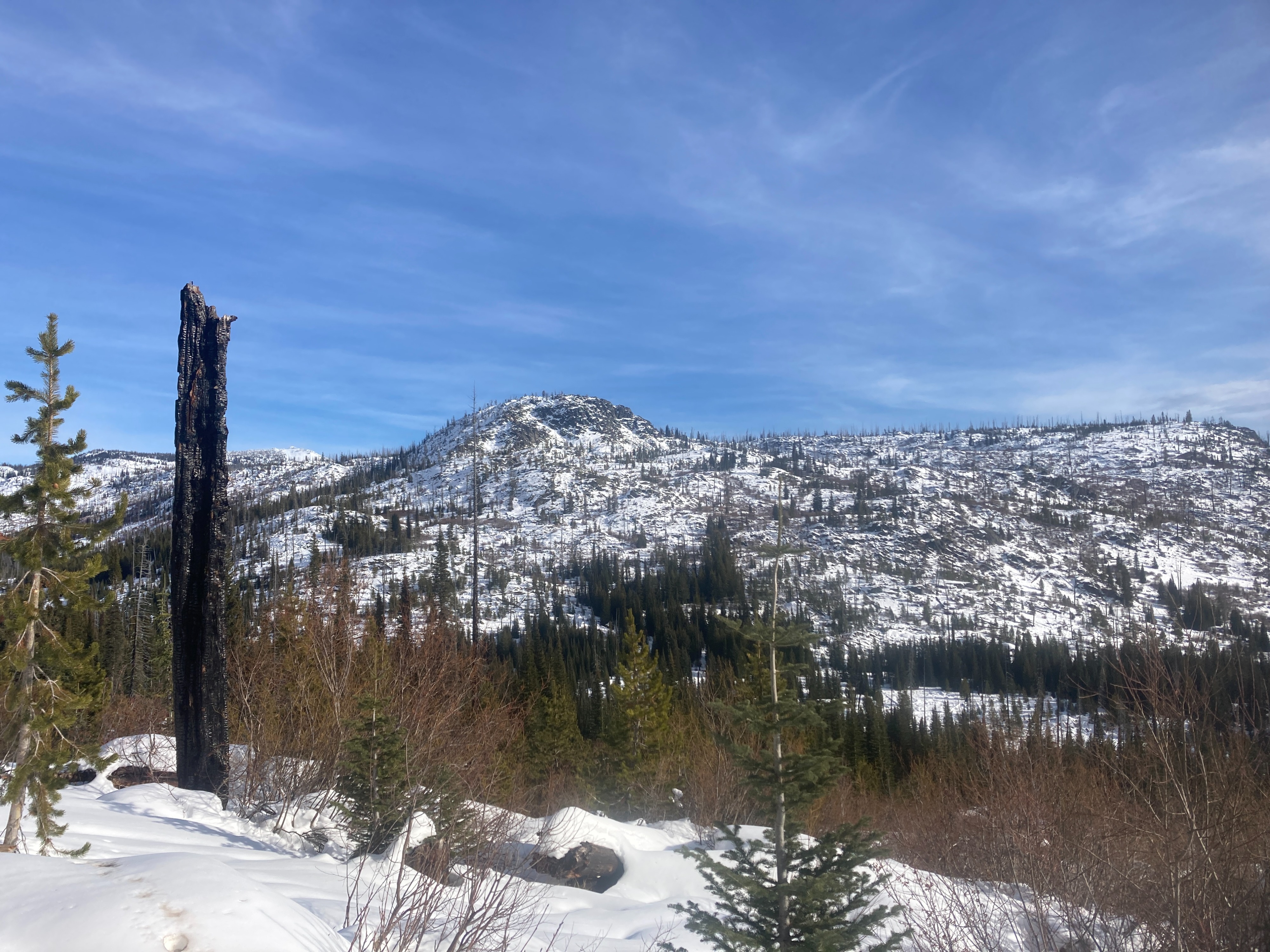
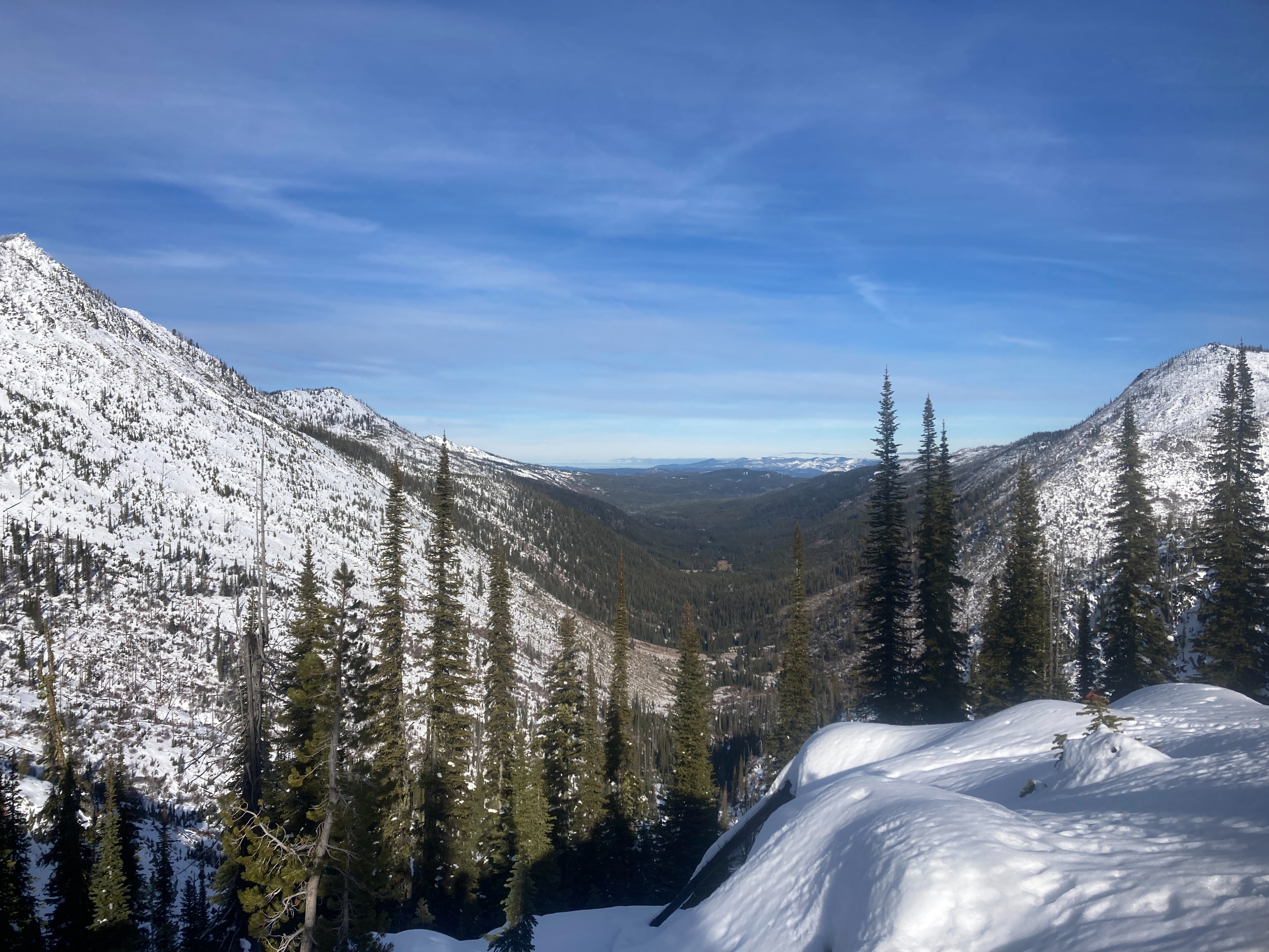
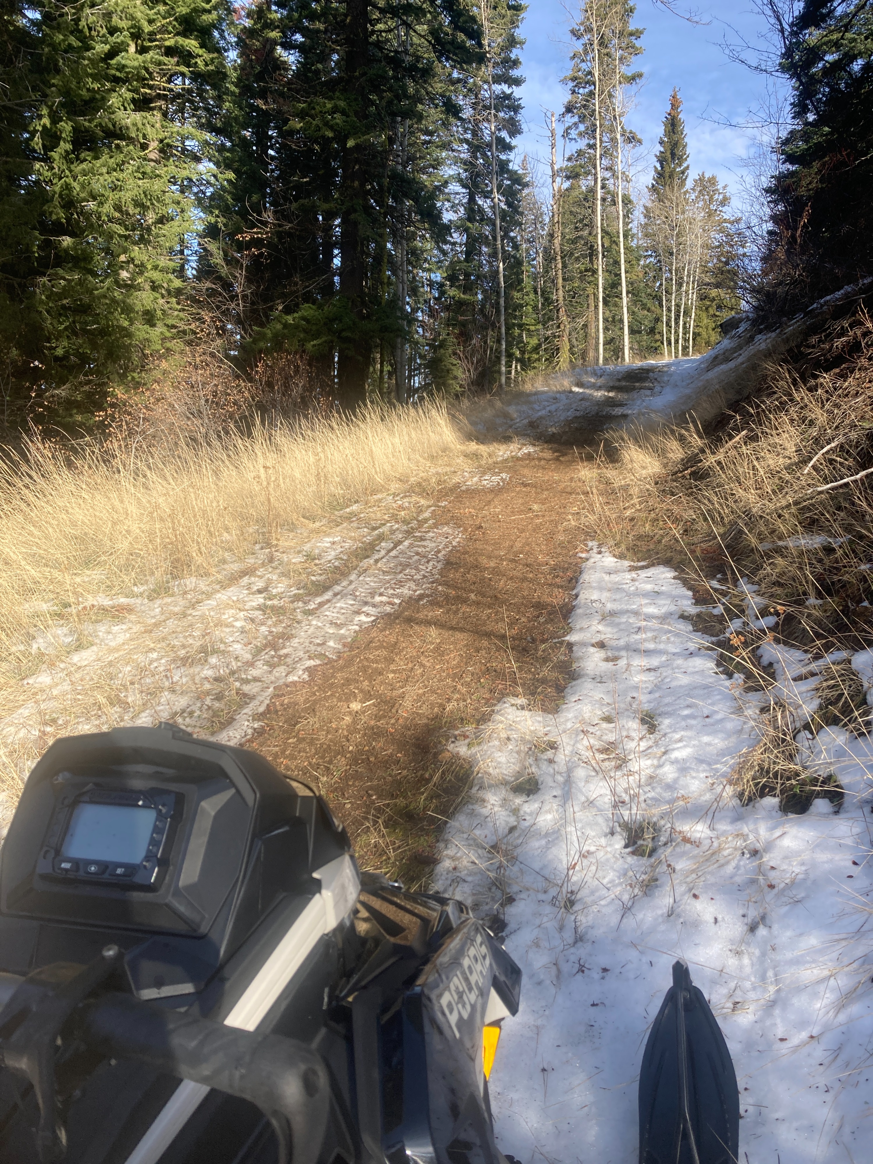
The mountain snowpack was significantly impacted by the recent atmospheric river this week. Rain runnels were evident above 7000'. Open water was flowing in ditches alongside the road. Rain/snow levels appeared to have gone above 8000'. The lack of coverage throughout the mountains is noteworthy.
No signs of instability noted during our outing.Weather
- Air Temp
- 34
- Cloud Cover
- few
- Wind Loading
- none
- Rain Elevation
- 8300
- Recent Snowfall
- 20-30
- Snow Avail For Transport
- none
The 12th of December felt more like the 12th of May. Temperatures were very mild, mostly clear skies, with a warm southern breeze.
Snowpack
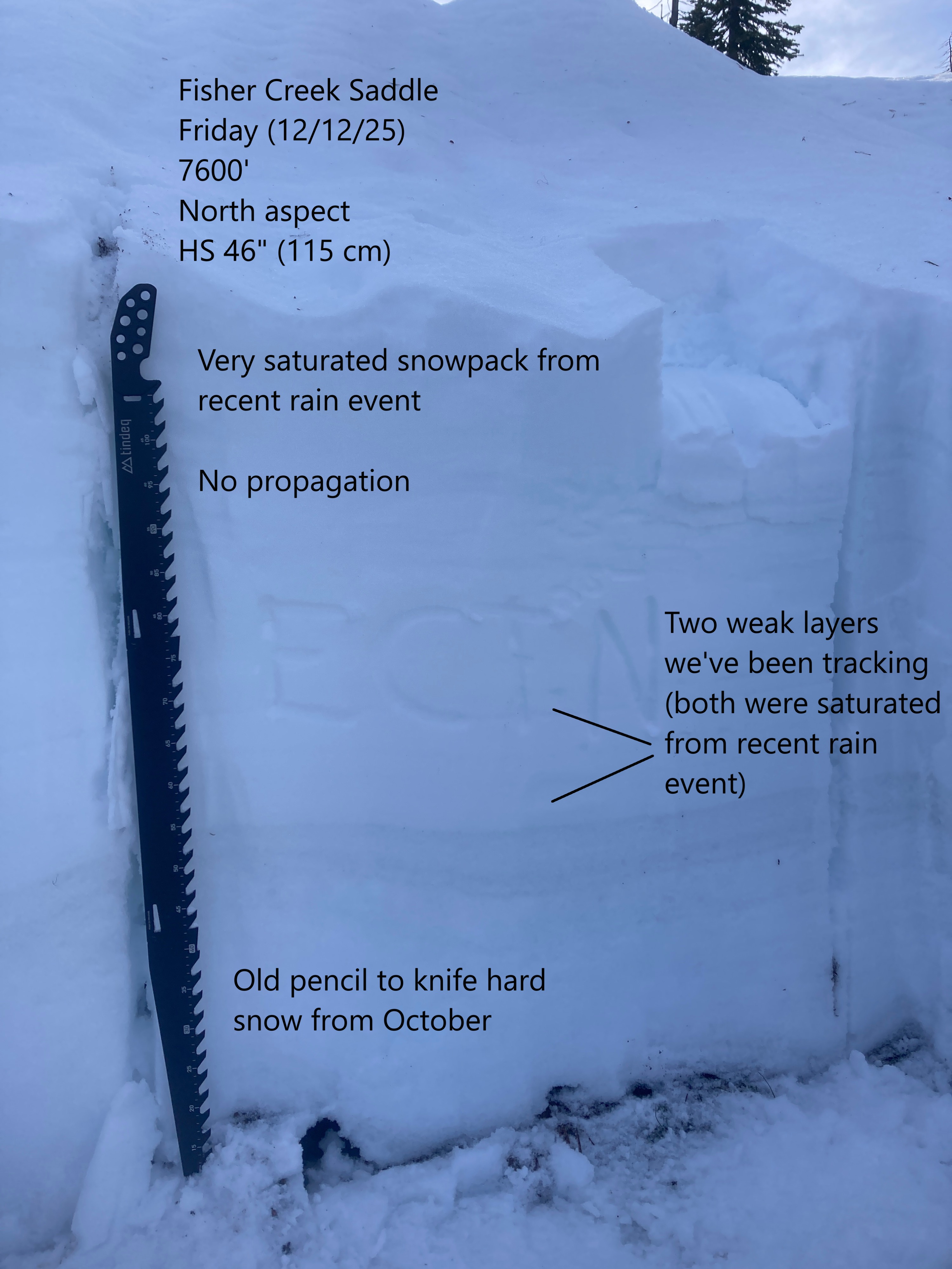
The snowpack has been saturated with several inches of water from this week's storm. Above 7500', we observed 6-12" of recent snowfall. We observed nearly four feet of settled snow on the ground at 7600'. Two weak layers we've been tracking were both saturated from recent event. No propagation observed in ECT. Above 8000', these weak layers may still be dry and could remain a concern.