
Quick report
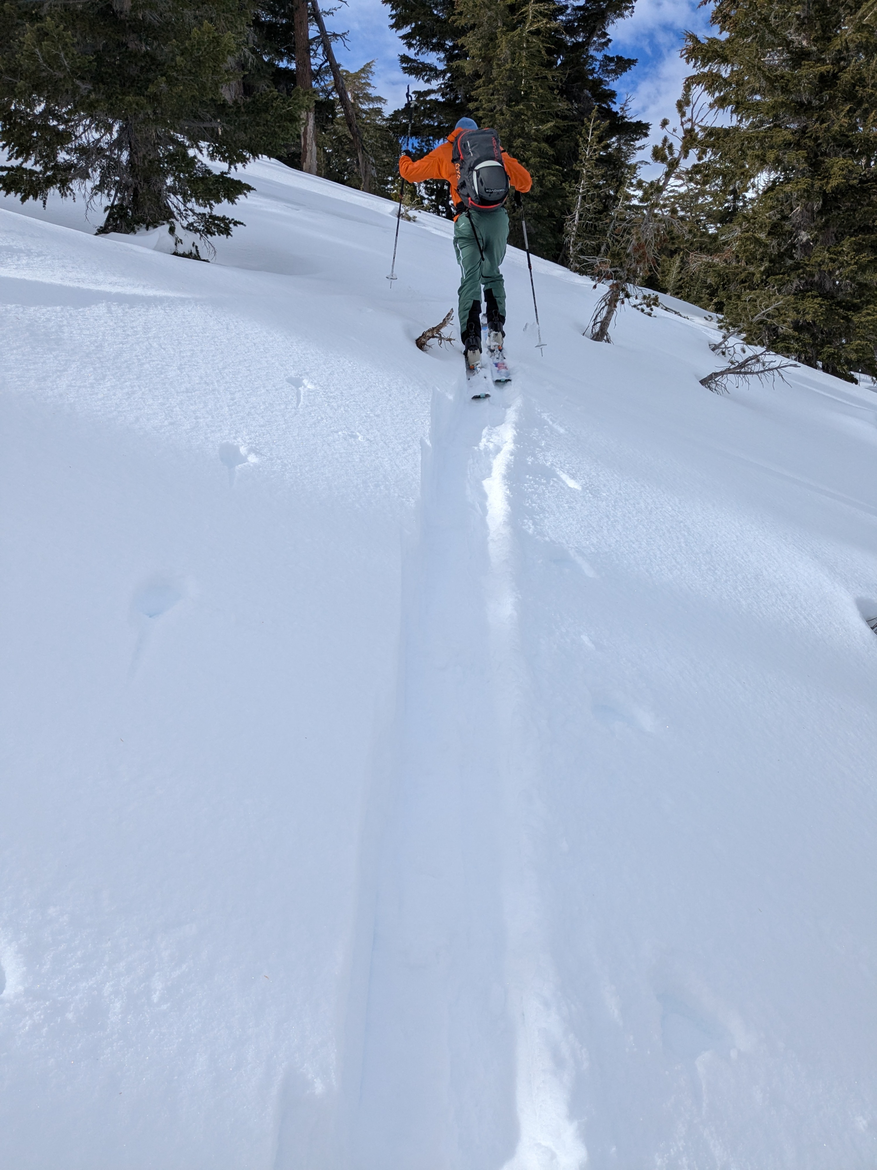
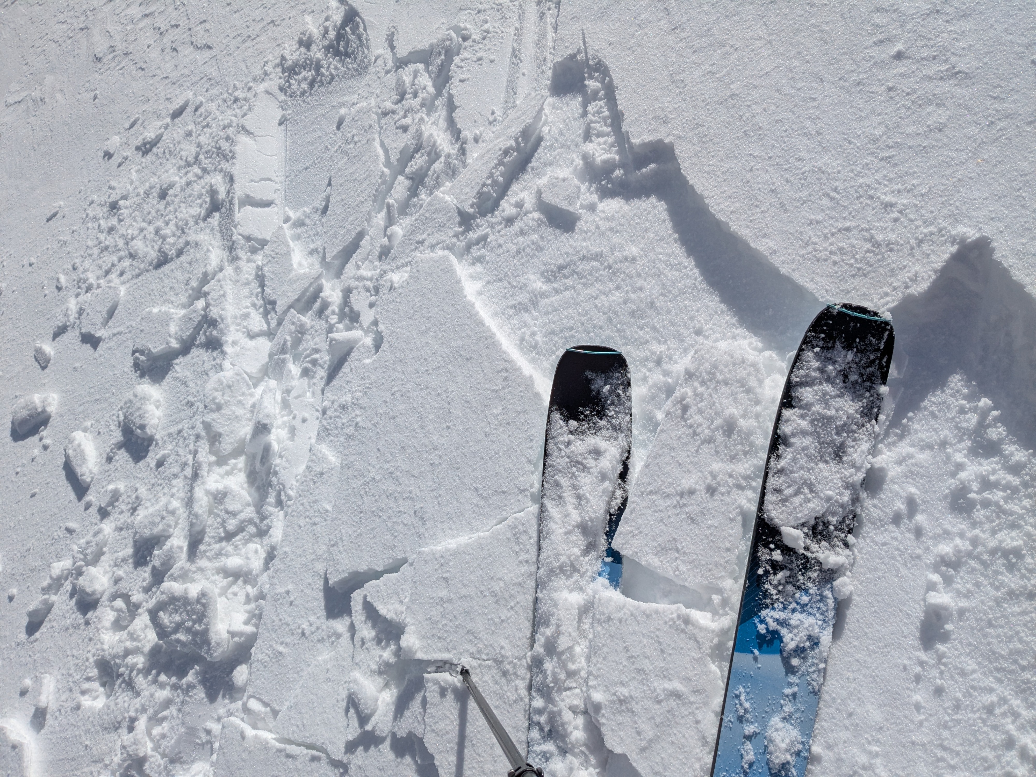
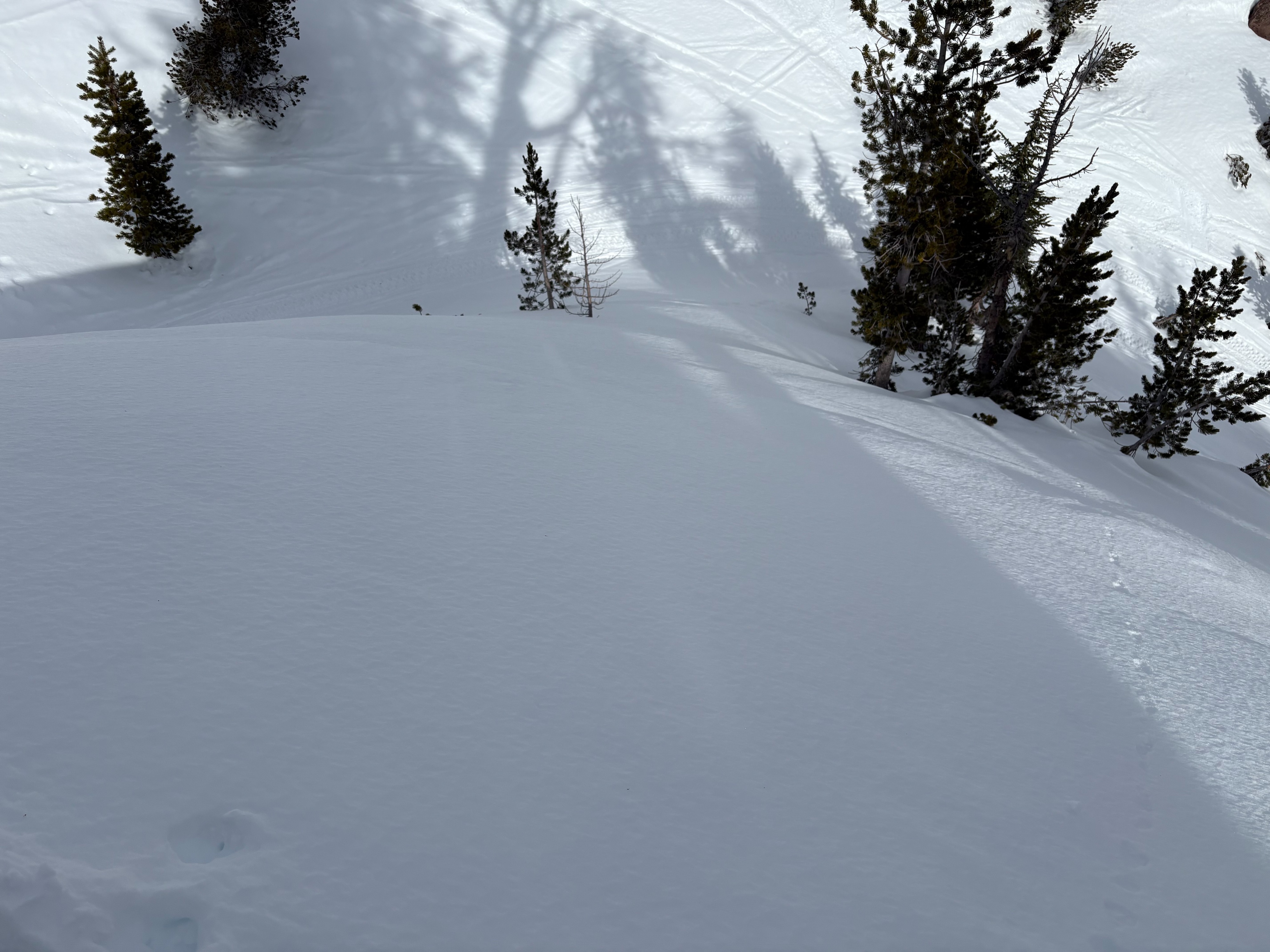
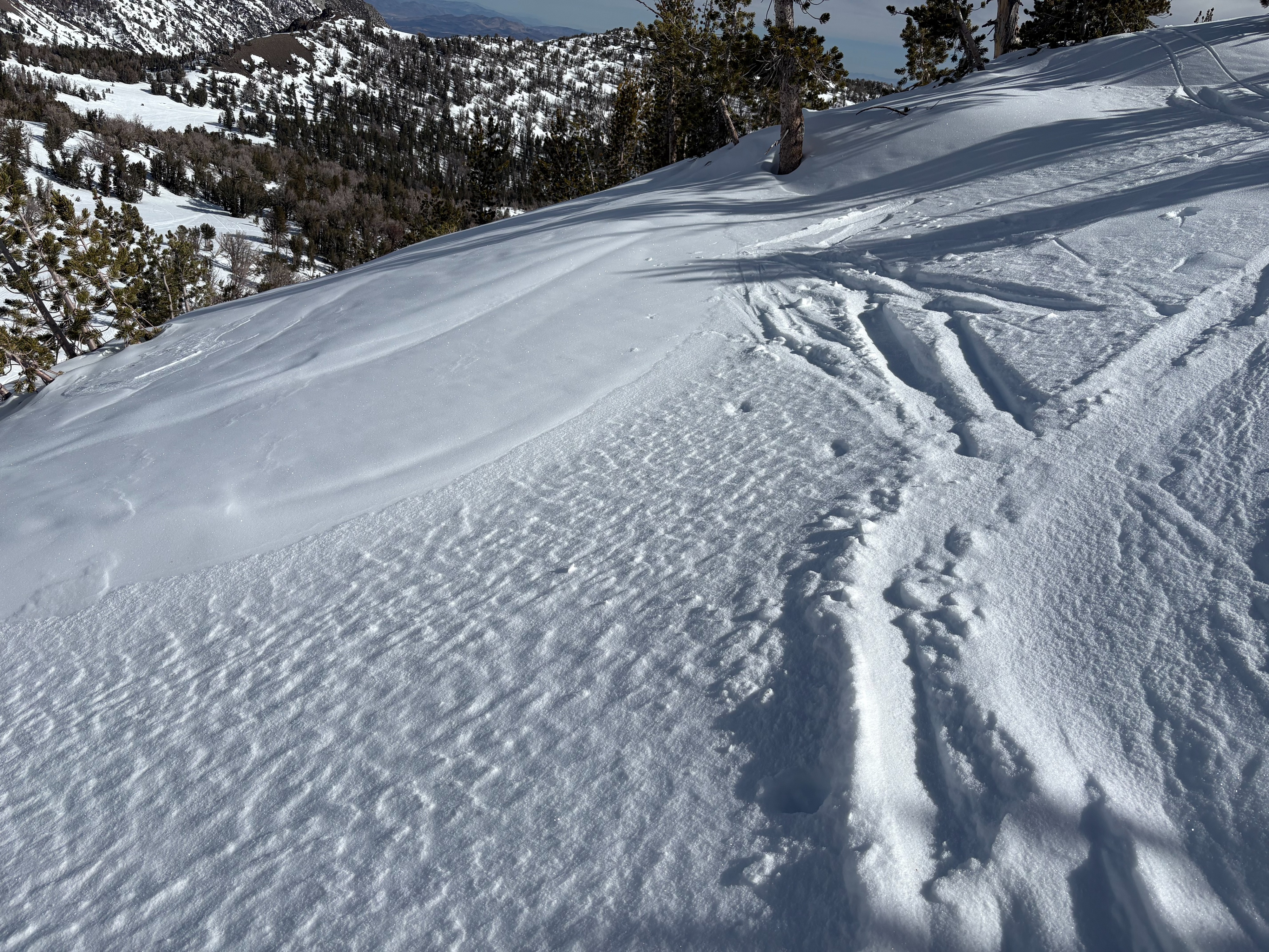
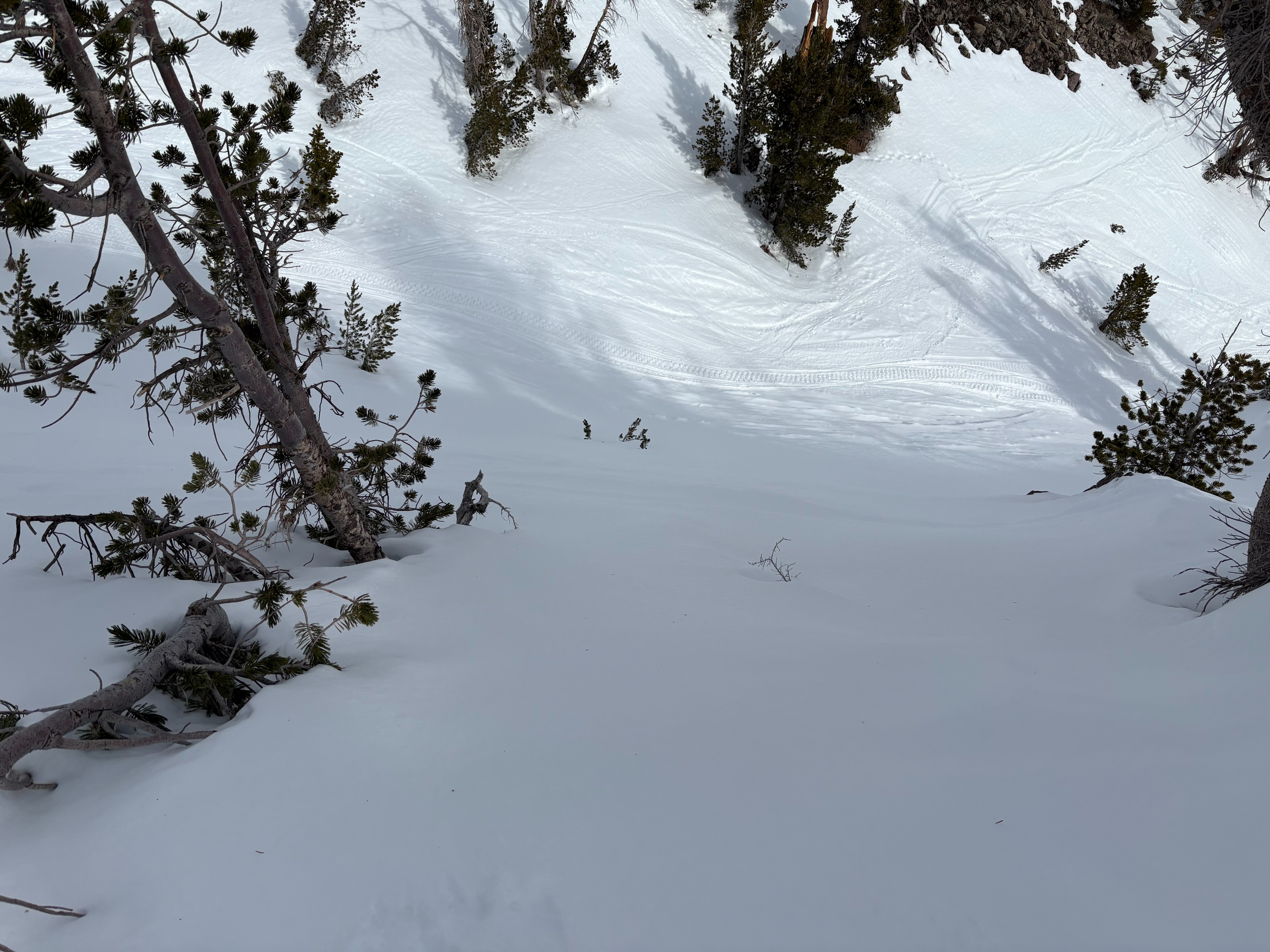
We went to Relay Peak today to look at snow surface conditions before a change in the weather occurs with storms expected for our area. A 1/2 inch of new snow was found from the Friday afternoon/evening storm with some small wind drifted snow in wind exposed areas. Near surface faceted snow existed on NW-N-NE aspects throughout this area. Wind protected shaded areas had the most consistent and well developed near surface facets with a layer around 4-6 inches deep. In wind exposed locations, conditions were more variable with areas of soft near surface facets mixed with areas of wind scoured and firm snow conditions. As storms deposit new snow and where slabs of new snow form on top of these near surface facets, avalanches could occur.
Southerly aspects had soft wet spring snow by 11:30am from our high point near 10,000'. Conditions were smooth with good melt freeze conditions. Coverage on these southerly aspects continues to decrease quickly with limited snow available.
Weather
- Air Temp
- Above freezing
- Cloud Cover
- scattered
- Wind Loading
- light
- Recent Snowfall
- 0
- Snow Avail For Transport
- small smounts
Mostly sunny conditions this morning with increasing clouds throughout the day. Temperatures were mild with increasing SW winds.