
Quick report
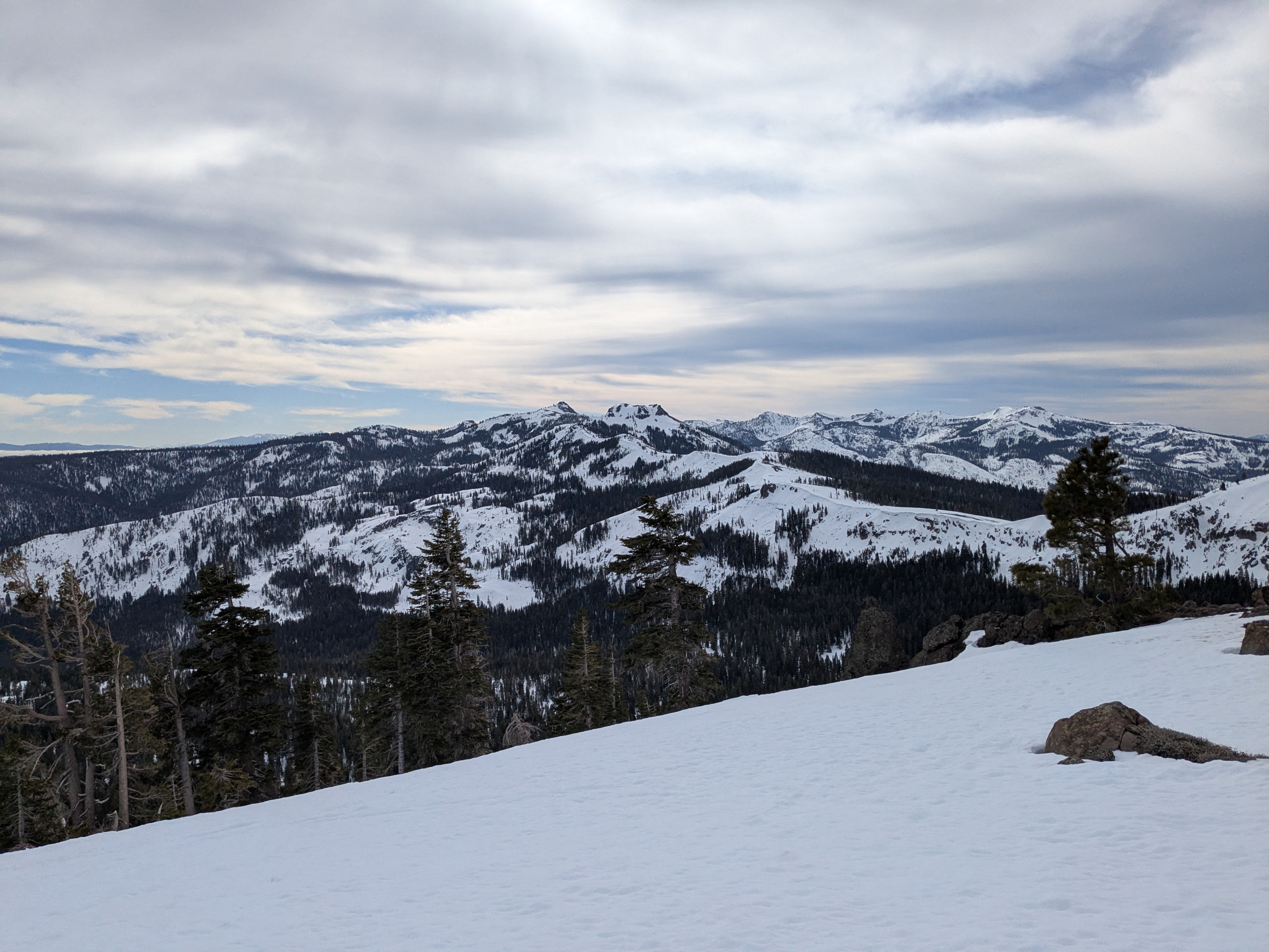
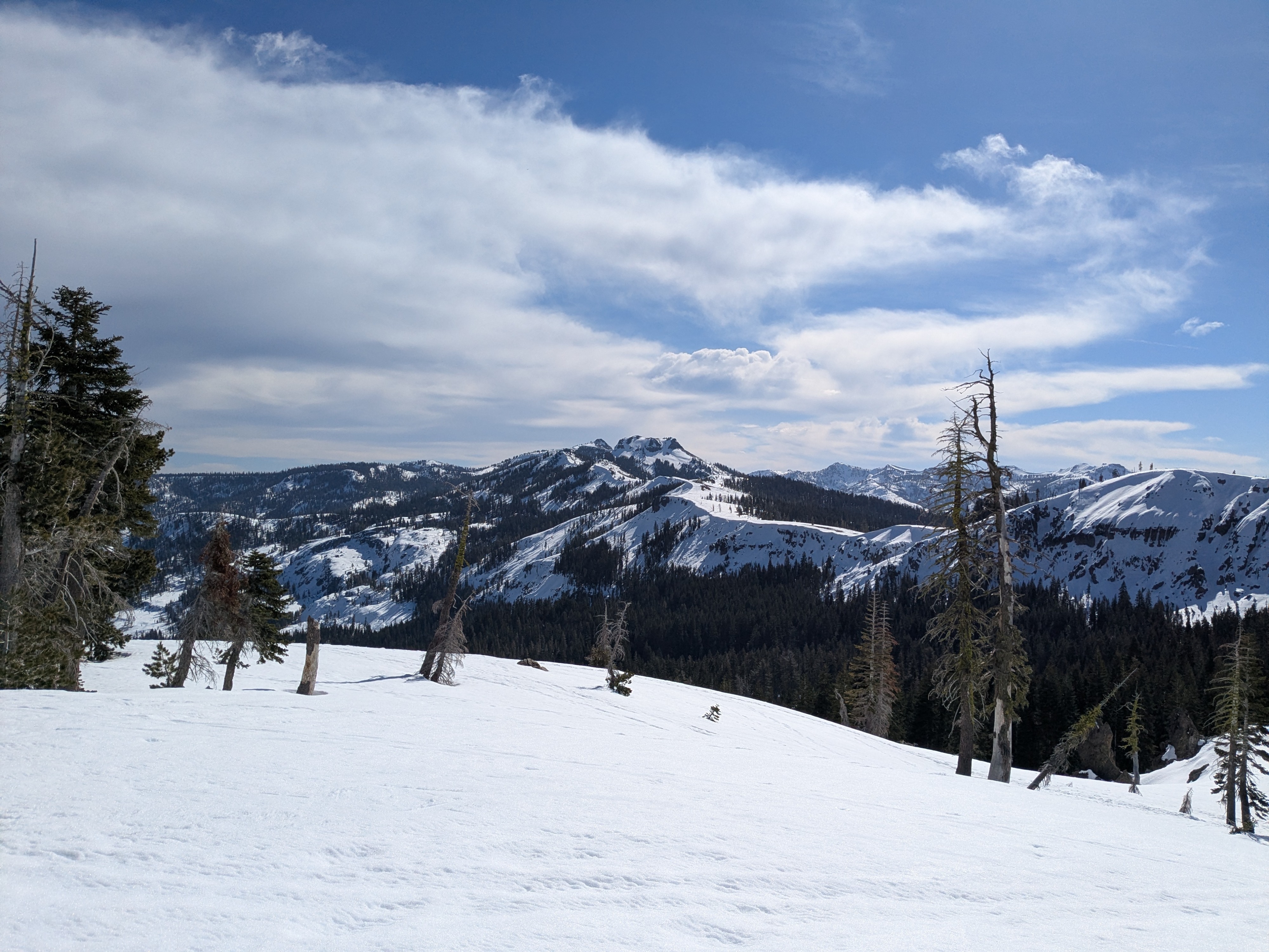
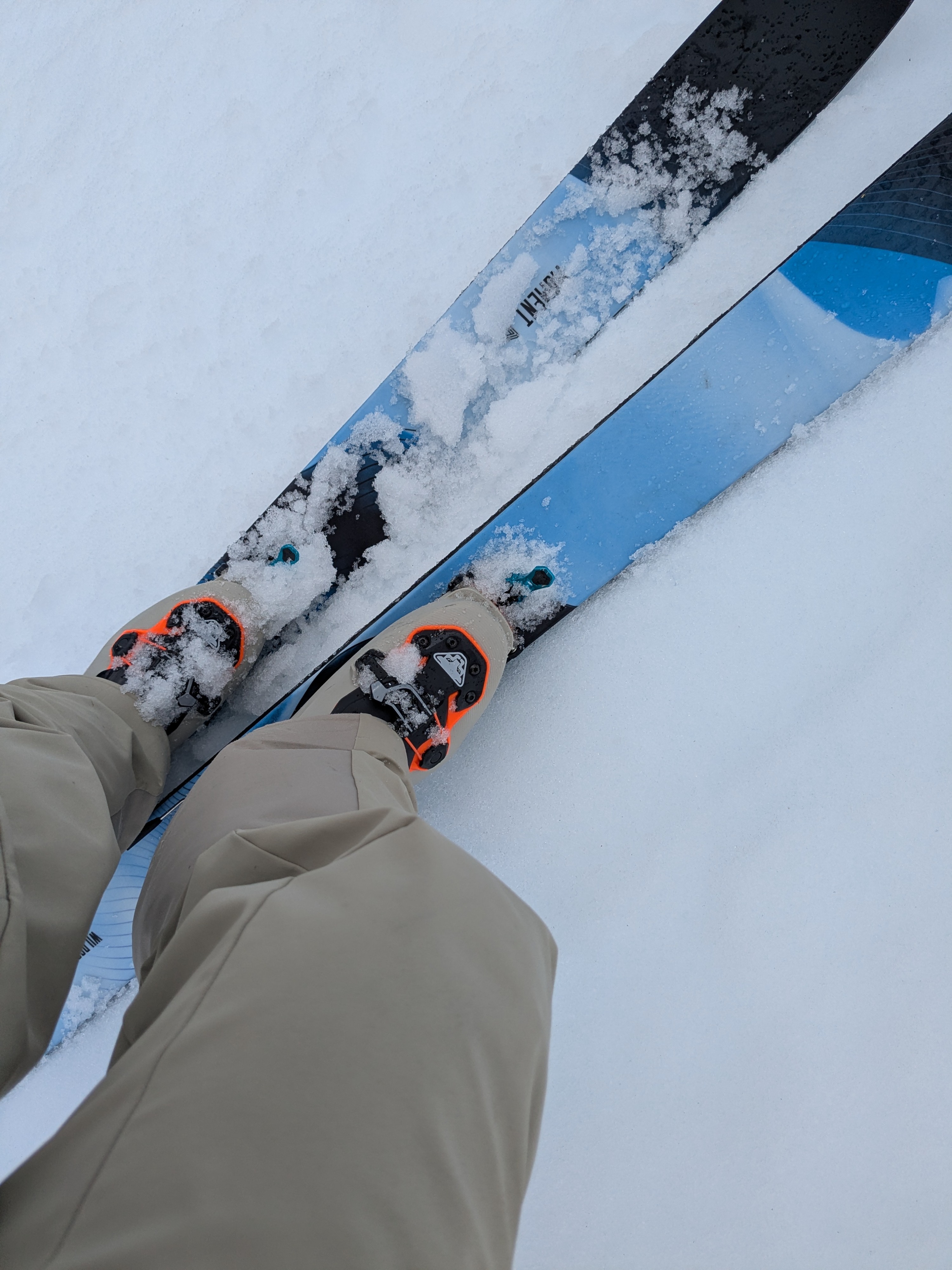
We toured on Mt. Judah today, covering W-NW-N and SE-S-SW aspect terrain. Cloud cover was more than forecast over the Sierra Crest in the northern portion of the forecast area during the morning hours. Mid level cloud cover, thick enough to eliminate shadows, moved in after 8 am and did not move off to the east of the Sierra Crest until midday. Air temperature inversion, above freezing conditions and a short period of direct solar input prior to 8 am helped to get snow surface melt started this morning. Air temps in the low 40s allowed for 1 inch of snow surface melt on solar aspects by 10:45-11am. The rate of change in the amount of wet surface snow was minimal until cloud cover moved off to the east of the area and solar input increased as skies overhead cleared.
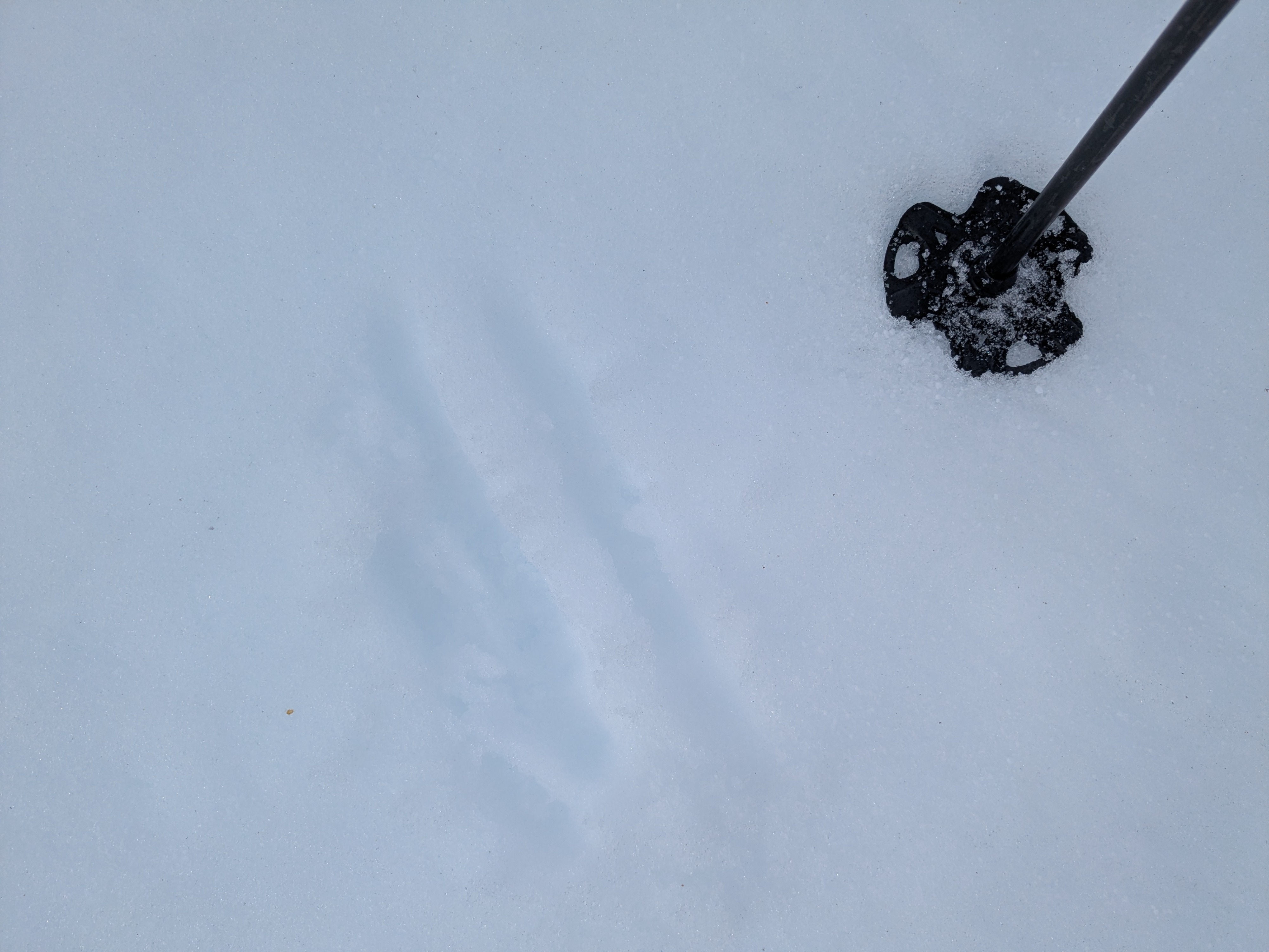
Northerly aspects held 0.5 to 1.5 inches of supportable crust that ranged from 4F to 1F hard. These aspects remained frozen at 12:30 pm.
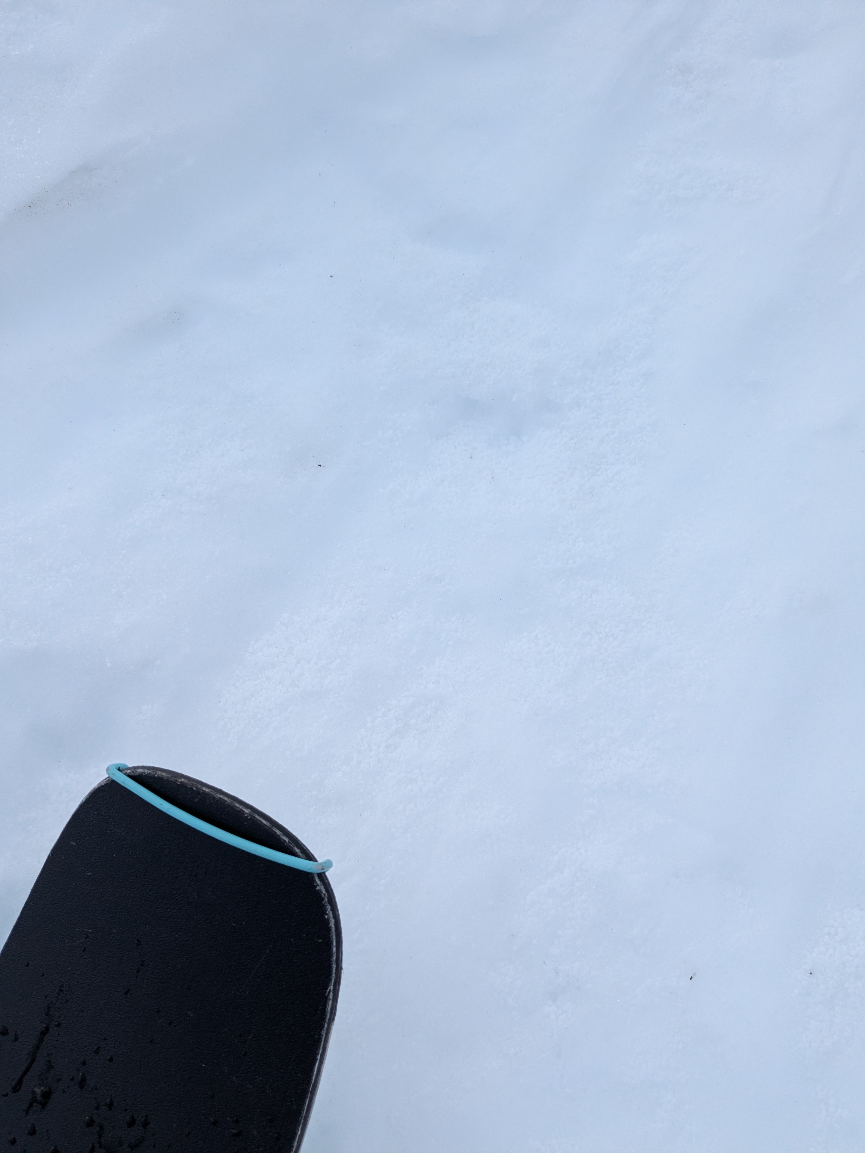
There was a faint trace of new snow from yesterday in the form of graupel at 8,000'.
Weather
- Air Temp
- 40
- Cloud Cover
- broken
Cloud cover increased after 8 am and decreased starting around noon.