
Quick report
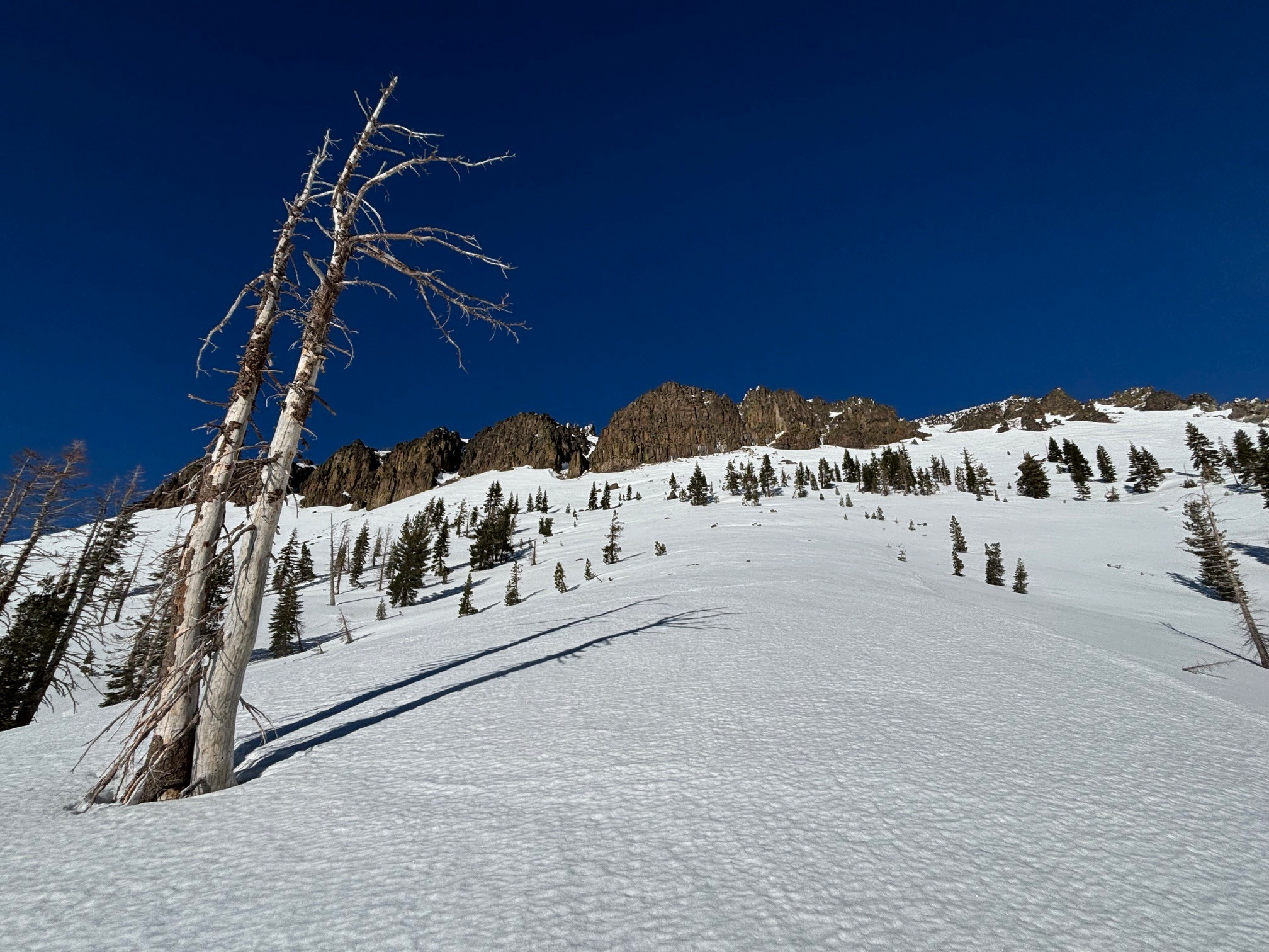
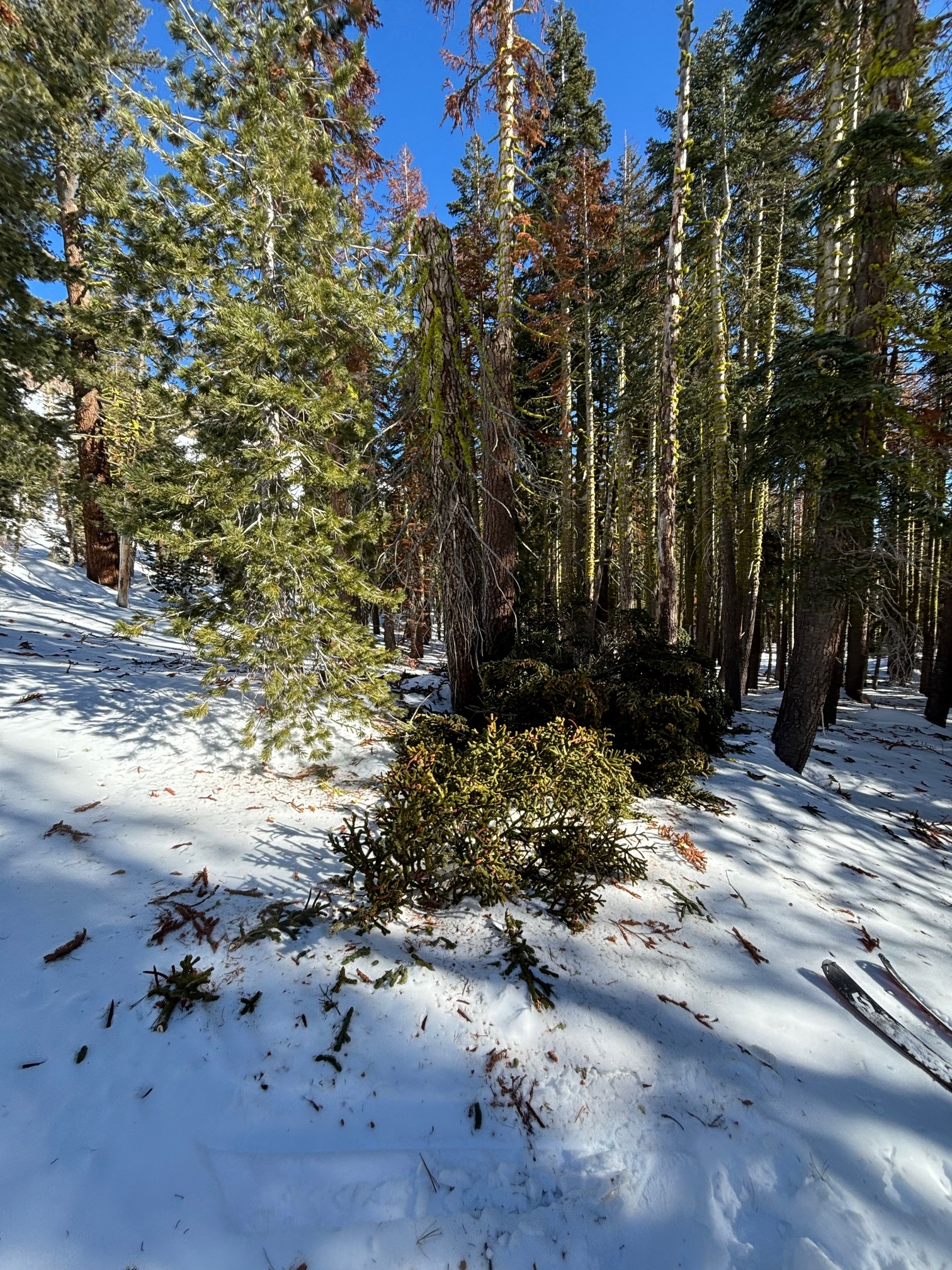
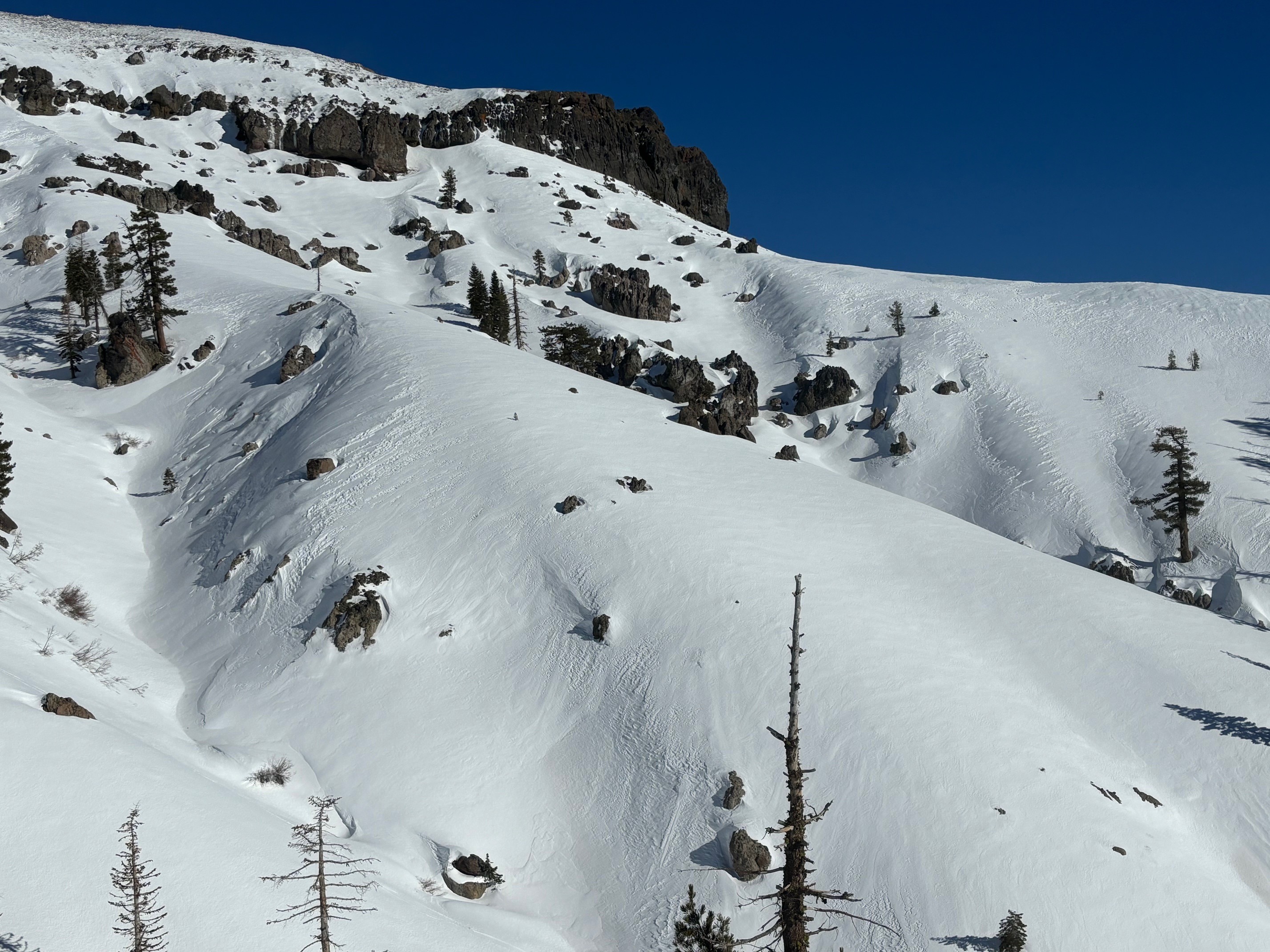
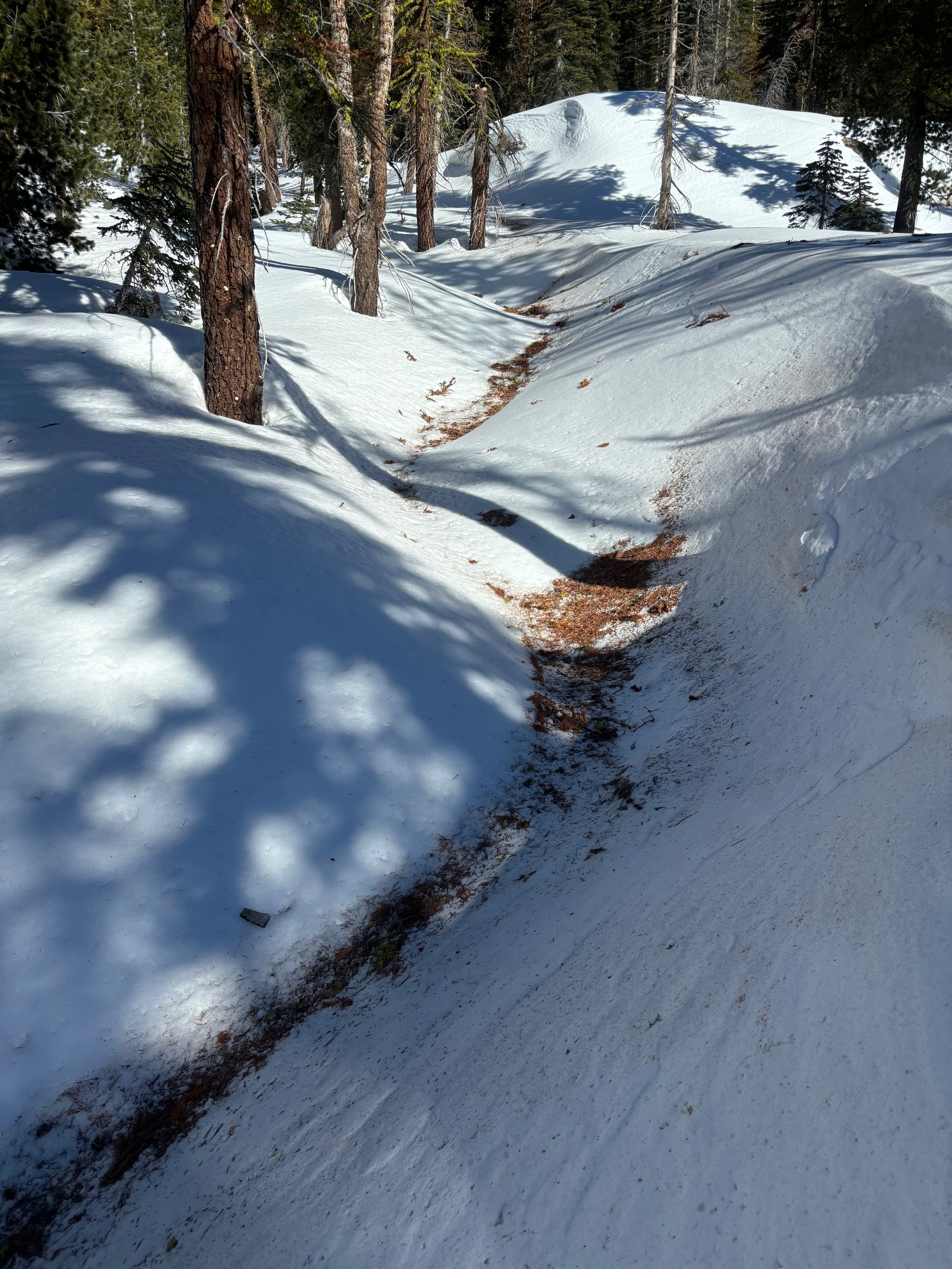
We looked at variety of aspects trying to find good skiing conditions. Our recent winds have effected the snowpack in all but the most sheltered areas below treeline. Many downed trees and tree debris is also a hazard in forested areas. Recent warm temps have also led to formation of melt freeze surfaces in solar aspects. We found pockets of soft snow in shaded, sheltered lower elevations, and a mix of melt freeze and wind scoured surfaces at higher elevations. These surfaces varied in supportability. SW aspects softened enough for a few decent turns by 2pm. Despite strong NE winds, we did not observe any blowing snow or observe any wind slabs on the W-SW-S aspects where we travelled.
Weather
- Cloud Cover
- clear
- Snow Avail For Transport
- small smounts
Strong NE winds appeared to die down around 2pm
Snowpack
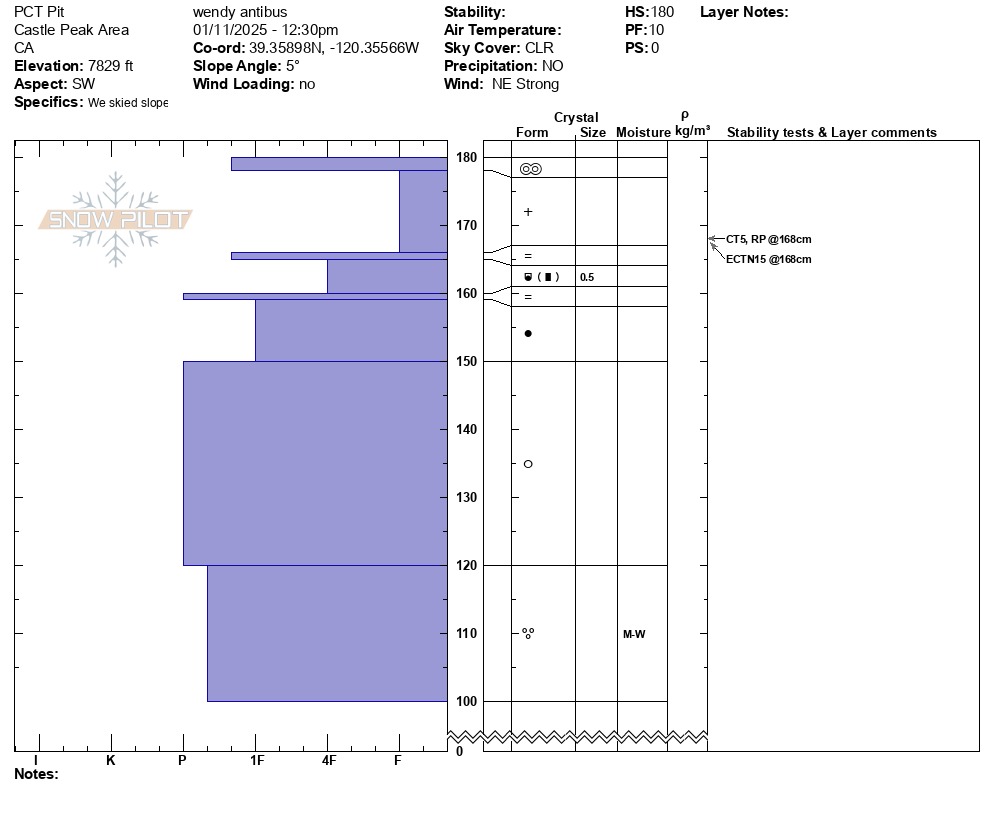
We dug a quick snow profile to look at the layering the upper snowpack. HS on this SW aspect ranged from 150-200cms. We found a melt-freeze crust at the surface with softer F hard snow underneath. There are several crusts in the upper snowpack but none of these layers produced concerning test results. 30cms down from the surface, the snowpack transitions to very strong melt forms.