
Quick report
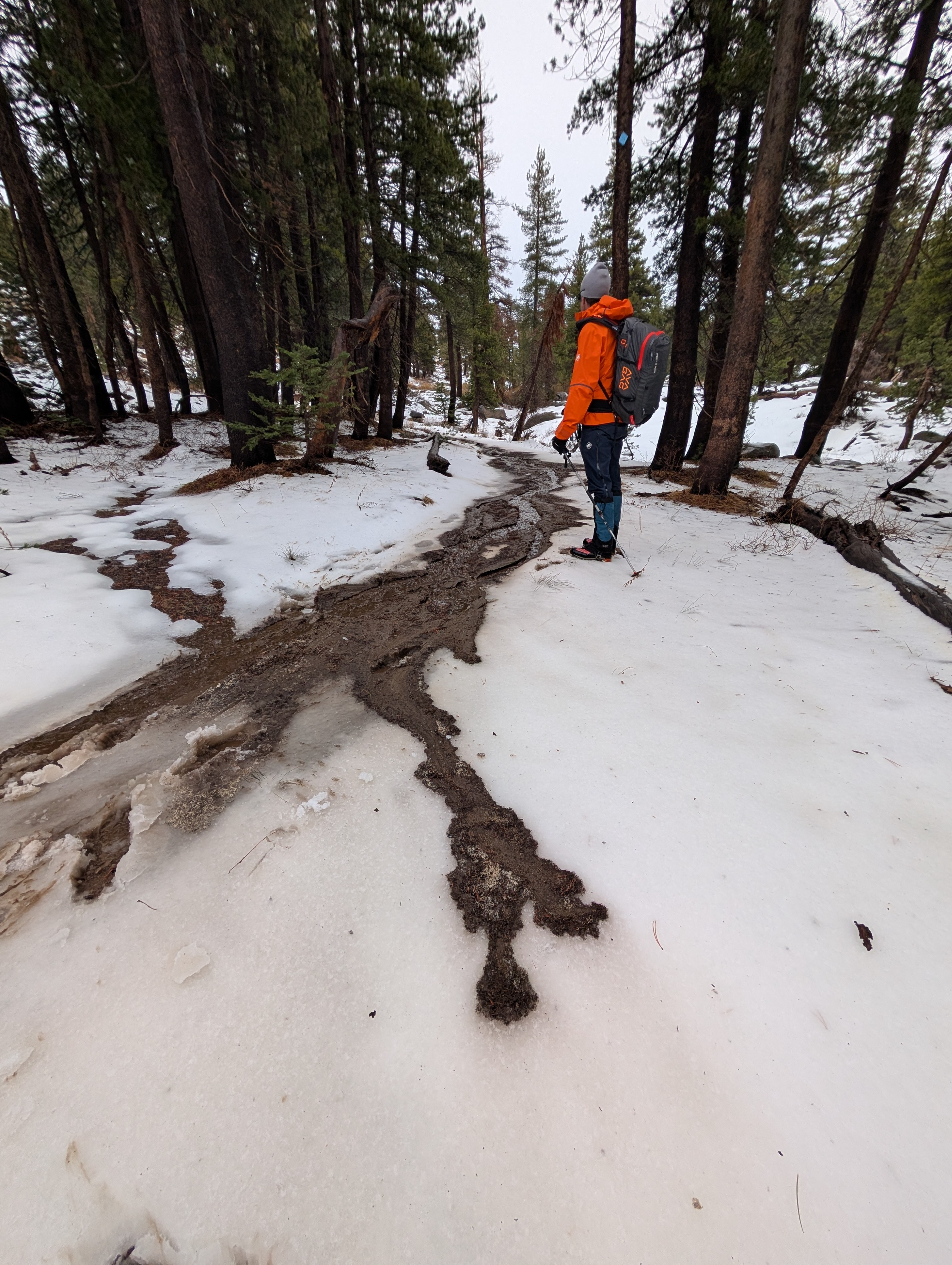
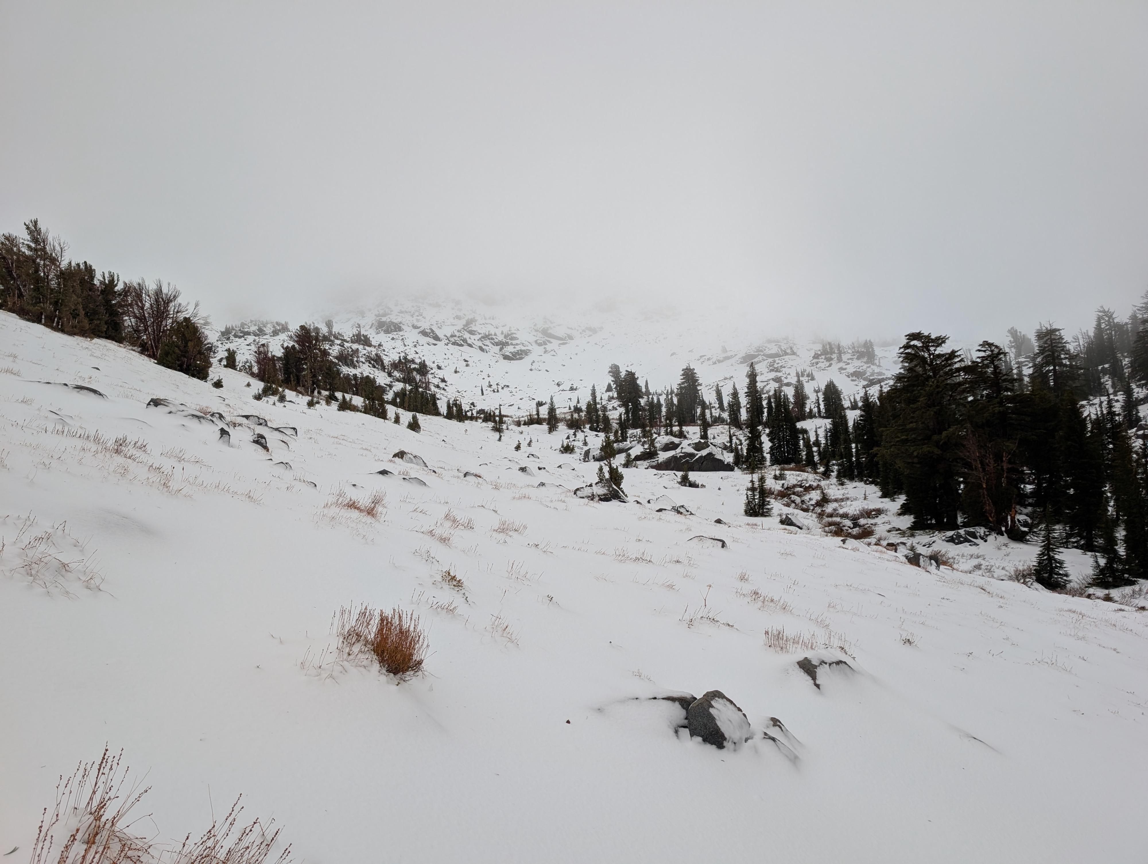
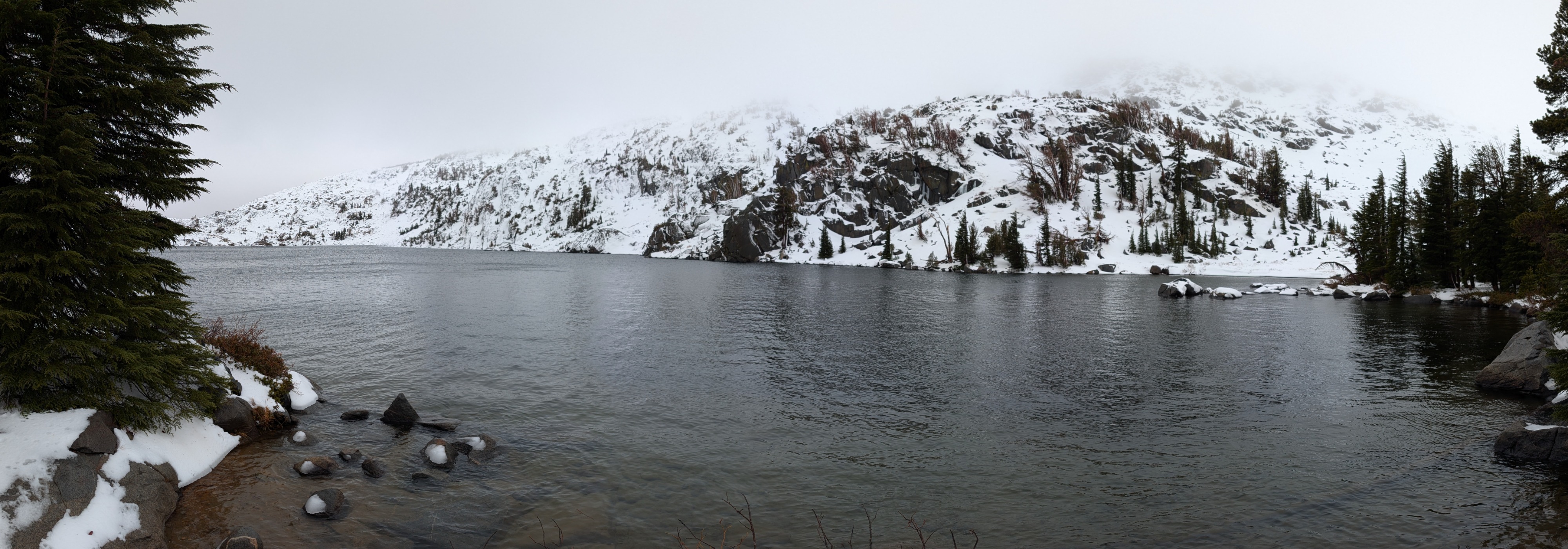
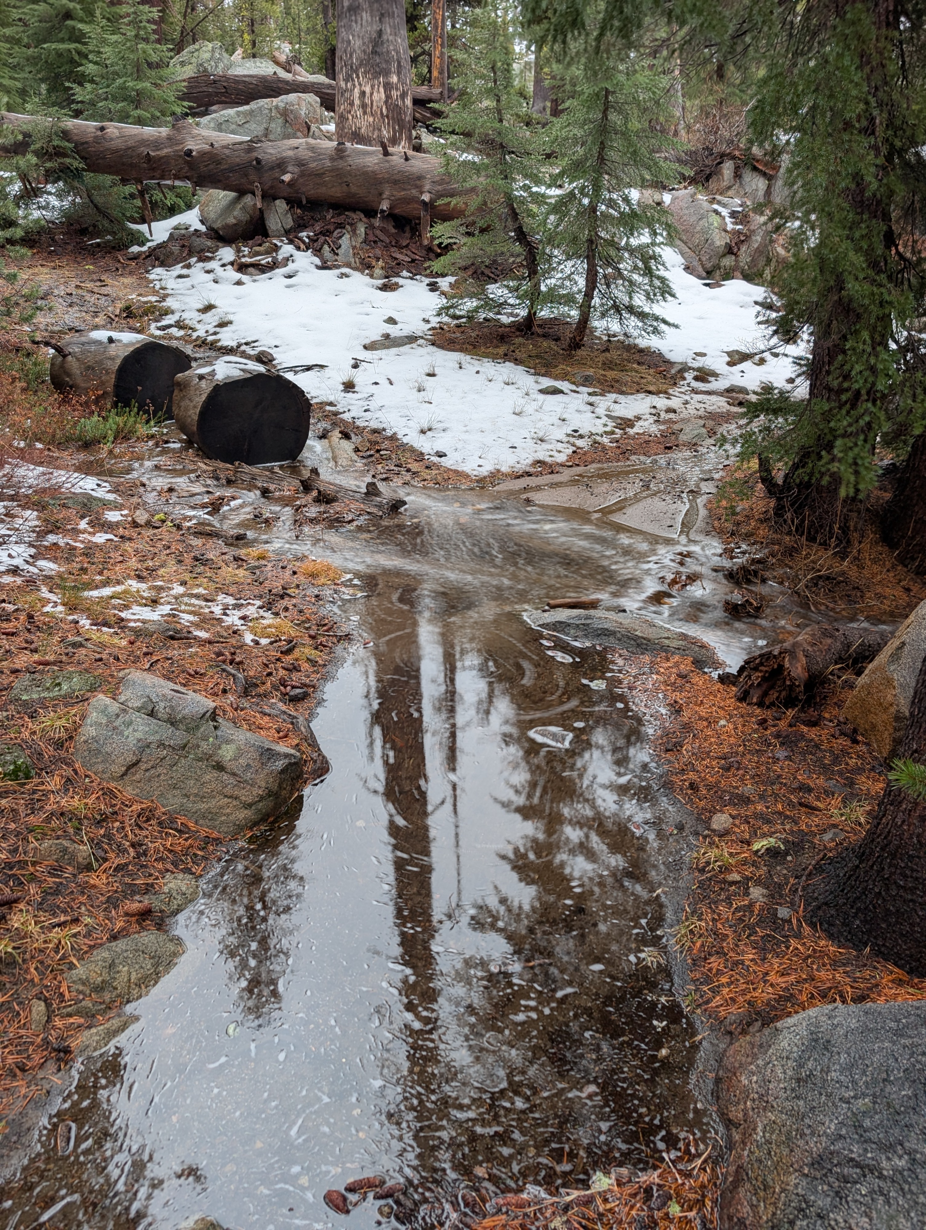
Driving down to Carson Pass in the rain, we noticed a swollen, muddy Truckee River, rushing water in all the smaller drainages, and a wide, raging Eagle Falls at Emerald Bay. We got to the Woods Lake Trailhead and started walking up a flooded trail with little to no snow on the ground below 8600ft. We found ourselves hopping across flowing creeks and dodging puddles in the trail up to this point. As we continued above 8600 ft, the snowpack grew steadily deeper on the N-facing aspects, reaching about 2 ft by 9200 ft. Even at these higher elevations, rain-soaked snow existed on the ground. Snowpit tests at around 9200 ft yielded unstable results (see the snowpack section for details). In some places, the dense, wet surface snow supported us, and in others, we post-holed deep into the snow. When this happened, our footprints quickly filled with water. Winneemucca Lake remains completely open.
Weather
- Air Temp
- 33
- Cloud Cover
- overcast
- Rain Elevation
- >9500 ft
- Recent Snowfall
- 4-10
- Snow Avail For Transport
- none
Heavy rain in Truckee and north of Tahoe City gradually transitioned to light rain by Emerald Bay. Strong winds, light rain, and above-freezing temperatures comprised the weather on Carson Pass near Round Top.
Snowpack
Above 8600 ft on N aspects where a snowpack existed, it ranged from 1 to 2 ft deep. Rain has permeated through the entire snowpack, and wet snow exists from top to bottom. Still, some layering remained: denser, wetter snow and crusts in the upper third of the snowpack, softer, weaker snow in the middle third, and crusts in the lower third. Snowpit tests resulted in sudden failures below the dense upper layer on top of the softer, weaker snow (ECTP 11 and CT 11 SC). This layer was once facets, but it is now loose, wet snow.