
Quick report
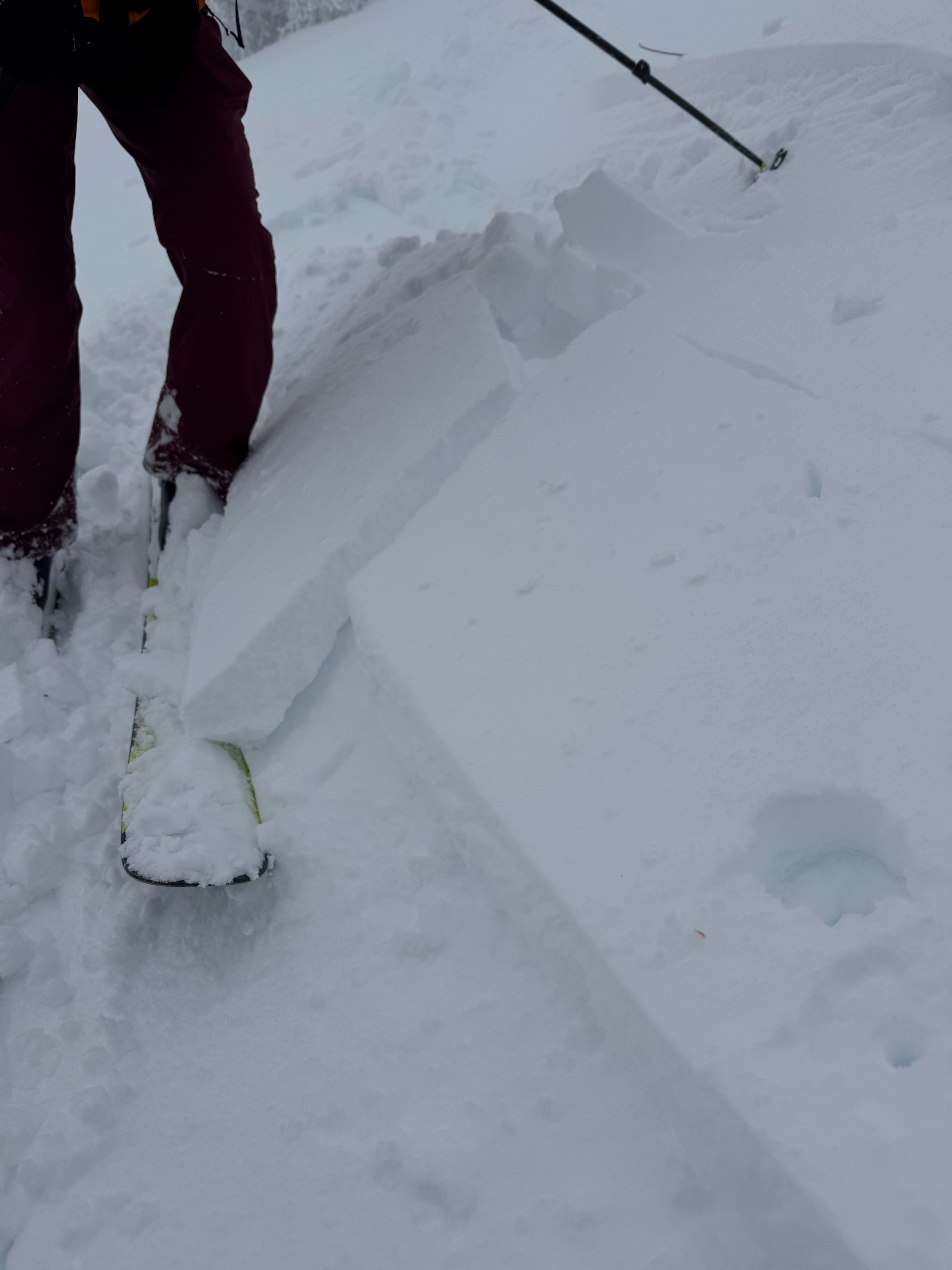
- Cracking
- isolated
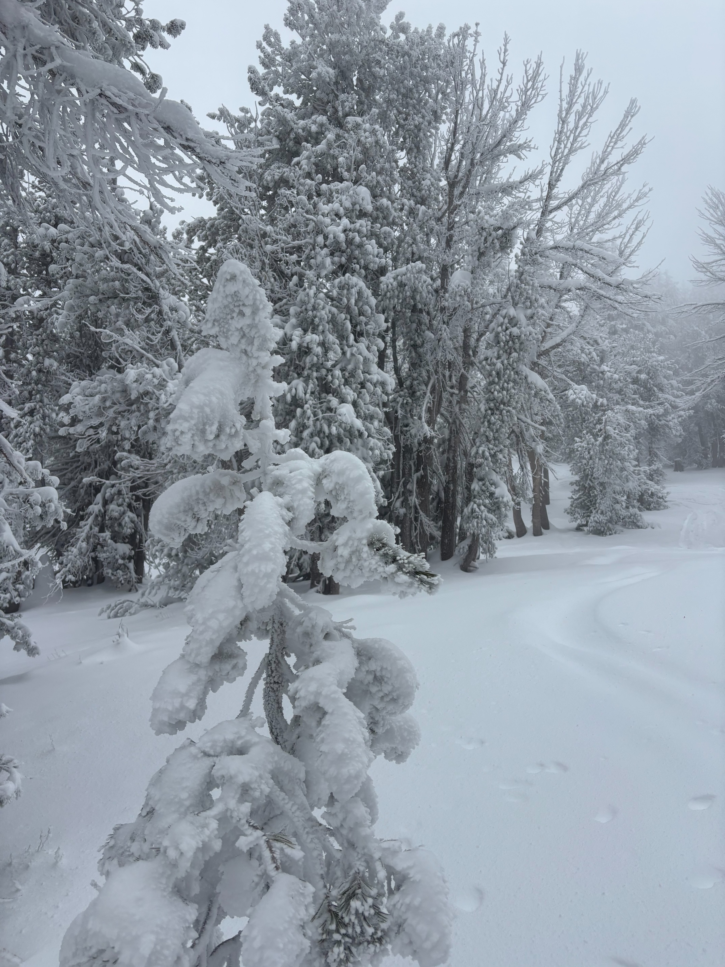
Thick cloud cover and poor visibility in the morning with some clearing after noon. Cloud cover and humidity made the upper snowpack feel wetter and heavier than expected, given the below freezing temps. Moderate E winds on the ridgetop with signs of wind transport of new snow and some scouring of E aspects at upper elevations. Thick rime was observed on trees and the snow surface, particularly at upper elevations. We observed some localized cracking of the top 10-15 cms in areas where E winds had transported new snow. No other signs of instability noted. areas of localized cracking where wind transported snow exists
Weather
- Cloud Cover
- obscured
- Wind Loading
- light
- Snow Avail For Transport
- small smounts
Snowpack
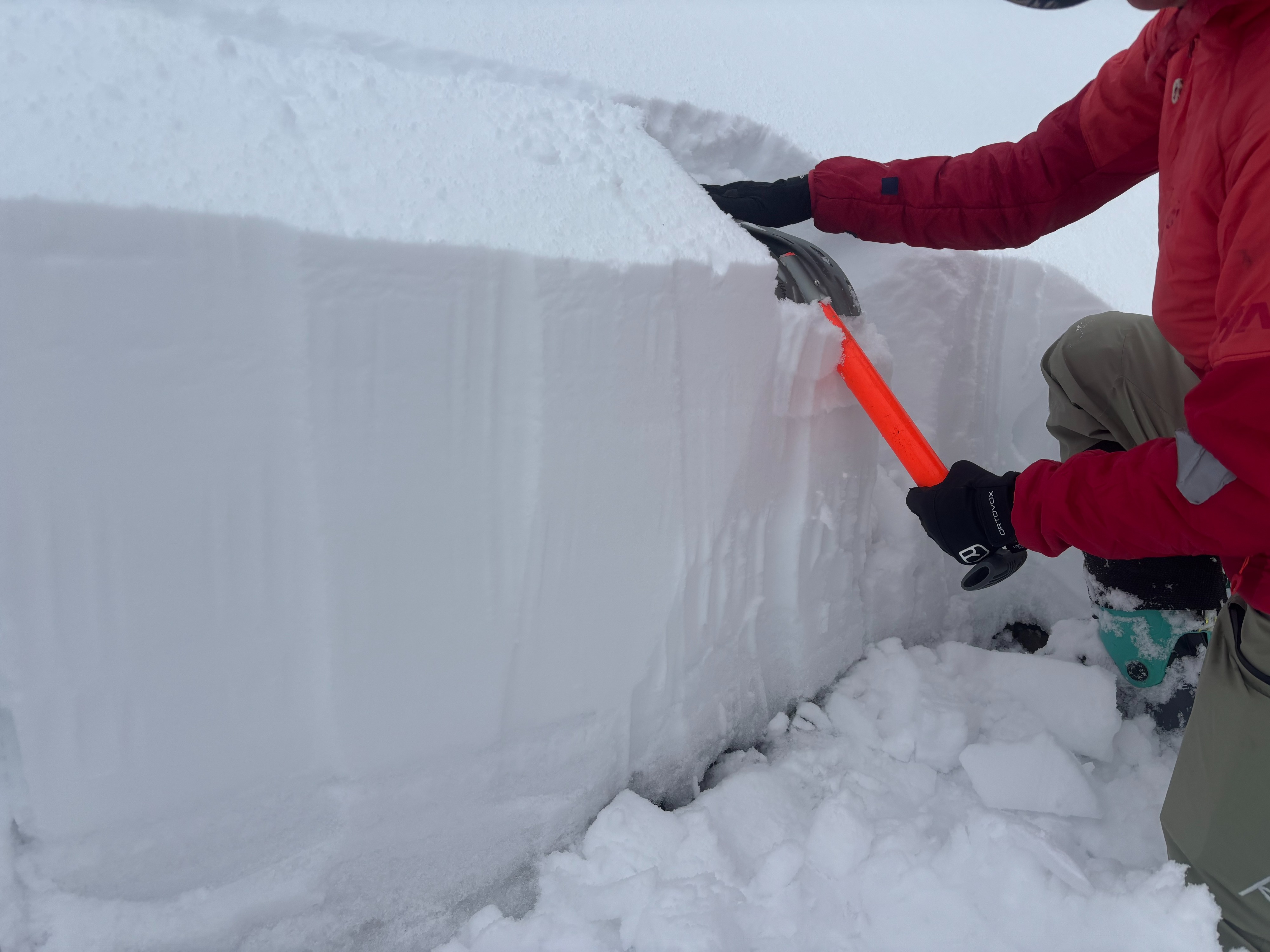
50-60 cms of snow on NE aspect at 9400'. 40cms of recent snow on top of 10-15 cms of P hard melt forms. There were several density changes in the recent snow, but none that appeared concerning. New snow was mostly right side up and well bonded to ice layer below. Performed a quick ECT at this location with no significant results.