
Quick report
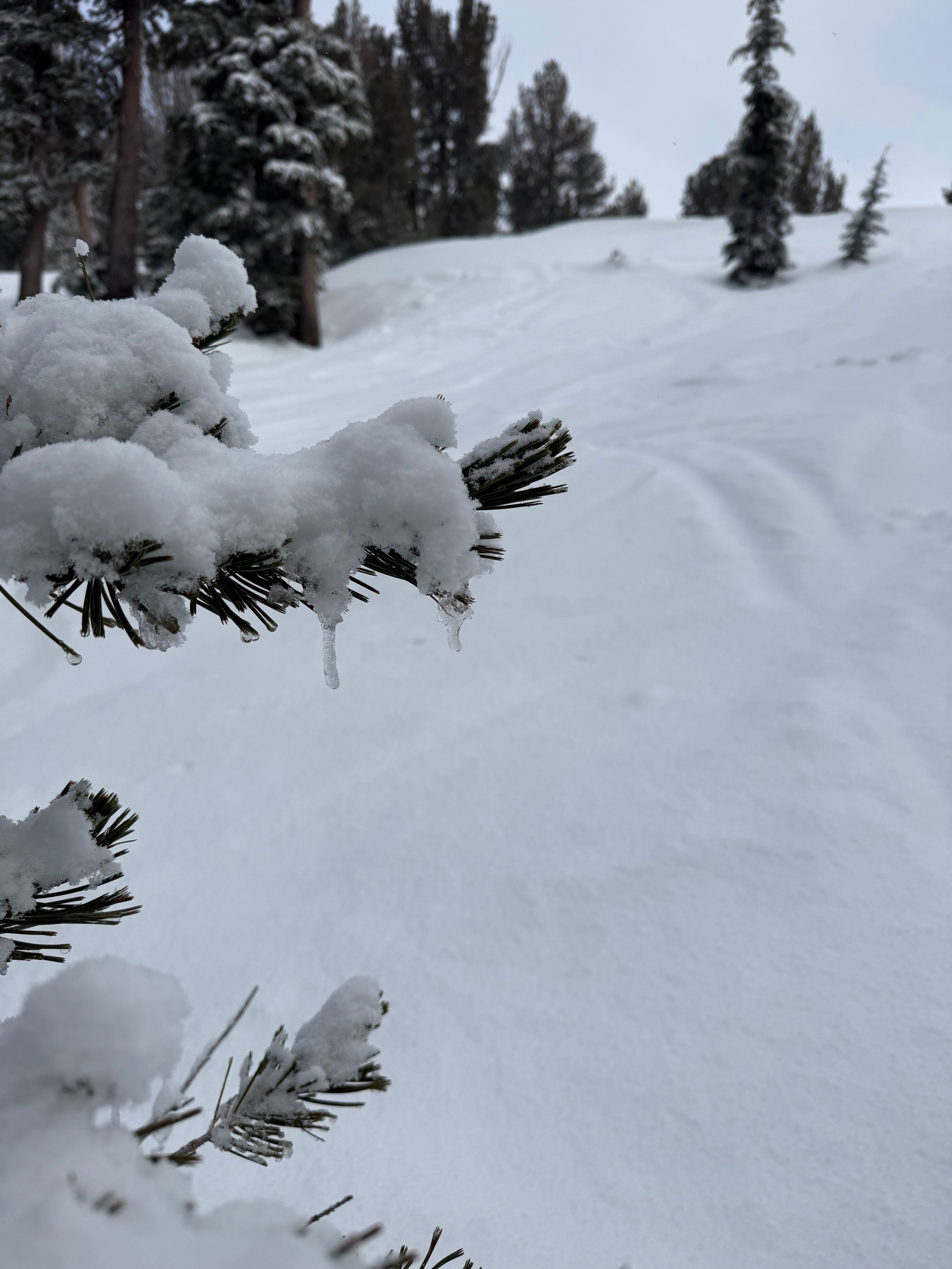
I went for a drive up Carson Pass to observe the snow/rain line at 2pm. It was clear at Luther Pass and raining in Hope Valley. This turned to snow at 7400ft near Red Lake and increased in intensity as I approached the Carson Pass SNO Park at 8500ft. There was a moderate amount of snow being transported on the sides of the road as I drove back down Carson Pass. The roads were still clear of snow as there was not much accumulation yet. I then went for a tour at Powderhouse with the goal of observing the snow and wind up higher. I left the trailhead around 3 pm and it started to snow lightly. At 8700 feet there was only about 2-3 cm of new wet snow on top of a lot of rain saturated old snow. Near the top there was closer to 7 cm of new snow. Above 9k it was noticeably colder snow. I wanted to see how much of the snowpack had been saturated by the rain up top so I dug into the surface of the snowpack on the ridge. Snowpack height ranged from was 120-135cm. There were multiple layers with visible liquid water sandwiched between layers of wet snow. The deepest liquid water layer was 30 cm from the surface and the next was 20 cm down from the surface. There was a thin frozen crust 7 cm down from the surface I would consider this the on new snow old snow interface. I did a shovel tilt and burp test with no results on the new snow/old snow interface. There was light to moderate amounts of snow being transported by strong to moderate winds on the ridge. Cornice formation and wind loading were just beginning but there were no shooting cracks as I walked along the ridge. I did get a 3x4 foot pocket to slide (7cm deep). Riding was fast and much better than expected in the top 1/3rd of the mountain. the thin rain crust below the new snow was not noticeable on a board. It was sloppy and heavy near the bottom and less sticky than expected. It is still shallow so I rode cautiously. As I drove back to town around 4:30pm, the rain started at 7400 ft.