
Quick report
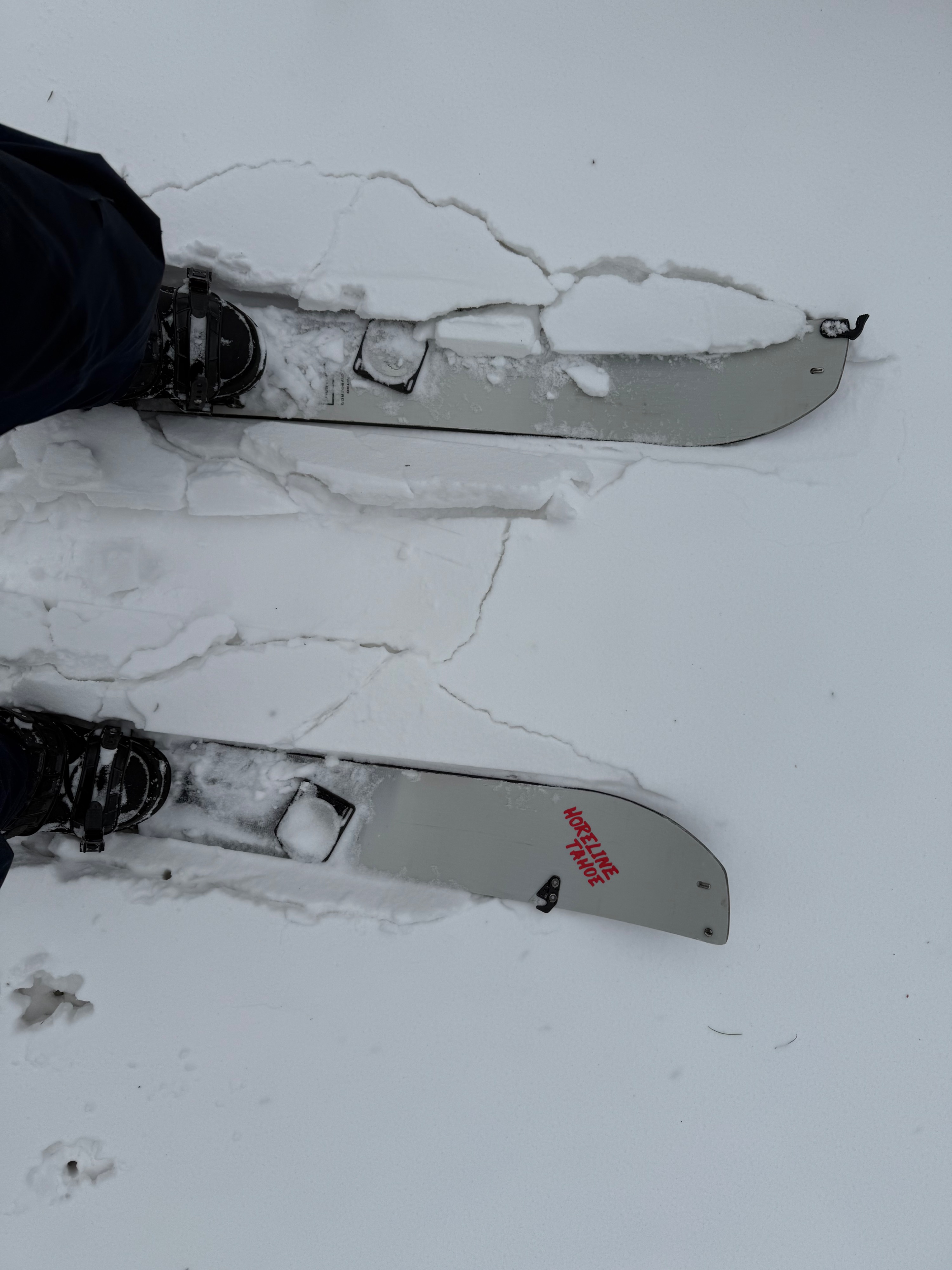
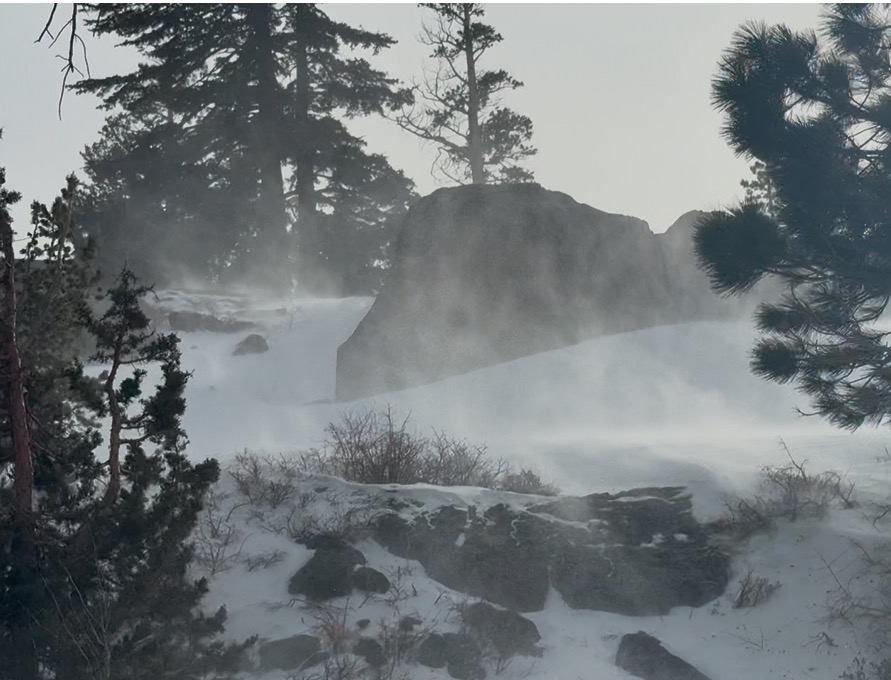
I went out to Carson pass around 9 AM this morning. On the leading edge of the storm skies were overcast and winds were strong out of the West/Southwest. Intense blowing snow was occurring at this time. As I traveled around, I was able to find small wind slab development in near tree line terrain. Around 10 AM the wind speeds increased and snow started to fall. Precipitation particles were large and blowing all over the place. By 11 the wind slightly tapered back and precipitation particles had gotten smaller and wetter. There was no signs of graupel or rimed particles at this time. When I got back to the truck at 8500 feet the temperature was 37°, by the time I drove down Carson pass it was sleeting near 7800 feet and raining in Hope Valley.
Weather
- Air Temp
- Near freezing
- Cloud Cover
- overcast
- Wind Loading
- intense
- Rain Elevation
- ~7800
- Recent Snowfall
- .25cm
- Snow Avail For Transport
- large amounts
Overcast skies with high gray and intense winds in the morning. Snowfall started at 10 AM with obscure skies and increasing winds.