

Weather
- Air Temp
- 32
- Cloud Cover
- scattered
- Wind Loading
- none
- Snow Avail For Transport
- small smounts
Thin high level cloud cover associated with a passing dry cold front. Light NE winds developed around midday.
Snowpack
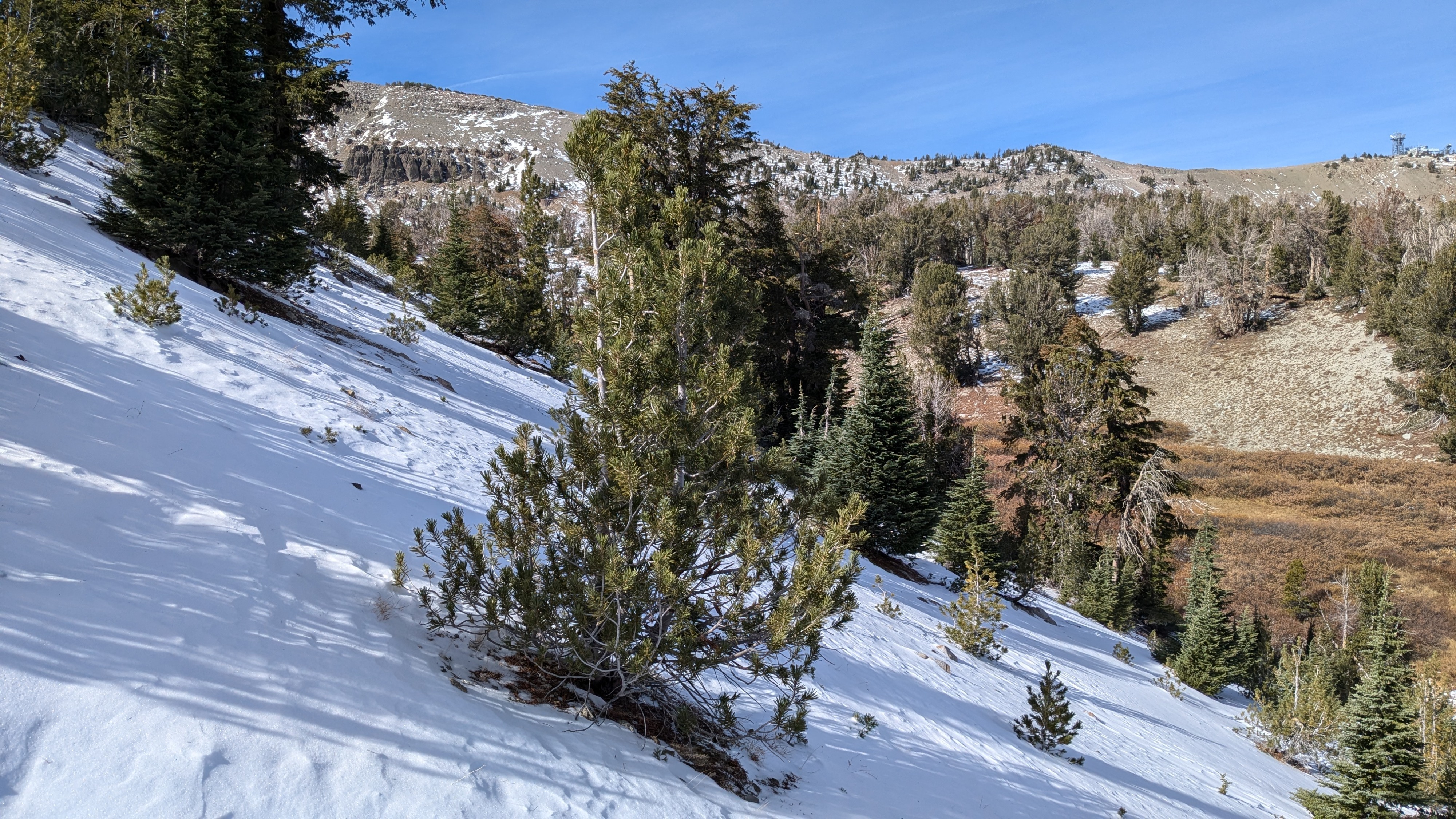
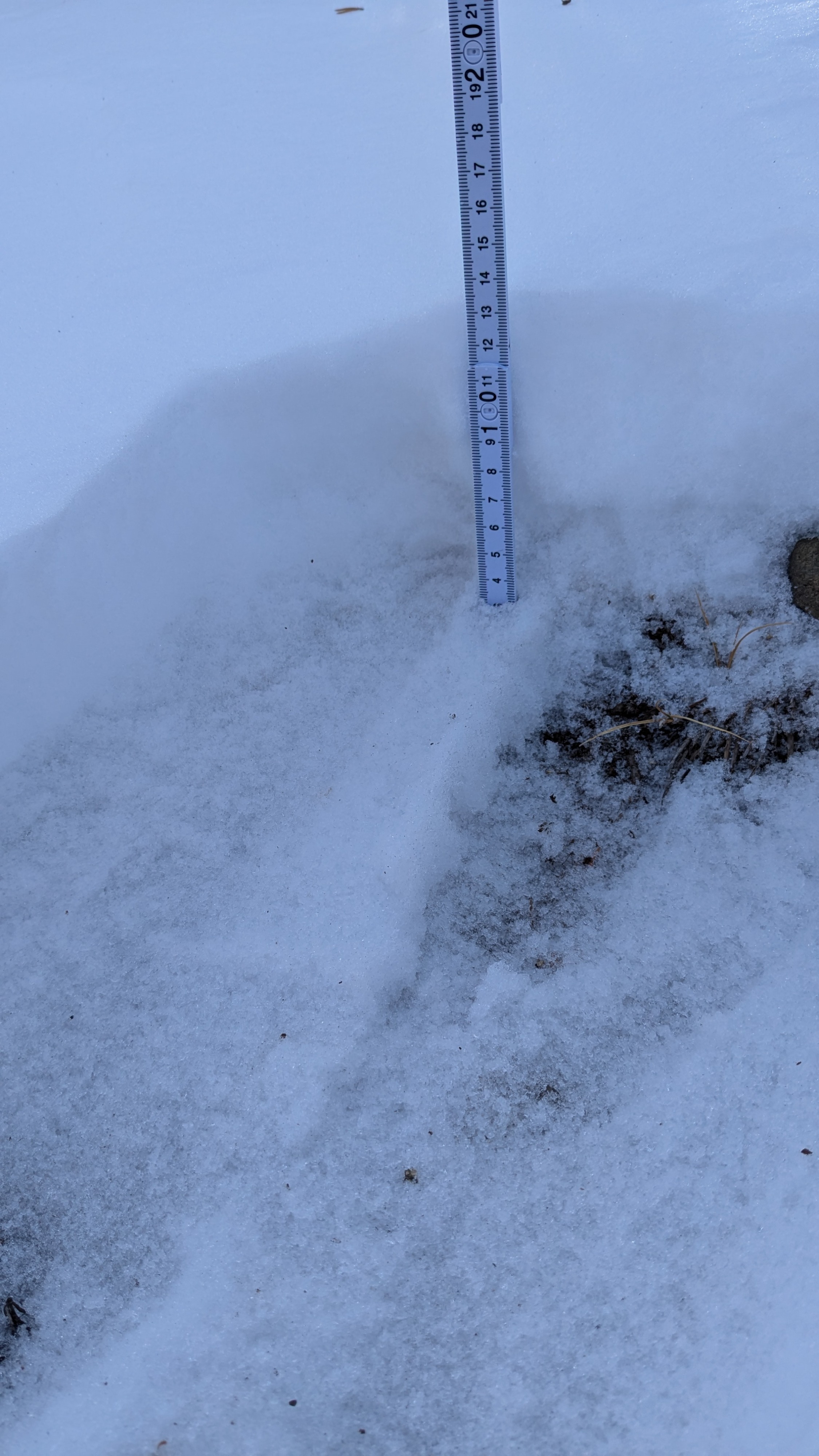
A tale of two aspects, sun vs. shade in this area. Areas of direct sun exposure are bare ground. Areas facing the north half of the compass hold 1 to 3 inches of snow cover which is continuous in many areas. Isolated areas held up to 6 inches.
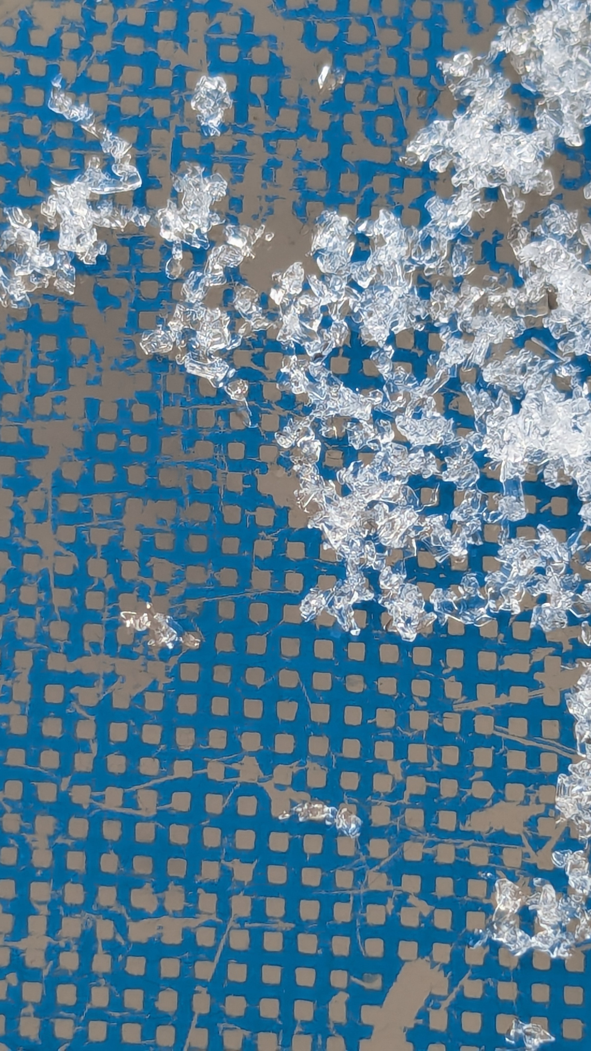
The shallow snowpack was more faceted on northerly aspects in this area than I have seen in other portions of the forecast area. The snowpack is mostly 4F- hardness with 1 to 2 mm faceted grains. In areas where I found a ground level crust as remnants of the Oct snowfall, facets on top of the crust were 2-4 mm, striated, and with some chains up to 6 mm.
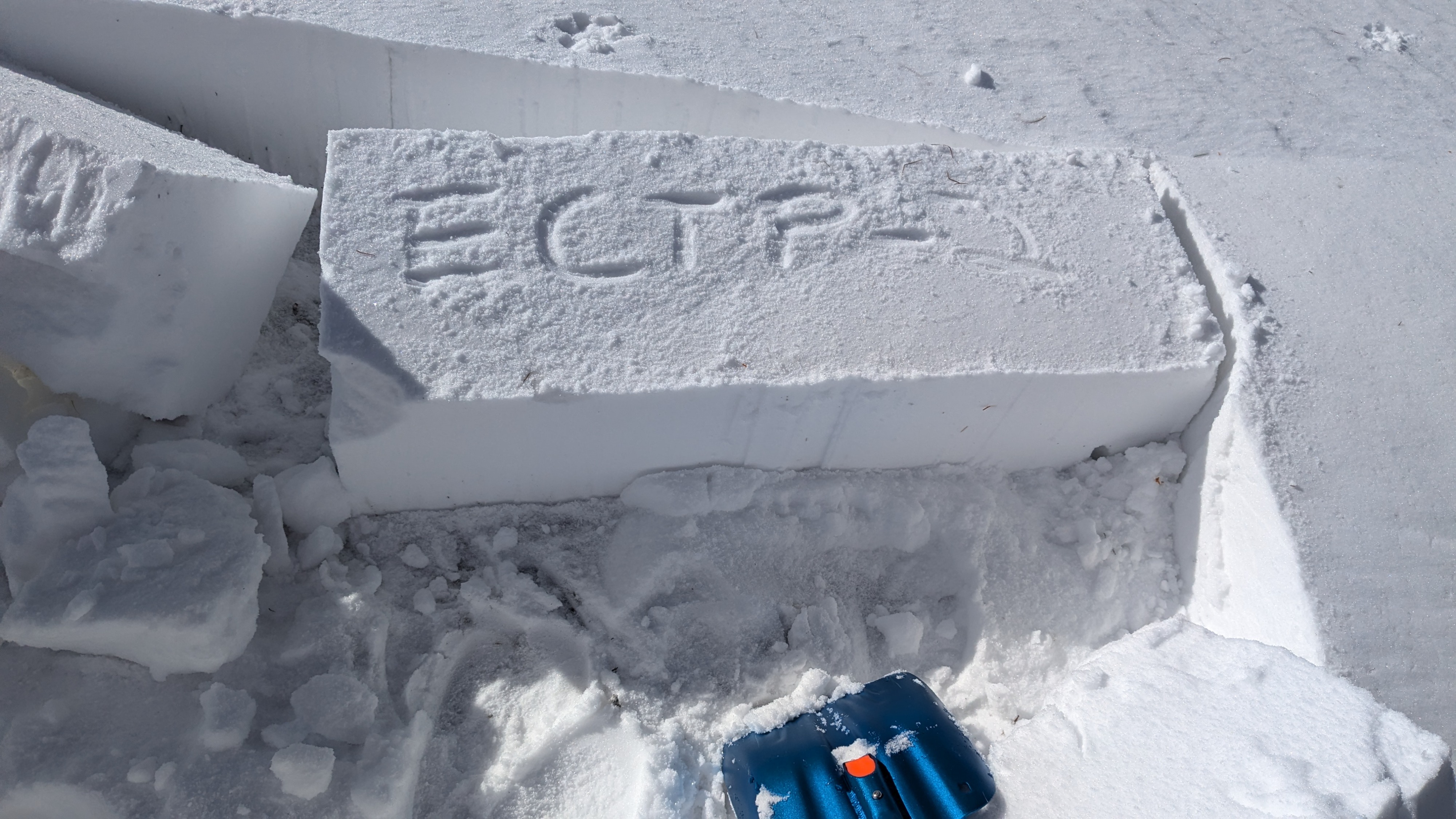
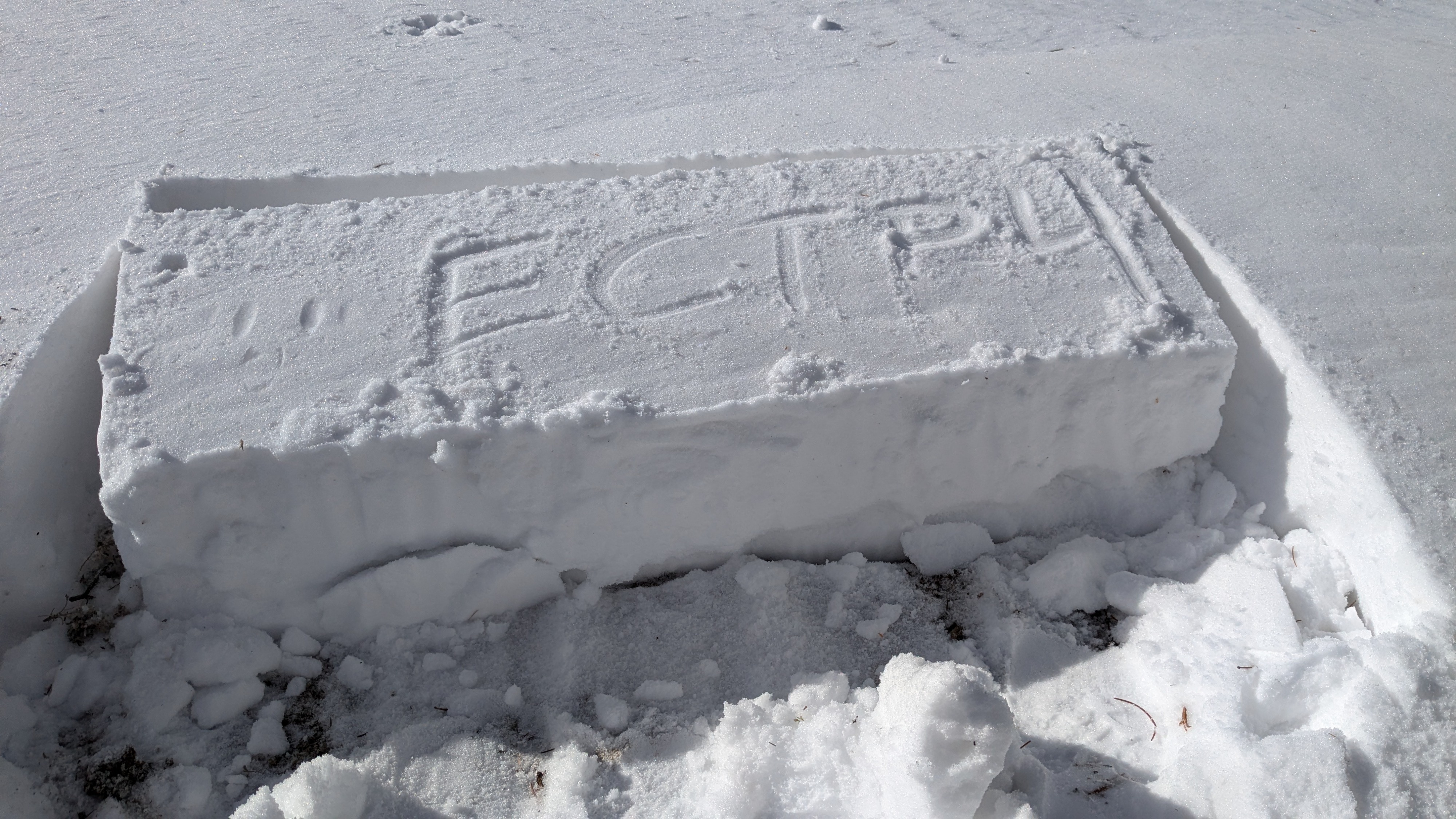
Of interest, I triggered a collapse when I stepped on top of a small wind drift. I looked around and was able to find another wind drift that was about 10' x 5', HS of 25 cm. This drift had P to 1F hard wind slab on top of the 4F- facets. ECTs scored ECTP-4 and ECTP-2. This wind drift was certainly not indicative of 99% of the conditions in the area. It was however an interesting insight into the weakness of the snow on the ground that was without an overlying slab in nearly all areas.