
Quick report
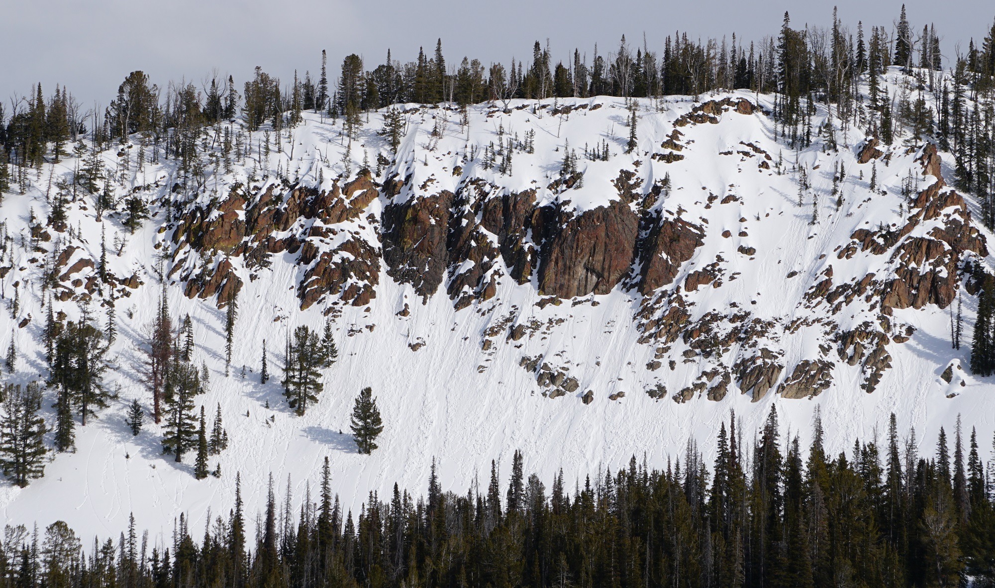
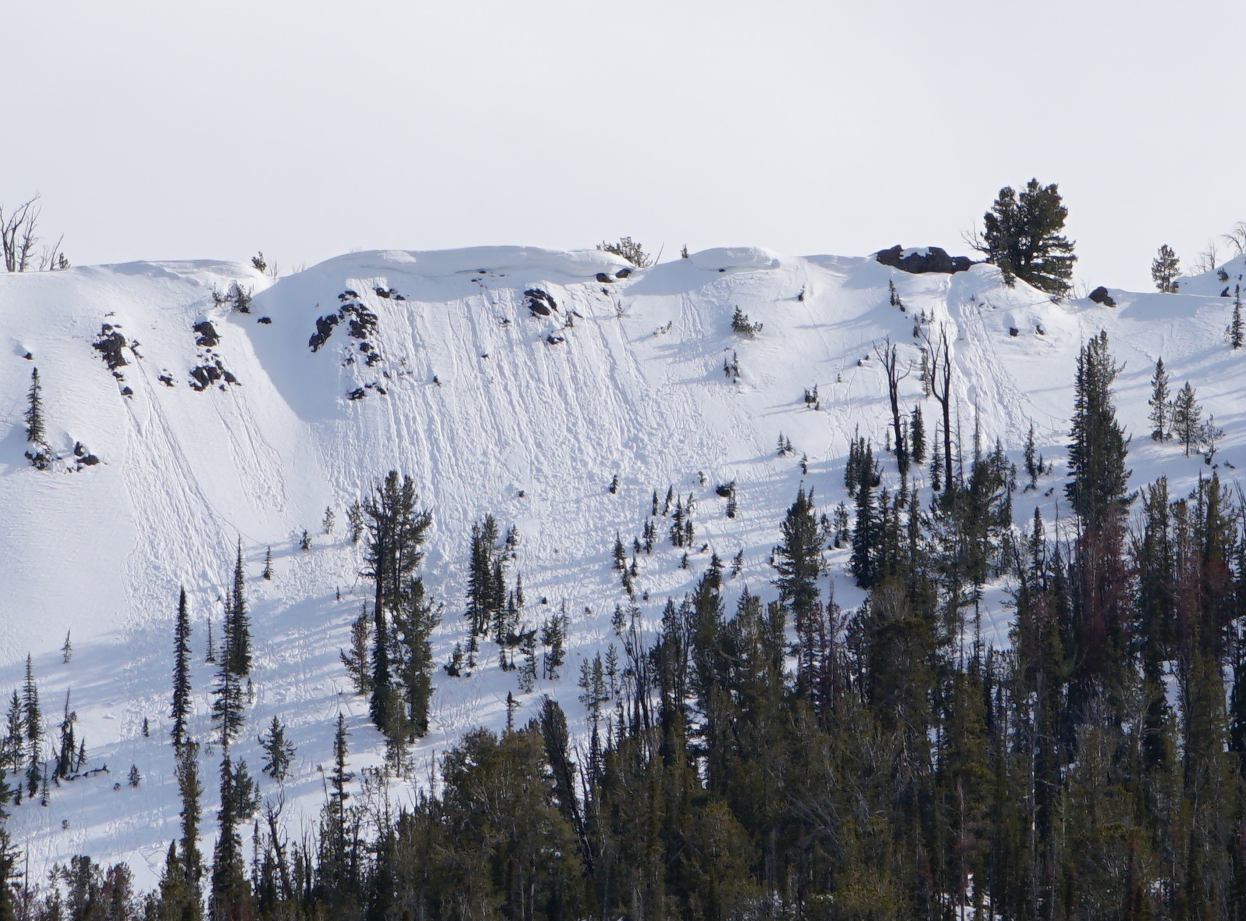
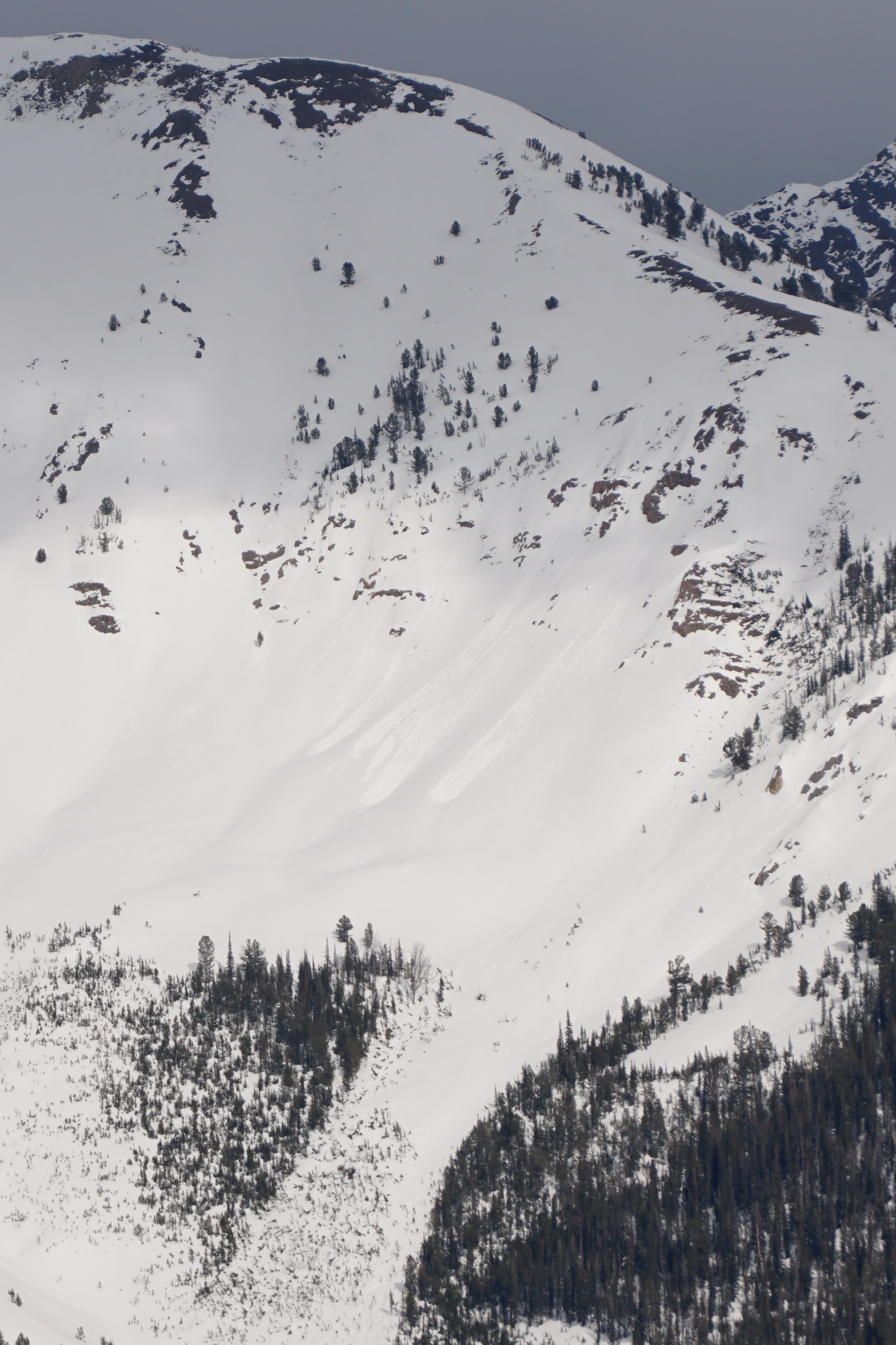
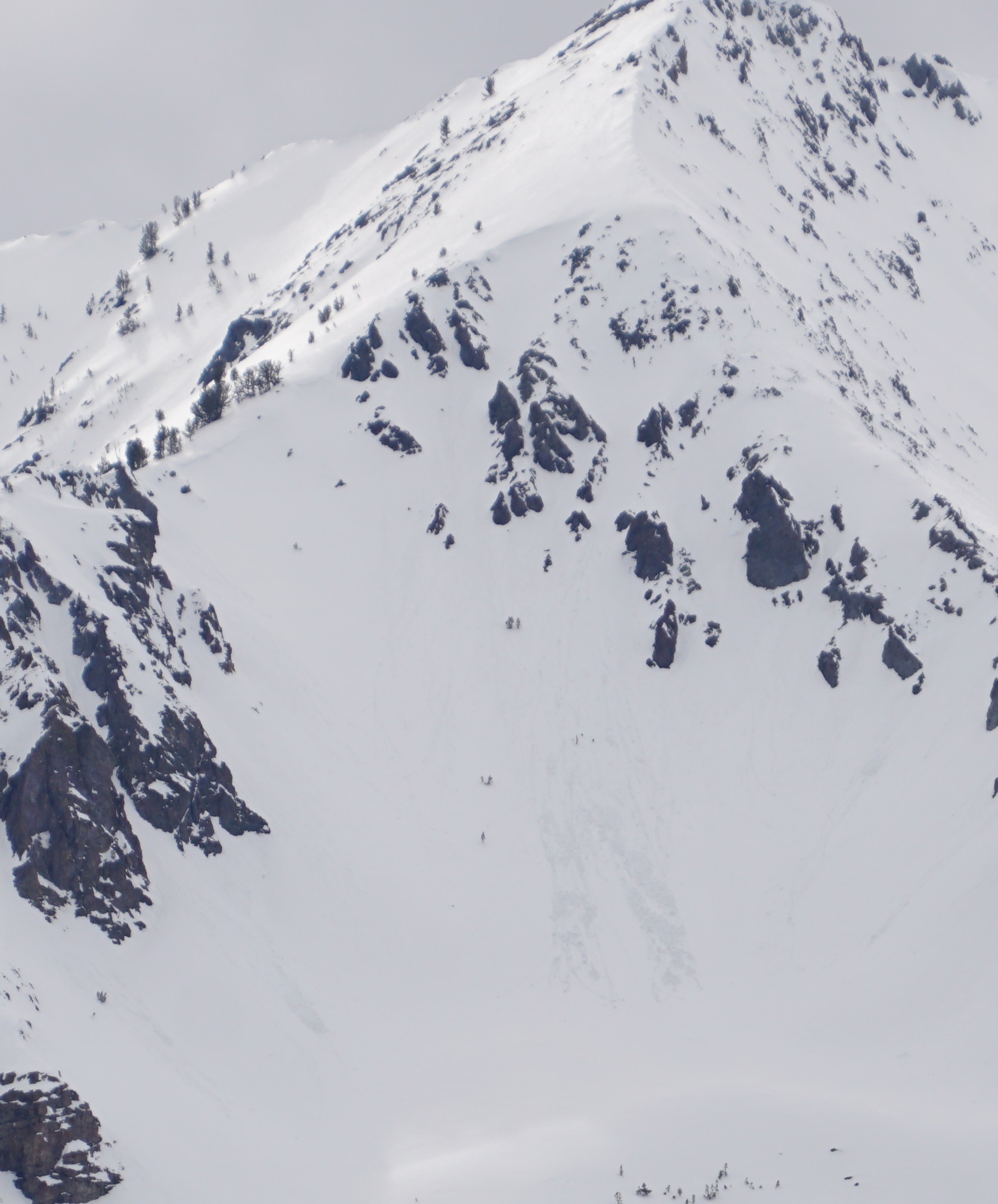
I saw small wet loose slides and obvious signs of wet snow instability on very steep, wind-sheltered, rocky slopes facing NW-N-NE-E from 9300-10000' near Galena Summit (Wood River drainage). I didn't see any fresh avalanches on slopes facing the southern half of the compass. Weather was warm and breezy with intermittent rain showers from 4-6 PM. Rain line was over 9500' either side of the highway from Ketchum to Baker Ck when it was raining. The rain line appeared to be well over 10,000' in the southern Sawtooths (Snowyside Pk area) at 5:30 PM.
Cracking and collapsing are N/A.Weather
- Air Temp
- 47 Galena Lodge, 43 Galena Summit
- Cloud Cover
- broken
- Rain Elevation
- 9200'-10,500' (?)
- Recent Snowfall
- 0
- Snow Avail For Transport
- none
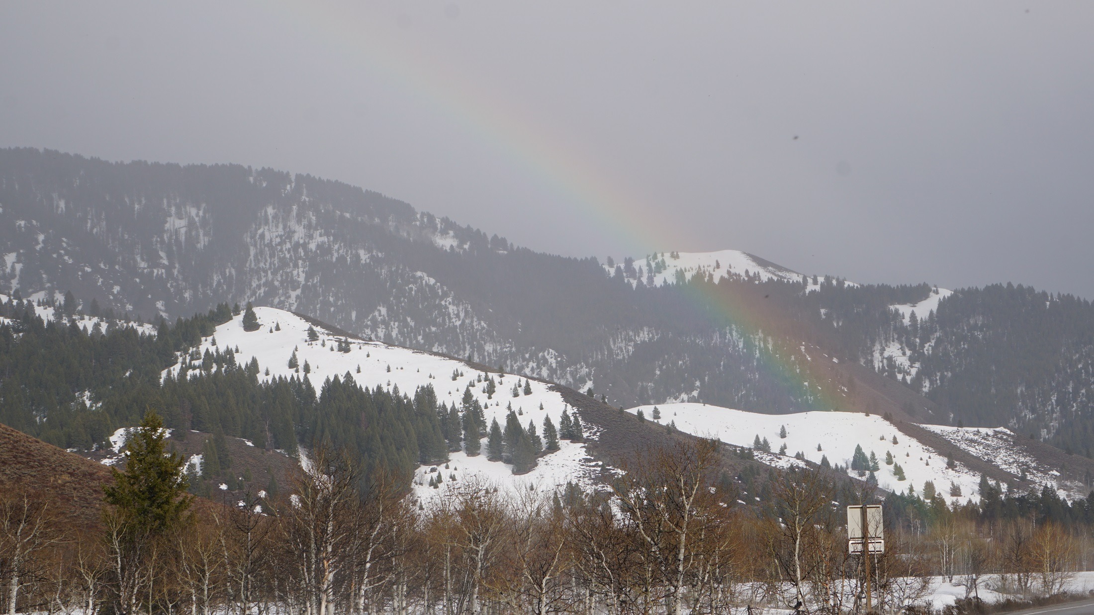
Sky = mix of OBSC/rain to PC. Raining SNRA HQ to Baker Ck on the drive up (raining above the top of Butterfield), appeared to be raining to the top of Snowyside (10,600') in southern Sawtooths, raining above top of Triple Peaks in Lake Ck and Baldy on the way back to Ketchum. PC in Smoky Mtns from Anderson Ck to Bromaghin and Boulder Mtns north of Boulder Ck. Steady MOD southerly winds at Sawtooth overlook around 5:30PM.
Snowpack
Shady aspects = 5-10cm wet snow Galena Lodge to Galena Summit. Some small WL near 10000' NW-N-NE-E, rollerballs on steep shady slopes 9300-9400' near Galena Summit (not raining at the time, no signs of significant rain).
Solar aspects/flats/margins = Surface snow had gone through several cycles of melt-freeze recrystalization (corn), and crusts 3-10cm below the surface were maintaining structure and foot supportable in most places 7500-8700'. No obvious fresh WL slides while glassing.
Avalanche
Small, isolated WL activity on NW-N-NE-E aspects near 10,000'. All the little slides were in very steep, wind-protected, rocky terrain.