
Quick report
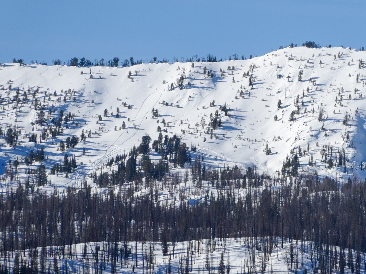
Despite weak snow near the ground on shaded middle and upper-elevation slopes, we observed no obvious signs of instability or evidence of slab avalanche activity during the last big storm.
No obvious signs of instability.Weather
- Air Temp
- 30F @ elevation, 3F @ valley floor
- Cloud Cover
- clear
- Wind Loading
- previous
- Rain Elevation
- 8,100
- Recent Snowfall
- 0
- Snow Avail For Transport
- small smounts
Inverted temperatures. Valley fog from Smiley Ck down toward Stanley. Mild, calm, and sunny above the inversion.
Snowpack
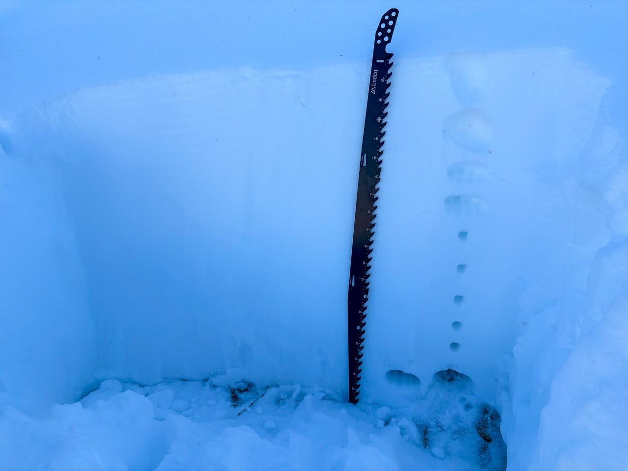
Depth/Travel/Rain crust: Total snow depths ranged from 20 cm near the Highway to 100+ cm on northern aspects at 9,200'. A stout rain crust allows easy ski and snowmobile travel from the highway. As the crust thins, the overall snowpack deepens. We lost the crust at about 8,100'.
Basal Weak Snow: We found facets near the ground on shaded (NW-N-NE) aspects at middle and upper elevations. We did not find this layer on ESE or SE-facing slopes >9,000'. This layer was found to be both moist and dry, depending on location. It is about 10-15 cm thick and composed of small facets. So far, this layer looks better in the Sawtooth and W Smokys than in the White Clouds and near Galena Pass and south.
Surfaces: We found well-developed surface hoar and near-surface facets on the ridge top on shaded slopes. Some slopes that face the sun have thin crusts and associated facets. Others were wet and should form stout crusts.
Avalanche
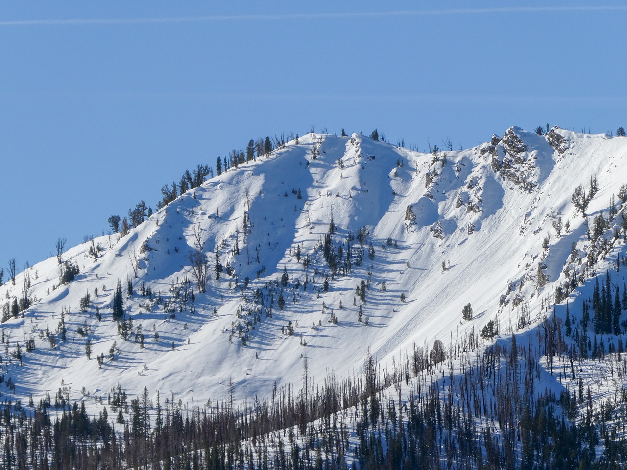
We did not observe any slab avalanches. However, multiple wet loose avalanches occurred on very steep, rocky, alpine terrain facing the sun. We estimate these released over the weekend (11/30-12/1).