
Quick report
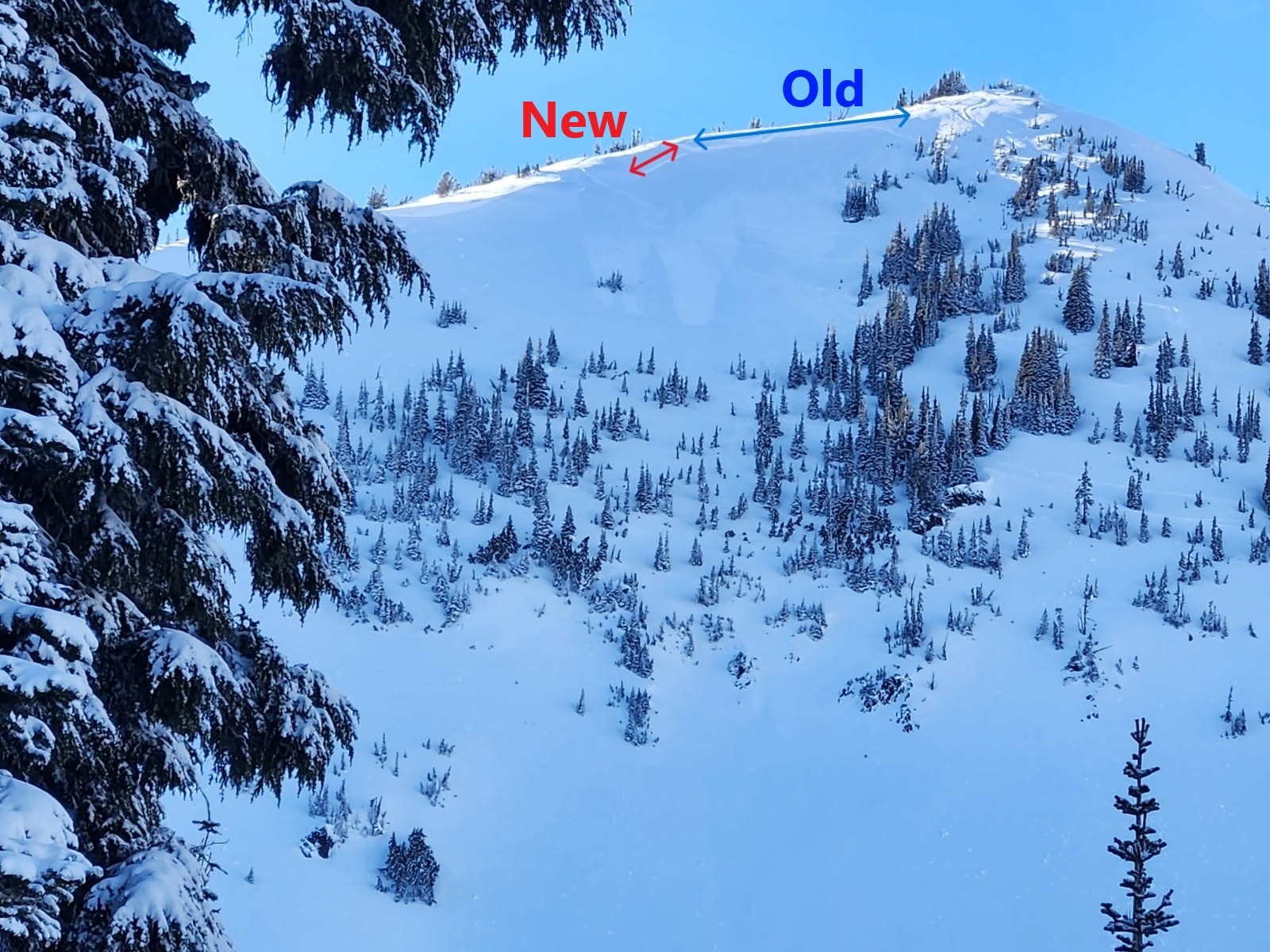
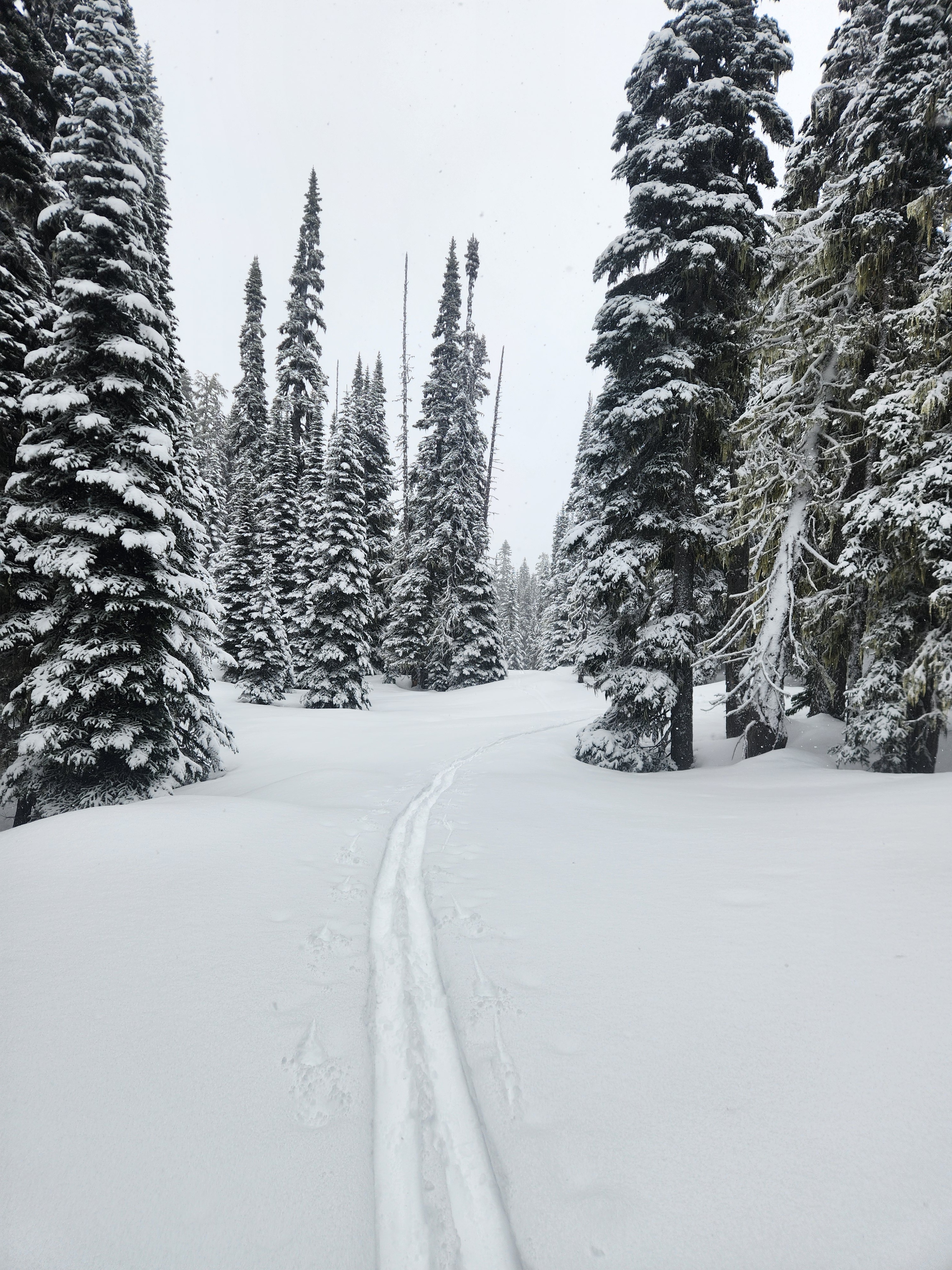
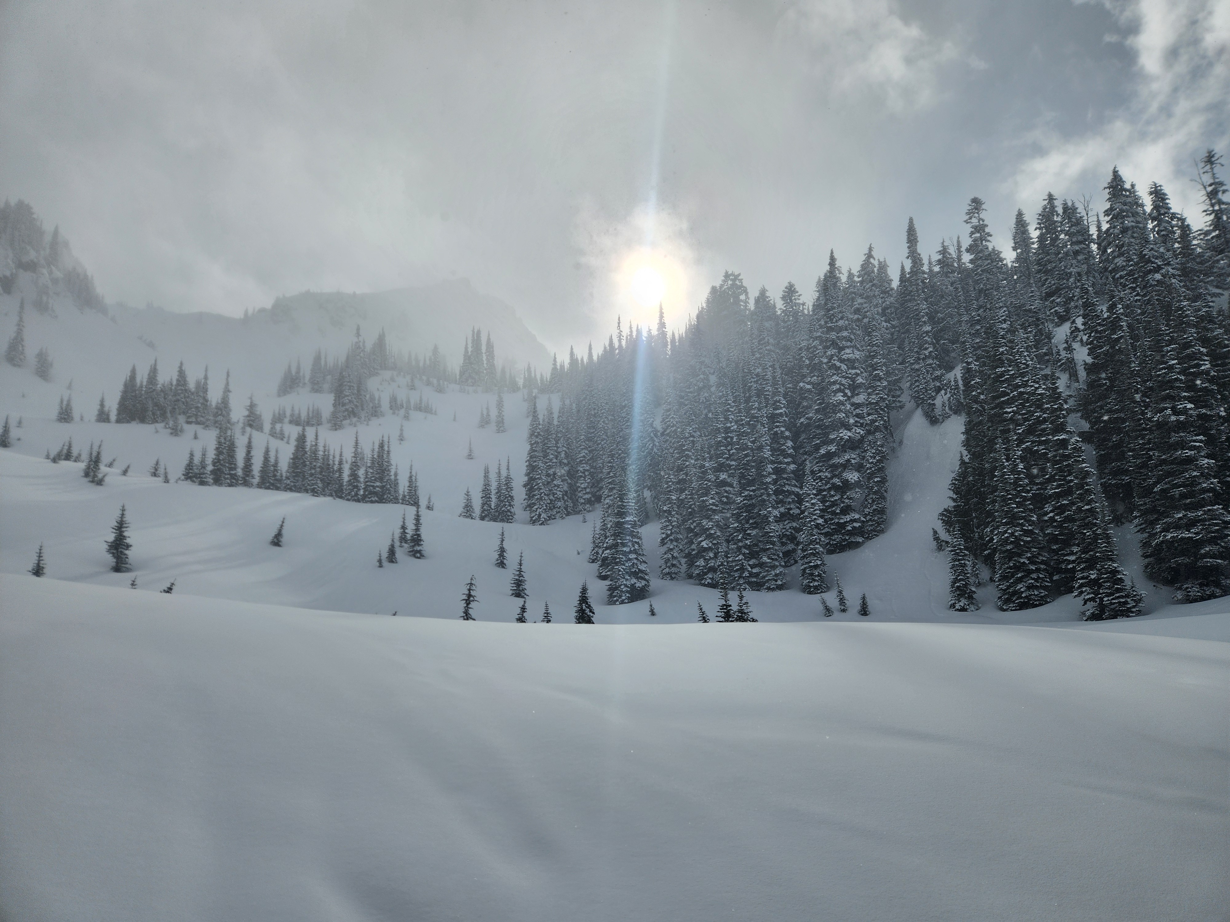
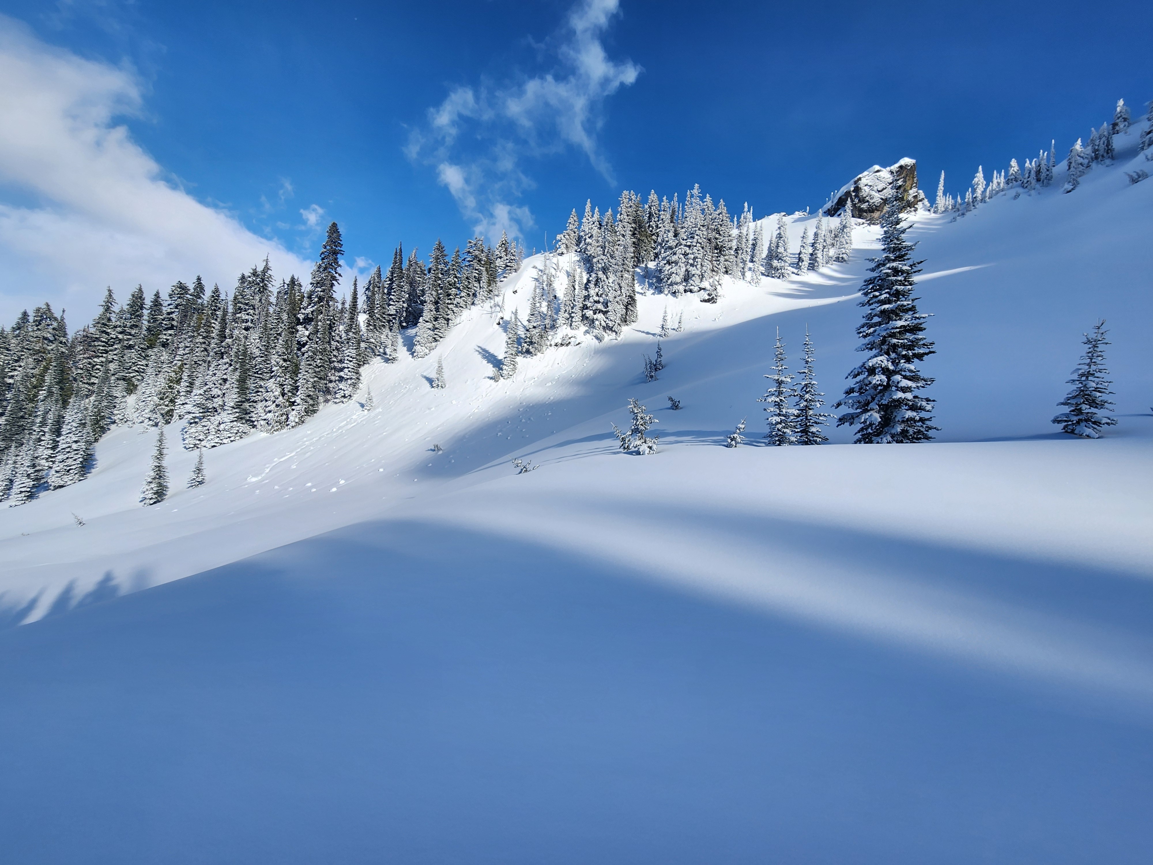
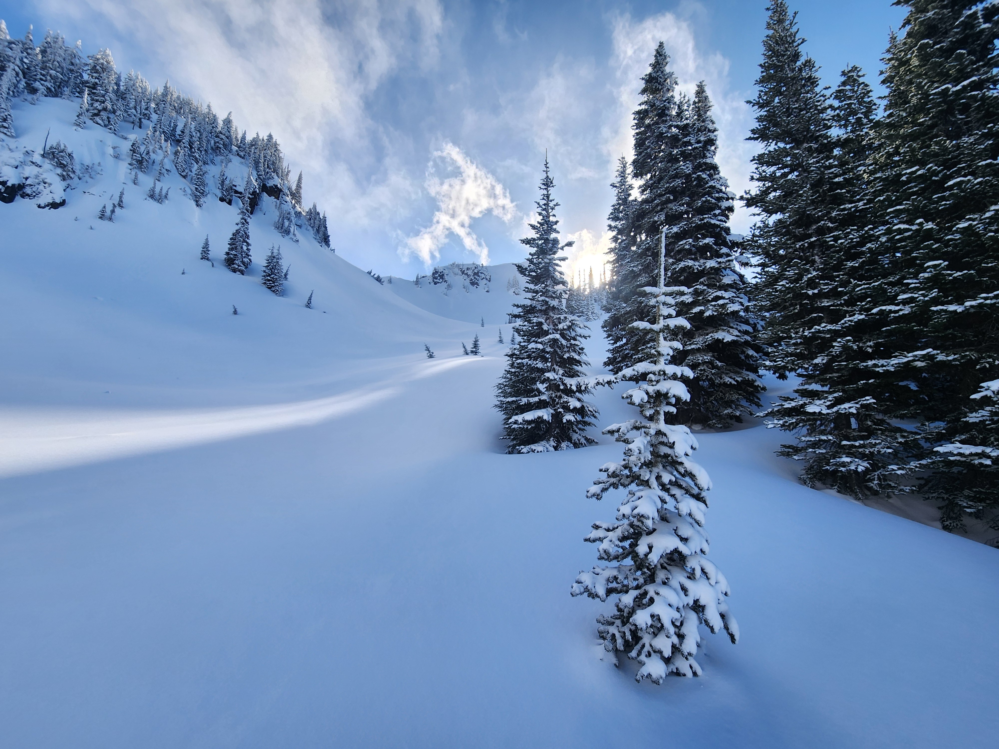
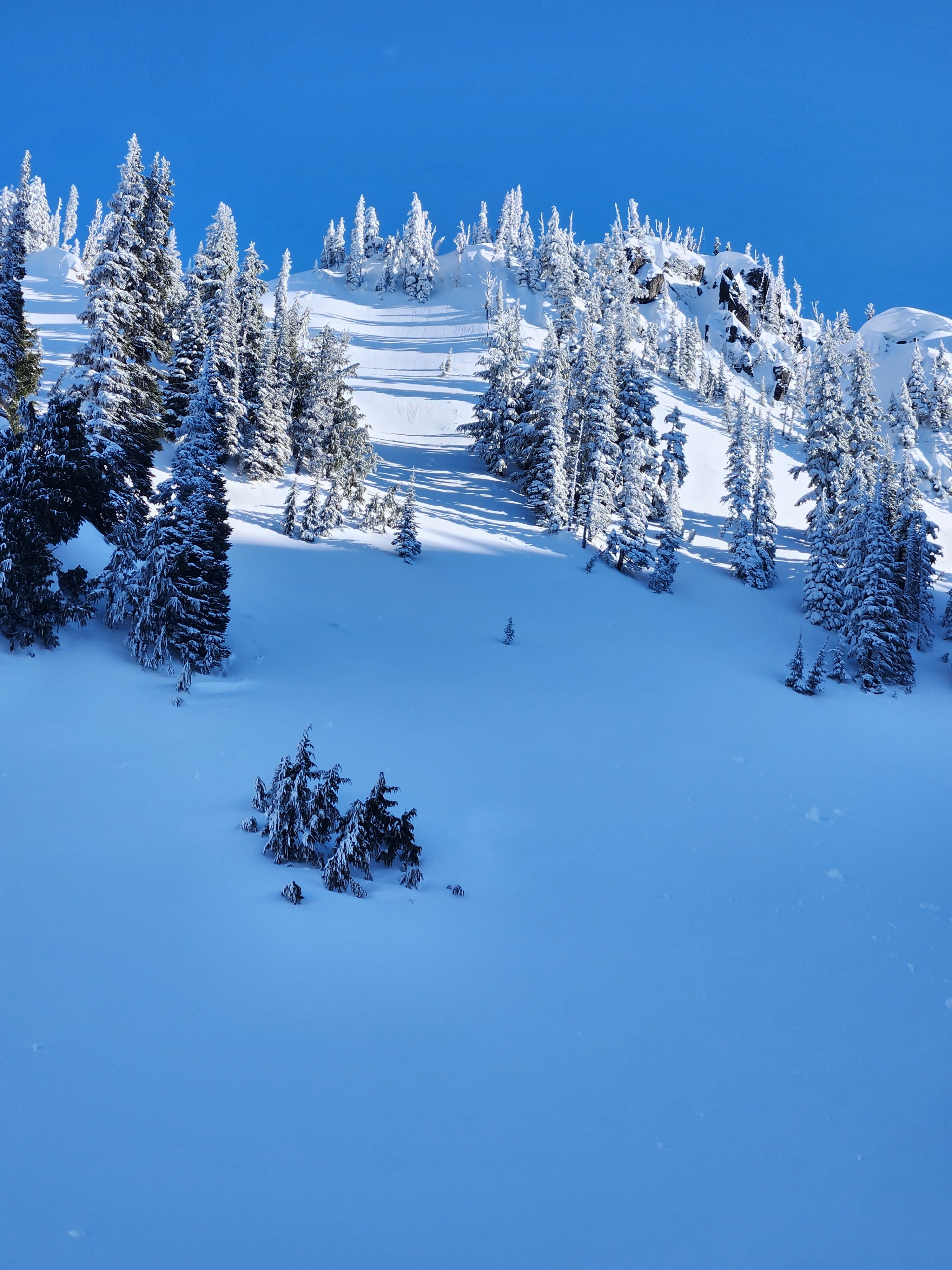
I left the parking lot at about 1:15 in the afternoon under moderate wet snow and low visibility. Snowfall started to taper and at 3 pm, the clouds parted and the sun came out. It was a gorgeous reveal and a much needed refresh. The quality of the new snow increased greatly with elevation. It was wet and concrete-like down low, but above 5700' the thick dust (4-6") on crust was quite lovely! I observed a small wind slab but other than that, I saw little sign of wind effect in the basin where I traveled, though I suspect other areas and higher elevations could have seen more loading. I also saw some fresh sluffing as the sun popped out. All in all, the new snow was fairly well-bonded to the crust below and I only observed some very localized cracking. Small test slopes were not reactive for slabs, but somewhat so for dry loose.
The AR crust, down almost 2ft at 6000' is frozen solid and the snowpack at that elevation was locked up. Any concerns were in the immediate storm snow. Of note, this refresh means there is some fresh snow available for wind transport.
Weather
- Wind Loading
- light
- Rain Elevation
- 4000
- Recent Snowfall
- 15
- Snow Avail For Transport
- small smounts
Moderate wet snow at the base at 1:30 pm. Much drier snow above 5500'. Snow lightened and eventually shut off at 3 pm as skies quickly cleared and the sun came out. Decreasing winds to light, with occasional moderate gusts.
Snowpack
An inch or two of ski penetration into the new snow. Below about 5500', 1-3" of wet snow sat on a moist/wet crust. Above 5700', the crust was dry and new snow depth increased with elevation. On a north-facing slope at 6000', 5-6" of storm snow sat on a 1/2" thick, boot supportable crust. There was a bit of a density break in the storm snow, resulting in a tiny bit of localized cracking. The upper inch was low density. AR crust down 20", 6-10" thick, frozen and rock hard.
Avalanche
- Size
- D1
- Aspect
- E
- Trigger
- N
- Elevation
- 6900 ft
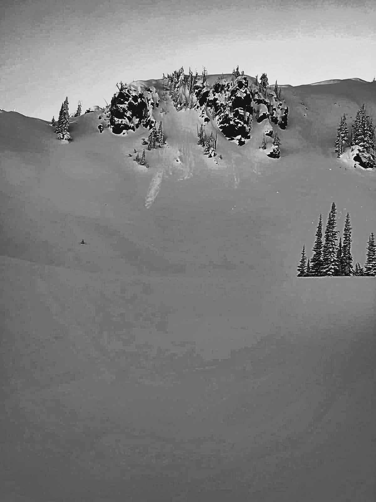
One small wind slab and a few dry loose sluffs.