
Quick report
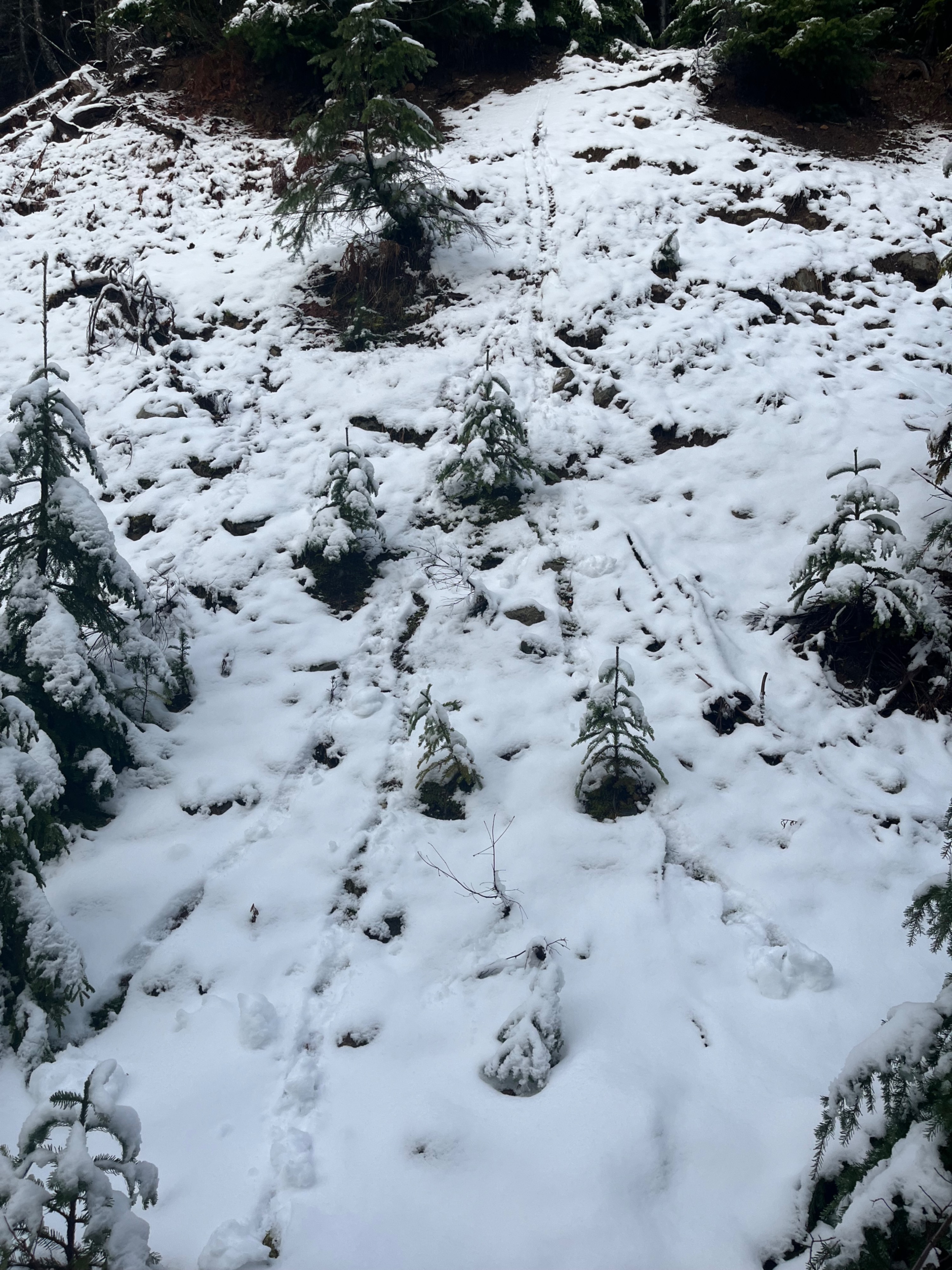
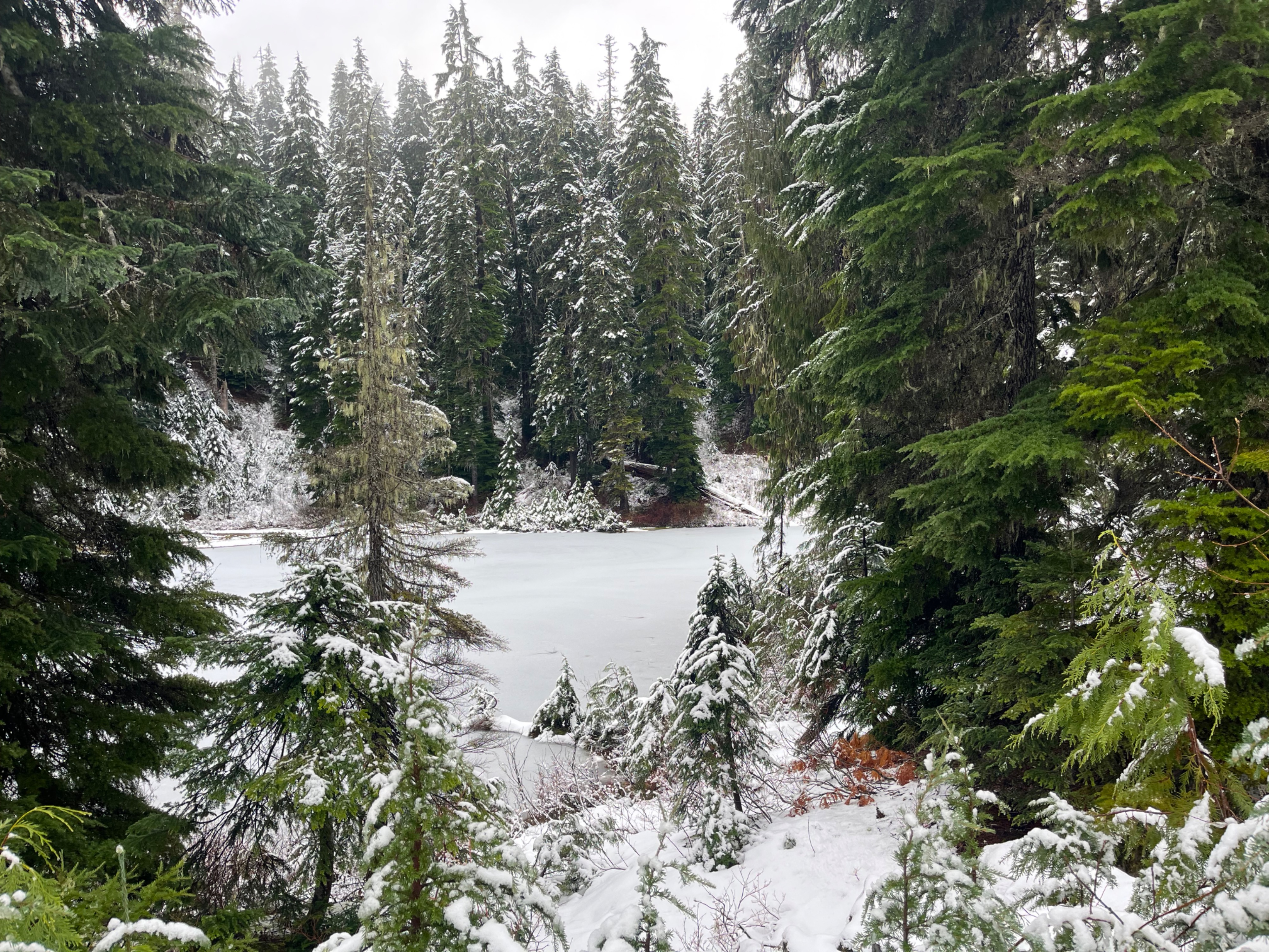
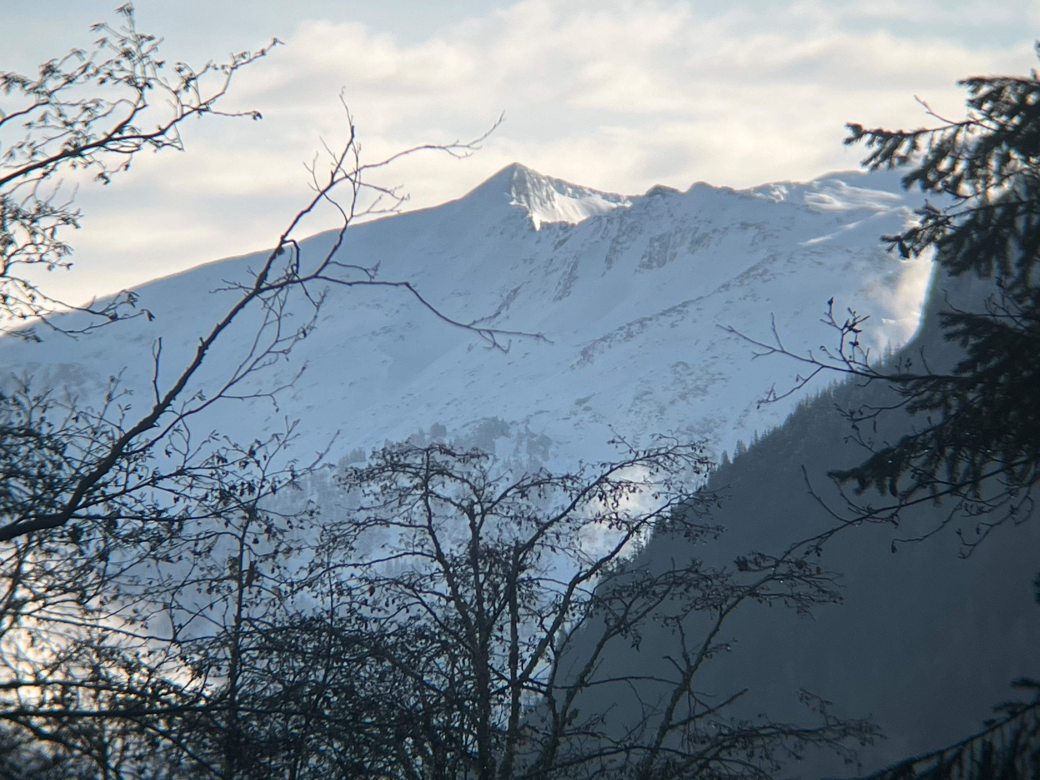
The upper portion of the lower elevation band has some snow- although not much. Meanwhile, alpine peaks viewed from afar amidst cloud breaks at least looked quite white- despite the many rocks also visible.
There were tree bombs dumping the small amounts of new snow, and tiny rollerballs were running in the new snow on cut banks.Weather
- Air Temp
- 34
- Cloud Cover
- broken
- Wind Loading
- unknown
- Rain Elevation
- 3500
- Recent Snowfall
- 7
- Snow Avail For Transport
- none
Snowlines lowered to about 3500ft at the end of the deluge, after several inches of water fell. Aside from downed trees, there was no evidence of wind-transported snow at lower, more sheltered elevations. Sky cover started out obscured but then hints of blue sky began opening up above. Low clouds mainly persisted, although there were large openings of clear skies early afternoon.
Snowpack
A thin layer of new snow from the end of the atmospheric river began at about 3300ft. By 3500ft, there was evidence of an older layer of snow beneath the new snow. At 4000ft, there was 10cm (4 inches) of old, moist melt forms under 7cm (3 inches) of new snow.