
Quick report
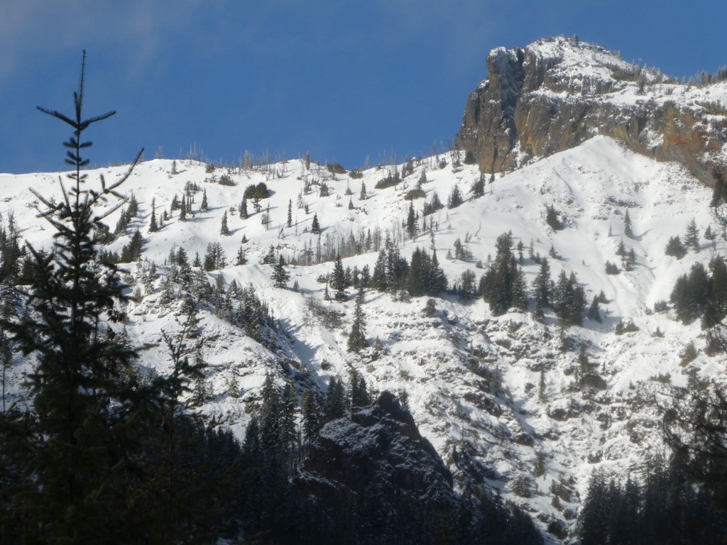
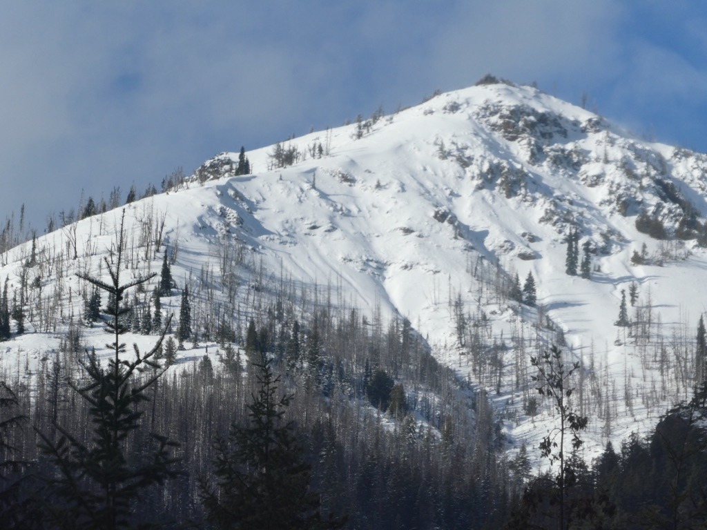
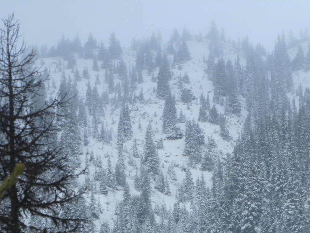
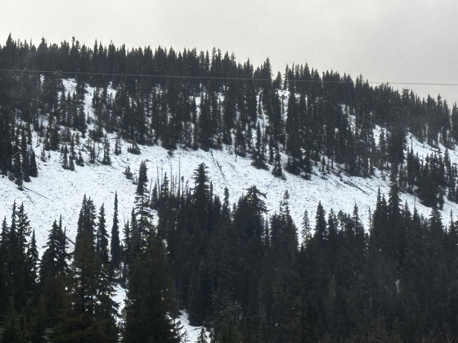
The snowpack is thin and variable across the mountains in the East South zone. In general, there's significantly more snow above 6000 ft and closer to the Cascade Crest as usual. Unfortunately, the snowpack rapidly decreases in depth below this elevation, creating challenging travel and a high price of admission for folks seeking winter recreation. We'll have to see what's left of our snowpack after these upcoming atmospheric rivers.
Weather
- Air Temp
- 40
- Cloud Cover
- broken
- Wind Loading
- previous
- Rain Elevation
- 4500
- Recent Snowfall
- -
The clouds were banked up against the Cascade Crest today. It felt quite stormy up at White Pass with strong winds and light rain/snow showers. However, the clouds didn't take long to dissipate as I drove east. By the time I hit Naches, it was nearly bluebird.
Snowpack
The snowpack is lean across the East South. Here's the breakdown:
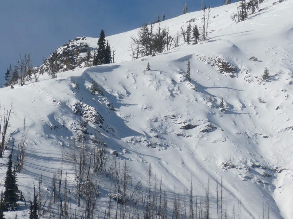
Above 6000 ft: We have an actual snowpack above this elevation, even on southerly aspects. This is where I saw evidence of recent loading and where I would be thinking about wet avalanches as liquid water is introduced. As of 12/7, the snowpack appeared mostly dry at these elevations.
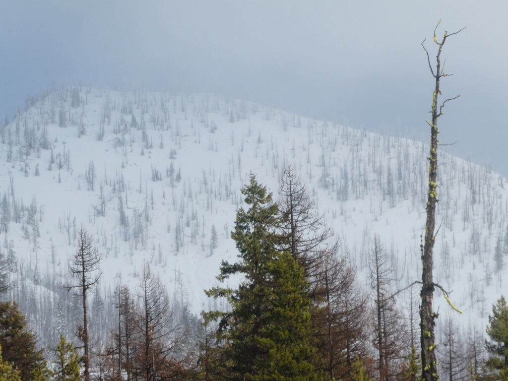
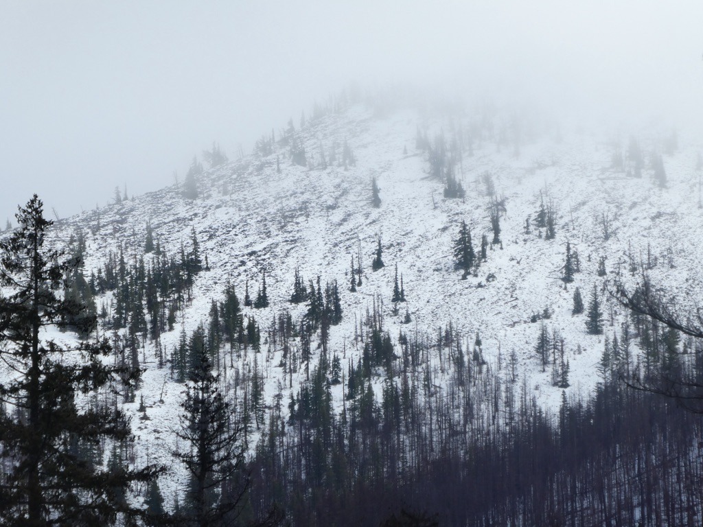
5-6000 ft: While there's recreatable snow above 6k, that's not quite the case as you descend. These middle elevations look thin and are very aspect-dependent. N/E aspects are holding a more meaningful spx, than sun-exposed or windward slopes. There are tons of hazards lurking, and these shallow depths may easily wash away with the incoming AR on the 8th/9th.
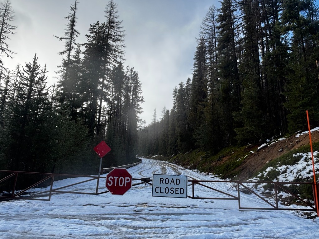
Below 5000 ft: Very little to no snow exists.
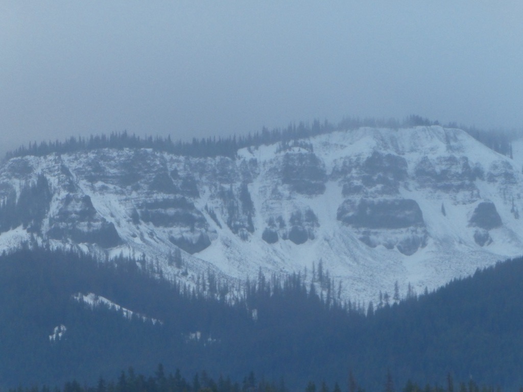
In typical Cascade fashion, there's more snow closer to Chinook and White Pass. The peaks east of Bumping Lake look noticeably shallower. However, I didn't get eyes on the highest elevations of Nelson Ridge due to poor visibility.