
Quick report
New snow overnight around 1 inch was rimed and unevenly distributed by wind. The previously melted snow due to rain was refrozen below the surface. Light wind during the day kept some snow surfaces dry while others will have a thin sun crust tomorrow. The refrozen hard layer was very noticeable under foot On March 24 Paradise received 1.32 inches of water during a period where temperatures were mostly above freezing. Warm and moist days preceding that event had saturated the snowpack with superficial refreezes overnight. The rapid amount of rain during the 24th allowed loose wet snow to fail on this steep slope with a wet cornice as its catalyst.
Weather
- Air Temp
- 26
- Cloud Cover
- few
- Wind Loading
- previous
- Recent Snowfall
- 2cm
- Snow Avail For Transport
- small smounts
Cold overnight temps around 17F. Moderate winds during last 48 hours transported loose dry snow to leeward aspects facing east.
Snowpack
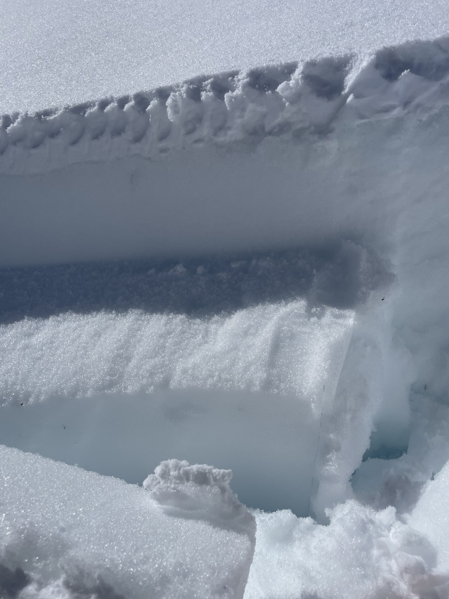
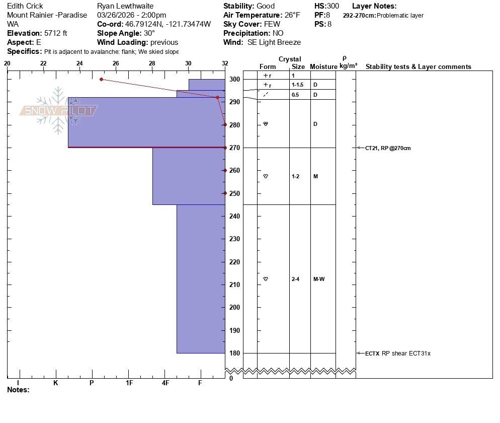
Since March 24th we have received 2.07 inches of water with 8.2 inches of snow. With most of the precipitation falling in the form of rain the snowpack has been degrading around Paradise. With a solid refreeze last night the previously wet snow had become very firm with a scattered couple inches of new snow on top. In my dig location, adjacent to a previous avalanche, I found an 8.7 inch layer of Knife hard snow near the surface. Below this robustly firm layer was moist to wet snow grains that was around 4F hardness. Even though it's unlikely to trigger an avalanche in these bridging conditions, there is still loose wet grains below a hard crust.
Avalanche
- Size
- D1.5 R1
- Type
- WL
- Aspect
- E
- Trigger
- NC
- Elevation
- 5780 ft
Steep and saturated leeward slope where a wet cornice failed, creating an avalanche that could have buried a person.