
Quick report
- Cracking
- isolated
I had the opportunity to join Mt. Baker Ski Area staff, who were busy preparing for their anticipated opening, on a trip up the mountain to check conditions at Heather Meadows. This was a chance to verify forecasts with on-the-ground observations, something we’ve been short on for a while.
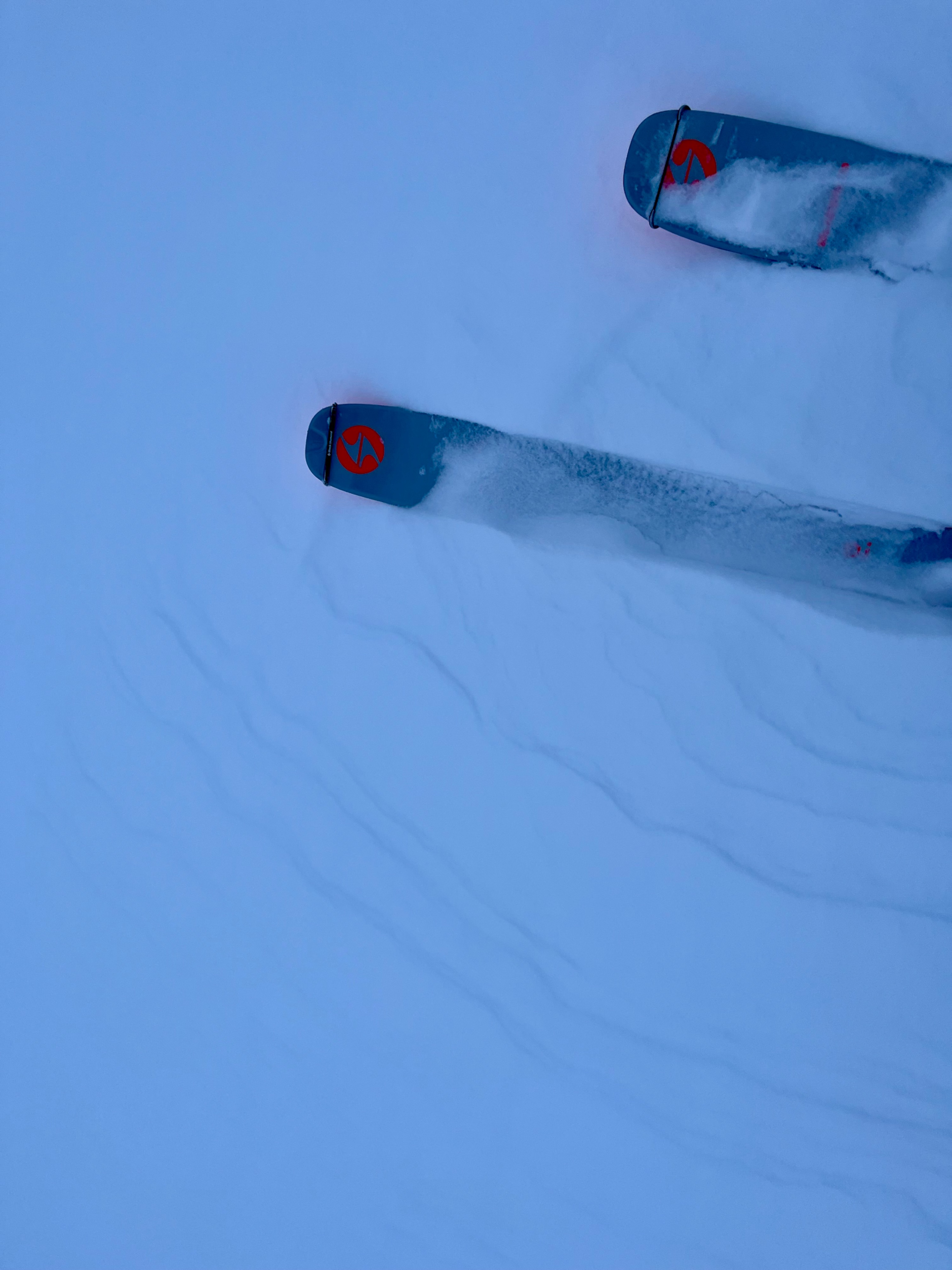
I wanted to investigate snow depths and layers, check how well snow is bonded to crusts and identify any other critical weaknesses in the snowpack- and search for avalanches. The outing was challenging, with moderate to strong wind gusts, an abundance of drifting snow, and poor visibility. This was one of those days you unknowingly walk off a wind lip up at Artist Point.
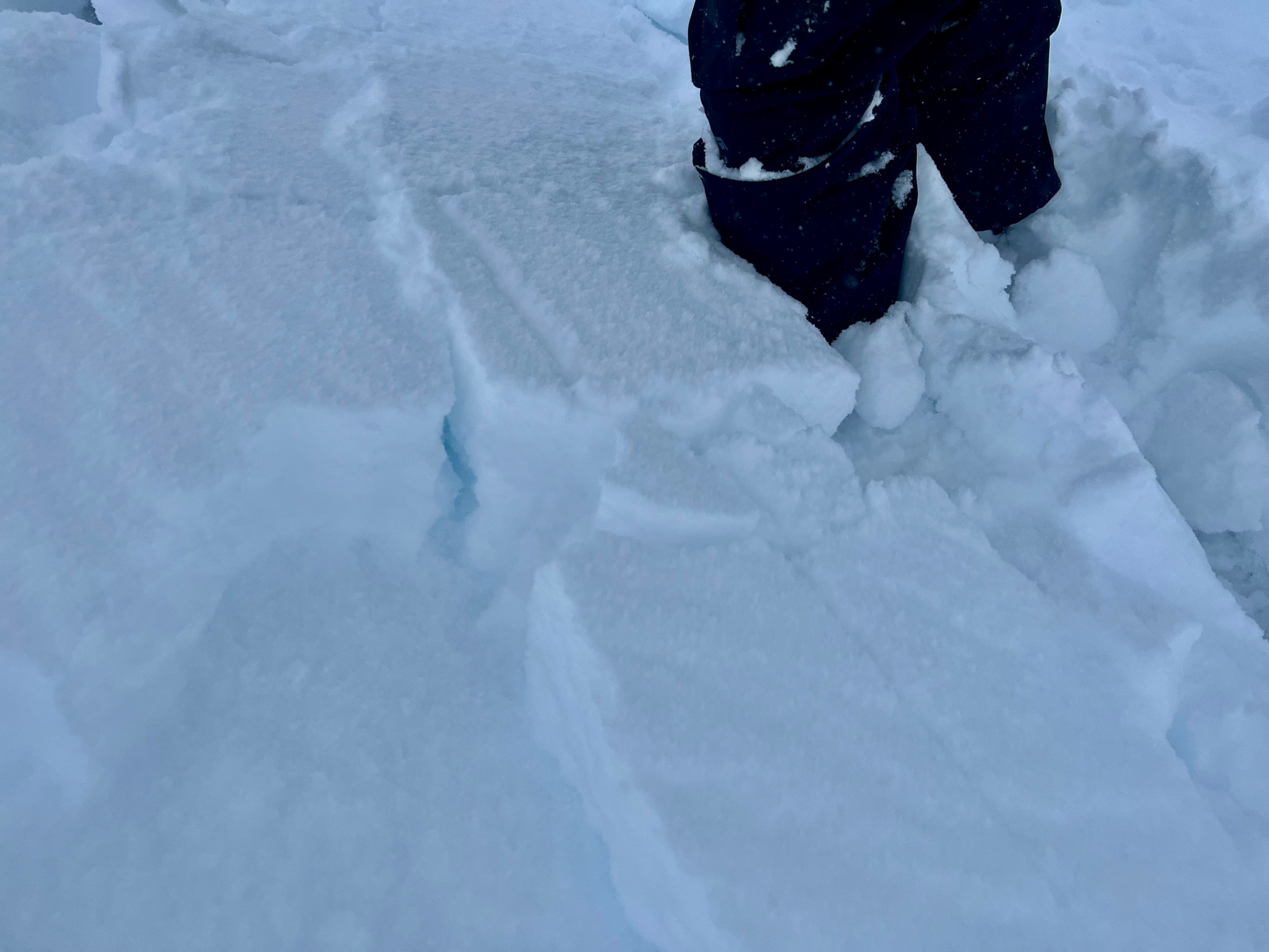
I found a little over a foot of newer snow well-bonded to a crust, overlying the majority of the snowpack, which consisted of moist, large-grain melt forms. Although the upper layer was predominantly right-side-up, I identified some mid-storm weaknesses in it, in addition to the added bonus of wind slabs.
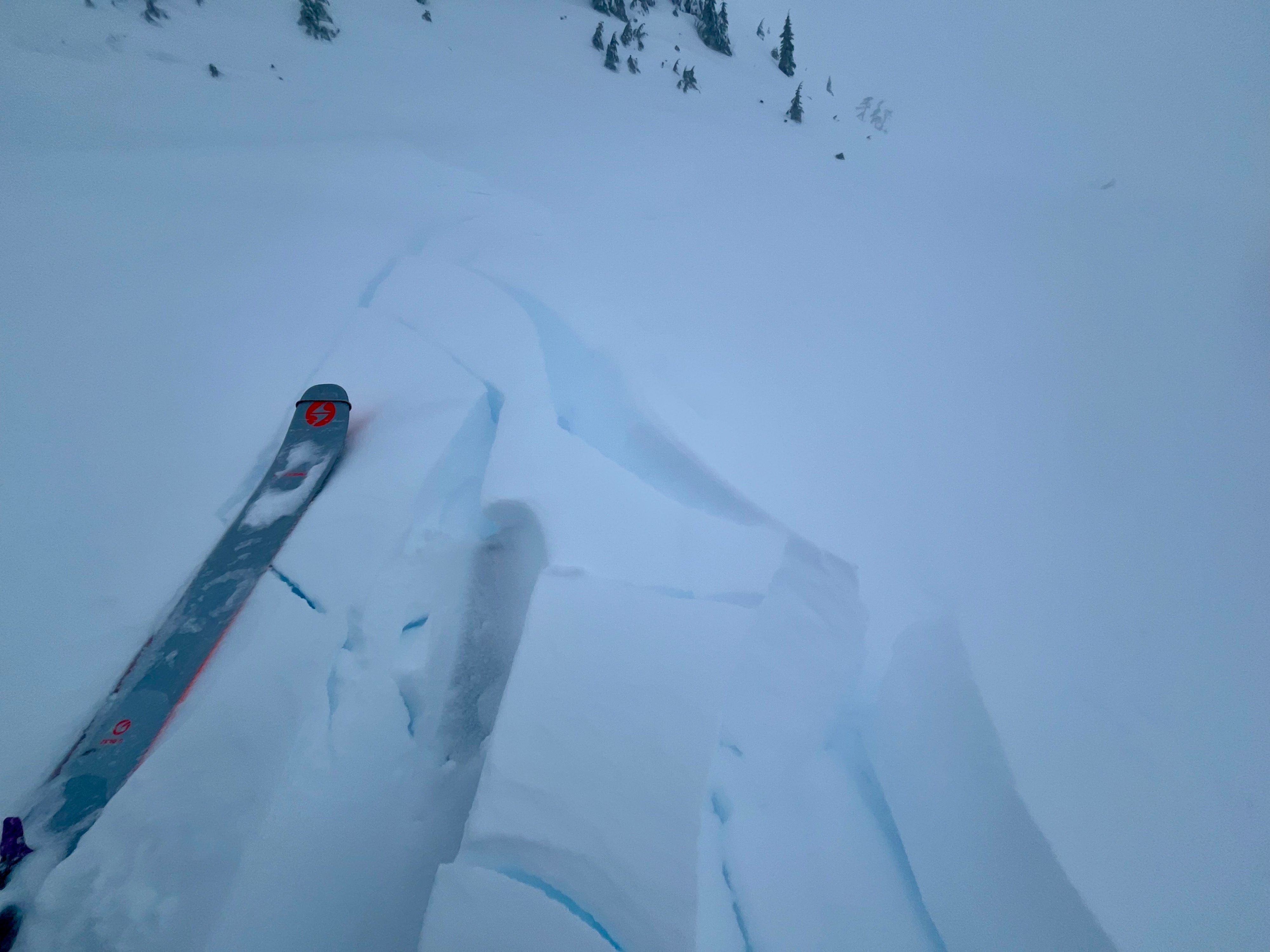
Significant cracking mainly occurred on wind lips.Weather
- Air Temp
- 26
- Cloud Cover
- obscured
- Wind Loading
- intense
- Rain Elevation
- 3000
- Recent Snowfall
- 35
- Snow Avail For Transport
- moderate amounts
Obscured with flat light and poor visibility. Artist Point was "pea soup". Wind increased throughout the morning, with moderate to strong gusts Chilly! It's hard to say the amount of new/recent snowfall, because it's been continuous for days now! There's about 35cm of snow over the mid-Dec crust.
Snowpack
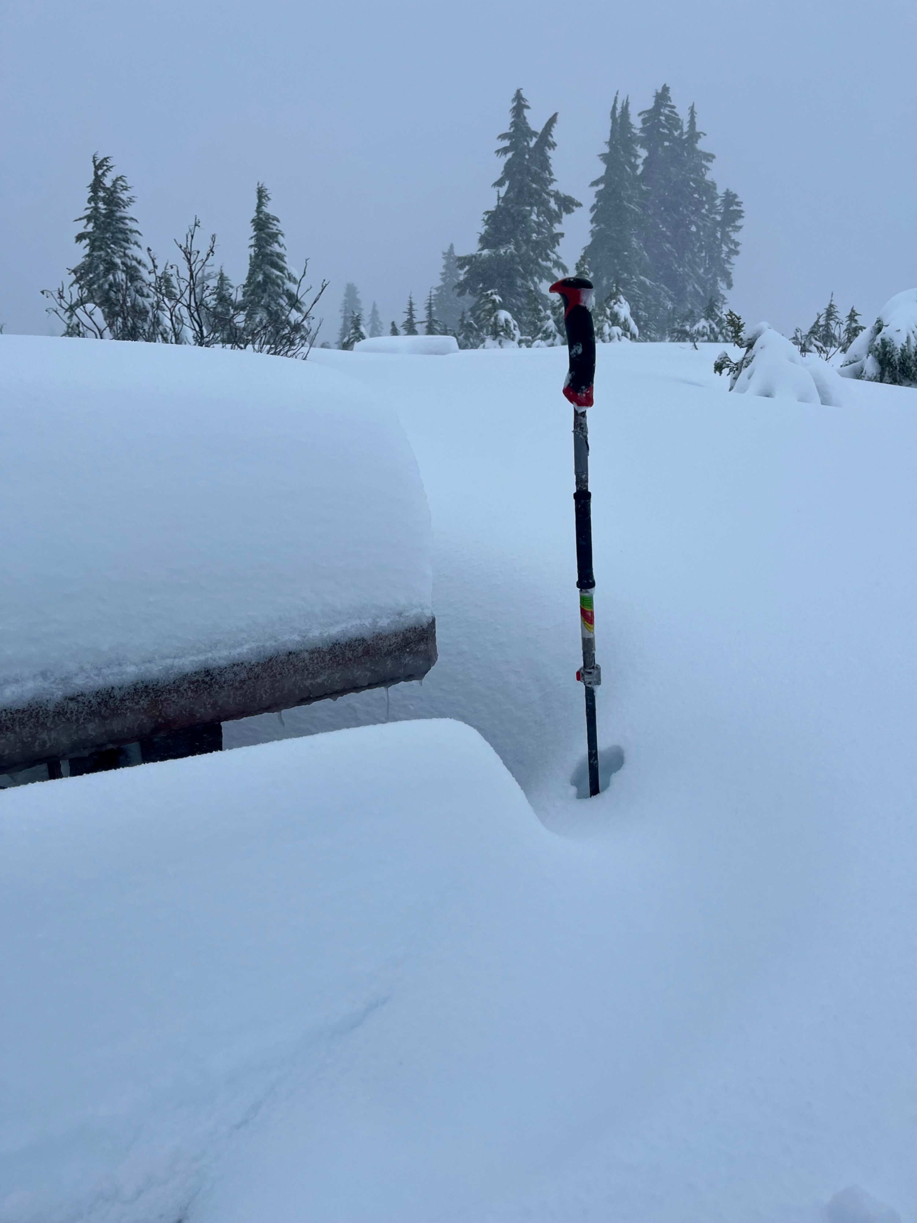
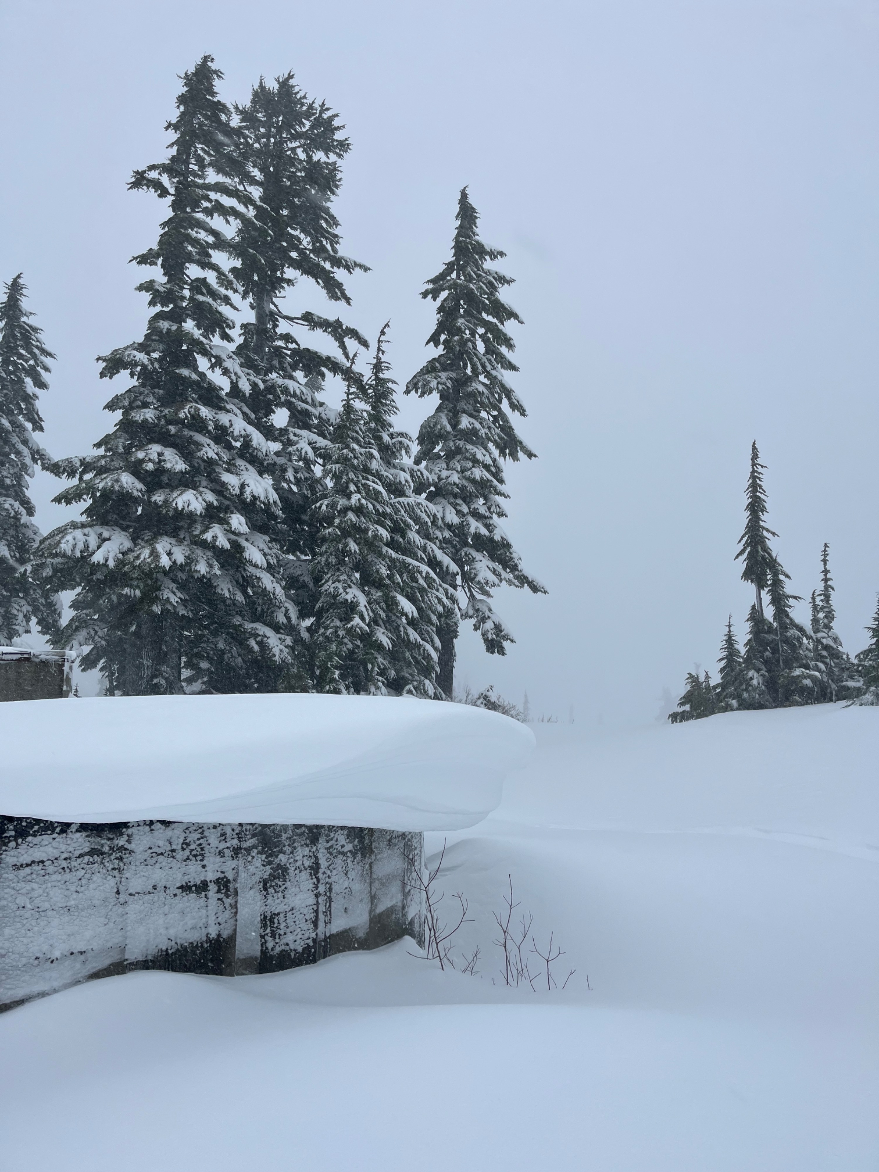
Snow heights were about 60cm at the Heather Meadows parking lot, and 80cm by "Grandma's House". Snow was about 110cm at Austin Pass, and 120-200cm at Artist Point. Nearly all surfaces were wind-affected, but the effect was most pronounced at higher elevations.
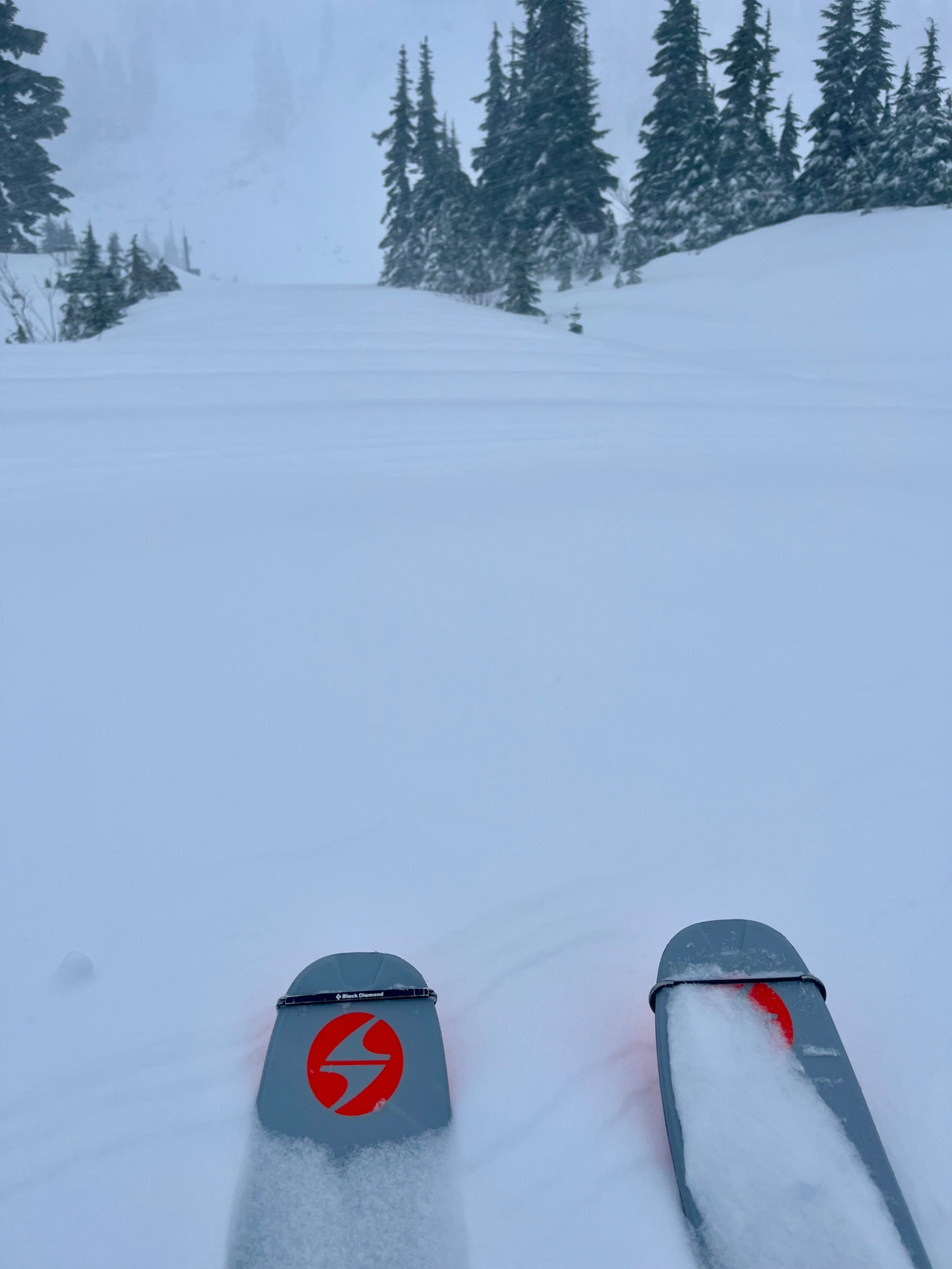
Dry snow sat at the surface, and it was predominantly soft, with about 10-15cm of ski penetration. This layer varied widely due to wind. Aside from wind-effect, snow went from softer to harder as it progressed further down in depth, and there was 5-10cm at the bottom, above a crust, that was 1 Finger and moist. This snow was well-bonded to the crust.
This crust was about 35-45cm below the surface. Occasionally at Artist Point it was up to 60cm deep. Beneath the ~2cm thick crust was about 15cm of layered wet melt forms and moist rounded grains. Then there was another thin crust. Beneath this layer was progressively harder, large-grained, moist melt forms all the way to the ground.
I identified mid-storm instabilities within the top 20 cms of the snowpack, which I found in both moderate and hard compression test results, sudden planar, and I also identified in constant hand pits that I dug as I moved along. These weaknesses were more pronounced where firmer, drifted snow sat at the surface. I didn't get any propagating extended column test results.
Avalanche
I didn't see any avalanches- but visibility was very poor.