
Quick report
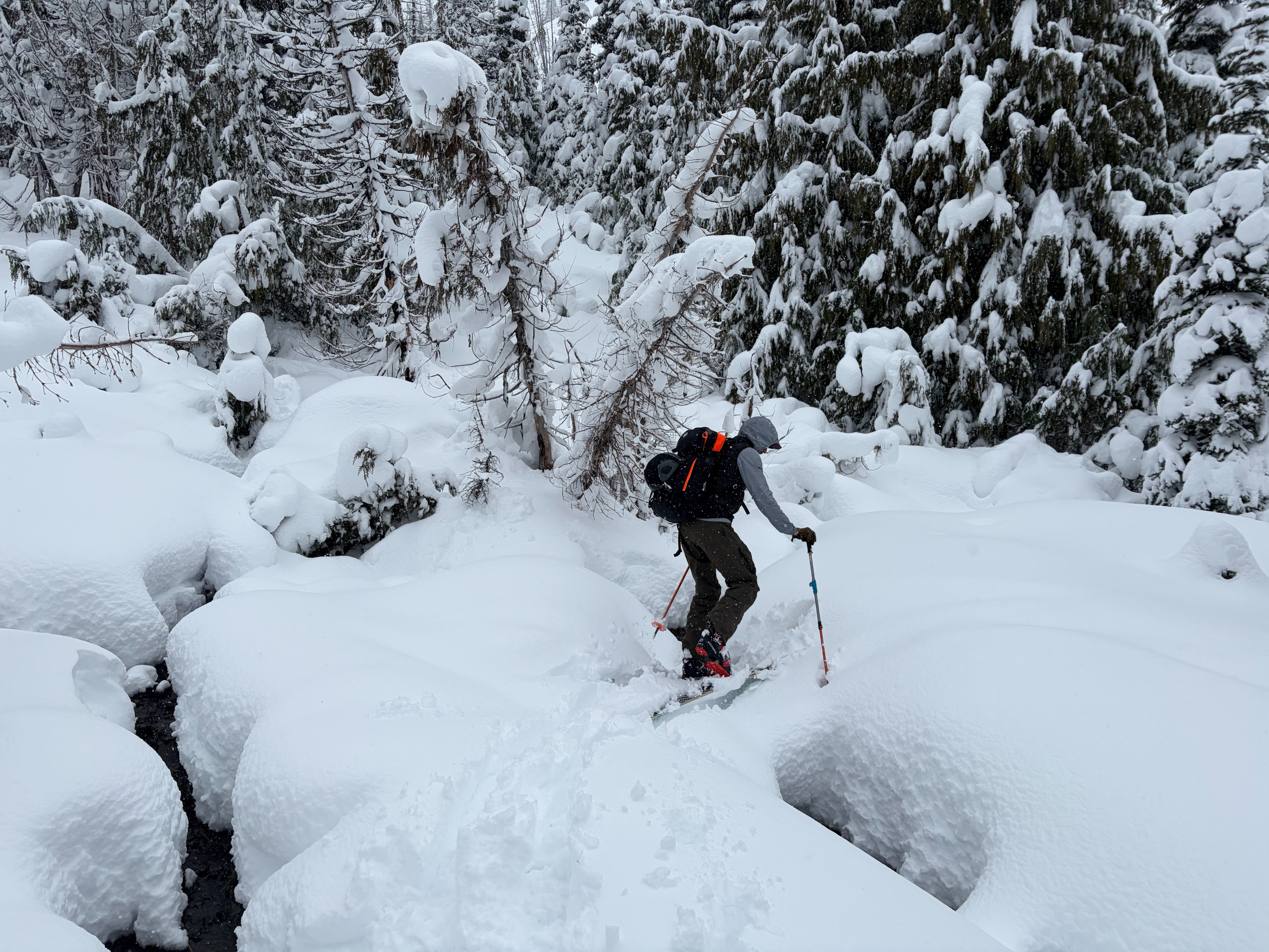
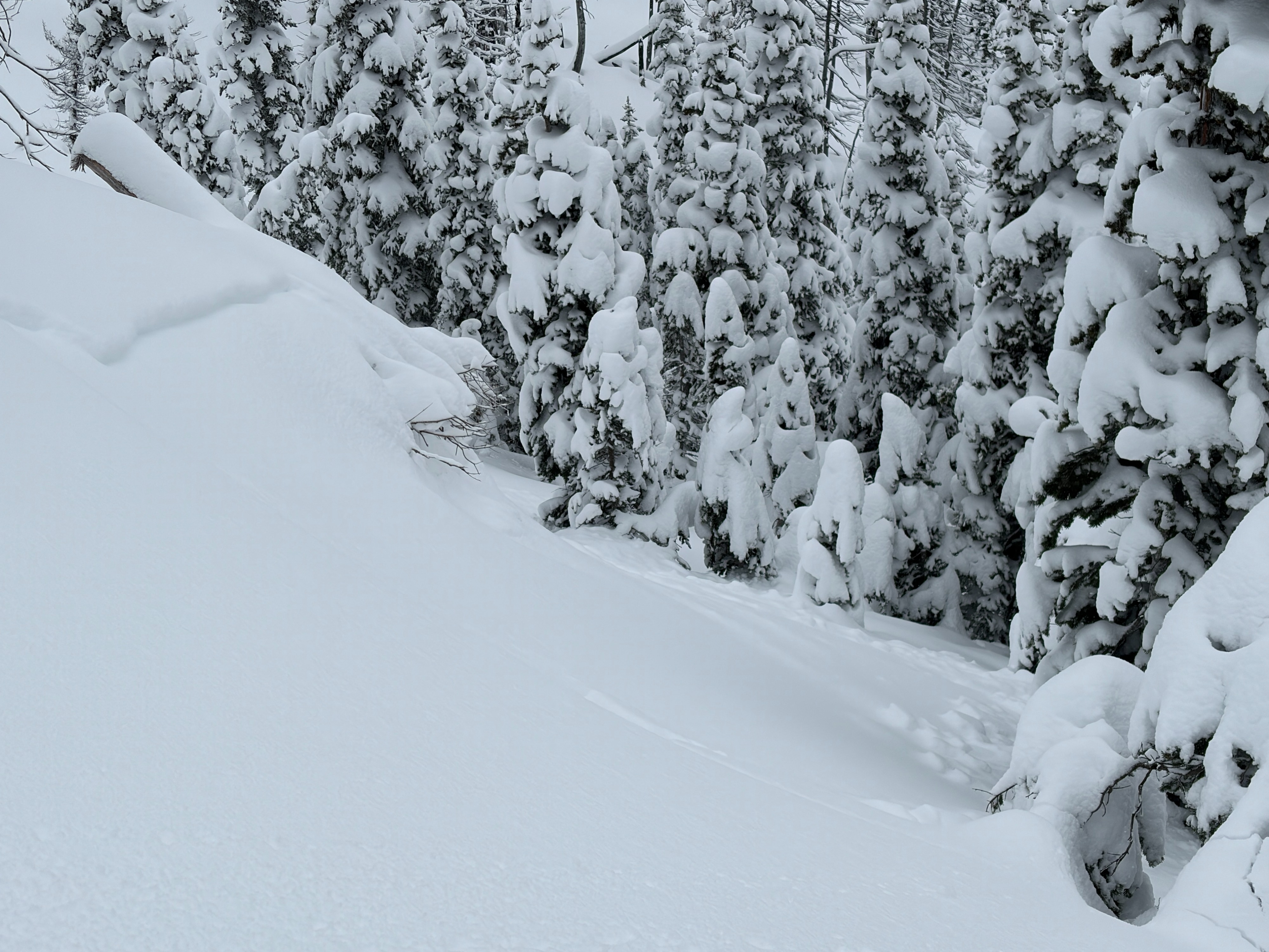
Snow coverage continues to improve around East Peak, Cement Basin, and Lake Basin. The thinnest conditions were found near the trailhead at low elevations, where route finding and consistent snow coverage can be difficult to follow. Mid and upper elevations hold between 65 and 150 cm of snow. Rain fell as high as 5,500 feet, with damp snow observed up to 6,200 feet. On our exit, a surface crust was already beginning to form.
Natural, small wet avalanche activity was observed at low elevations, while mid and upper elevations exhibited small dry slab activity.
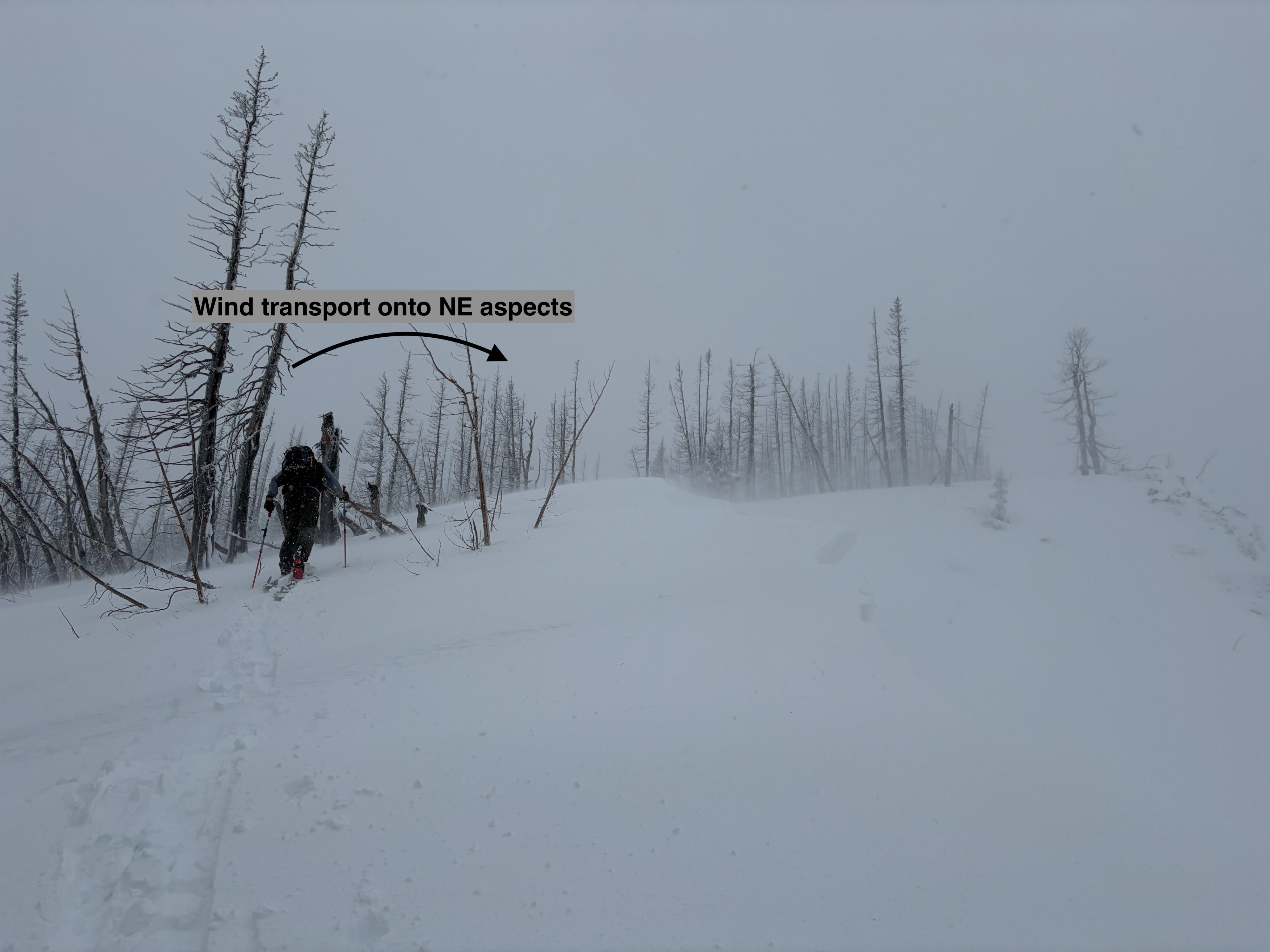
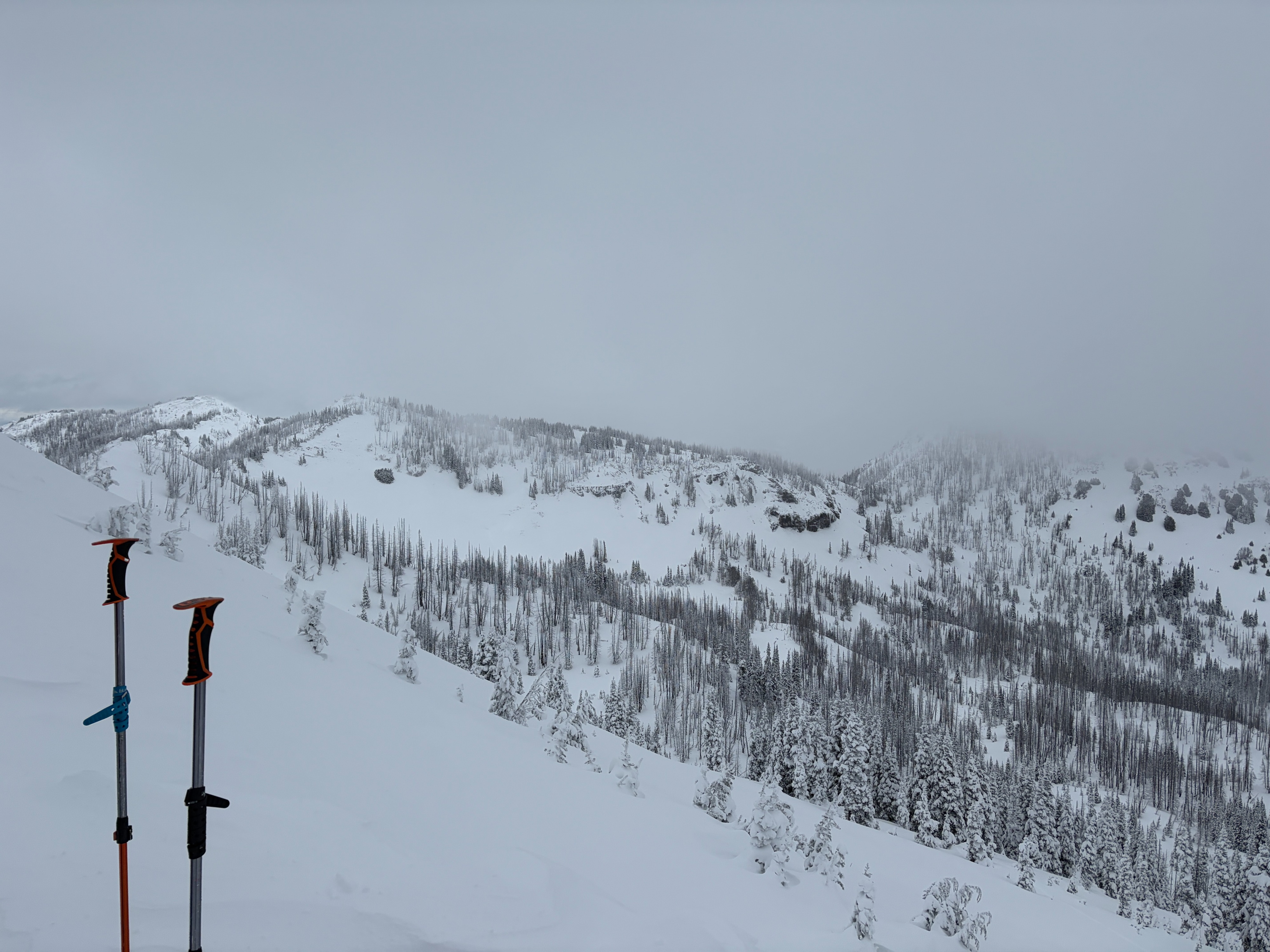
Numerous small (D1) dry slab avalanches were observed across Cement Basin and Lake Basin, occurring on all aspects except southerly. These likely failed earlier this morning with the initial warming, with most releasing ~10-30 feet wide and 6 inches deep. We suspect these slabs failed on a thin graupel layer 15–20 cm below the surface. Actively blowing snow was observed along ridge tops, transporting easterly, southerly, and even westerly. Despite this, we were unable to find reactive wind slabs. Many roller balls and small (D1) loose wet avalanches were also observed at low elevations.Weather
- Air Temp
- 28-32
- Cloud Cover
- overcast
- Wind Loading
- moderate
- Rain Elevation
- 5,500
- Snow Avail For Transport
- moderate amounts
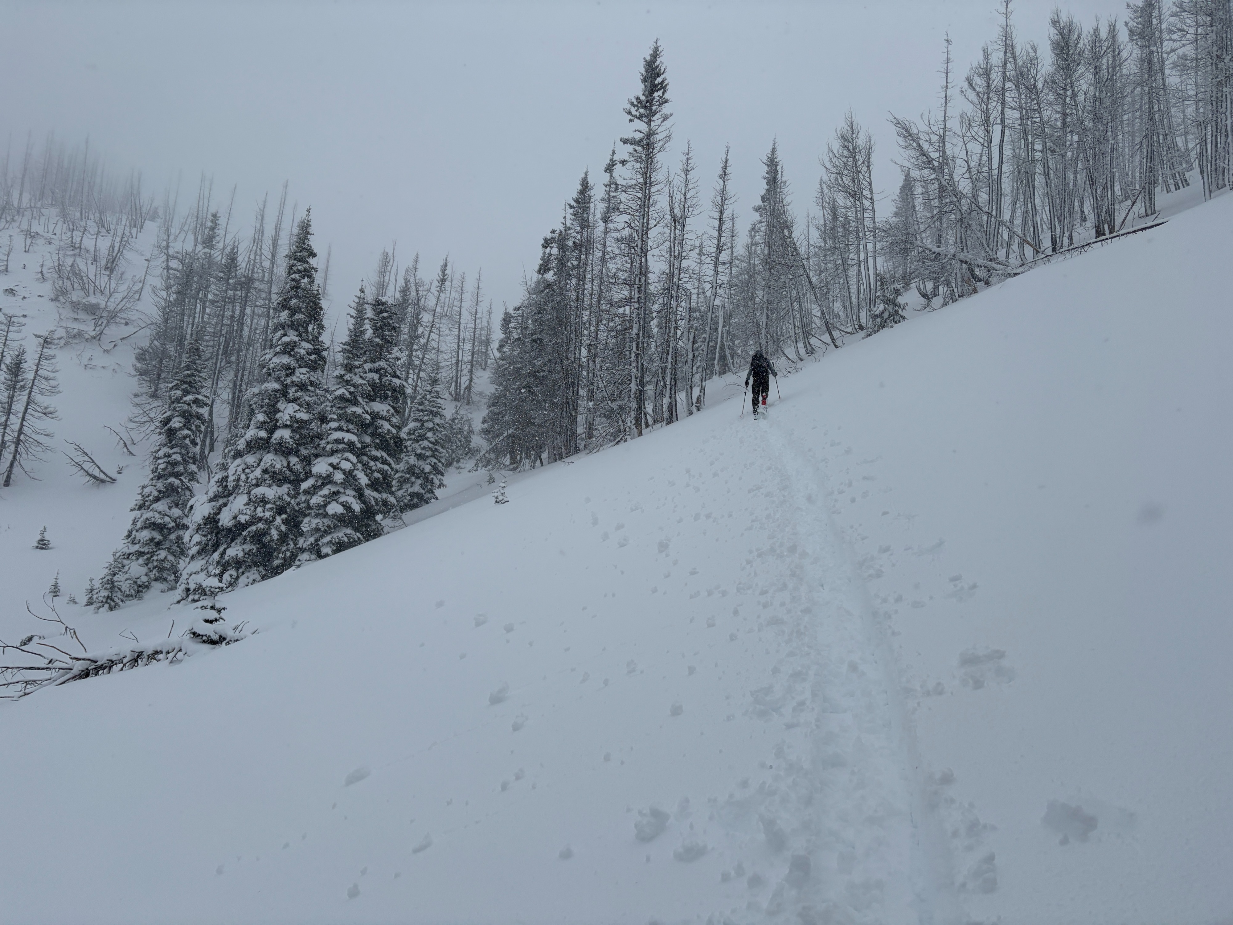
Heavy rain greeted us as we left the car. Precipitation transitioned to snow around 5,500 feet, though soggy conditions persisted up to approximately 6,200 feet. Precipitation continued on and off throughout the remainder of the day. Temperatures were generally below freezing at mid and upper elevations. Strong winds blew at ridge tops, but were largely unnoticeable in basin bottoms. Brief slivers of blue sky appeared at times, but were short-lived.
Snowpack
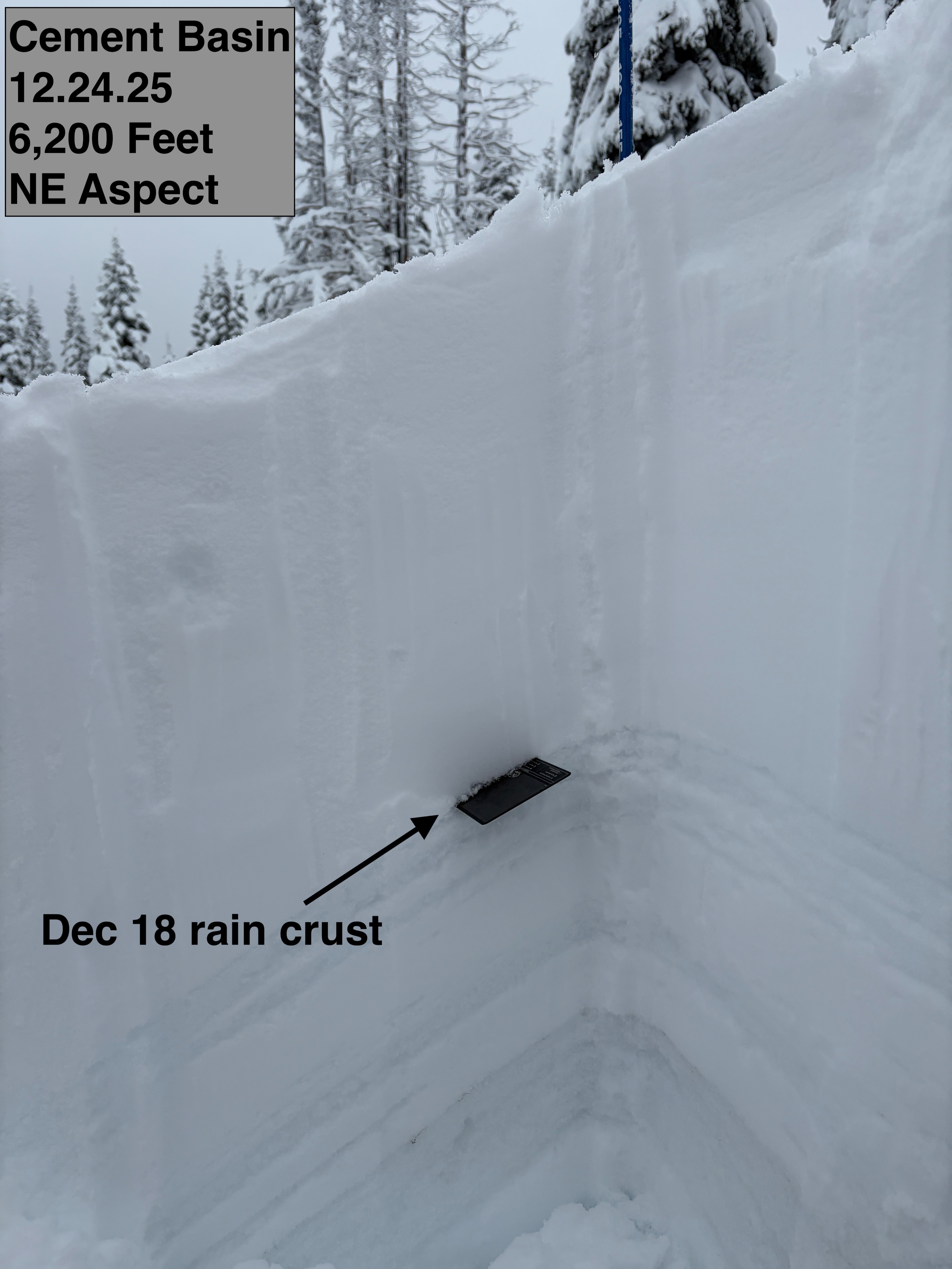
Forecasters dug eight separate snow pits across the East Peak, Cement Basin, and Lake Basin areas, all between 6,200 and 6,500 feet, spanning SW, S, E, NE, N, NW, and W aspects. Snow depths ranged from 65 to 70 cm on southwest aspects to 120–150 cm on easterly and northerly aspects.
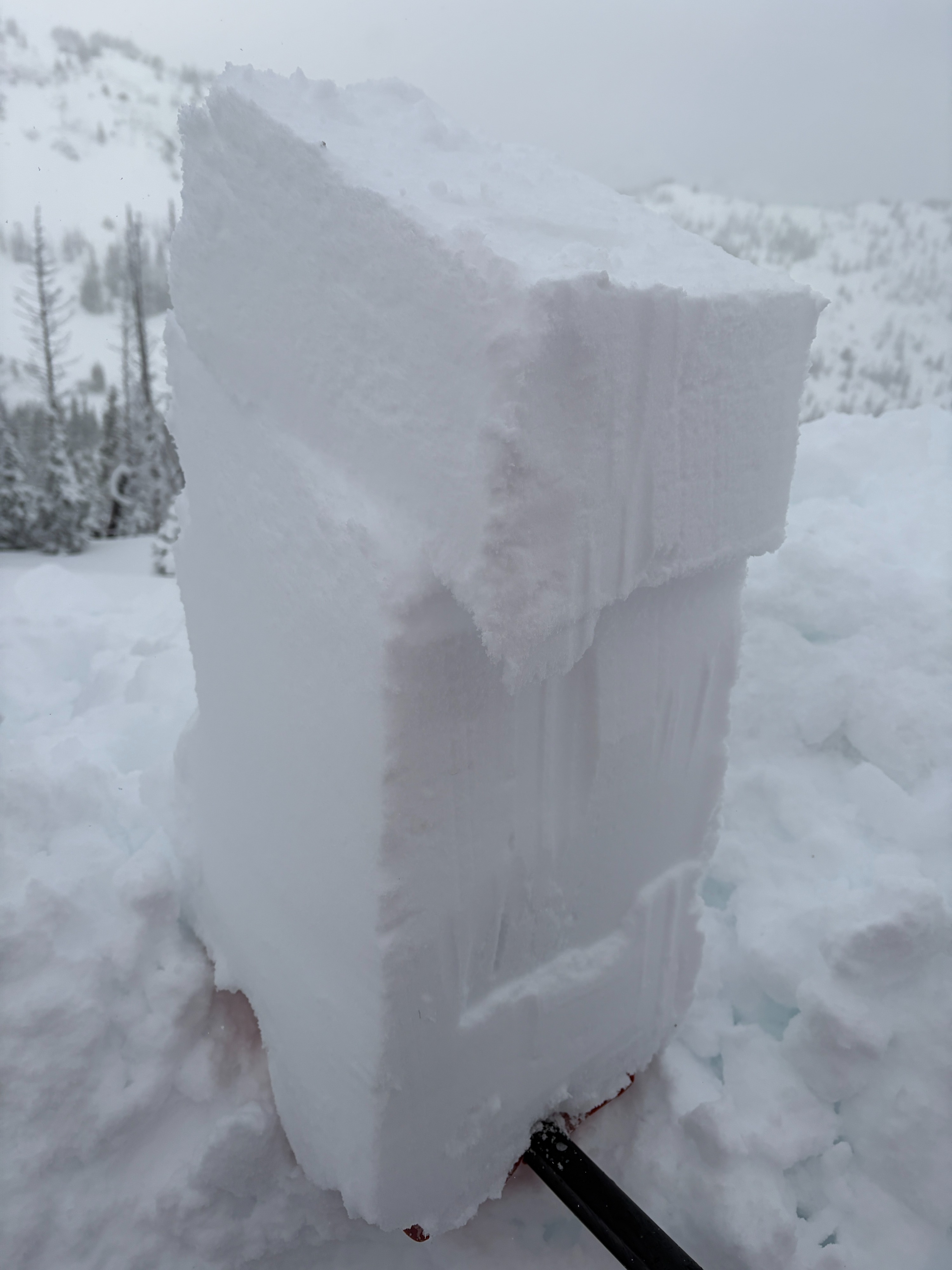
The snowpack in these areas was very consistent in structure. From the ground up, it consisted of a series of melt-freeze crusts and old snow (mid-December crusts), capped by the December 18 rain crust, with 50+ cm of more recent snow above. Pit tests showed little evidence of lingering weak layers or future weakening concerns. That said, a thin graupel layer located ~15–20 cm below the surface did show failures in shovel tilt tests and ECTs (with no propagation), and was likely the culprit for the numerous small natural avalanches observed.