
Quick report
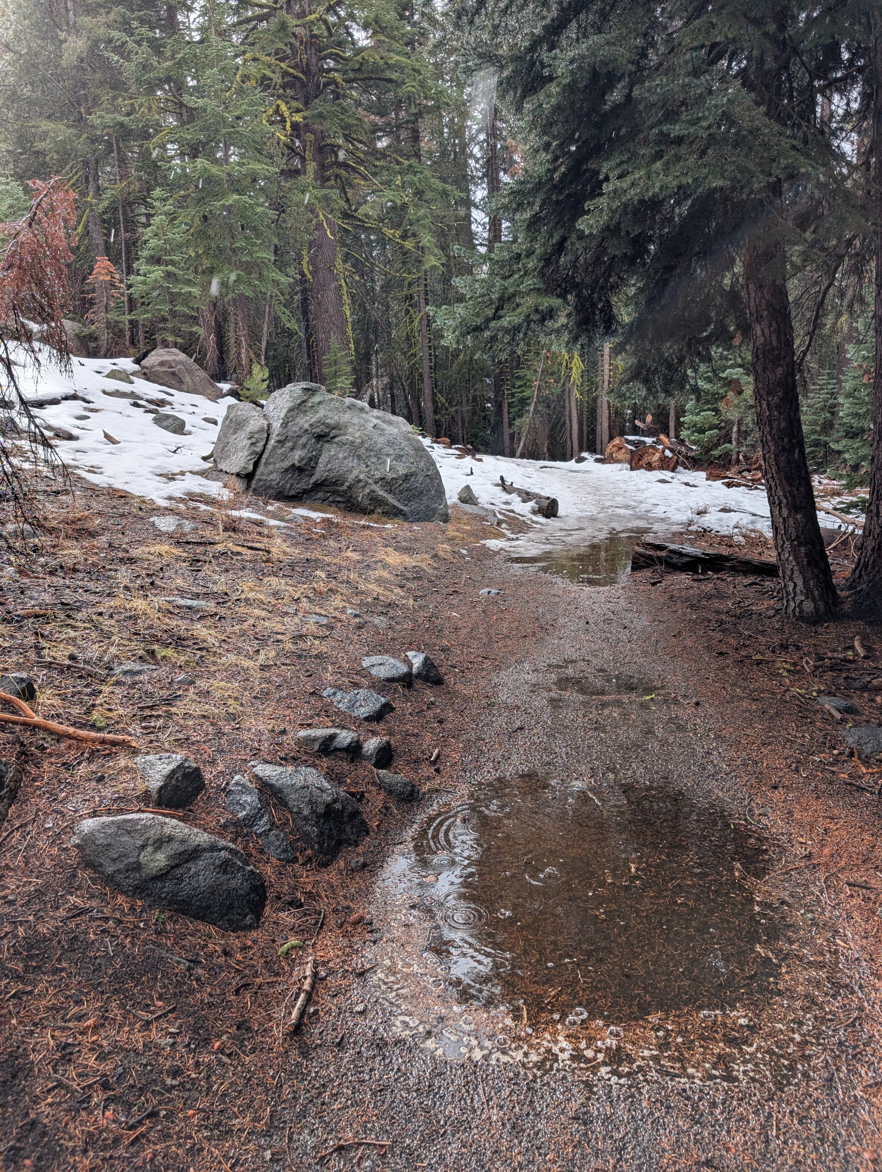
Numerous rainbows provided the highlight of our trip to Carson Pass today. Of course, it has to be raining to get rainbows, so we also saw lots of wet snow, flowing creeks, and melting. Two main things stood out at Carson Pass today:
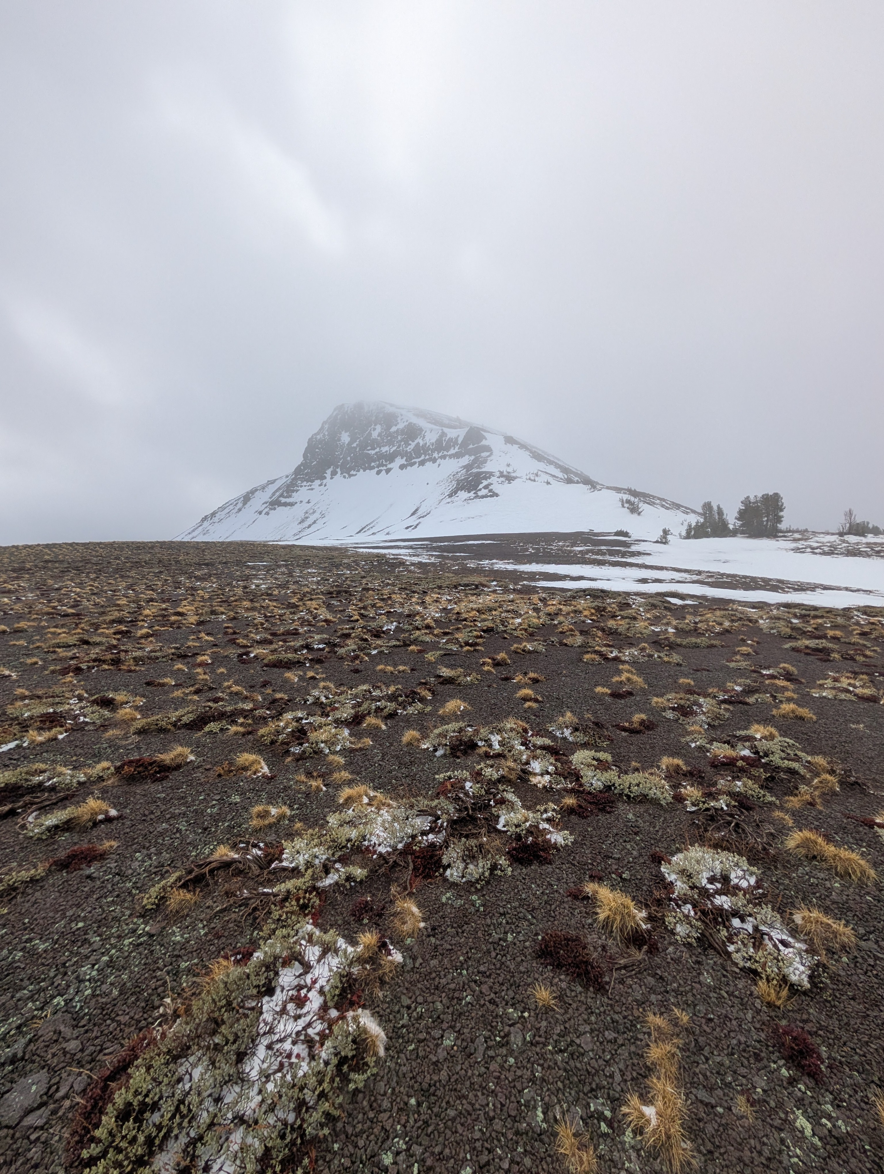
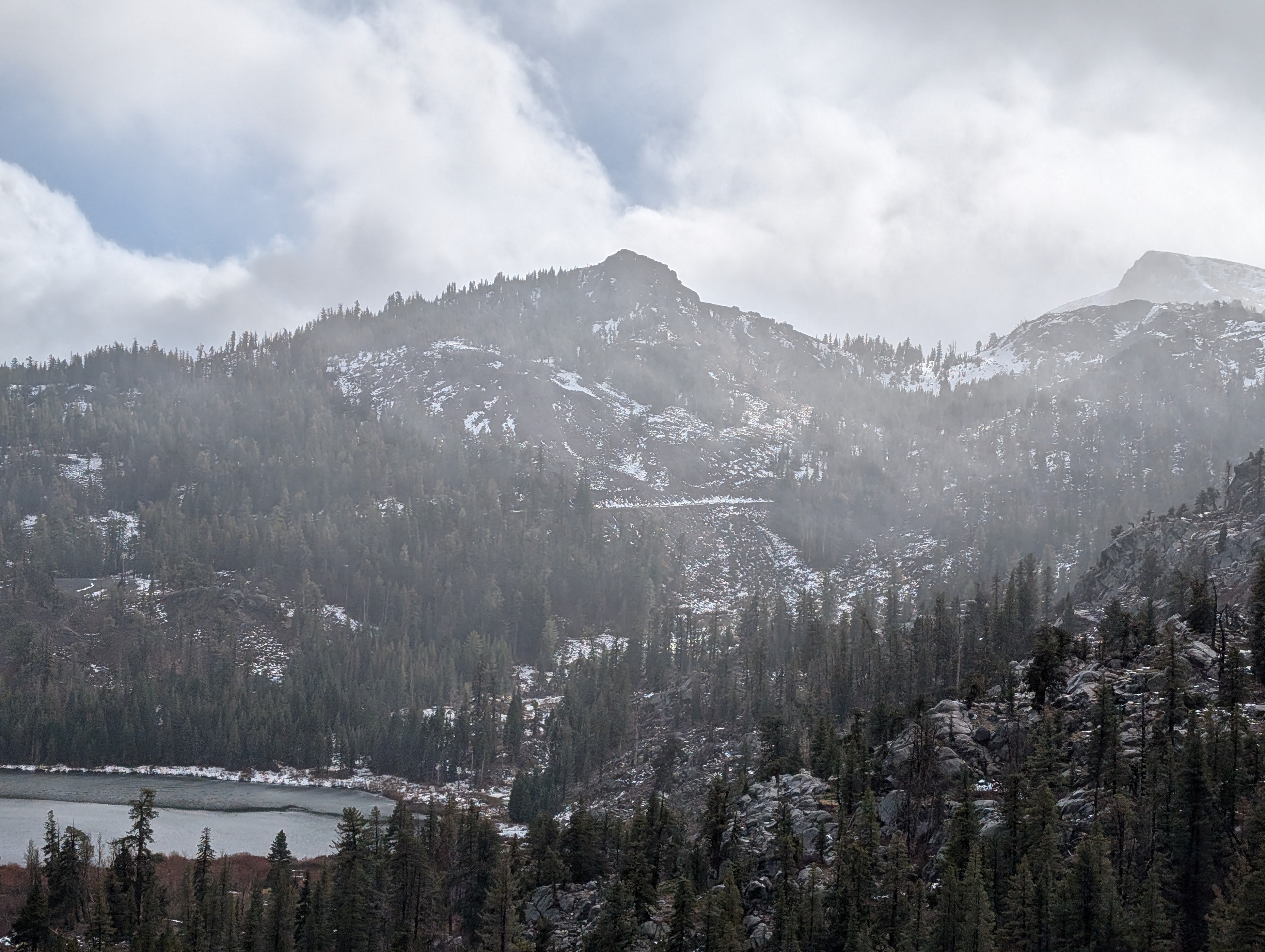
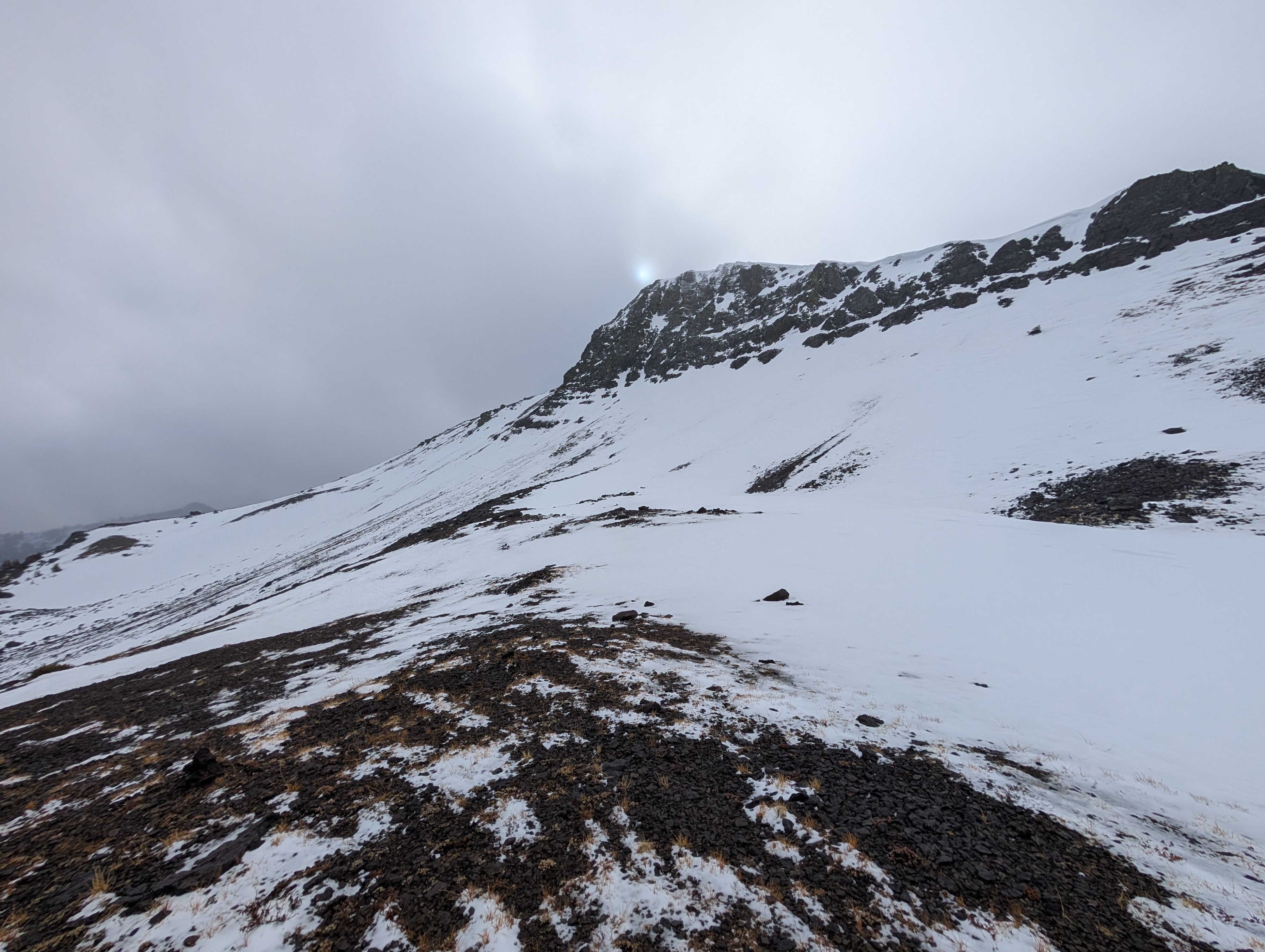
- Snow coverage has decreased in this area since our last visit. E-SE-S-SW-W aspects mostly held exposed ground. The due N aspects still have some snow, but the recent warm weather has affected those slopes as well. Areas below 8800 ft that previously held snow only have patchy snow coverage now. N-facing slopes higher than 9000 ft and previously wind-loaded slopes held the most snow, with 12 to 18 inches in some places.
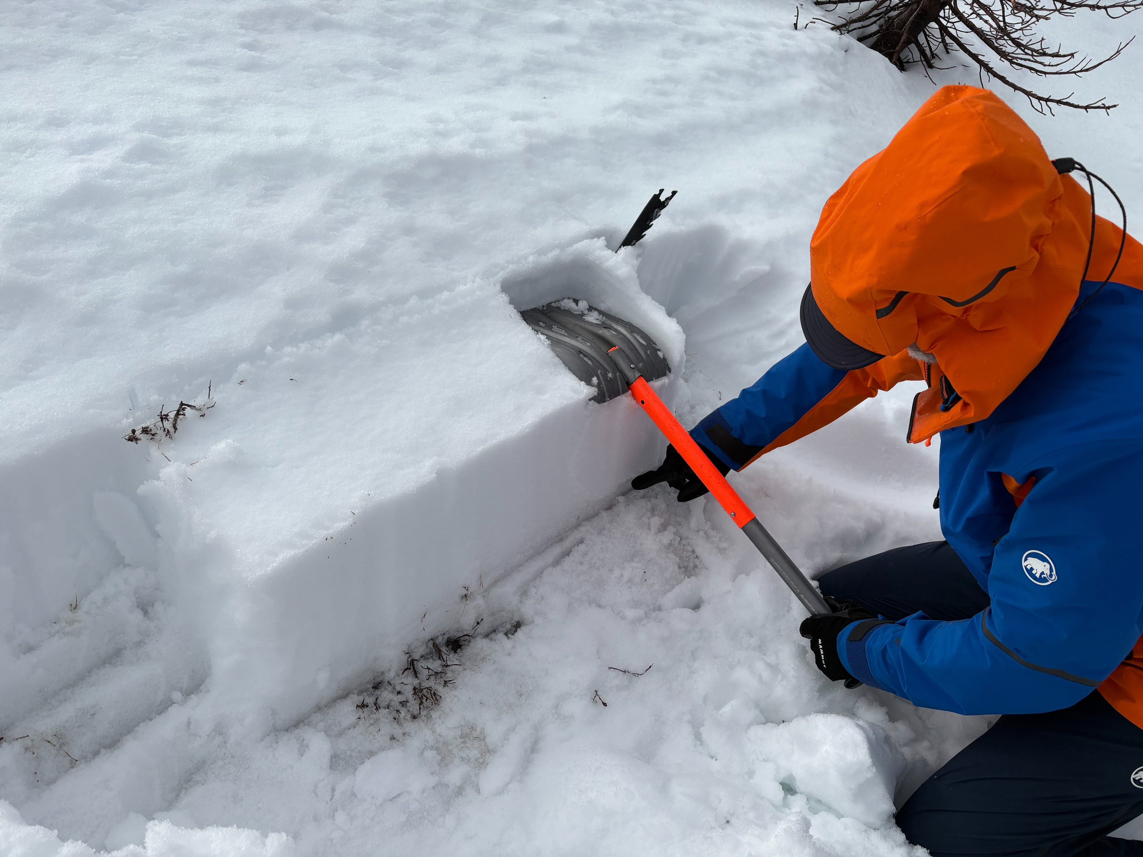
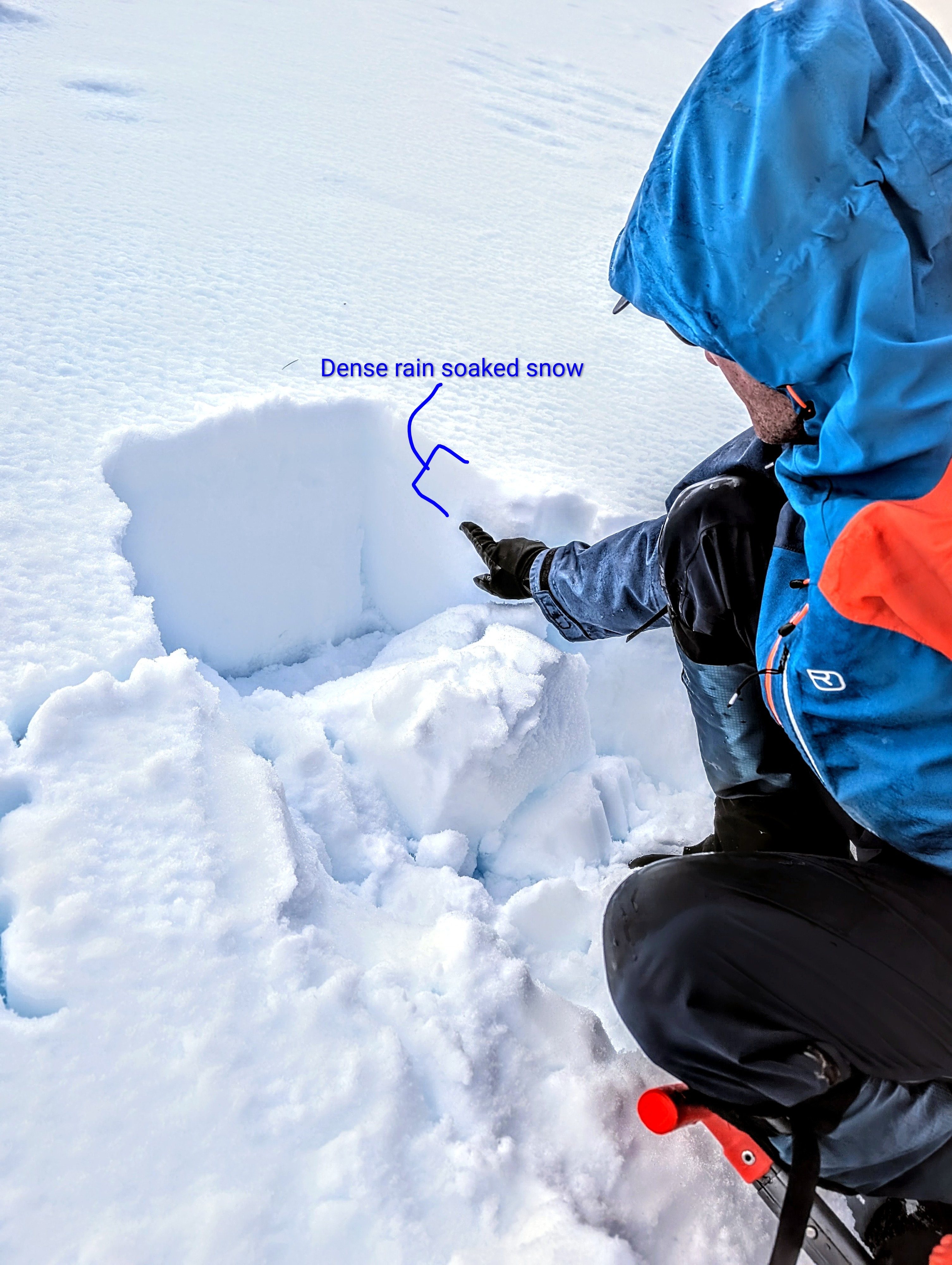
- Wherever snow existed, it was wet. The rain had soaked through the entire snowpack in places where more unconsolidated snow existed before this storm, leaving moist to wet snow in place of the previously loose, weak snow (facets). In the areas where denser wind-packed snow existed, 3-4 inches of dense rain-soaked snow rested on top of moist snow. Multiple tests in various spots did not produce unstable results.
Weather
- Air Temp
- 39°F
- Cloud Cover
- overcast
- Rain Elevation
- above 9500 ft.
- Recent Snowfall
- 0
Heavy rain alternated with periods of light or no precipitation until the afternoon at Carson Pass. The winds remained consistently strong.