
Quick report
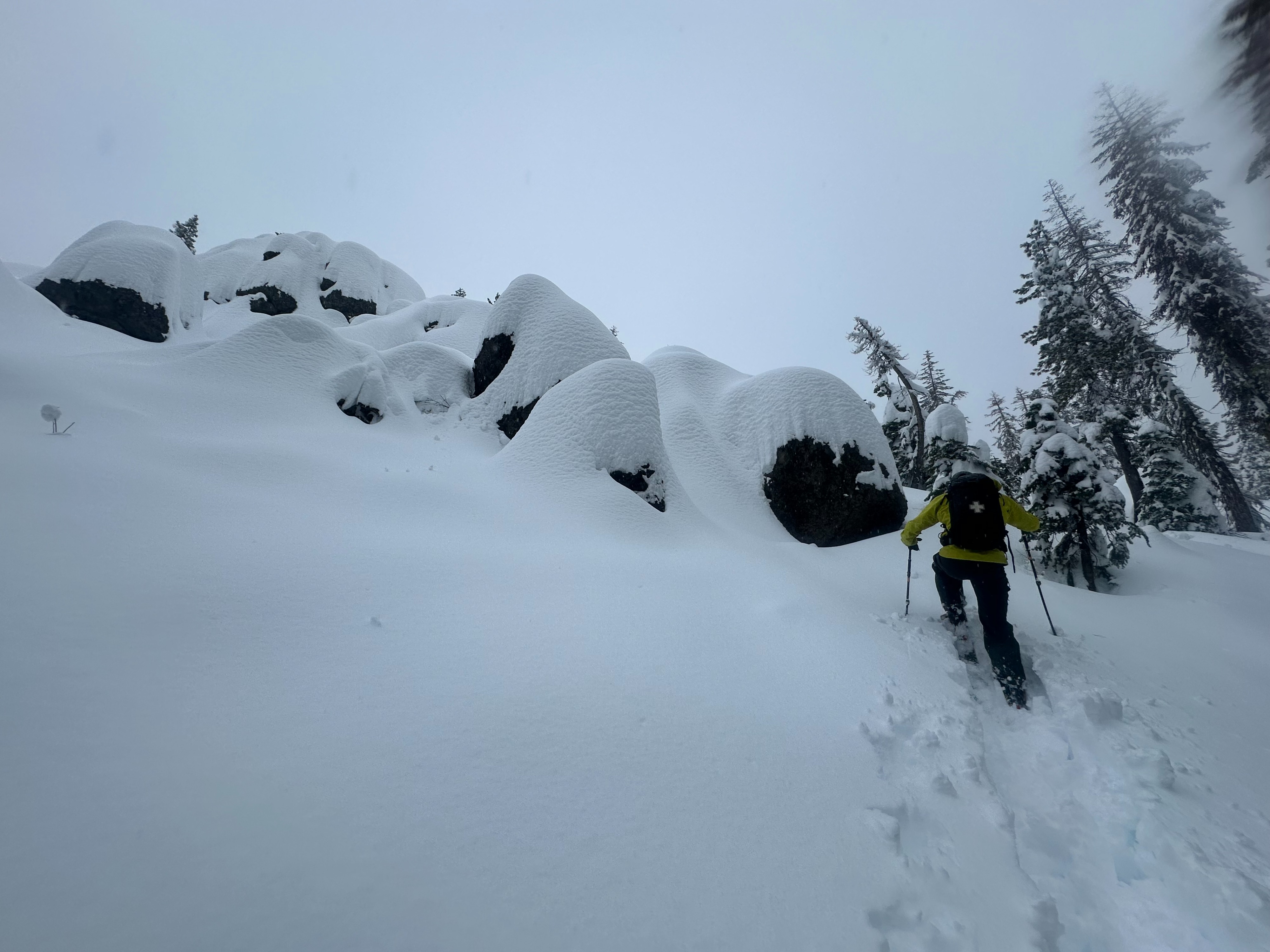
We found a highly saturated snowpack that provided less than ideal skiing conditions but will likely set us up for a stable start to this major storm system projected to hit the Tahoe basin this upcoming week. Moderate winds on ridges with mixed precipitation created deteriorating conditions as we toured.
Weather
- Air Temp
- 34
- Cloud Cover
- overcast
- Wind Loading
- none
- Recent Snowfall
- 60
- Snow Avail For Transport
- small smounts
Mixed precipitation that moved to rain from noon to 14:00. Moderate winds on ridgelines.
Snowpack
We found a homogonous snowpack at our test location @ 7,500 ft on a NE aspect off of Andesite Peak. 60cm of new, high density snow was observed above a 1cm rain crust with another 30cm of old snow below. The layer I'm concerned about would be the Nov 17th rain crust layer and its reactivity as this storm's loading event progresses.