
Quick report
- Cracking
- isolated
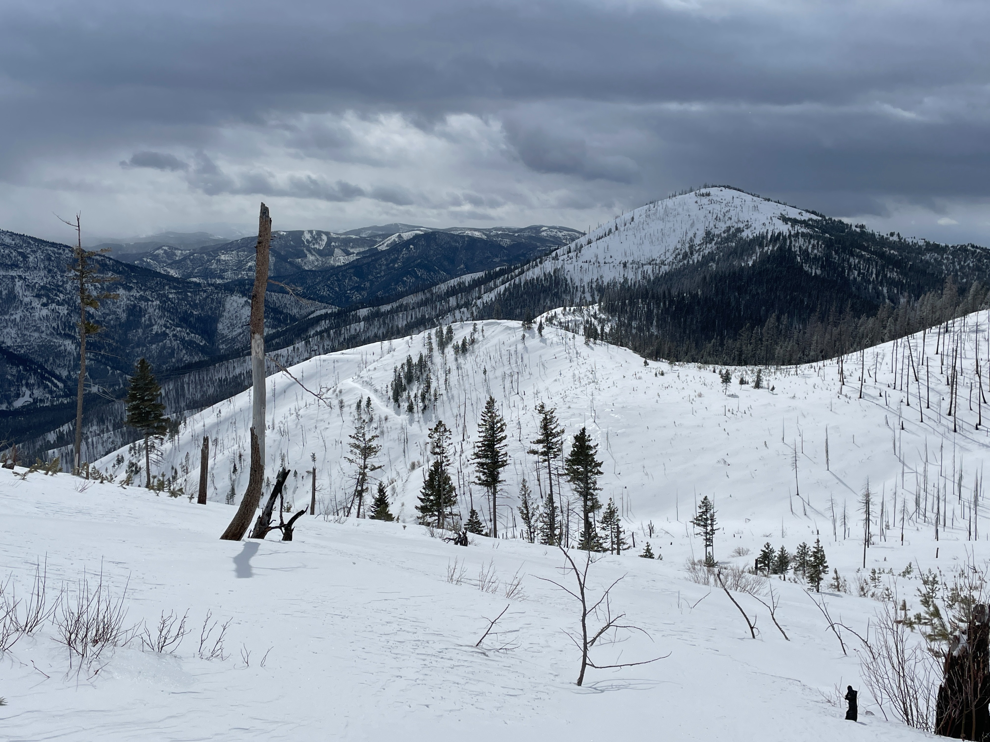
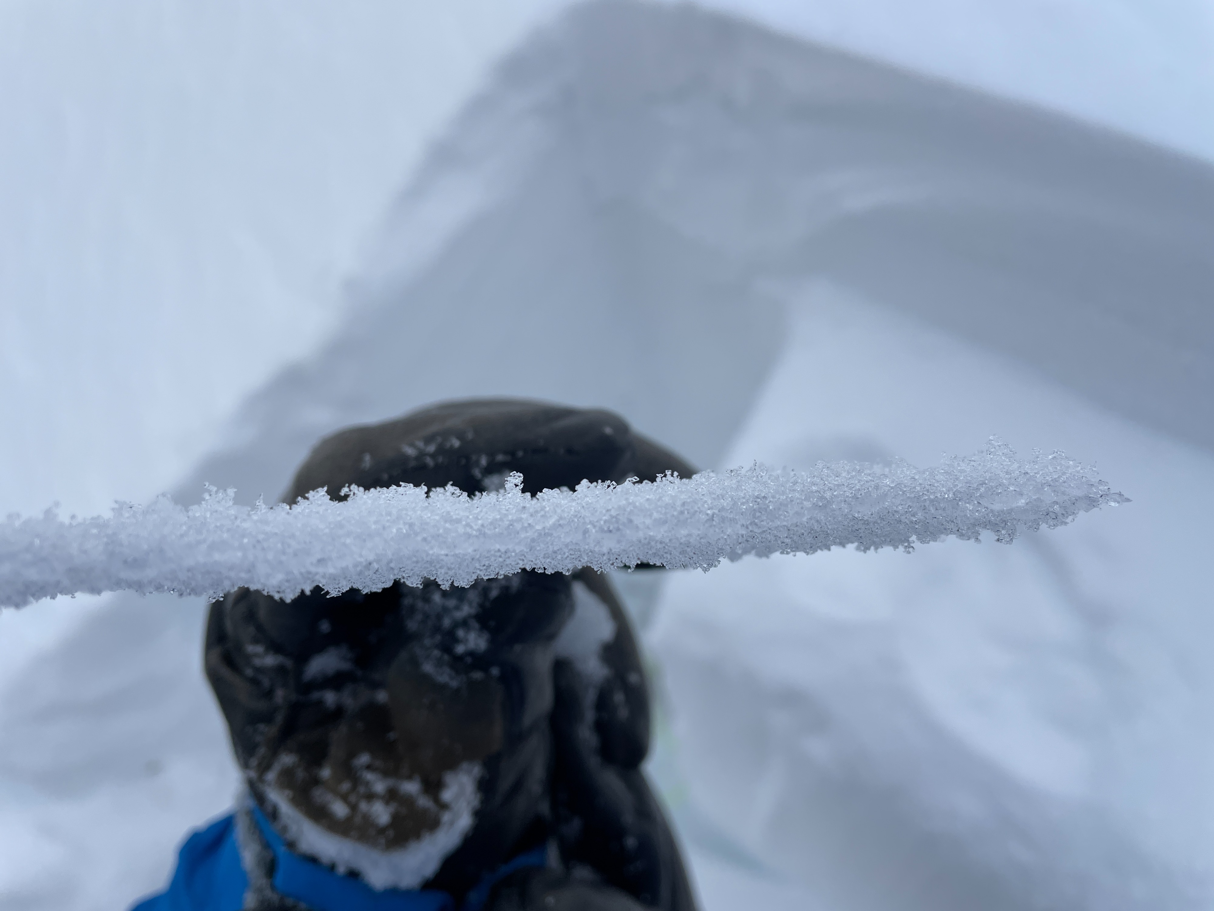
Today we found 3 to 5 inches of new snow on a semi-supportable crust and moderate to strong west winds in exposed areas. Below 5500 ft, the crust was mostly unsupportable in non-skier-compacted areas with moist/wet snow to the ground. Above 5500 ft the snowpack became dry.
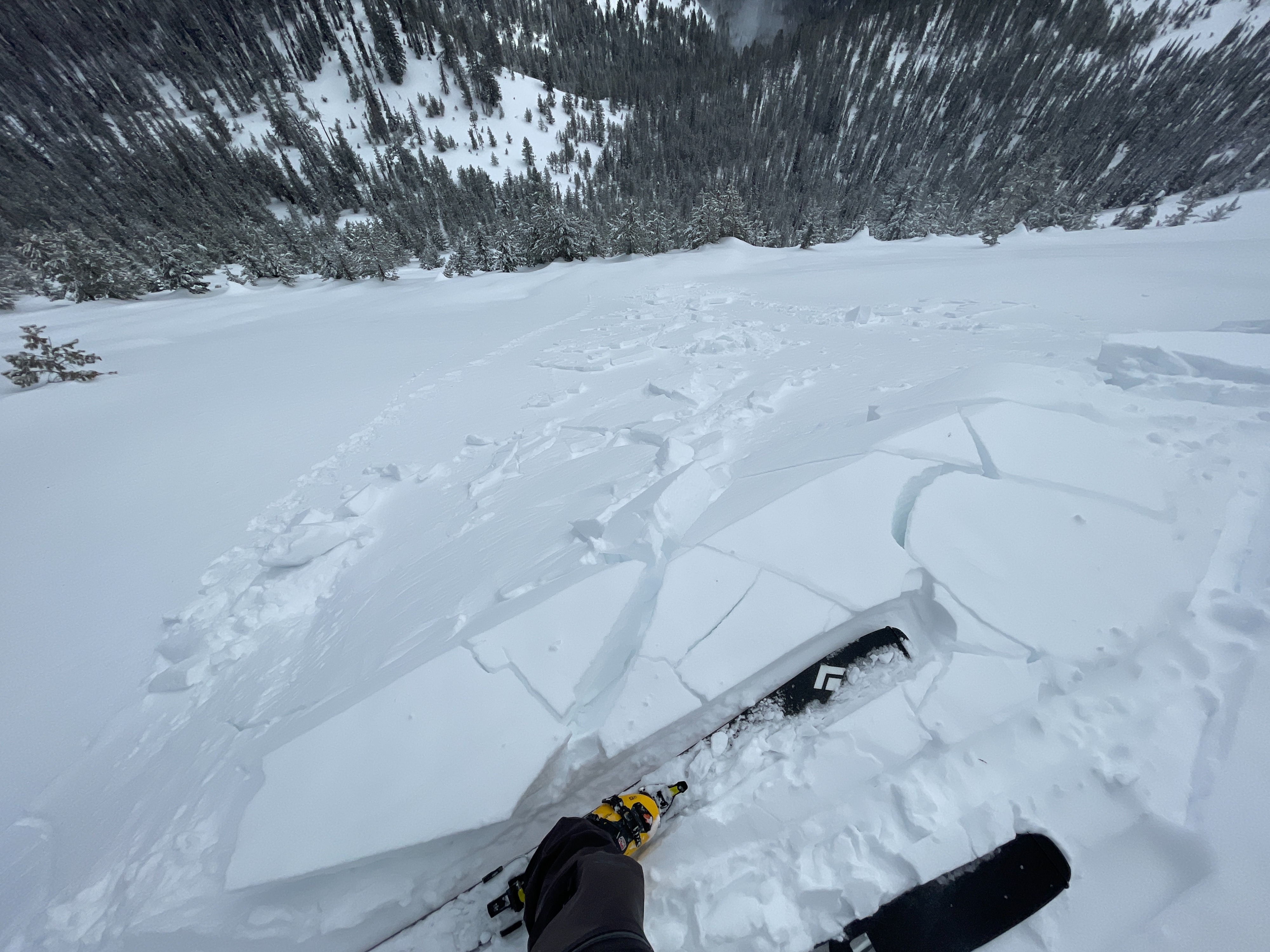
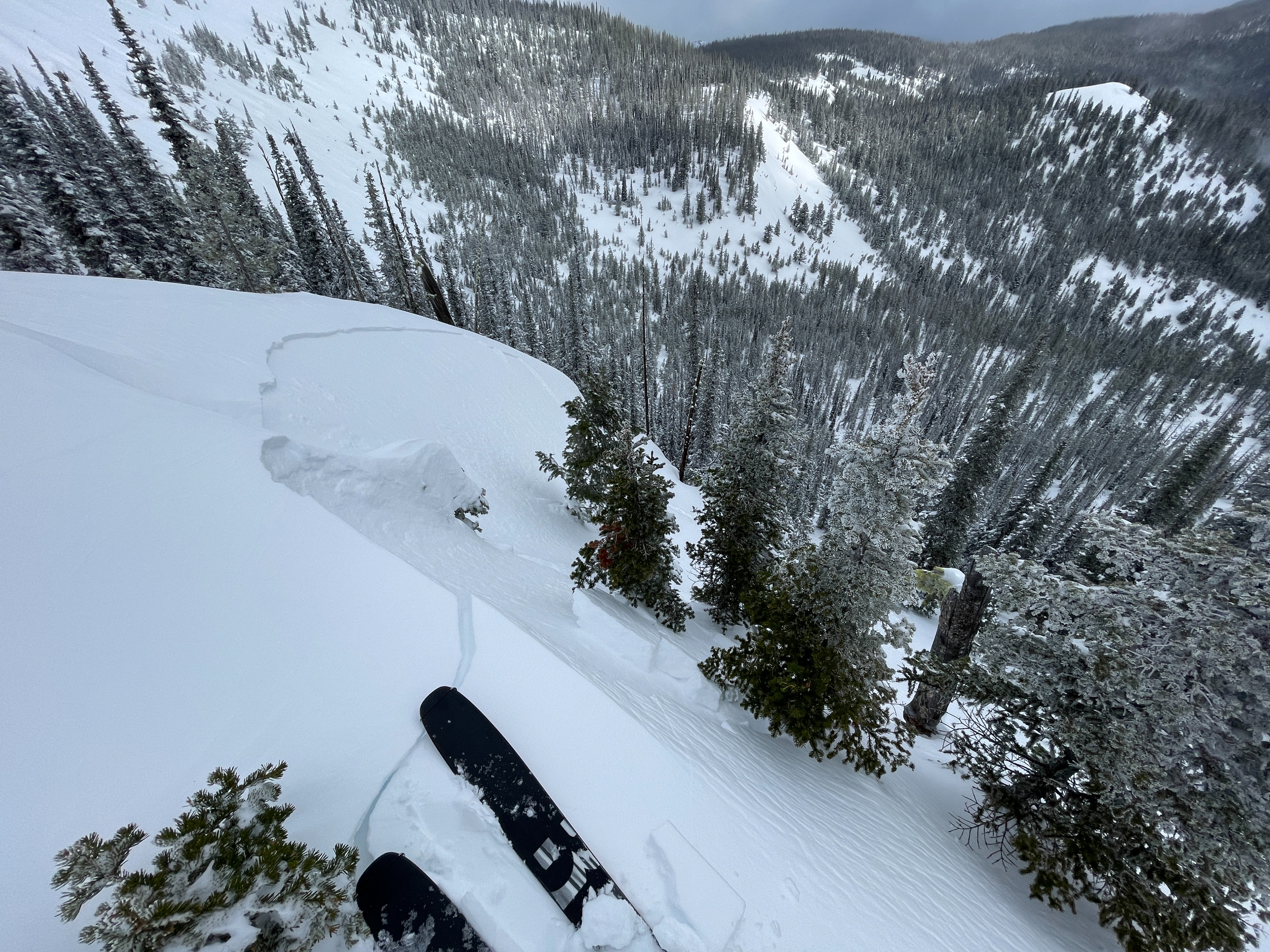
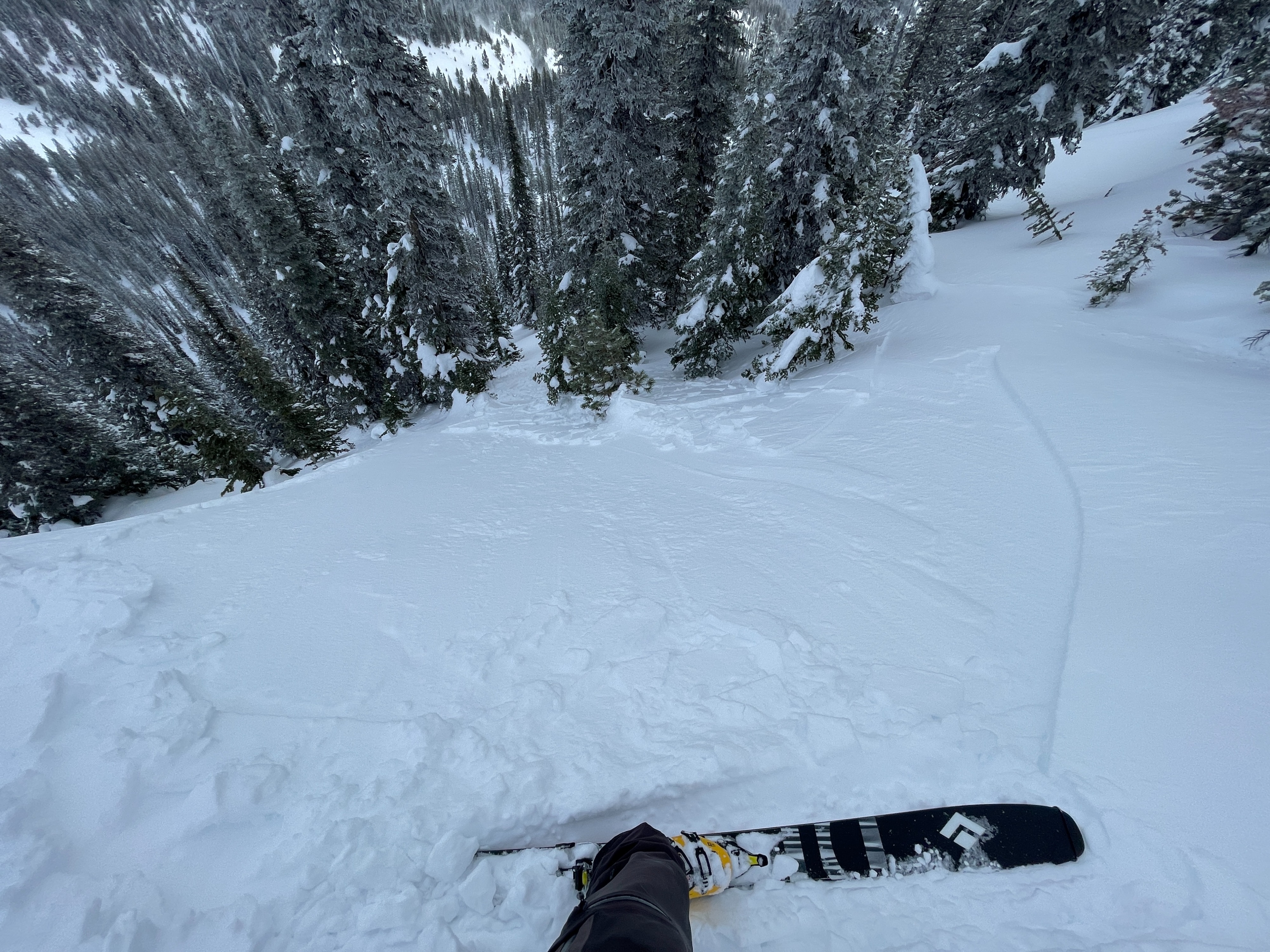
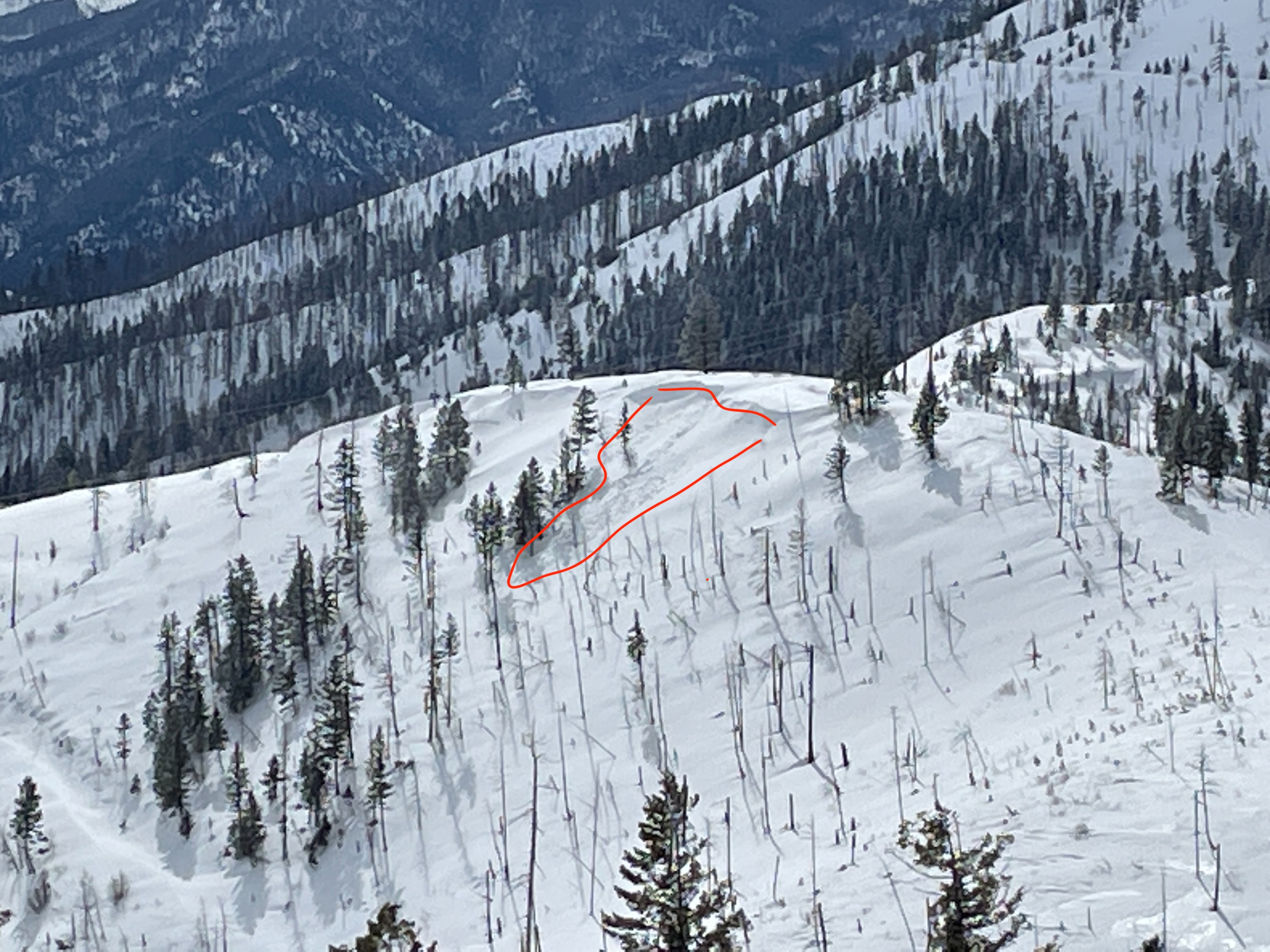
We intentionally triggered several sensitive small wind slabs on east aspects isolated to right along ridge lines today. They were generally 15-30 ft wide and 4-8 inches deep.
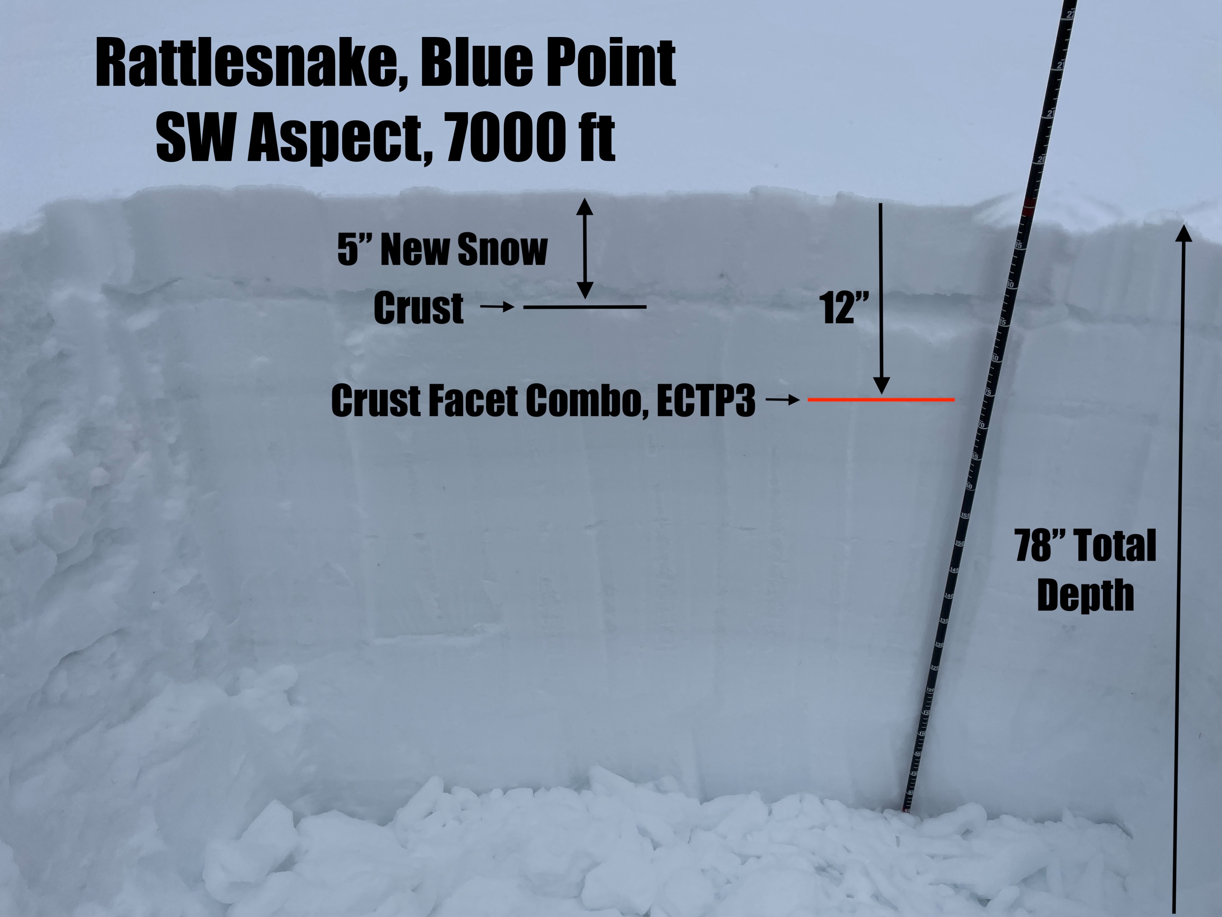
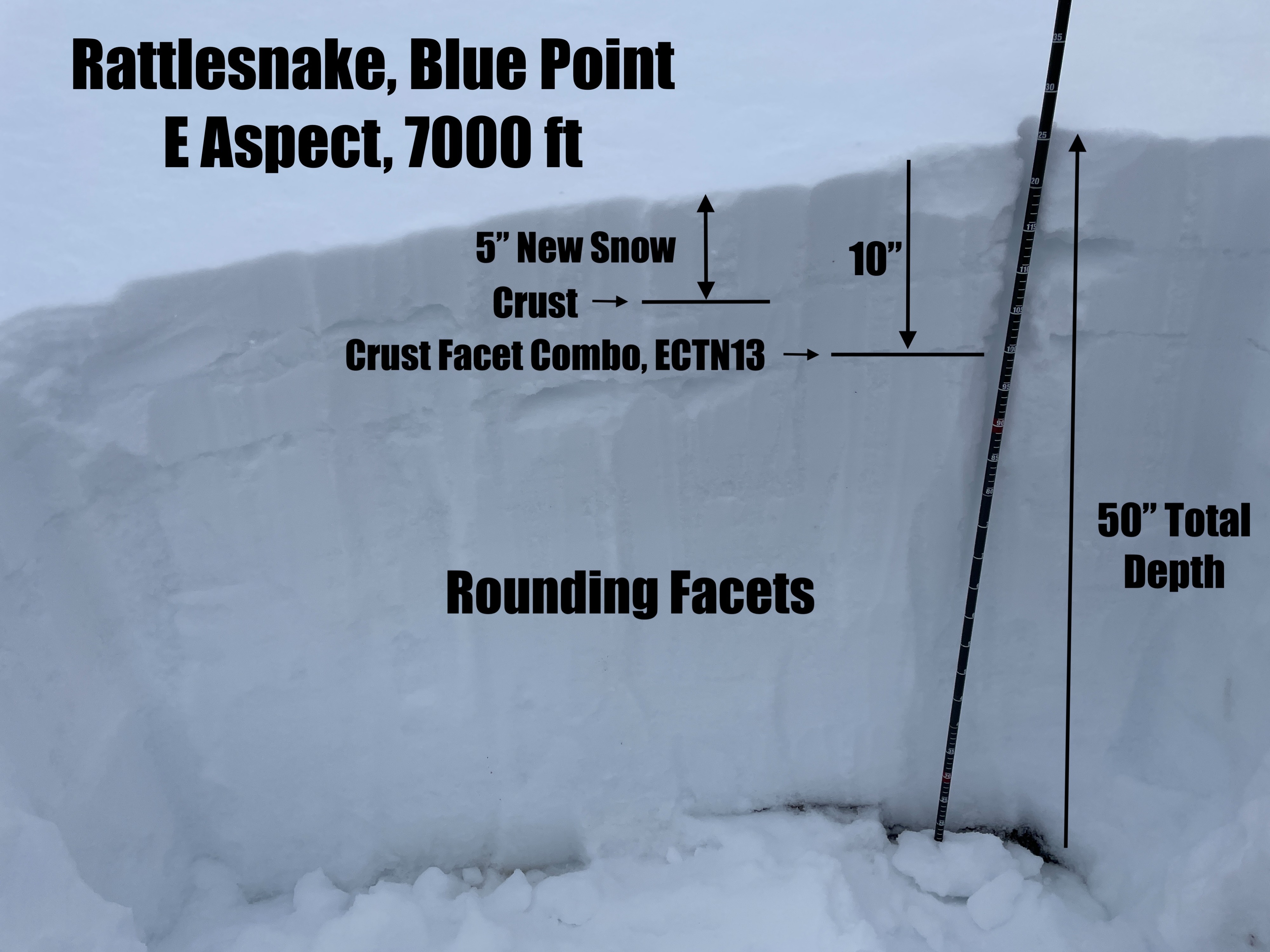
We dug two snowpits at 7000 ft and found a crust facet combo buried 10-12" deep in both. On a southwest aspect, extended column tests propagated easily on the crust facet layer (ECTP3). On an east aspect, the layer failed but did not propagate (ECTN13). The slab above the layer is not very cohesive. A thicker crust in the middle of the slab on the southwest aspect likely gave the slab the strength to propagate. We did not observe any collapsing on the crust facet layer today. There is some uncertainty regarding the sensitivity of this layer. However, it felt unlikely to trigger in our travels today.
With increased sunshine in the afternoon, the new snow became moist on south aspects during our exit.
Weather
- Air Temp
- 19
- Cloud Cover
- broken
- Wind Loading
- moderate
- Recent Snowfall
- 3-5"
- Snow Avail For Transport
- small smounts
Skies started out overcast with light snow this morning and became broken late in the morning. Winds were moderate to strong out of the west in exposed areas. Temperatures were cool. We measured an air temperature of 19 degrees Fahrenheit at 11:30 am at 7000 ft.