
Quick report
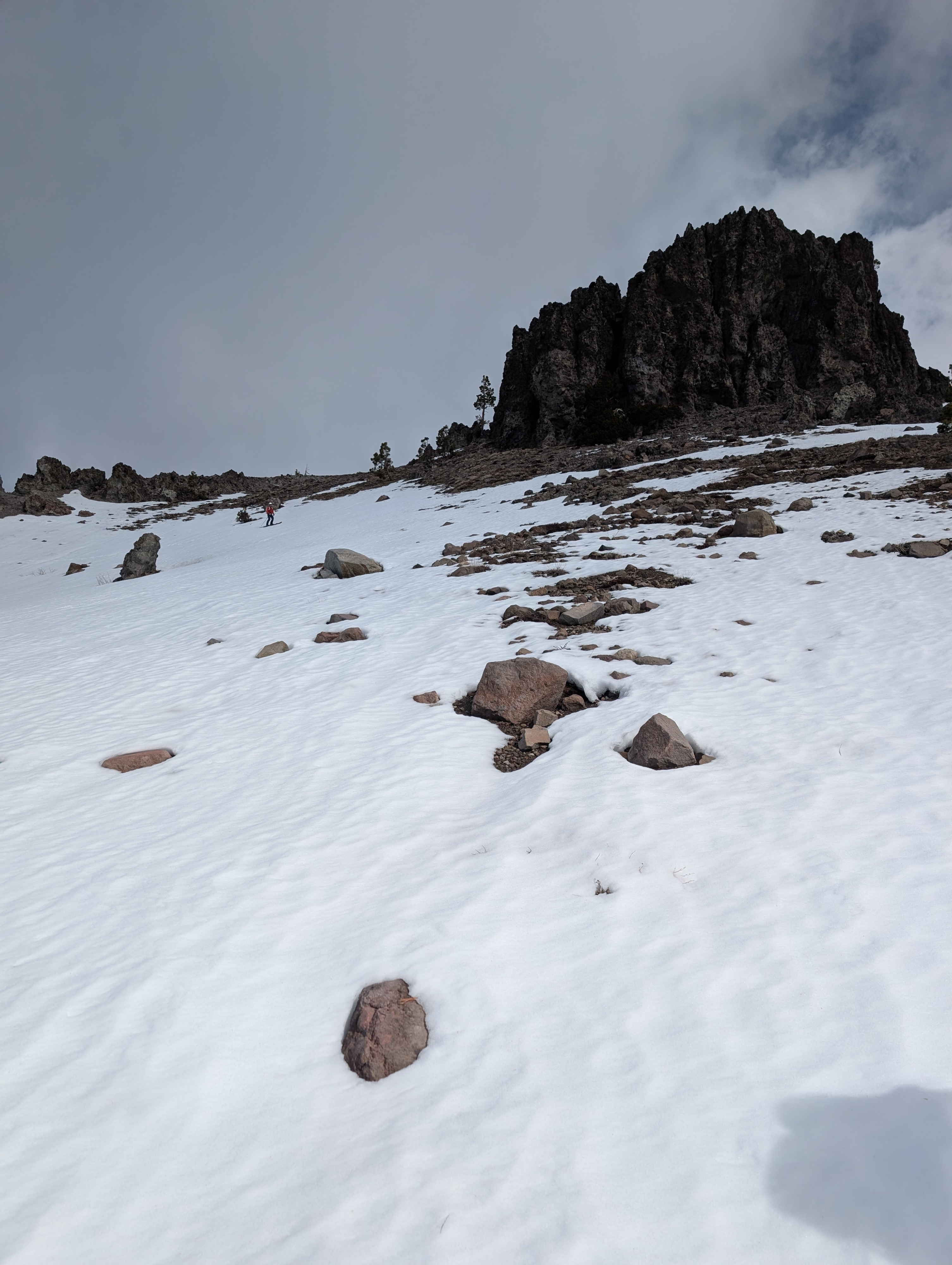
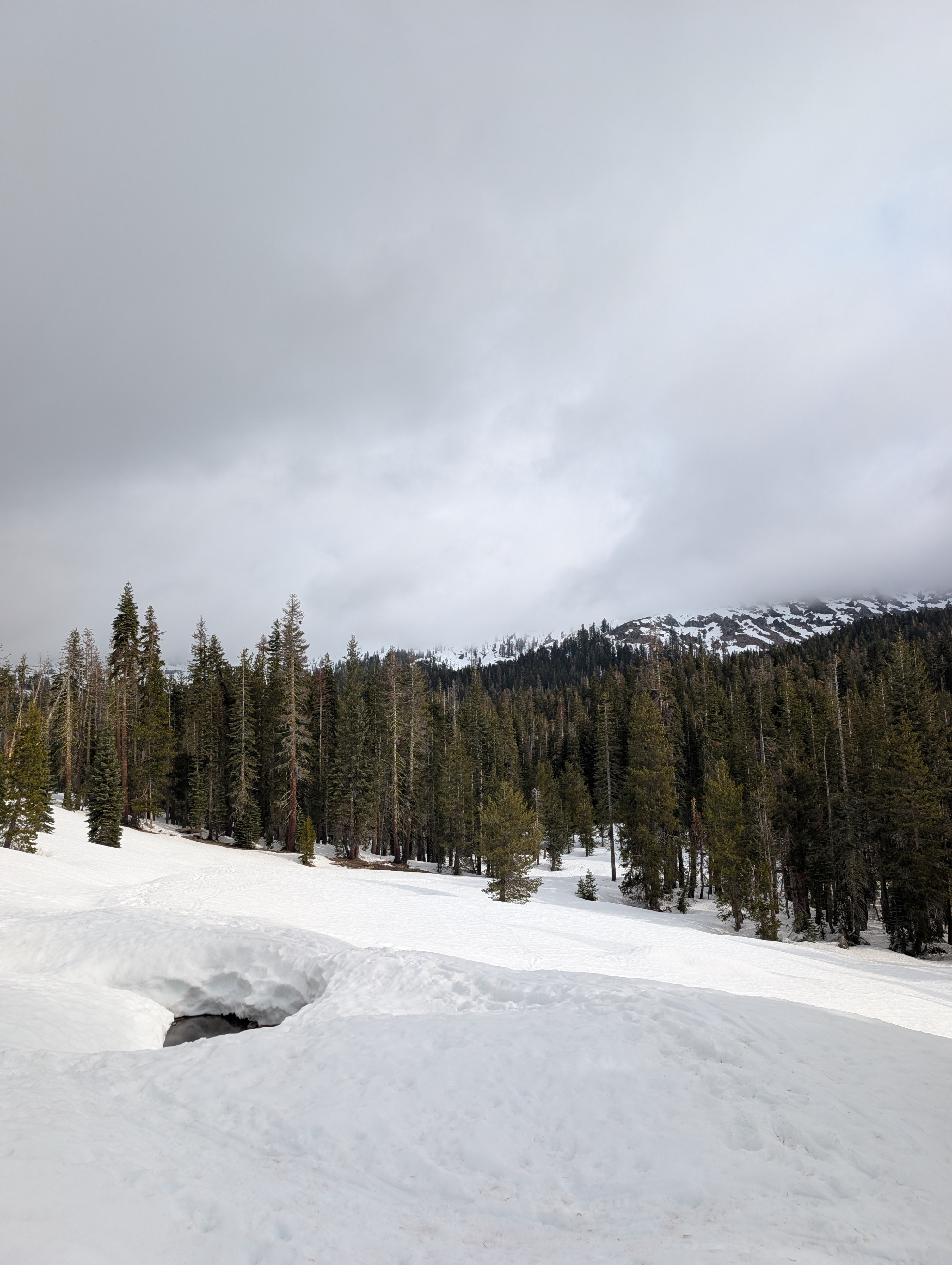
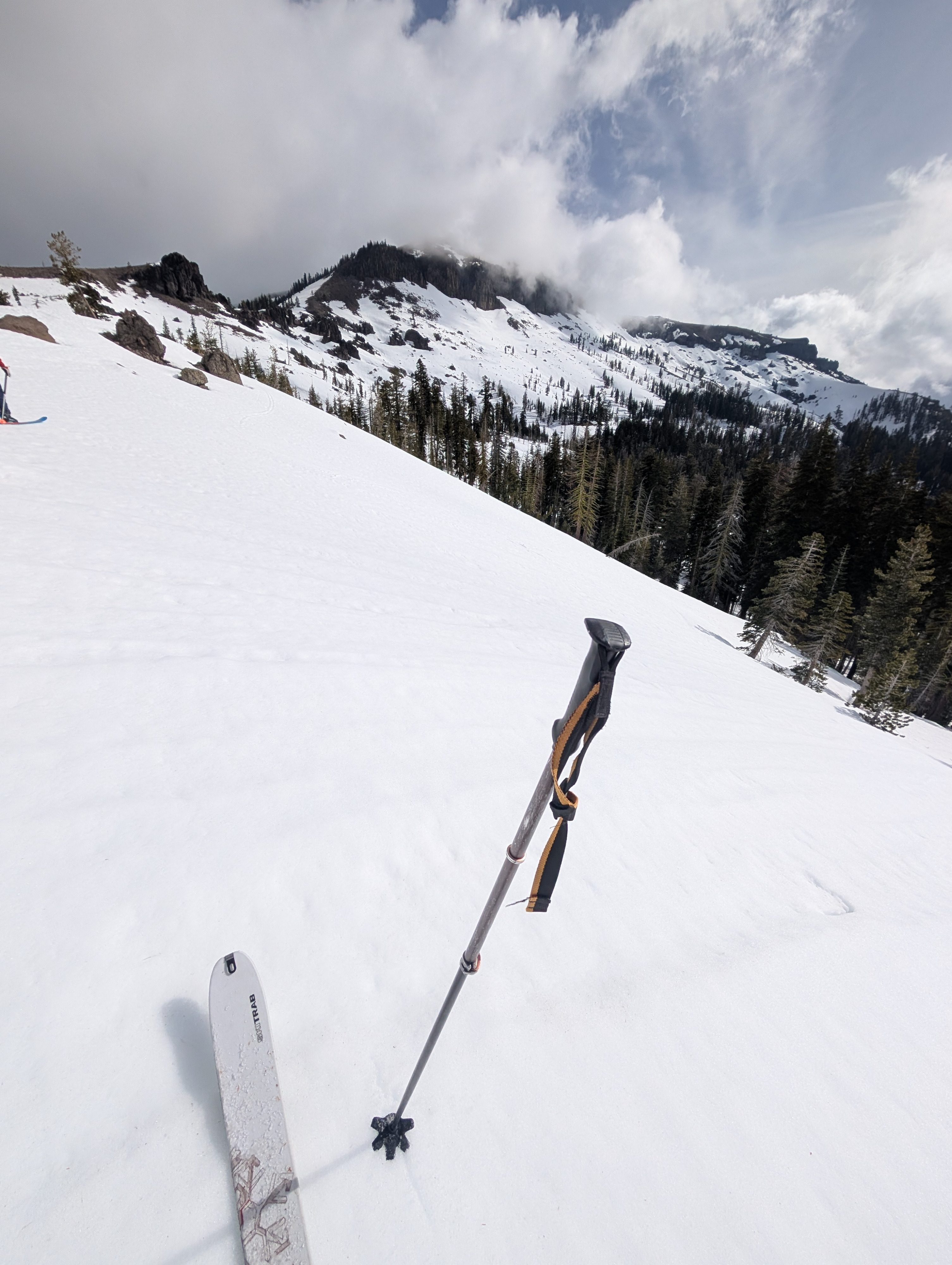
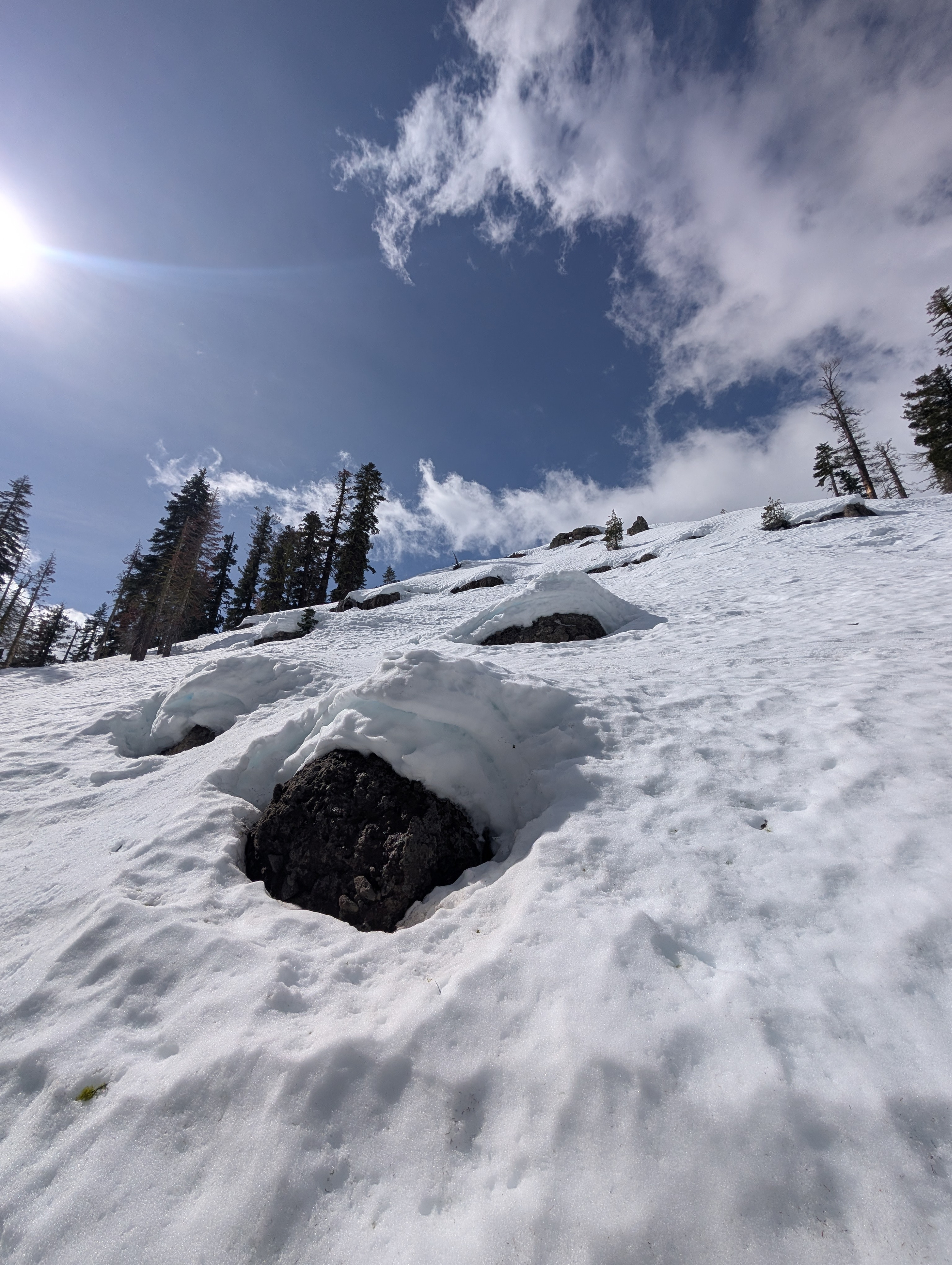
Cloud cover over the Castle Peak area kept most snow surfaces firm through at least mid-day. Still, up to an inch of wet snow did form on some slopes when the sun poked through holes in the clouds for short periods. The cloud cover remained relatively low and, at times, blocked our view of Castle Peak. Like other areas, the snow surfaces on southerly aspects are smoother than other aspects (NW-N-NE-E) where rain runnels and bumpy surfaces still exist. The snow stayed supportable (or firm) while we were out, and we did not see any signs of unstable wet snow. We did see newly exposed rocks, open creeks, and other signs of increased melting.
Weather
- Air Temp
- 40 °F
- Cloud Cover
- broken
Cloud cover was more widespread than expected. There were occasional brief periods of sun as clouds passed through the area. The wind and clouds kept the weather cooler than on previous days.
Snowpack
We dug a quick snowpit on a NE aspect at 7900 ft and found a 12-inch-thick melt-freeze crust on top of leftover wet snow. Snowpit tests did not produce unstable results (ECTX).