
Quick report
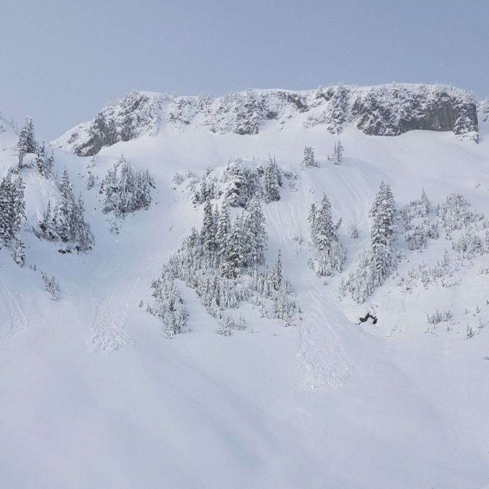
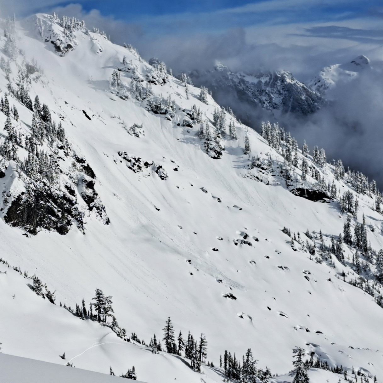
The weekend storm brought in about 1.5' of much needed new snow to the Baker backcountry above 4000'. During the storm event warmer temperatures and rapid loading initiated storm slabs and wet loose avalanches on steep slopes and below cliff faces, the extent of which was more easily observed once the sun came out early this afternoon. The sun also helped to warm up southern facing/exposed slopes were the inititation of roller balls eventually lead to wet loose avalanche activity by mid-afternoon.
The cohesive slab of snow that fell this weekend contains has a hardness inversions and small crust layers. The slab is now sitting on top of a layer of buried surface hoar and round facets on north facing slopes that stuck out in our stability test and hand pits. The healing of this layer will be important to track throughout the comming week.
Weather
- Cloud Cover
- scattered
- Wind Loading
- none
- Recent Snowfall
- ~50 cm
- Snow Avail For Transport
- small smounts
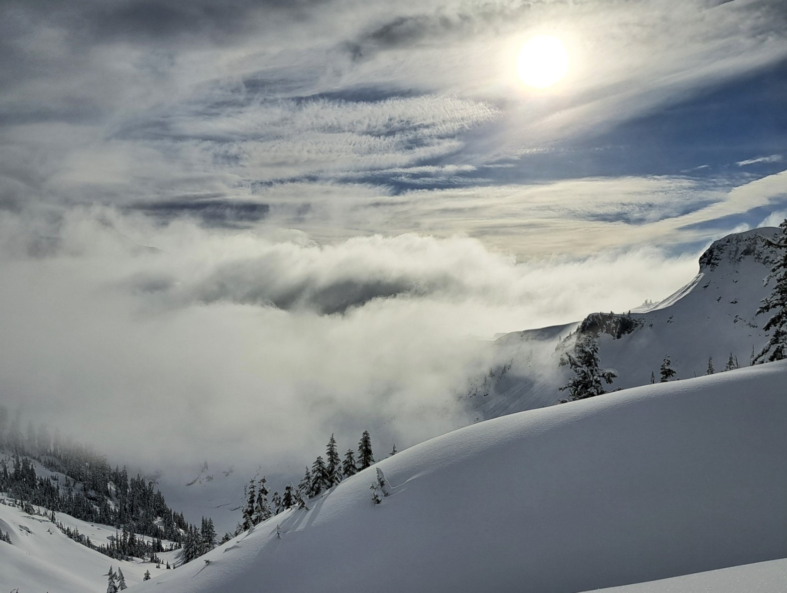
Light snow falling at the start of the day pietered out around 9: 30 am, clouds cleared and the sun was out intermittently by late morning. The calm air and high transparent clouds allowed trapped incoming solar radiation to warm up the snow, especially on south facing slopes.
Snowpack
Up to 50 cm of new snow has falled over the weekend loading lighter snow that fell last week. In the storm snow we observed a hardness inversion, with a 1 F hard slab sitting on top of a less hard 4 F slab before trending to 1 F above the crust. The new snow fell on a interface of buried surface hoar and rounding facets where a crack was initiated in a stability test. The failure occured below a crust that makes up the interface between the new and old snow and is indicating potentially poor structure and is likely something to track
Avalanche
Wet loose avalanche activity was observed on southern facing/sun exposed slopes. Large rollerballs gradually built to wet loose avalanches, D1-1.5 in size.