
Quick report
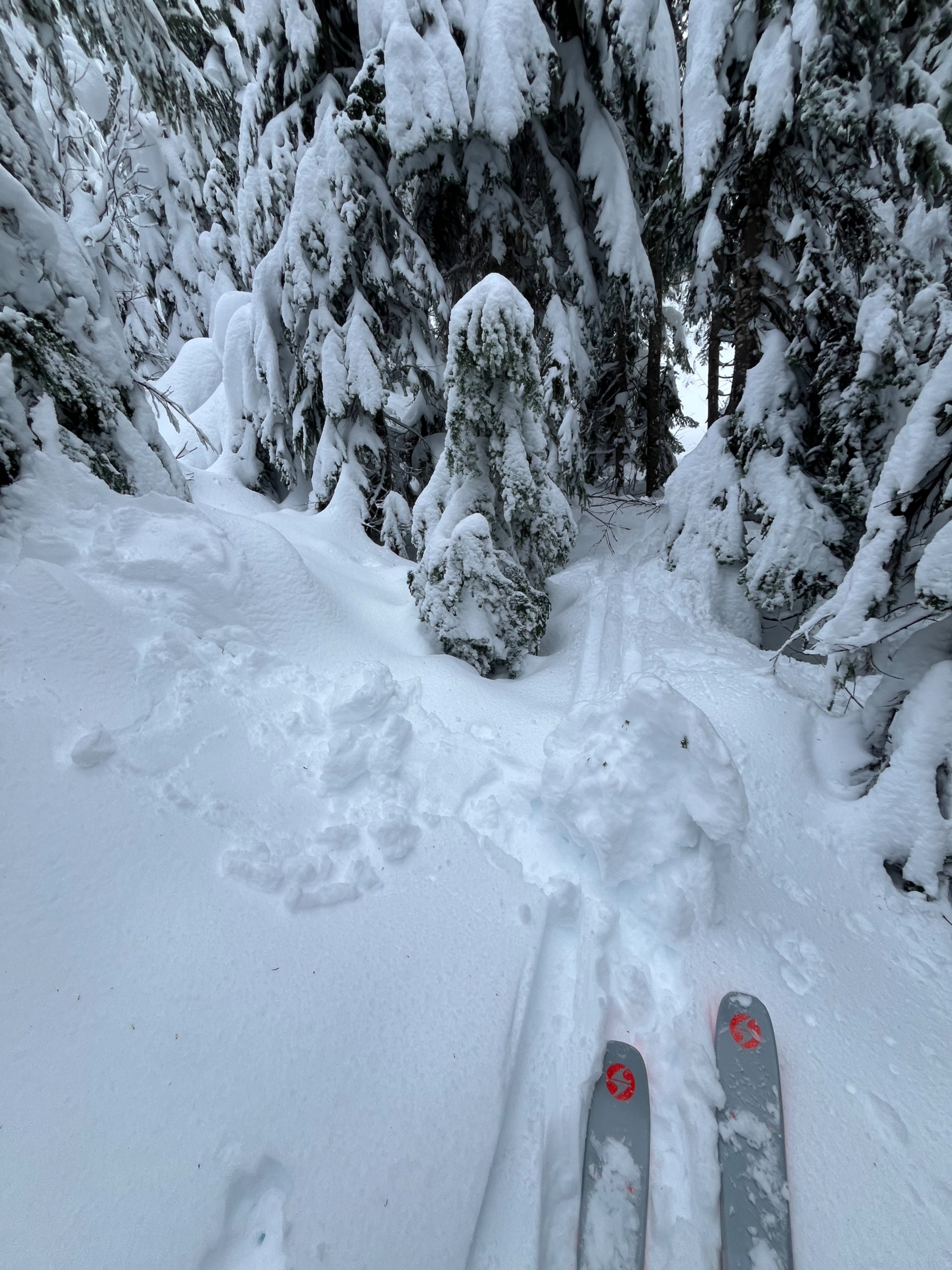
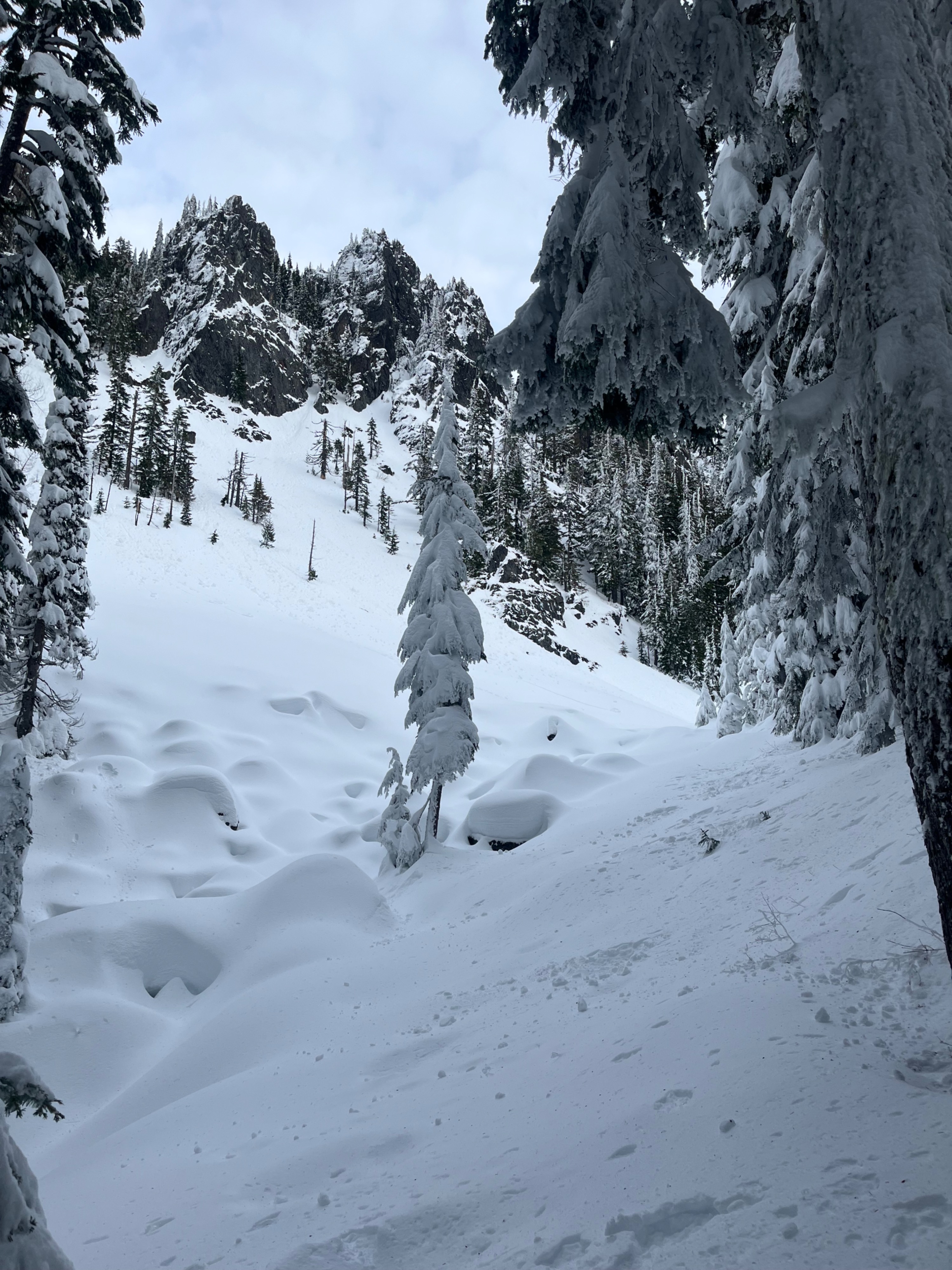
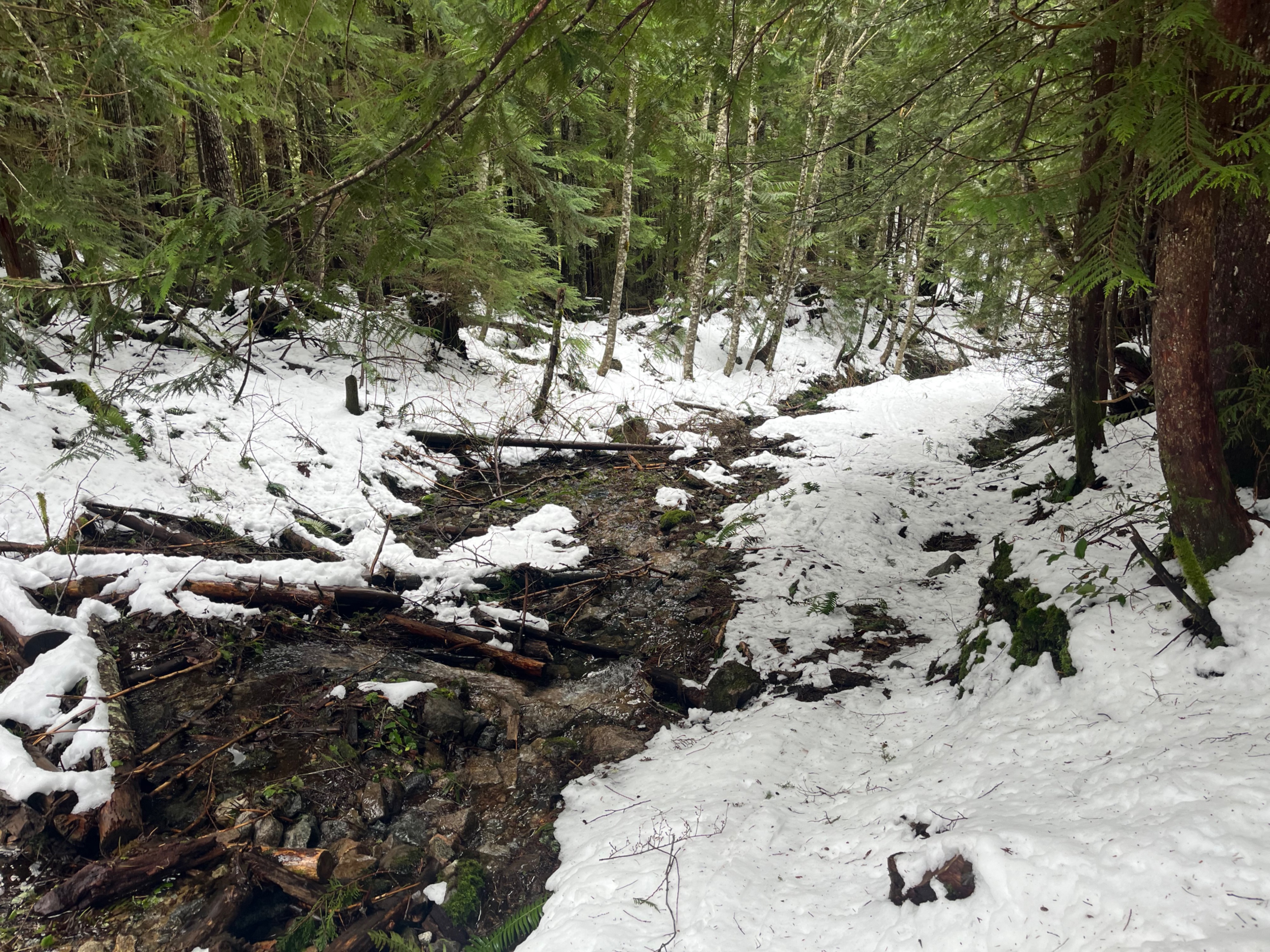
I wanted to investigate conditions in the West Central zone before the incoming storm that will change everything. This was a typical West Central adventure- starting out on foot, navigating my way through an abundance of open creeks with plenty of down trees before finally reaching sufficient snow cover and nice travel conditions. It was glorious nonetheless!
South-facing and lower elevation terrain had already been impacted by the sun the previous day, and was now either moist or crusty. I wasn't concerned about avalanches on south-facing slopes through mid elevations due to the crust. Sheltered and shady mid-elevation slopes still had nice, low-density dry snow.
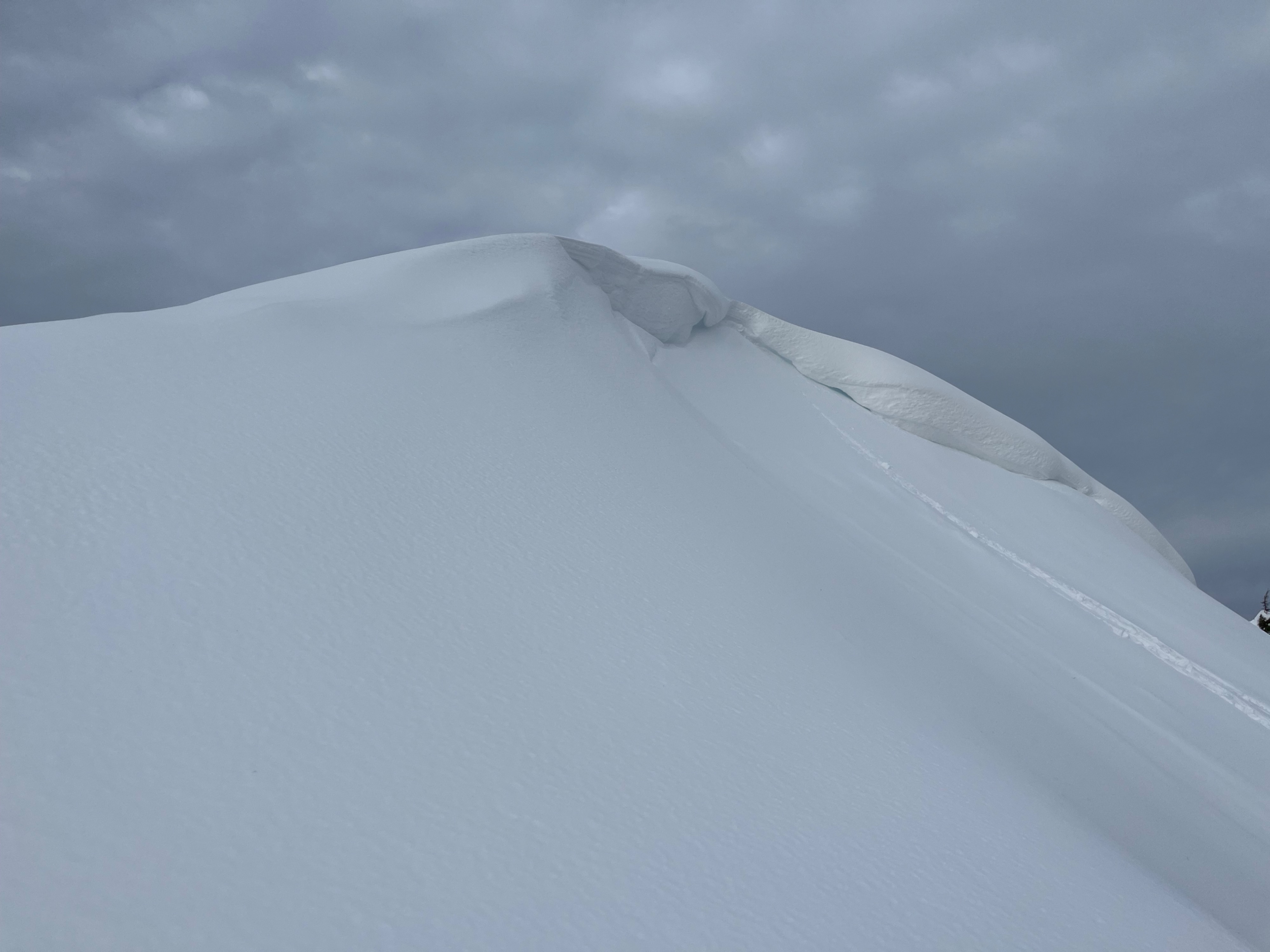
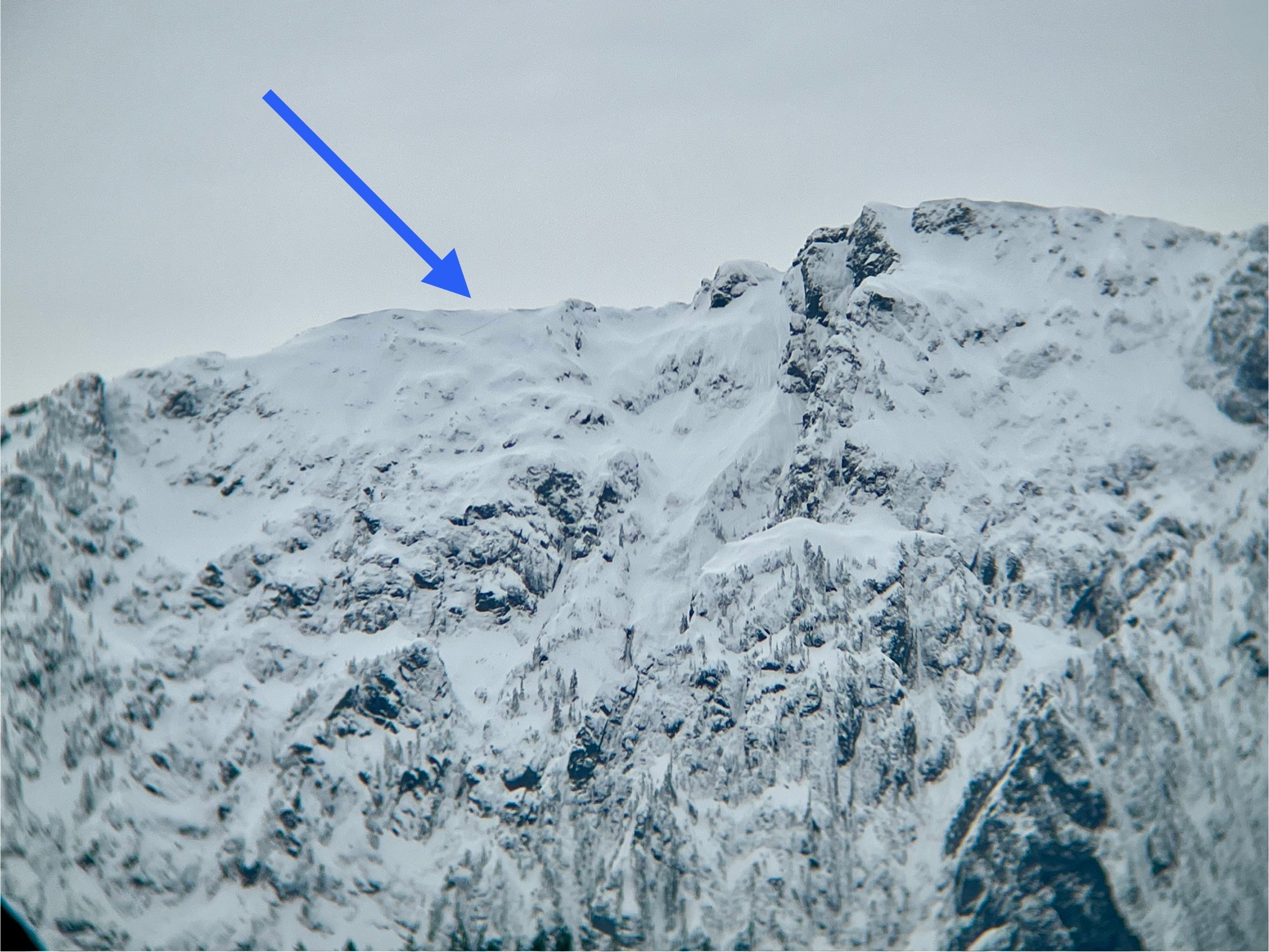
Wind transport built slabs along ridgelines at mid elevations near my max elevation, and I made sure to avoid those areas. I saw small amounts of flagging along distant mid and upper elevation ridgelines. I viewed many mountains, and only saw one crown line, on a north-facing slope at about 6000ft in the Hwy 2 corridor.
Weather
- Cloud Cover
- overcast
- Wind Loading
- moderate
- Snow Avail For Transport
- small smounts
Increasing sky cover throughout the morning. Dark clouds were sifting around in the distance. Highly variable snow surfaces- southerly aspects were moist or crusty all the way through mid elevations, so no availability for transport in those areas. Crusty surfaces on south-facing aspects at mid elevations became moist by midday.
Snowpack
Consistent snow cover began at about 2000ft, and was over a meter (3+ feet deep) at 4500ft. By 5000ft, snow was about 6 feet deep.
Snow surfaces at lower elevation on south-facing and flat slopes were moist or crusty. Near the top of the lower elevation band, steep north-facing slopes still had dry, cold snow. By midday, all lower elevation surfaces had moistened, and snow everwhere was sticky-horrible for skiing downhill. Small rollerballs had mainly occurred the previous day, although there were a couple new ones and tree bombs as I was heading out.
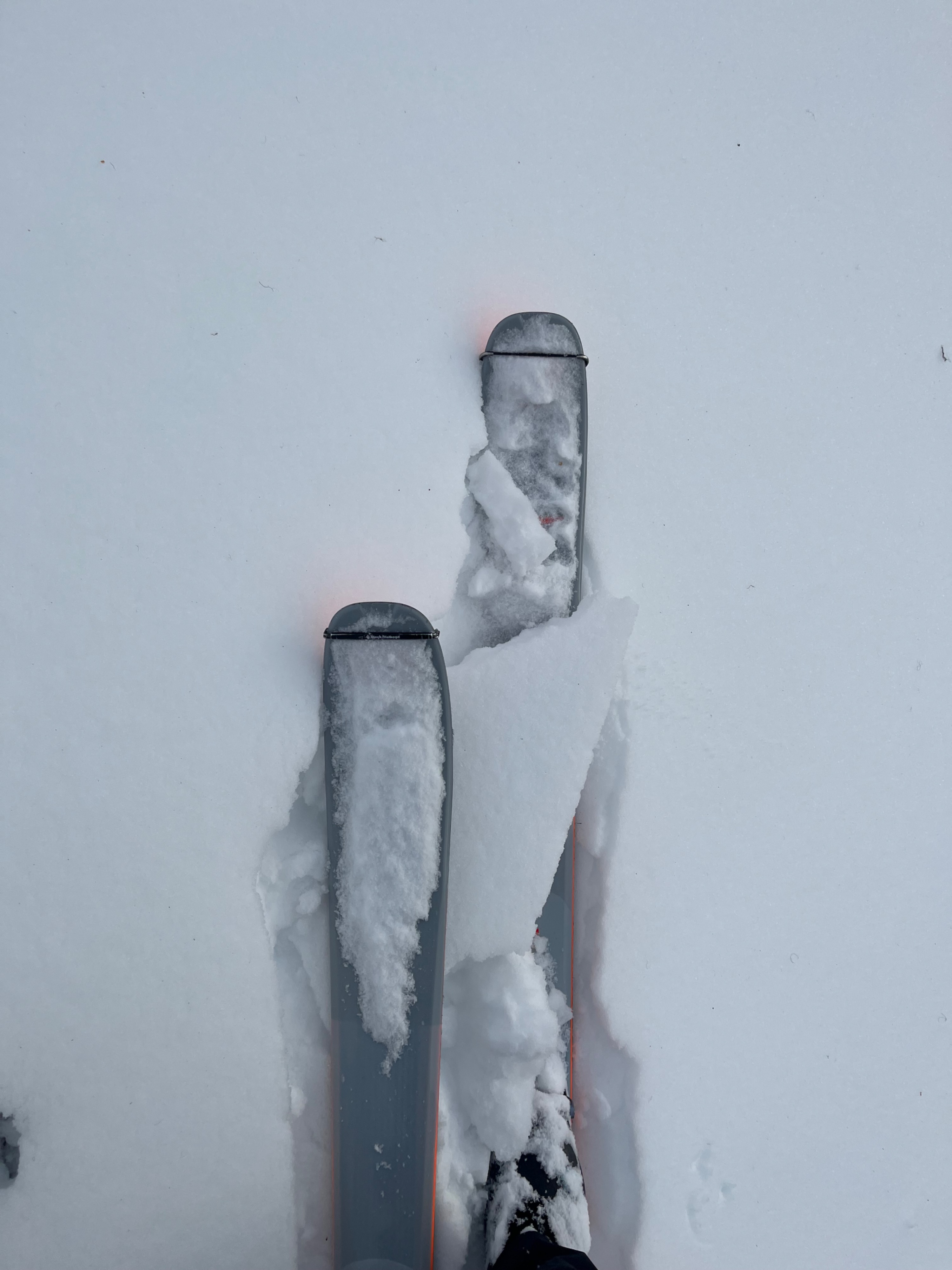
In the mid-elevation band, I found a semi-breakable crust on south-facing slopes, and at my max elevation, just over 5000ft, there was no sign of softening when I departed at noon. Consistent moderate wind gusts and less sunlight likely kept softening here on hold for a little longer. Meanwhile, north-facing aspects remained dry- heavy and highly wind-drifted along ridgelines and low density in sheltered areas.
I dug two pits in the mid-elevation band. I found a generally right- side up snowpack, aside from a slightly harder surface layer. There was a thick layer of progressively harder snow before an an obvious change to moist large-grained melt forms in the lower part of the snowpack. Tests yielded no ECT results, and hard, resistant compression tests on hardness/grain changes around a foot down.
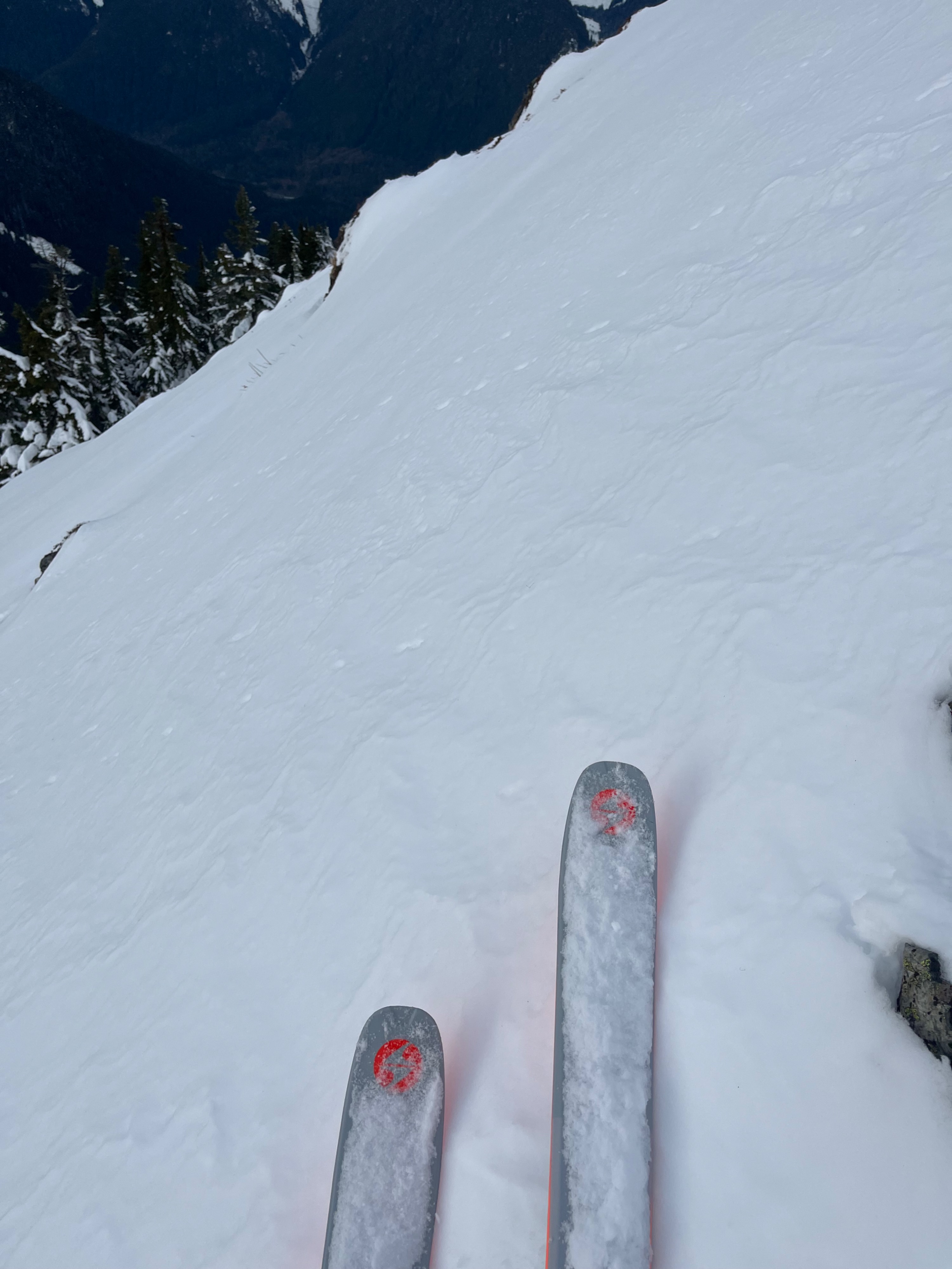
Near my high point above 5000ft, I wasn't concerned about avalanches on south-facing slopes due to the crust. As soon as I shifted around the corner, there was enough snow available for wind transport (I'm not sure where it was from!) to build a large, pillowlike slab. I made sure to avoid it, considering the area was a steep, convex roll.