
Quick report
- Collapsing
- isolated
Phew, it has been a hot few days! Wednesday was the 4th day of the meltdown, and was the warmest yet. To review: there was a round of widespread wet loose avalanche activity on 3/24, this was the day when the majority of the wet loose avalanches visible in the mountains happened. Slides were running either at the dust-crust (deposited 3/16) or on the 3/12 crusts. Wet loose activity continued on 3/25 and 3/26, though much of the easy pickings and steep, obvious paths had already shed at that point. By this point the loose activity was all sliding on top of the 3/12 surface. Wet slab activity appeared to start on 3/25 and continued on 3/26 (??), though timing of the few wet slabs that have been observed is uncertain. Most/all of the wet snow avalanches observed have involved only the snow that fell after 3/12. This snow is sitting on a widespread set of very stout crusts that formed during our early March corn cycle. I think if we had a few more days of heat and direct solar radiation we would be seeing some ugly, gouging wet loose avalanches and deeper wet slabs involving most of the snowpack, but with cooler temps and cloud cover in the forecast it looks like we will be dodging this bullet and leaving our snowpack mostly intact and smooth (hallelujah!). I departed the truck for a wet snow patrol around 4PM and returned at sunset. The 3/12 crusts were still ski and boot supportable at this time, though I was able to push the handle end of my pole through them and all the way to the ground without too much effort. As I climbed the crusts became a bit stouter, but I was able to push my pole to the ground on most solar slopes even extending to upper elevations. Snow depth on these slopes was in the 110-140cm range. I dug on a SW aspect at 8,800' and found a snowpack holding varying amounts of liquid water all of the way to the ground. The wettest snow was in the upper 20-30cm (above the 3/12 crusts), where larger intervals were completely flooded with water - it was easy to squeeze liquid water out of this snow. I had multiple ECTs fail and propagate at/just above the ground in this location (ECTP21 and ECTPV). I'm paying more attention to where the water is in the snowpack than stability test results, but I do love banging on a column of wet snow. The upper snowpack (above 3/12 crusts) has done a good job of establishing drainage channels and connecting to older drainage pathways that formed in early March during the meltdown that formed the 3/12 crusts. Plenty of meltwater is pooling at the surface during the heat of the day, but this water is quickly draining deeper into the snowpack. This is a double-edged sword... it is limiting wet snow issues at the surface but is significantly increasing the amount of water deeper in the snowpack. As slopes moved out of direct sunshine the surface was quickly refreezing. E and SE aspects had a 1-2cm thick crust by sunset, sitting on a warm pile of mush. Skiing had a velcro/suction cup feeling when in direct sun (SW and W aspects at day's end) but anything out of the sun was fast and low friction (water draining quickly). All in all I've been quite pleased with how the snowpack has dealt with another period of meltdown. We have pushed a ton of water down into the snowpack and out the bottom of the snowpack in shallower areas and at lower elevations (stream gauges are way up on both Big Wood and Salmon sides of the pass, and we lost 40-45cm of show height in Smiley Creek since this meltdown began). The major period of meltwater production at the surface has past, but this water is still dribbling its way through the snowpack. I'm not sure how we've been so lucky this season, but I'll take it! Looking forward: crusty surfaces on solar aspects are nice and rough which should help future snow bond well. Shaded aspects are highly variable, depending on aspect and elevation. On 3/25 I found a widespread coat of surface hoar that extended from valley bottoms all the way up to above 10,000'; I suspect this has mostly melted and wilted but could be problematic at the highest elevations on steep, northerly slopes and is worth looking at before it gets buried. There is also a chance for some weirdness where crusts have formed on top of dry snow (upper elevations on northern third of the compass-ish). Weather models are bouncing around a good bit, but it looks like we could see some significant snow totals over the next 10 days with a focus on the 3/31 through 4/3 period. The next few days leading into this weekend have us on a cooling trend with some light sputters of snow which should help improve ski quality and allow the migrating water in the snowpack a chance to drain/refreeze. It's feeling like spring in the air and in the snowpack and we are lined up for some excellent skiing conditions if the forecast holds...yes please! I experienced two small, wet collapses on solar aspects where the snowpack was thin and heavily wind affected. The largest of these involved an area the size of a few queen size mattresses.
Weather
- Air Temp
- HOT!
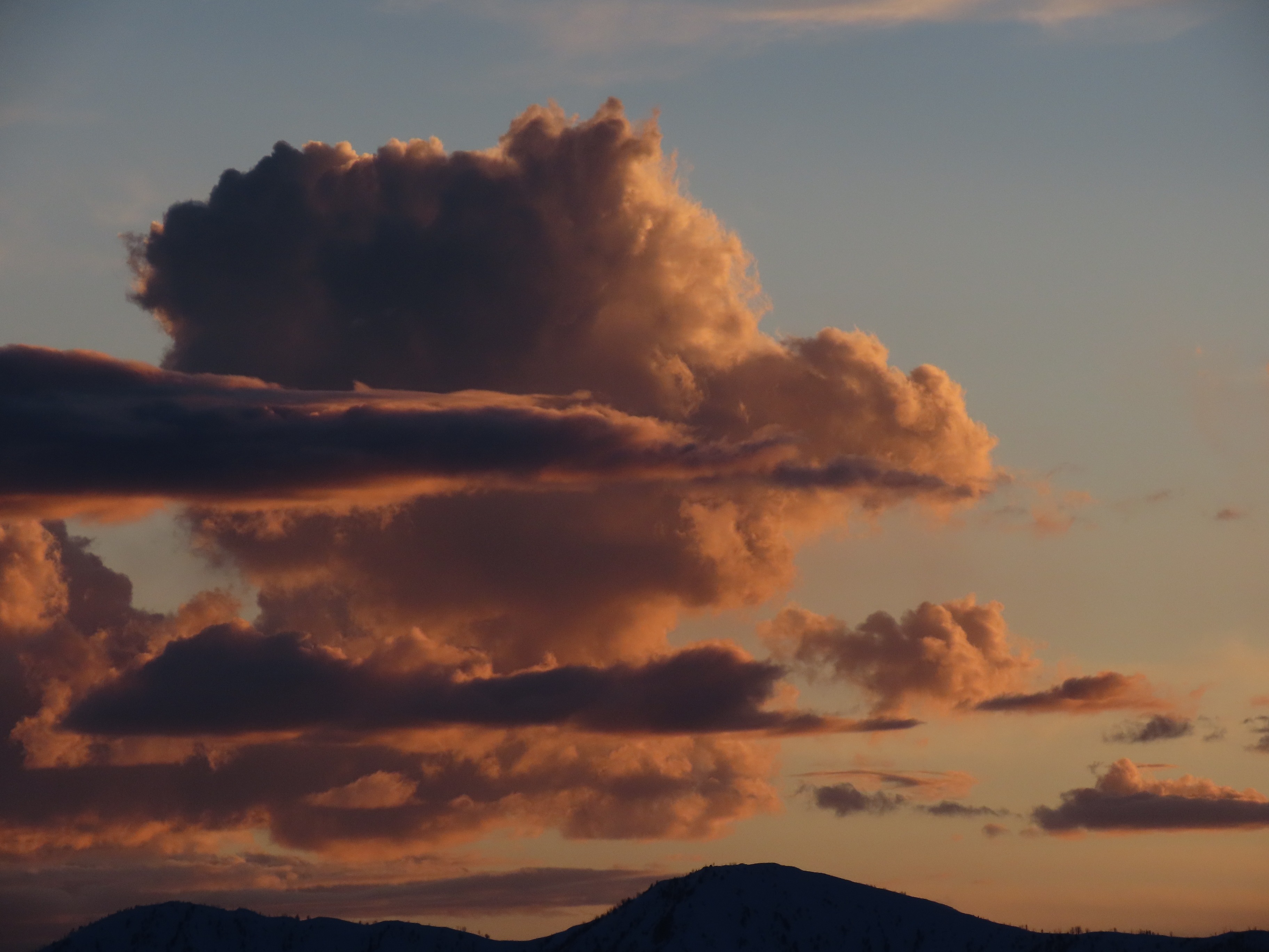
Clear throughout much of the day, clouds beginning to build over W Smokys and Sawtooth at sunset.
Avalanche
- Size
- D2
- Type
- WS
- Aspect
- E
- Trigger
- N
- Elevation
- 9400 ft
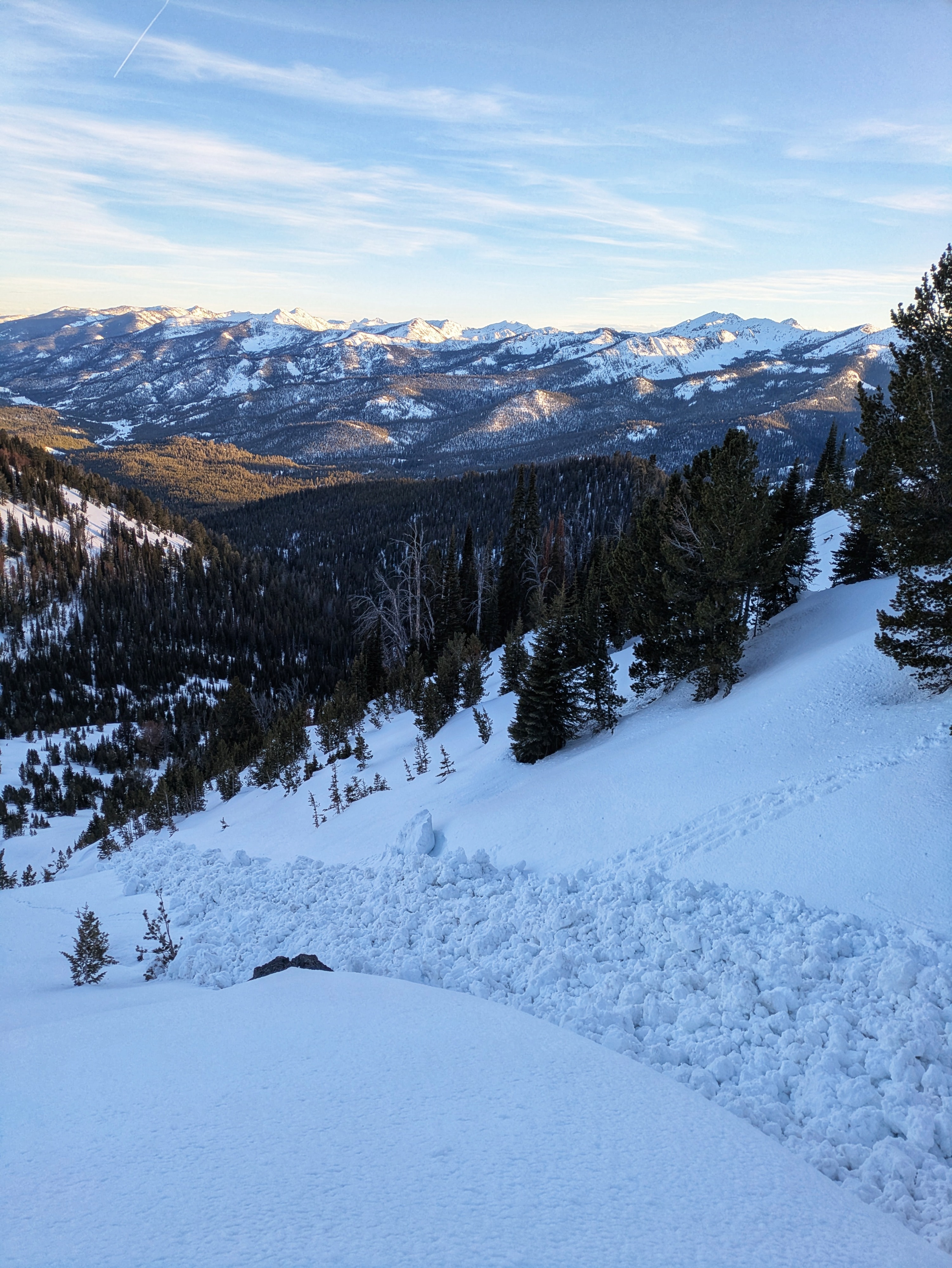
I was able to trigger two small D1 wet loose avalanches on steep solar slopes. These were quite small relative to the paths they occurred in (R1). They ran on top of the 3/12 crust and were not able to gouge through this crust. I looked at a lot of terrain and was able to find one wet slab that likely occurred either 3/25 or 3/26 on an E aspect 9400' on Norton Peak.