
Quick report
- Cracking
- isolated
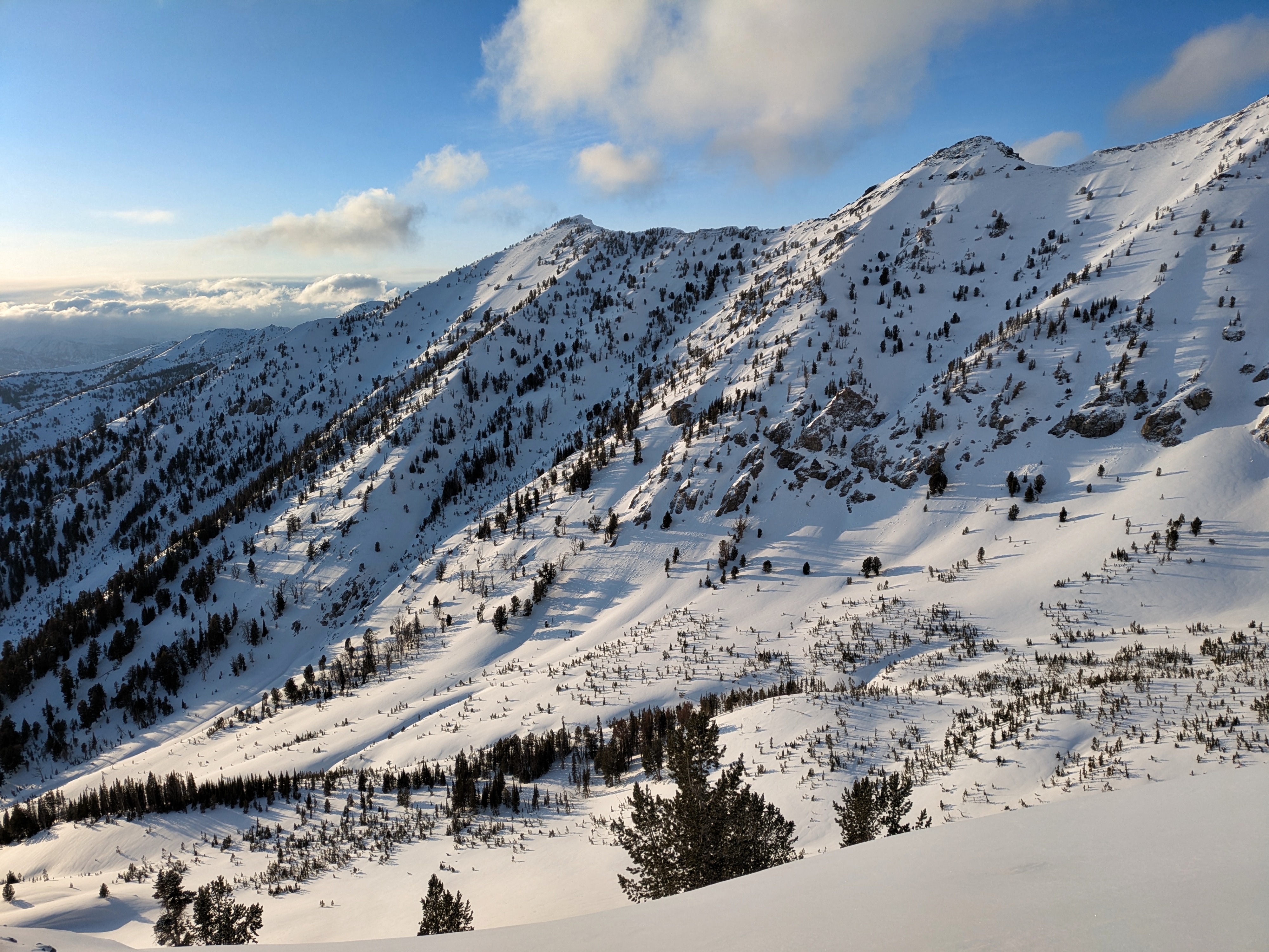
There was ~ 1-2cm of new snow at highway level and ~5cm in upper elevation terrain. Just enough new snow to cover up the dust for a day or two and to make for some smooth dust-on-crust skiing. I encountered a few small, very isolated wind drifts up to ~12 cm thick that produced minor cracking. I did not encounter any significant wind slabs and today's storm did not increase the avalanche danger where I traveled. Spotty spring storms and periods of sun over the past few days have made some interesting, variable crust+faceting new snow layers on solar margins that could be problematic with a quick, heavy snow load. On direct solars the new snow has been cooking onto the 3/28 surface as it gets deposited and these surfaces have become rougher over time and new snow is bonding well here.
Weather
- Recent Snowfall
- 3-5
Short, intense late afternoon flurry brought a few cms of snow. Light, gusty winds blowing out of the W in the evening. Clear slot accompanying frontal passage brought a good dose of sun starting around 6 PM and lasting until 8 PM.