
Quick report
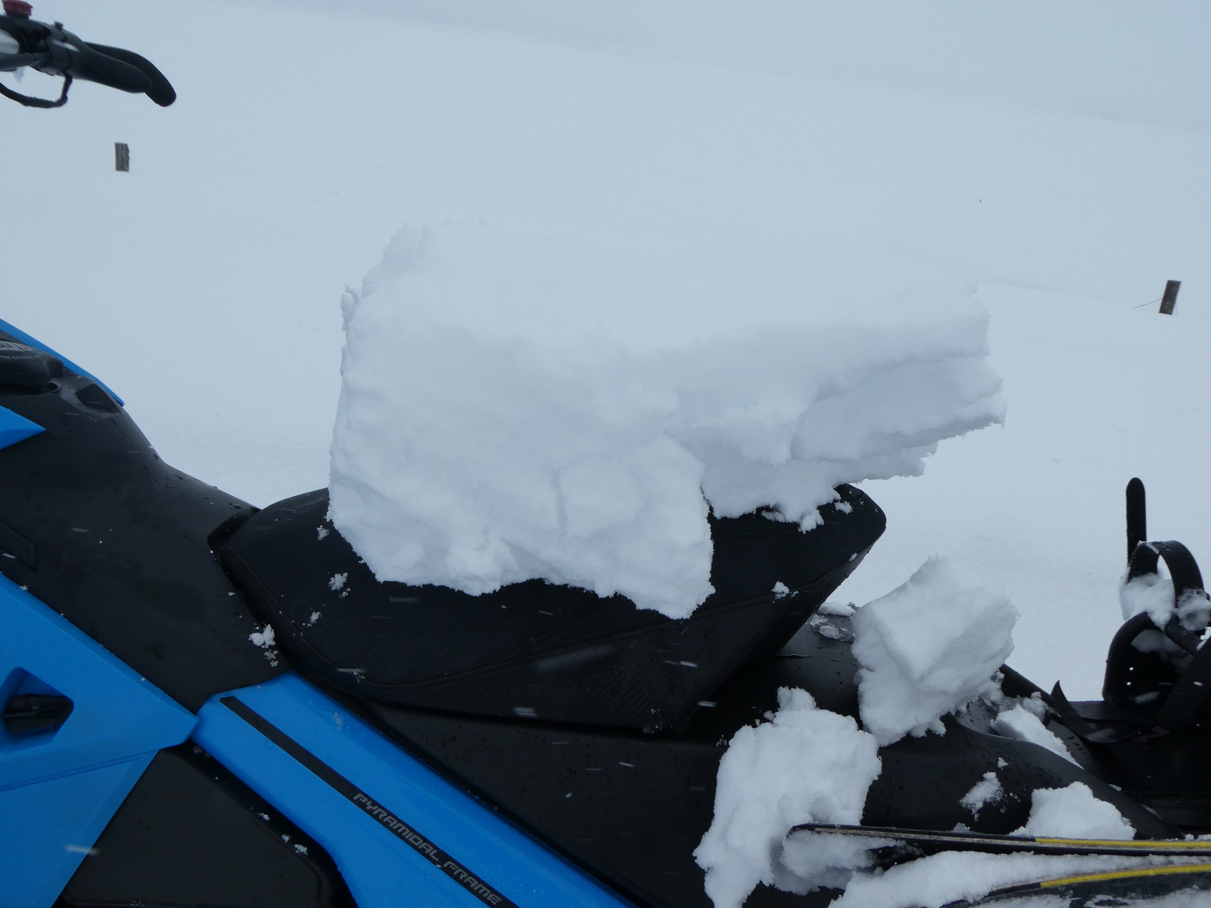
- Cracking
- specific
We found 1-2 feet of recent snow above 7,500' that has fallen over the past few days. Recently formed storm slabs became progressively more reactive throughout the day as the upper 5-6" became more cohesive and consolidated. We found a weak old snow surface below the recent snowfall in sheltered NW, N, and NE aspects, yielding unstable test results in snowpack stability tests.
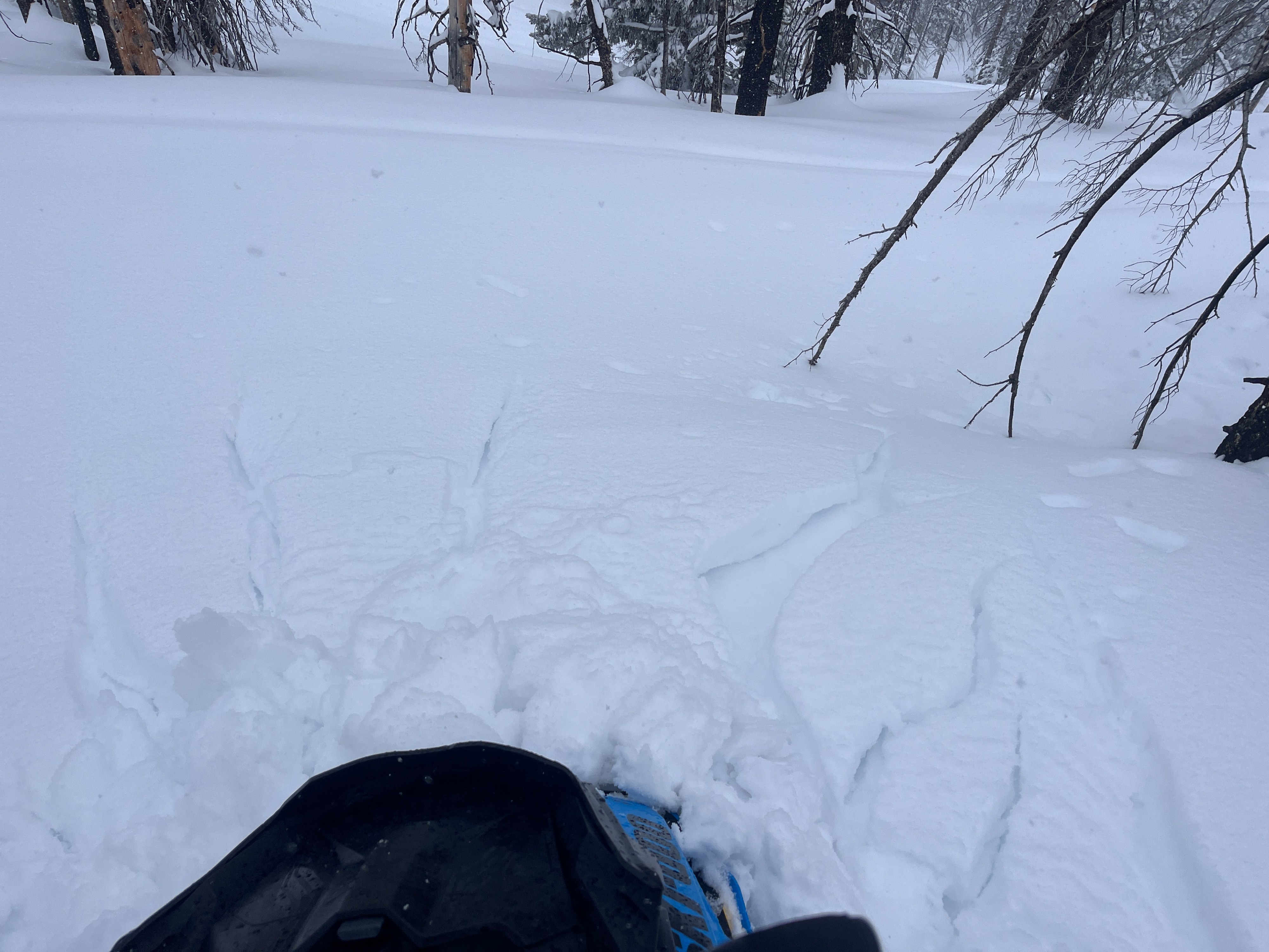
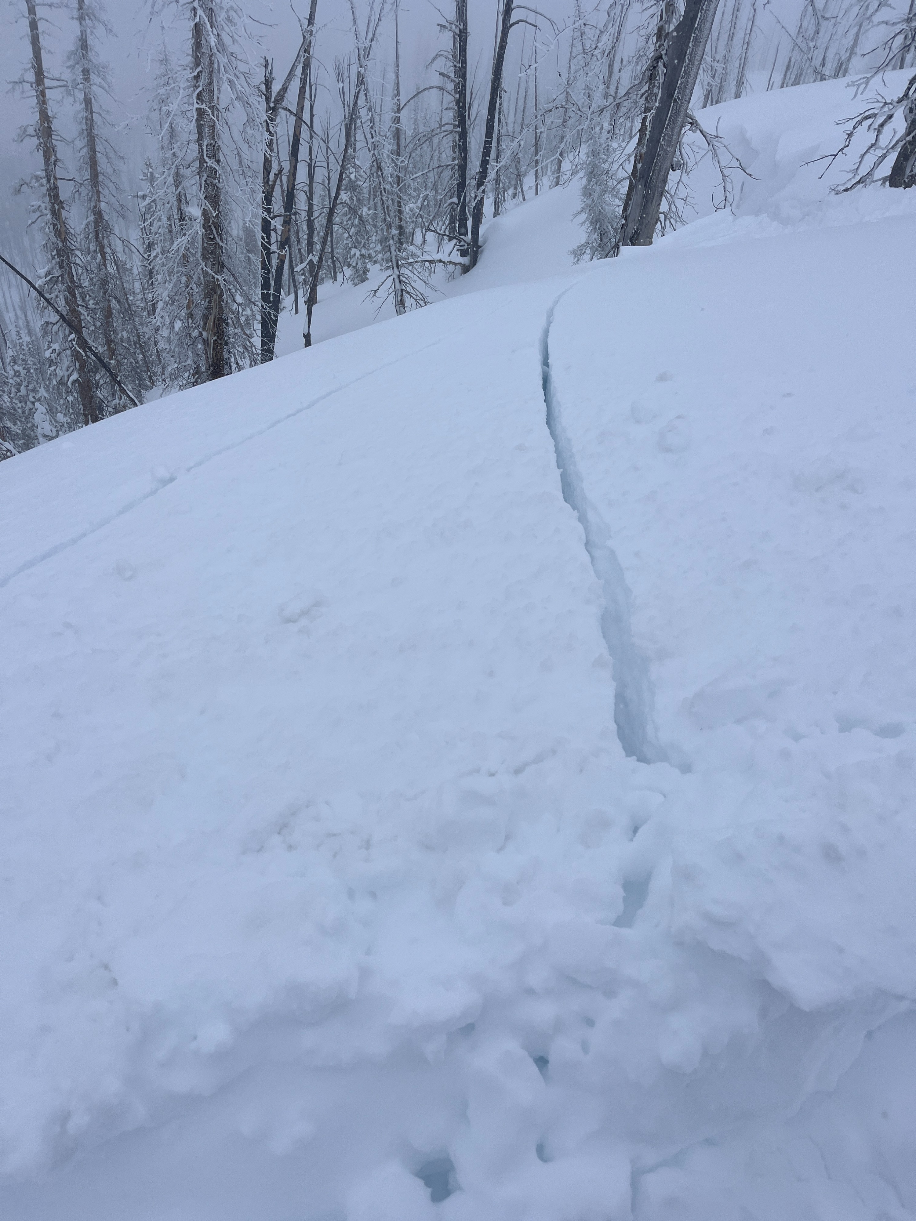
We observed cracking within the most recent snowfall in wind-sheltered terrain near or below 8000', where the upper 15 cm of the snow has consolidated above softer storm snow below. Cracking above 8000' was isolated to freshly formed wind drifts near ridgelinesWeather
- Cloud Cover
- overcast
- Wind Loading
- moderate
- Rain Elevation
- 6800
- Recent Snowfall
- 45-55
- Snow Avail For Transport
- large amounts
Skies were overcast with consistent S-1 to S1 snowshowers, with short periods of S2 after 2:30 PM. Winds blew from the W and SW at moderate speeds, increasing to strong around 2:30 for a few hours before settling back to moderate by 4:00 PM.
Snowpack
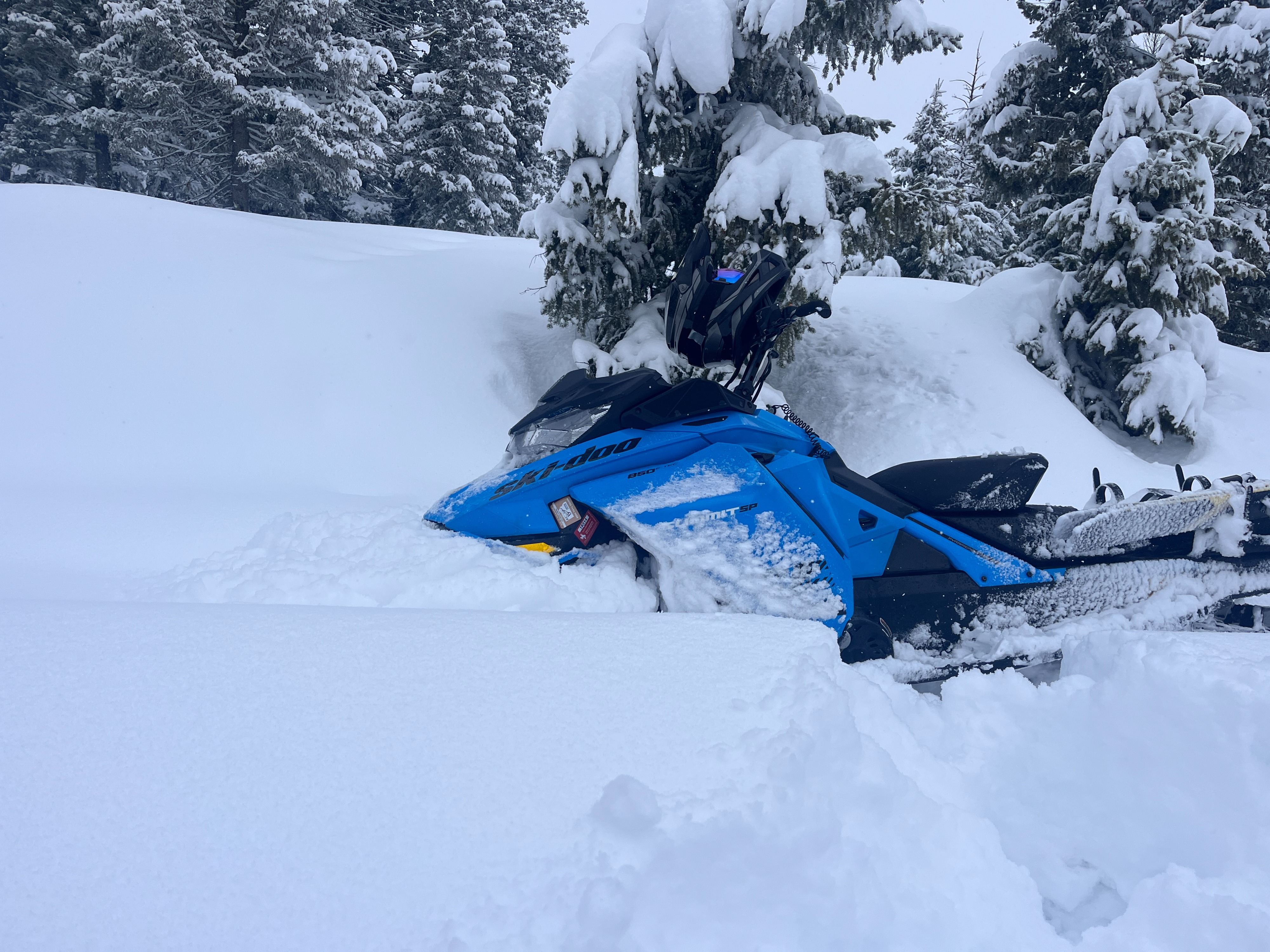
New snow: We found 45-55 cm of snow that has fallen over the last few days above ~7500', 5-15 cm at lower elevations. By the late afternoon, the upper 10-15 cm had settled into a more cohesive slab. At lower elevations (~7,000'), this accounted for the entirety of the recent snowfall—it may have rained at some point midday below 7,000'. At the same time, there weren’t any obvious signs of rain; the snow surface had become moist-wet, and rollerballs were observed in steep NW-facing terrain near 6,800'. Near 8,000', storm slabs were more reactive; where storm totals were greater, the newly consolidated upper 10-15 cm sits above softer, drier snow below. These slabs of cohesive snow were easily pulled away in hand pits and cracked in front of the sled while riding (see photo)—also creating very cool waves of rubbery snow while riding.
Wind-drifted snow: Near ridge tops, winds were moving snow; however, any cracking in these drifts was short (5’-10’), and recently formed cornices were small and difficult to knock off on test slopes.
Weak layers: In hand pits and formal pits on NE-N and NW aspects, we found a well-defined layer of near-surface facets under the recent storm snow—observed between 8,000' and 8,700' in wind-sheltered terrain. In hand pits, it was easy to pull away the slab above the facets. Stability tests yielded ECTP11’s on both an NE aspect at 8,400' and a NW aspect at 8,700'. We didn’t find this structure on any solar slopes (SE and SW), and recent snowfall has bonded well to the crusts below. On the margins, it’s a mixed bag; in some W- and E-facing terrain, new snow is bonding well to any crusts that formed, and on other slopes, the surface below presents as a crust-facet combo—uncertainty is high enough with these aspects to completely rule out finding a weak snow surface below the recent snowfall.