
Quick report
- Cracking
- isolated
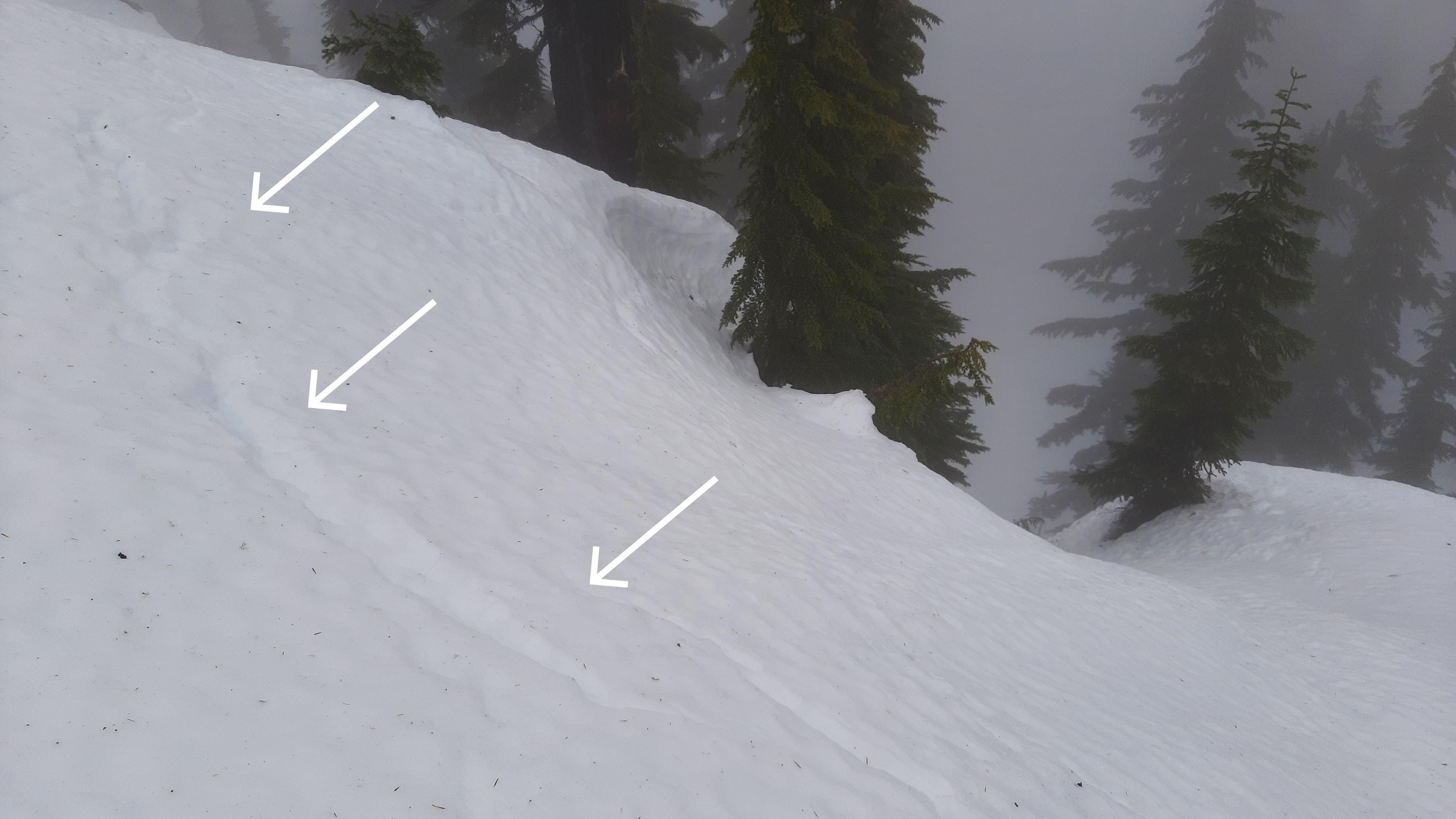
We found wet snow surfaces that were variably supportive. Many areas did not support standing in boots, and steeper slopes seemed less supportive of skis. At 5,300ft, we found small glide cracks on a convexity above rock features (see photo).
Weather
- Air Temp
- 32
- Cloud Cover
- obscured
- Wind Loading
- previous
- Rain Elevation
- ~6,000ft
- Recent Snowfall
- 0
- Snow Avail For Transport
- none
The weather was foggy, calm, and mild, with very light rain. Cloud levels were between 4,000-5,000ft. Evidence of significant recent rainfall.
Snowpack
Overall, the snowpack was surprisingly supportive to travel on skis for being moist to wet. We found some areas that were punchy and unsupportive. For being in the middle of a prolonged rain event and wet avalanche cycle, the snowpack has not necessarily taken on a lot of water. This is also reflected by the rain totals in the past week, which aren't huge compared to the number of days over which the area has received rain.
At our profile site, ENE, 5,320ft, we found HS 197cm and a mostly moist snowpack. There was wet snow near the surface and a drier layer in the middle of the snowpack. The midpack was notably dry, and grains were relatively un-transformed to melt forms, especially given that the layers above and below contained more meltwater. Water had made its way into the middle of the Solstice crust matrix, if not into early December melt forms @ 75cm. The Solstice crust weak layer was our primary concern, shown by multiple test results (DTM(SC), PST 43/117 END ↓117cm on 1.0mm MF/FCxr).
Avalanche
- Size
- D2
- Type
- WS
- Aspect
- NE
- Trigger
- N
- Elevation
- 3300 ft
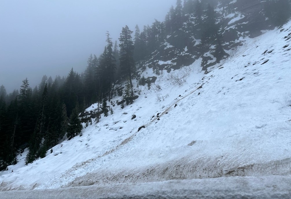
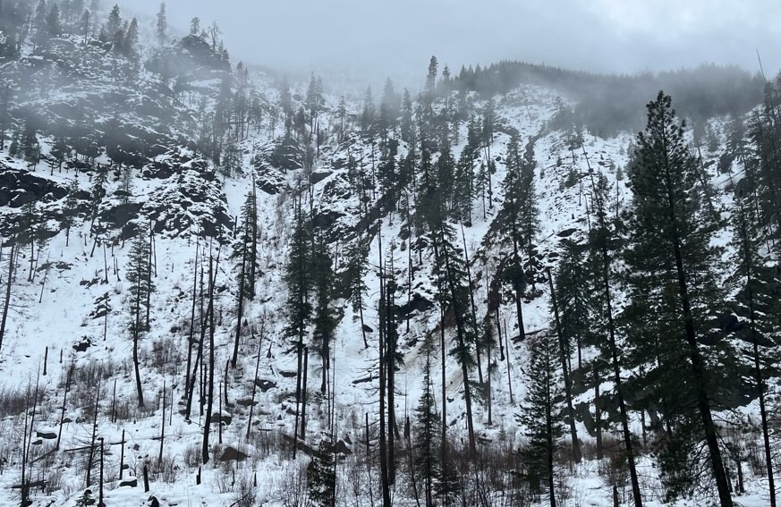
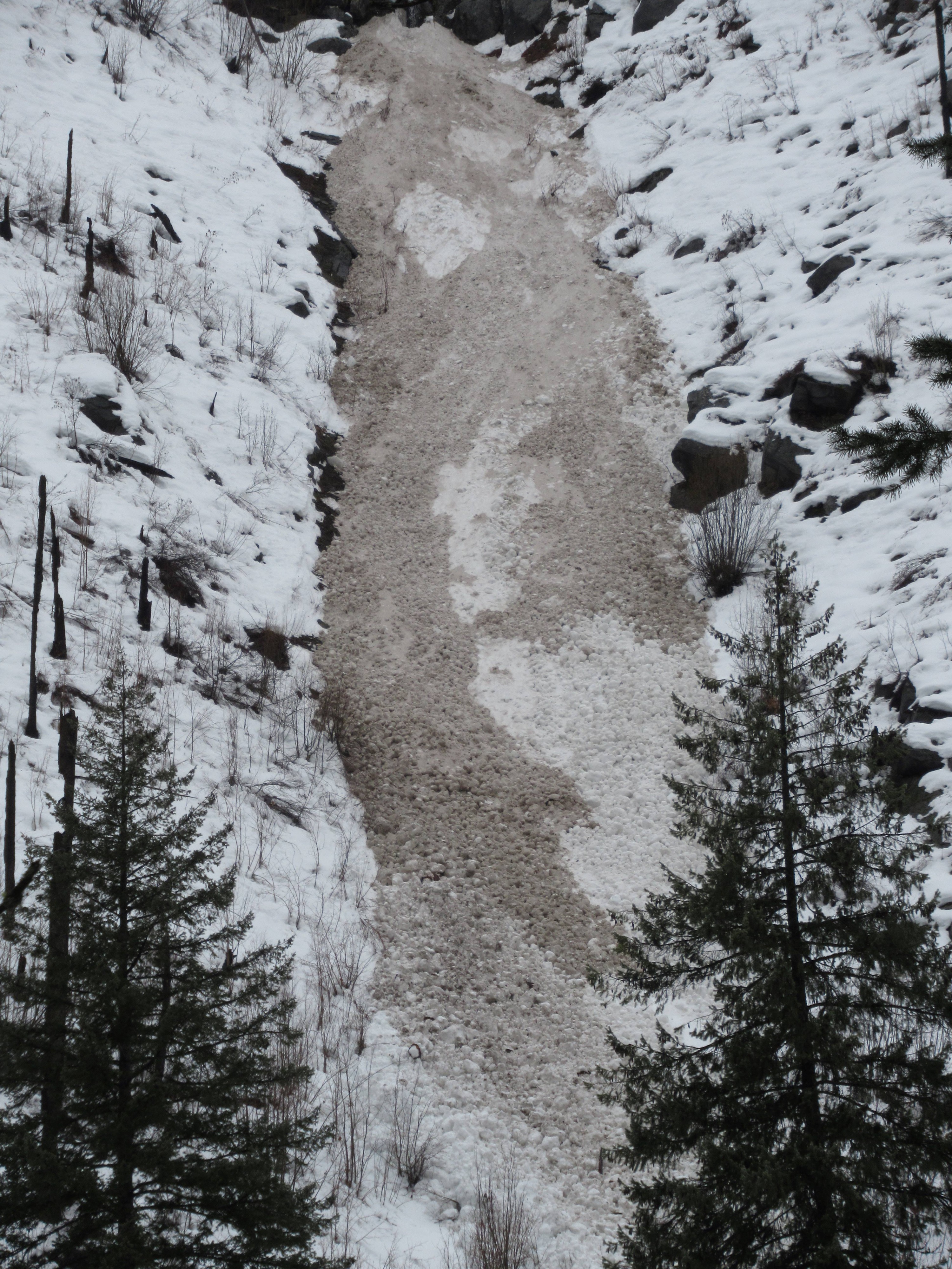
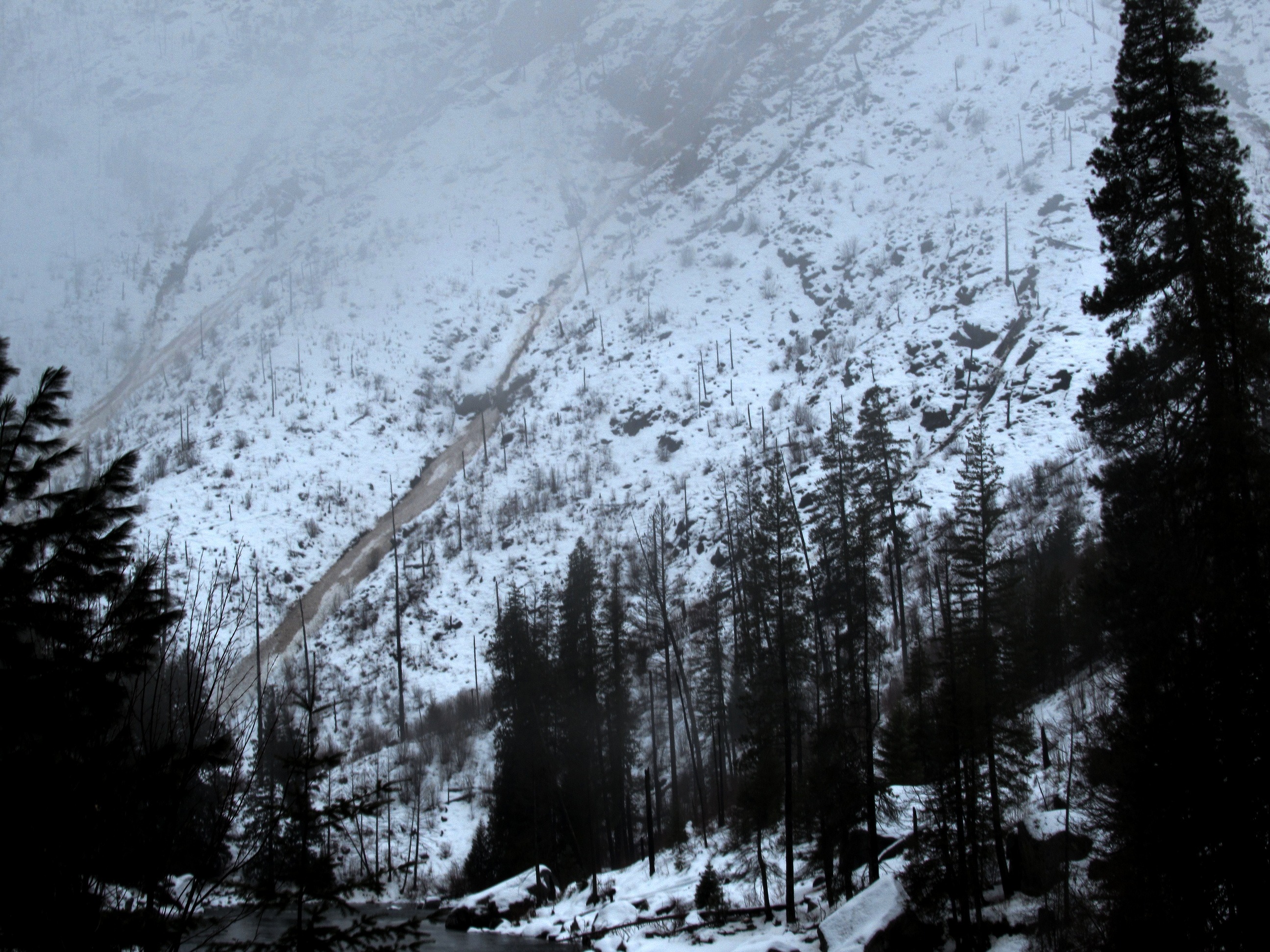
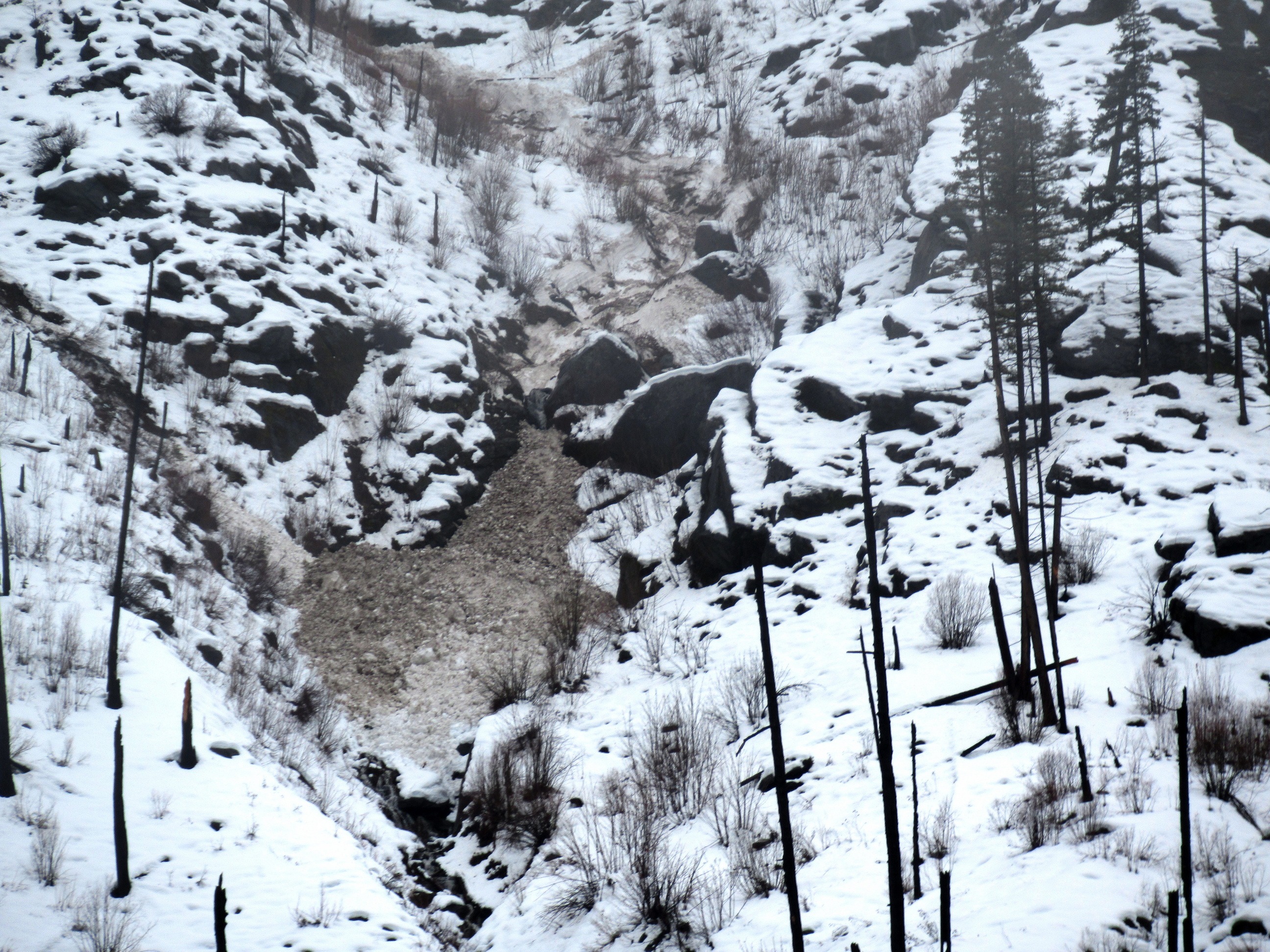
We were able to trigger shallow, loose wet surface snow on steep slopes. We observed numerous wet avalanches from the past 4 days, many are documented elsewhere: 1) More than one rock-shedding wet avalanches in the East Portal Highway 2 avalanche path up to D2. 2) Numerous avalanches in Tumwater Canyon between Hatchery Creek and Swift Water picnic area, up to size D2.5. 3) Debris on the SE face of Lichtenberg Mtn, below the large rock slab (couldn't see above the runout). 4) A skier triggered avalanche from 1/28 adjacent to the Double Diamond lift at Stevens Pass Mtn Resort