
Quick report
- Cracking
- isolated
- Collapsing
- specific
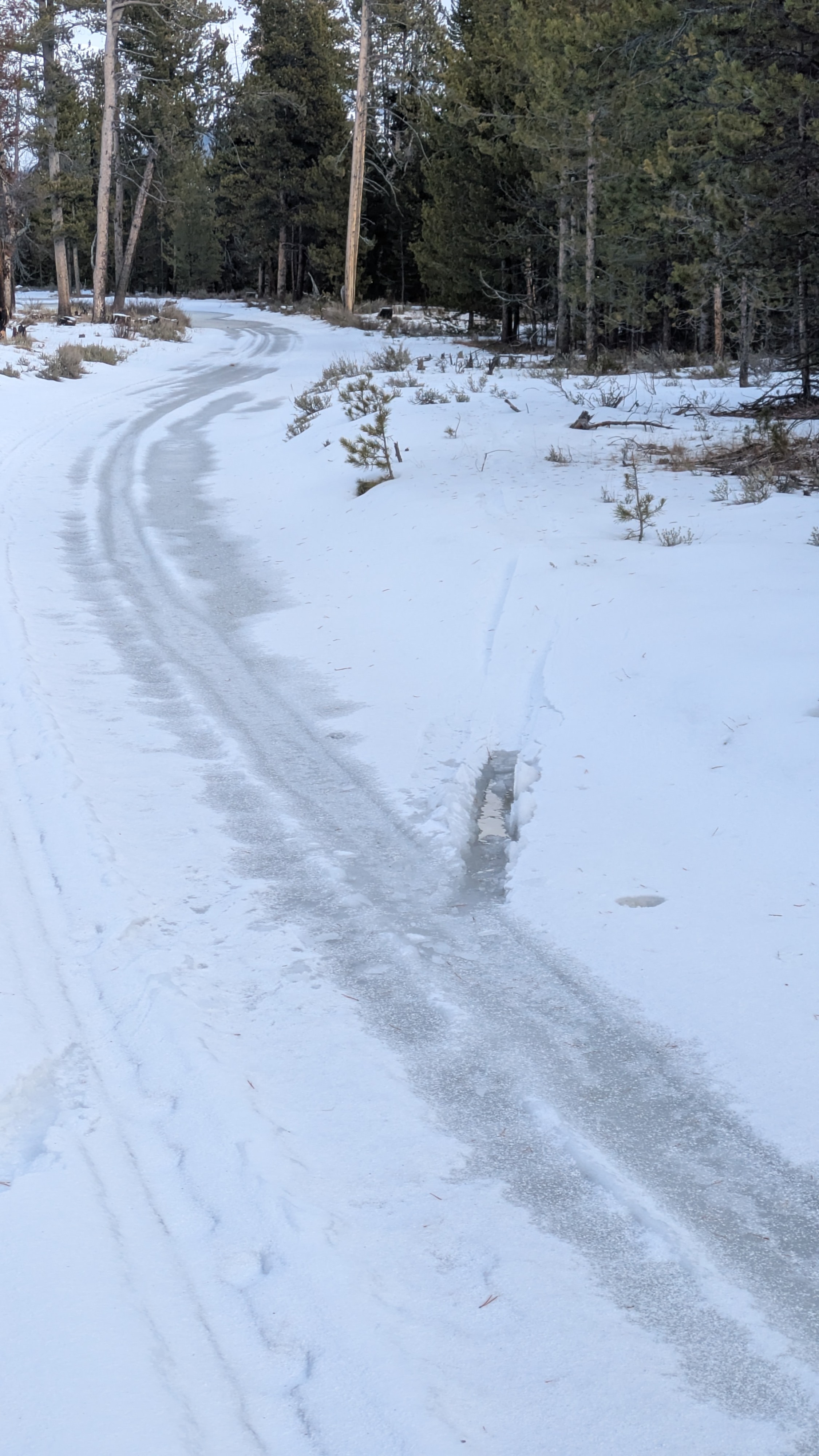
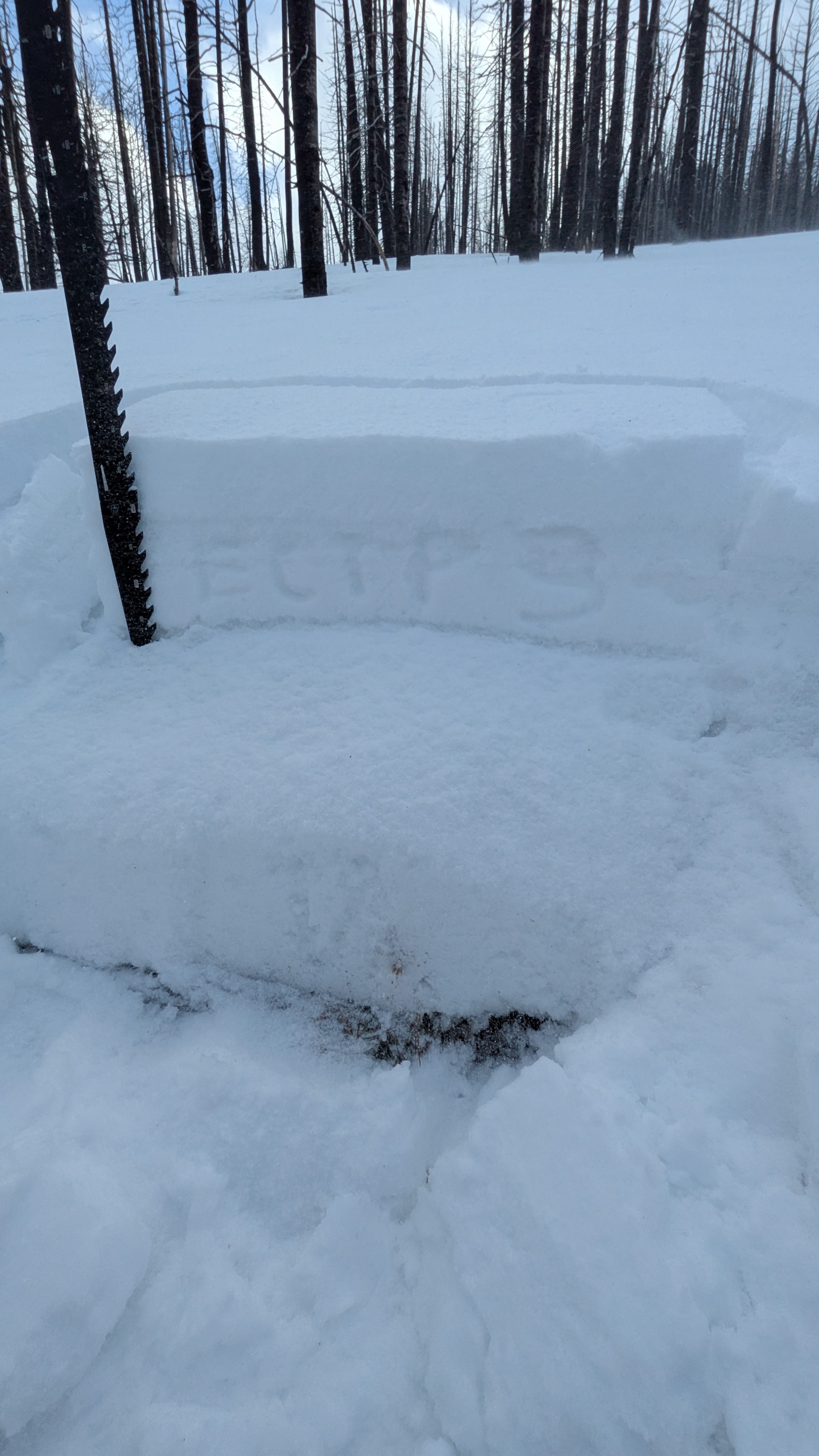
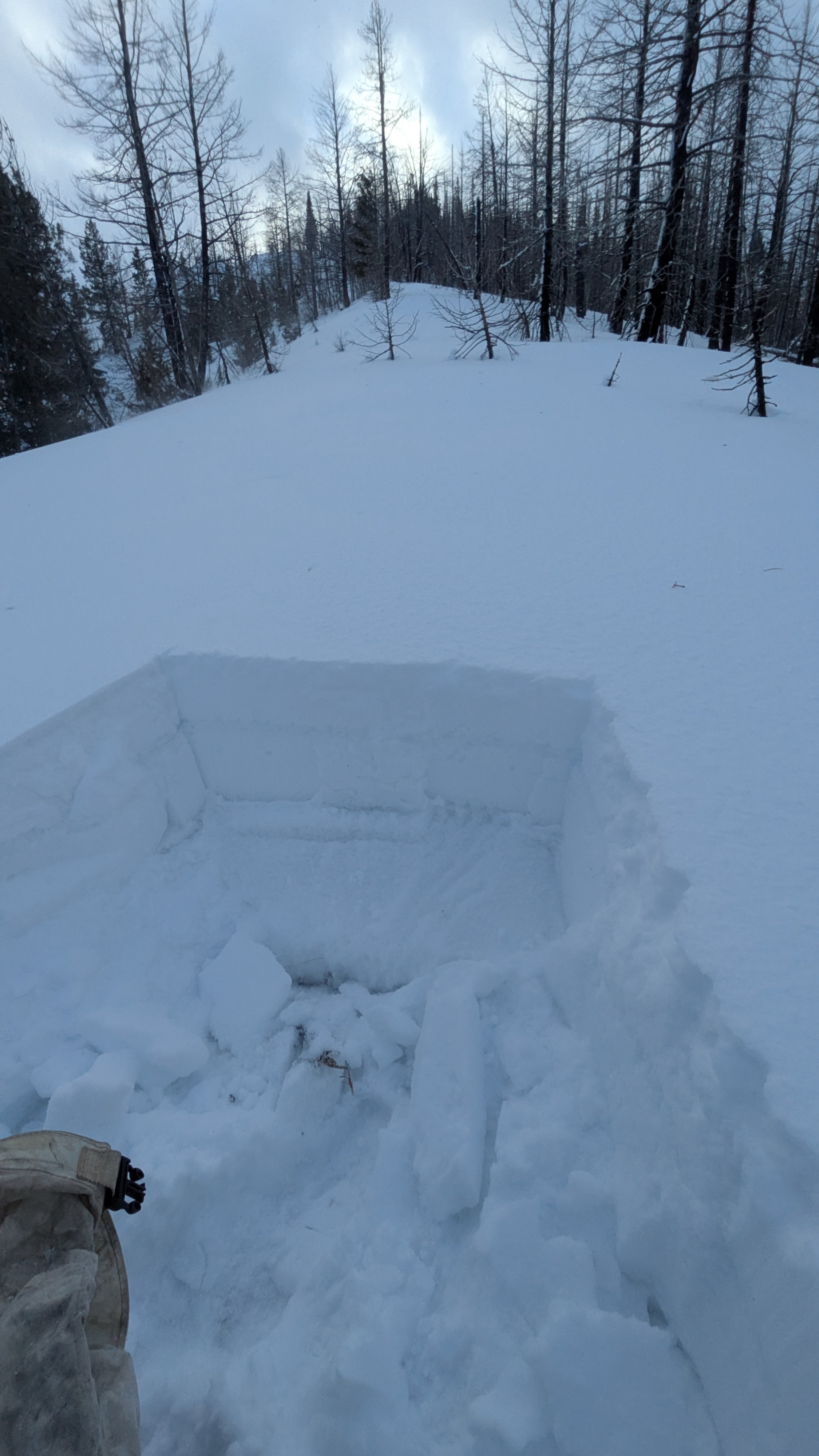
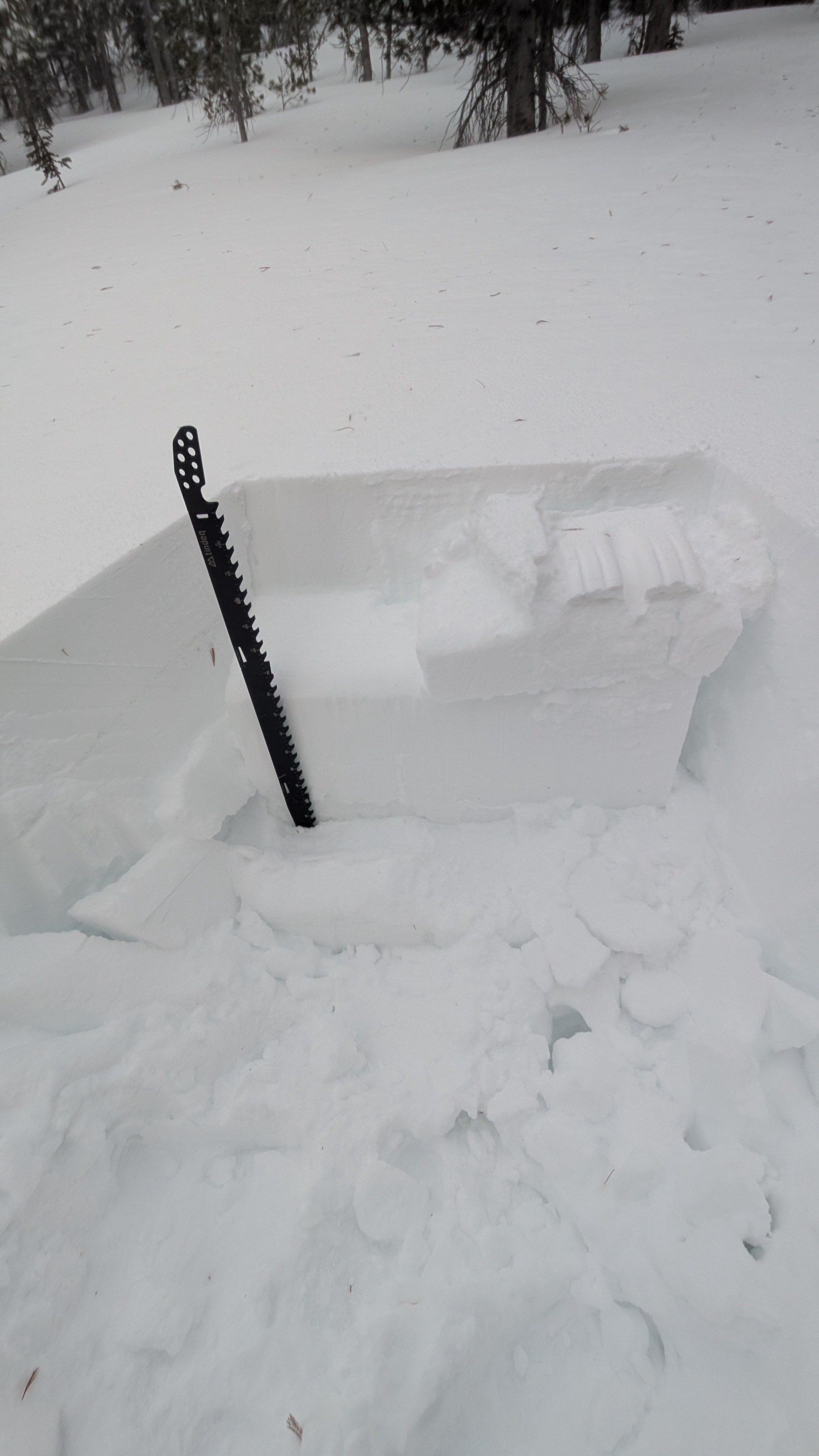
This was an afternoon trip to check out the storm in progress. It rained all night in Smiley, tried to switch over to vertical slush around sunrise, then switched back to rain. Cold front brought a dusting of graupel to valley bottom. It was a wet mess down low, with large, refreezing puddles sitting in all of the low spots (photo below). I know, you've all been crossing your fingers and wishing for it... there is a new rain crust in the snowpack! :( The 12/17 storm brought a healthy dose of rain up to 9,200', where it quickly transitioned to a moist/wet snow crust. This new rain crust (12/17) had some serious faceting underneath it from rain falling on fresh, dry snow, particularly in the 8,300-9,200' elevation band. I would expect this layer to produce avalanches with a significant slab on top. There is a lot of complexity in the upper snowpack, with a 12/9 rain crust, a 12/15 rain crust, and now a 12/17 rain crust, all sitting above facets that developed in December. Below about 8,300' these layers are all stacked together, but they separate as you gain elevation. The 12/9 and 12/15 are co-located and sit on top of well-developed facets from the early-December drought. The 12/17 is stacked in with these layers down lower, but separates as you climb. The rain came at the end of the snowfall, so it is sitting on top of the new snow at upper elevations... See pit photos below. It was darkly humorous exploring the upper bounds of the new rain crust. I had hoped that I would climb into a fresh, snowy world (and I eventually did above 9,200'), but not before traveling through a lot of fresh snow that had immediately been rained on. So it goes. I did not see or trigger any avalanches, but my visibility was limited by blowing snow, flat light, and clouds. Primary concern for me today was the late-November facet layer, now buried 1.5-2 feet down. A new persistent slab problem is developing above the December facets, which will be important to watch. The 12/17 rain crust+facet layer is distinct from the December facets+older rain crusts; this layer is currently near the surface but will be buried by ongoing storms and also warrants watching. Hmm, sounds pretty complex. As relayed with previous observations, a major theme of this winter's snowpack so far is how quickly it goes from not a ton going on down low (thanks to lack of snow and numerous rain events), to a complex, variable snowpack capable of producing large avalanches. I did not see any recent avalanches. I experienced about ten collapses that involved the late-November facets. Some of these were small, the largest were shaking small trees and extended about 40-50 feet from triggering location. Collapses were mostly occurring in the upper end of the middle elevation band. A few collapses had visible cracking associated with them, most did not.
Weather
- Rain Elevation
- 9,200
A new rain crust, the 12/17! Oof. This one extends to 9,200'. 8-10 inches of new snow above this.