
Quick report
Over a foot of dense, new snow in the mountains did help with coverage higher in elevation, but also brought in a new round of avalanche problems. Winds have built slabs 2 to 3 feet deep on leeward-facing sides of ridgelines, and fluctuating temperatures during the storm created weaker interfaces in these slabs. Now that the recent snow is seeing warmer temperatures, wet loose hazards will develop as the snow continues to moisten. While snow continues to melt at lower elevations, expect to enter a different season as you gain elevation.
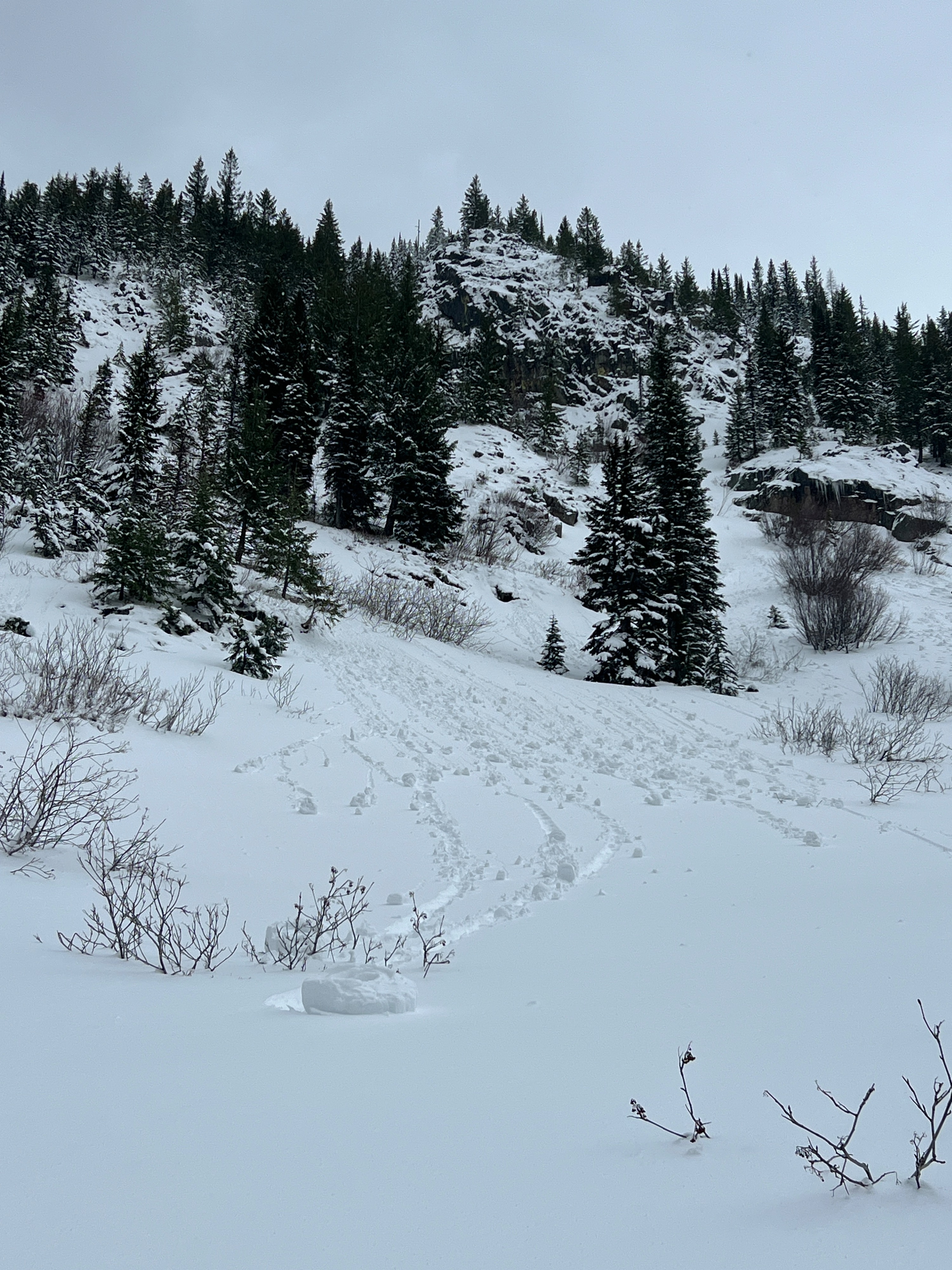
By 1300, snow below 6000 feet that had seen some sun started to warm up, and rollerballs were increasing in size.Weather
- Air Temp
- 24
- Cloud Cover
- broken
- Wind Loading
- previous
- Rain Elevation
- Not observed
- Recent Snowfall
- 30-50
- Snow Avail For Transport
- small smounts
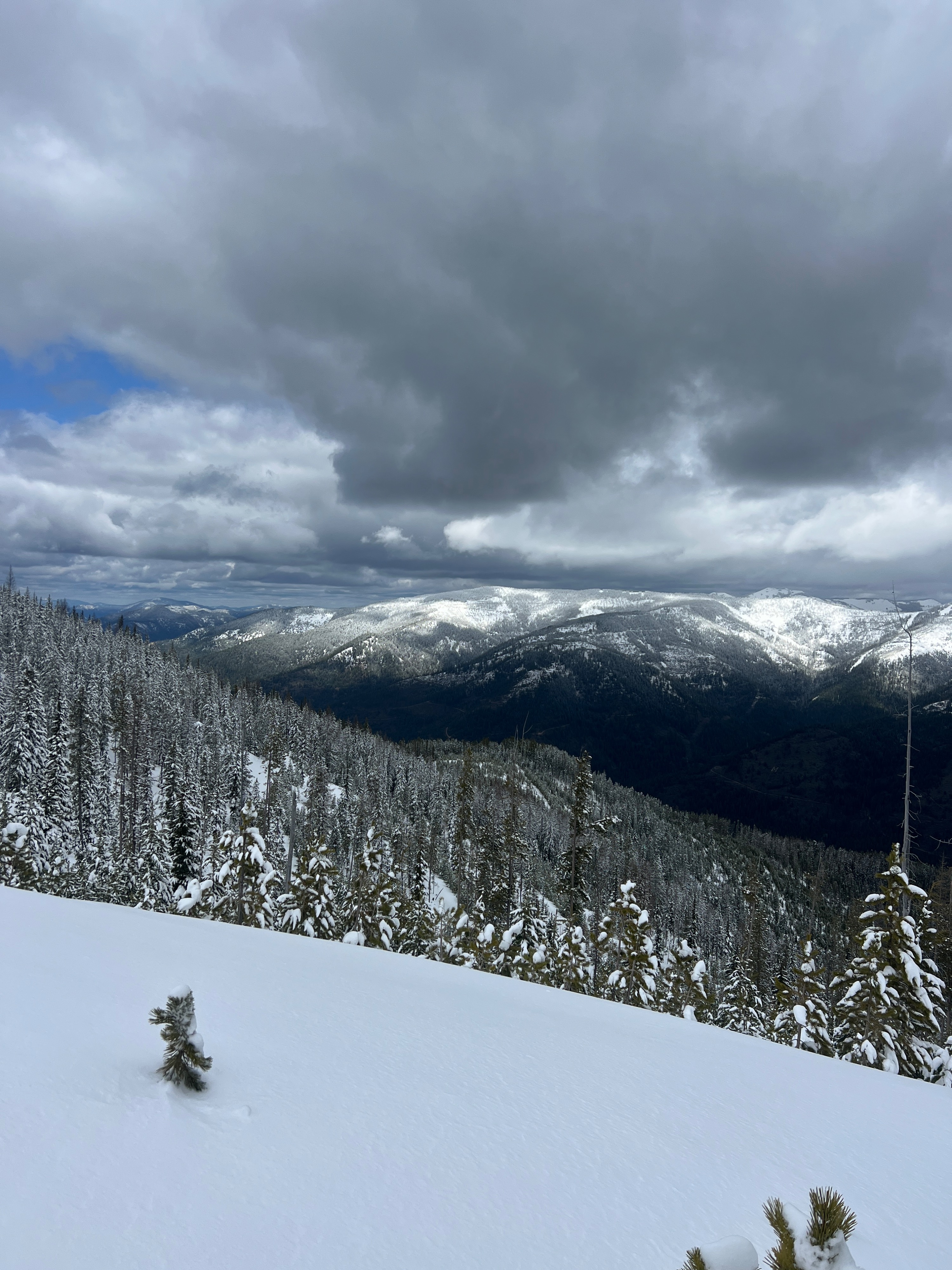
In the morning, the air felt cool and crisp, and patches of blue sky poked through scattered clouds. Pretty quickly, the cloud cover built, and by 1100, grey clouds had moved in. Sporadic snowflakes fell from the sky during the afternoon, but it wasn't enough for any measurable amount. Mostly light wind blew from the northwest.
Snowpack
The quick-hitting system that moved through earlier in the week delivered 1 to 2 feet of snow across the mountains in the Silver Valley. A lowering snow line allowed several inches to stack up below the tree line, laying down a thin covering over what was previously bare ground. By the end of our tour, this snow down low would be melted out.
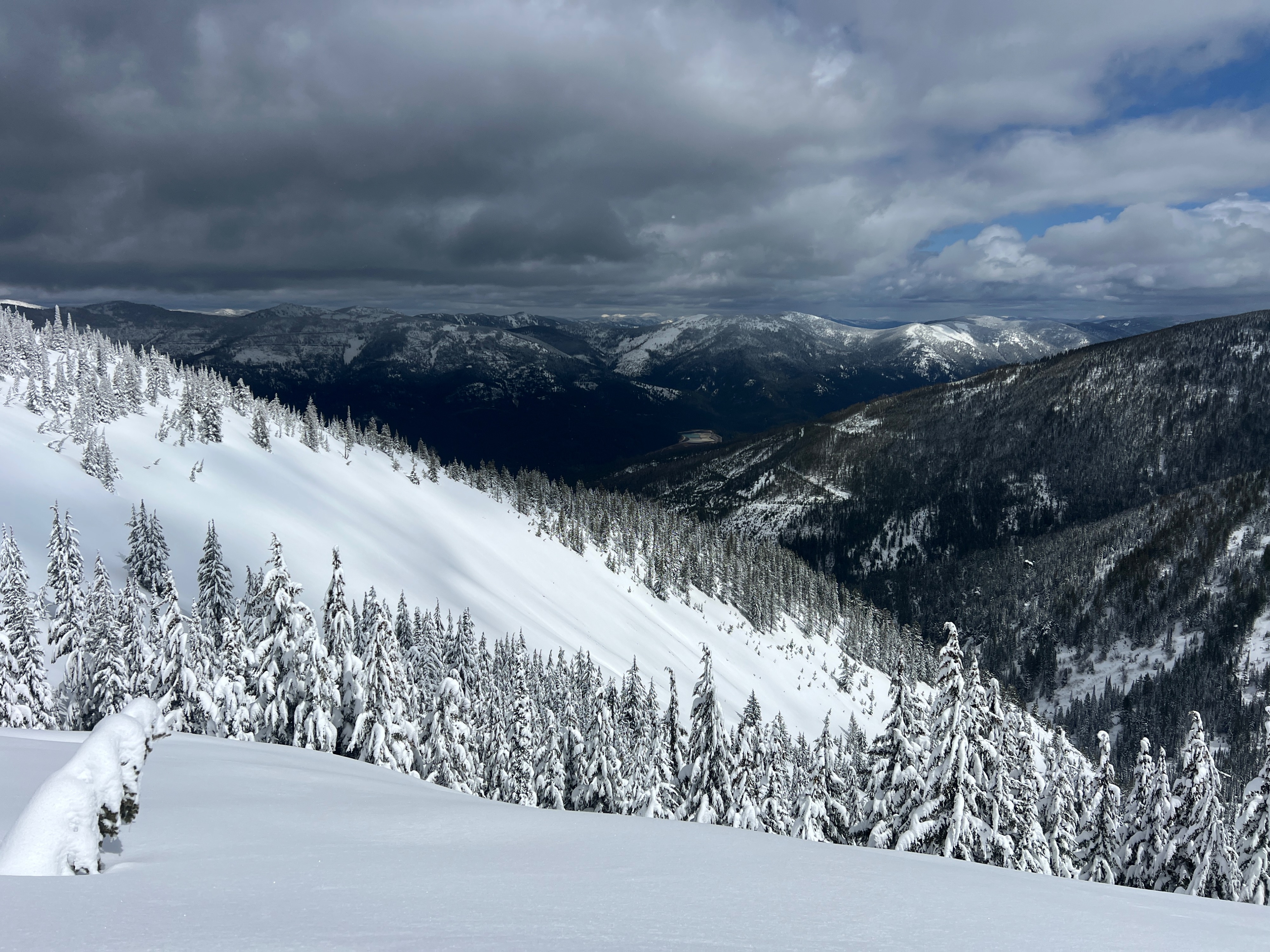
The new snow was on the denser side at all elevations, but there was a noticeable density change around 6,000 feet. Although cloud cover was building during the day, aspects that had seen pockets of sun started to moisten, and new rollerballs were releasing around cliffs and gaining in size. Shaded pieces of terrain continued to hang on to colder snow. Ridgelines had evidence of new drifts, and open slopes were etched with wind effect on the surface. Drifts above 6,300 feet were around 2 to 3 feet deep.
Throughout several hand pits, the most concerning interface was about 4 inches above the old snow surface, where there was a slight density change. Blocks consistently wanted to shear at this location. While we did not observe propagation in our snowpack tests, we did observe an ECTN at this mid-storm interface.
Avalanche
- Size
- D1
- Type
- SS
- Aspect
- E
- Trigger
- N
- Elevation
- 6400 ft
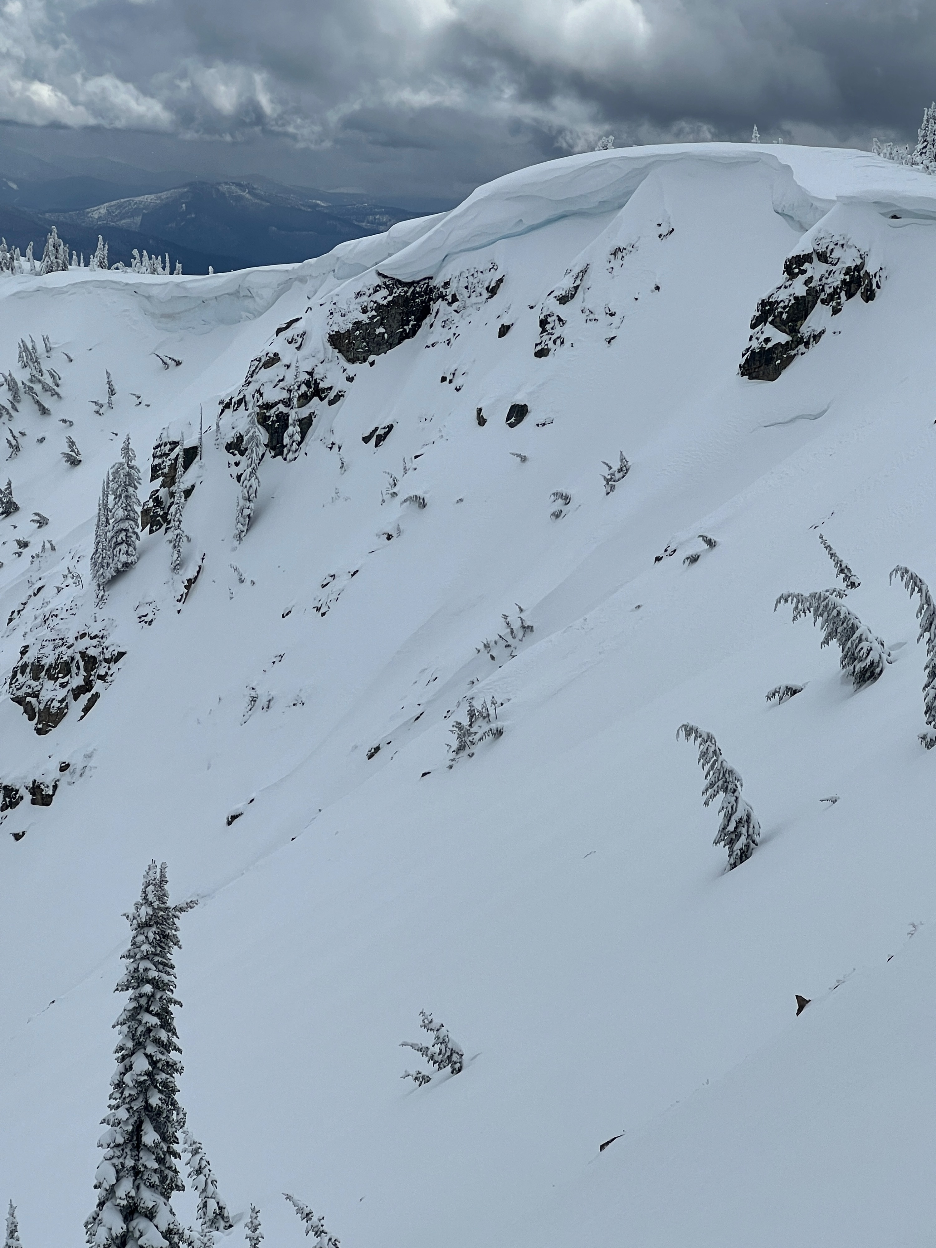
All observed avalanches were old. Some wet loose debris was spotted around cliff bands and steep rocky features. A small slab avalanche had released below a large cornice, possibly sometime during the April 14-15 storm, but without seeing the debris pile and partially filled-in crown, putting an exact date to it is difficult.