
Quick report
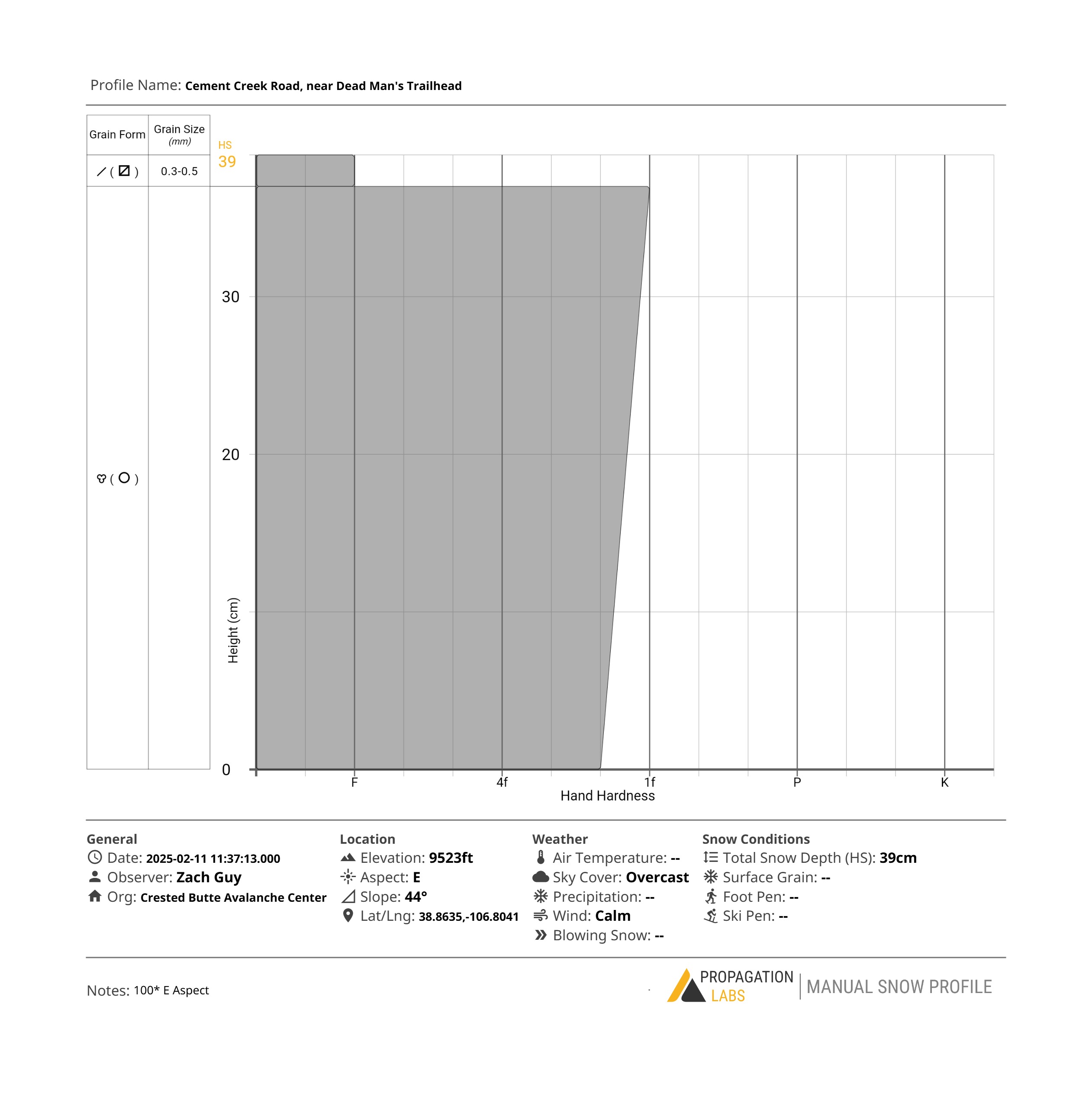
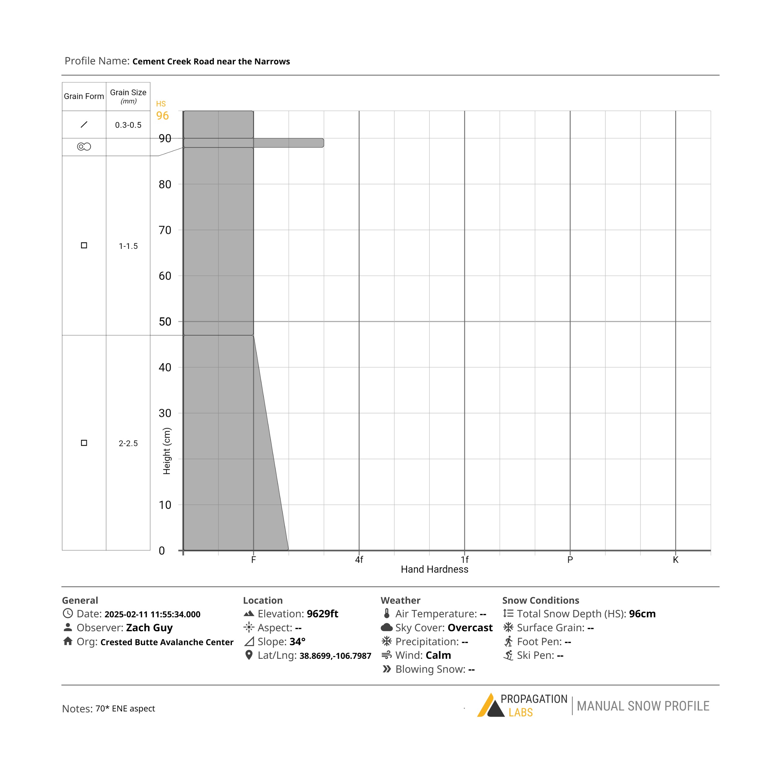
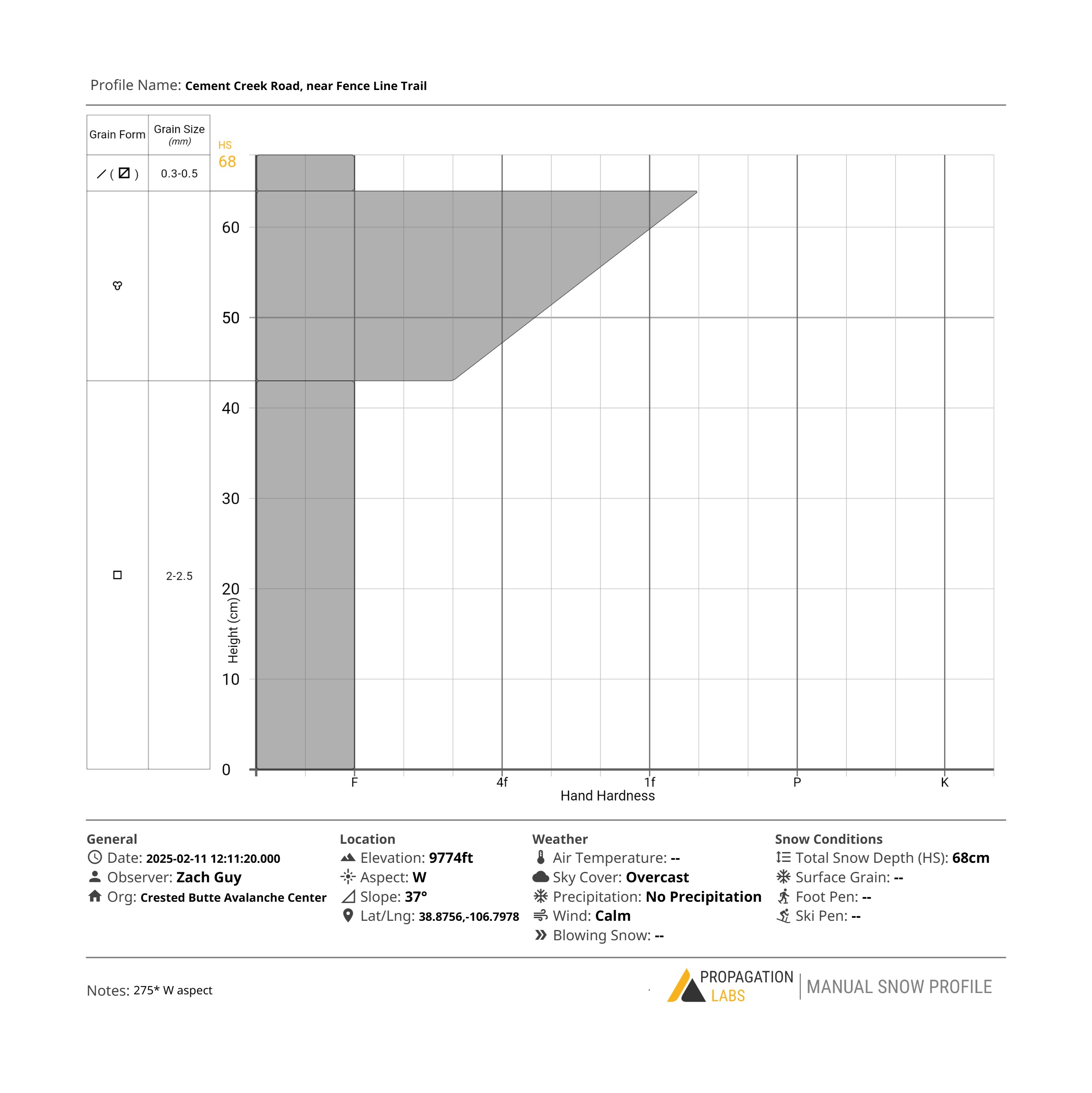
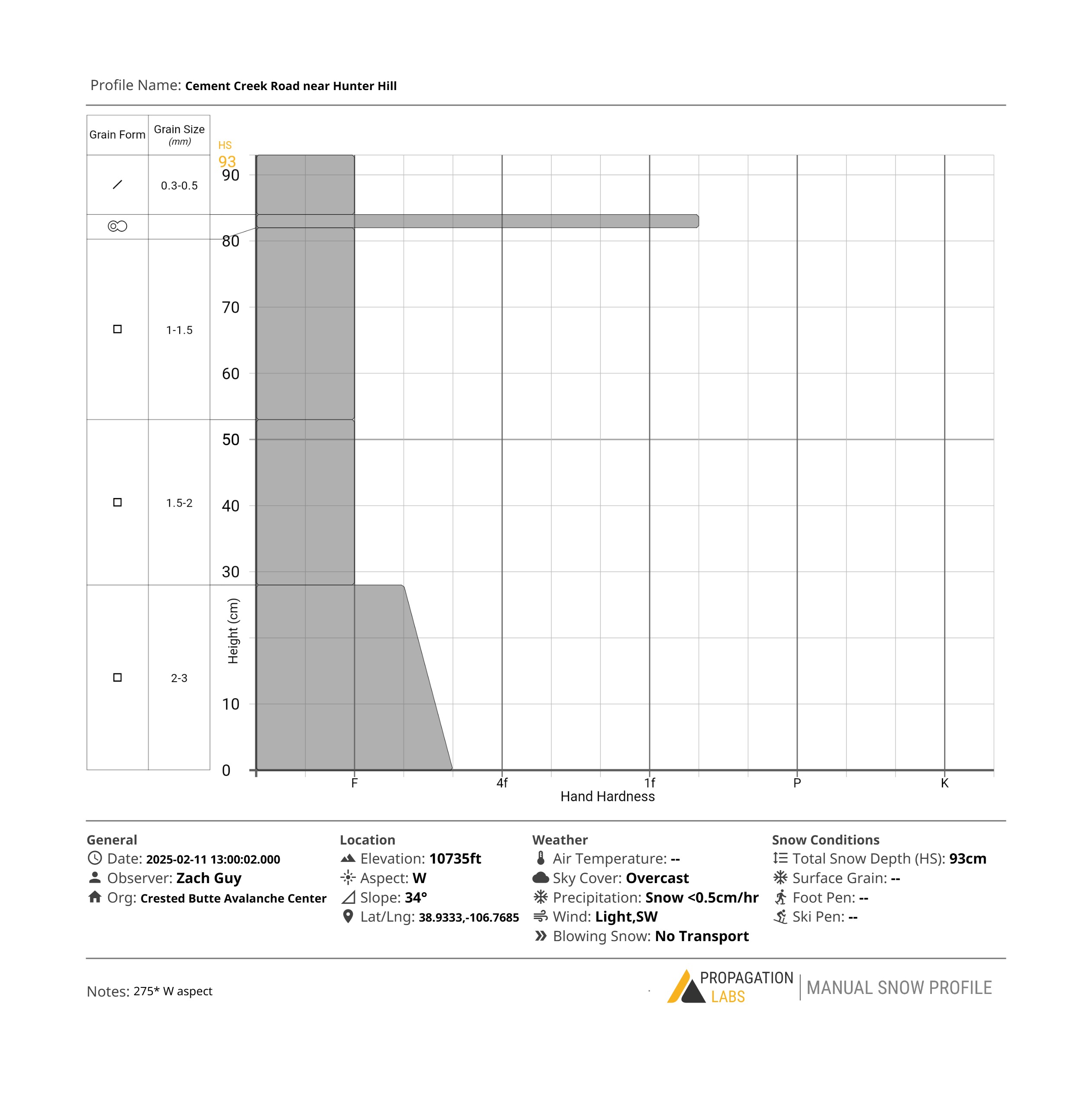
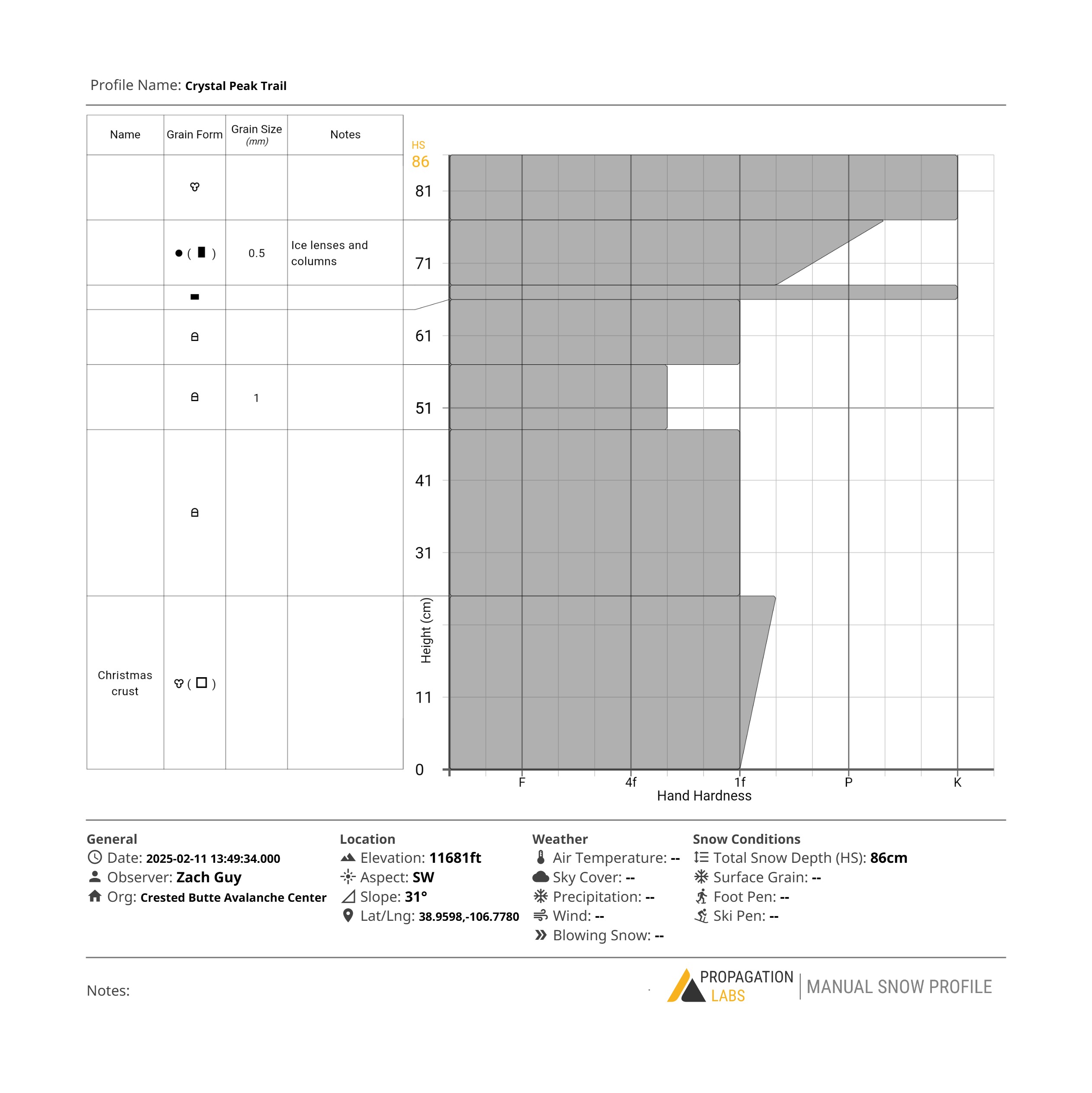
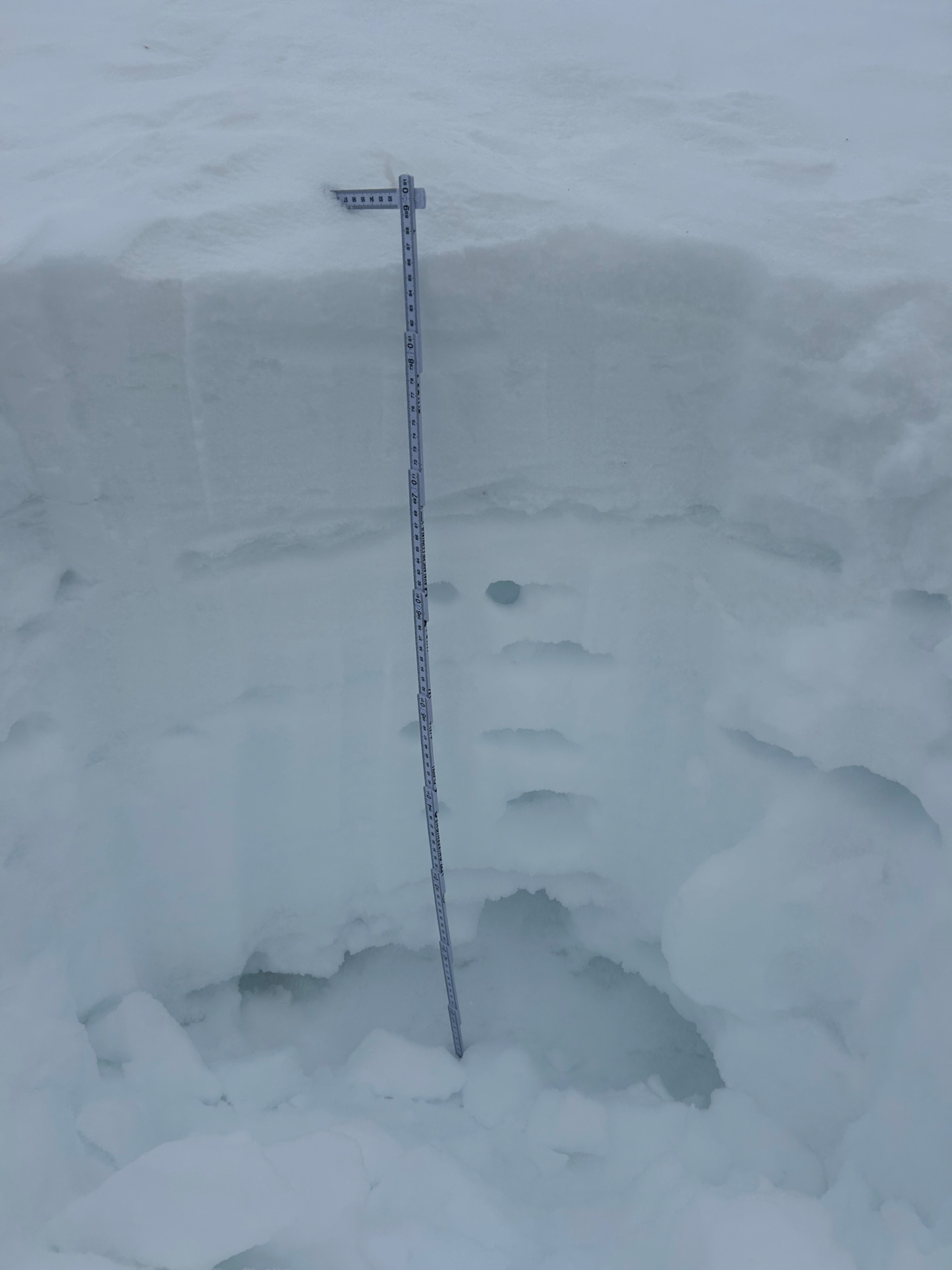
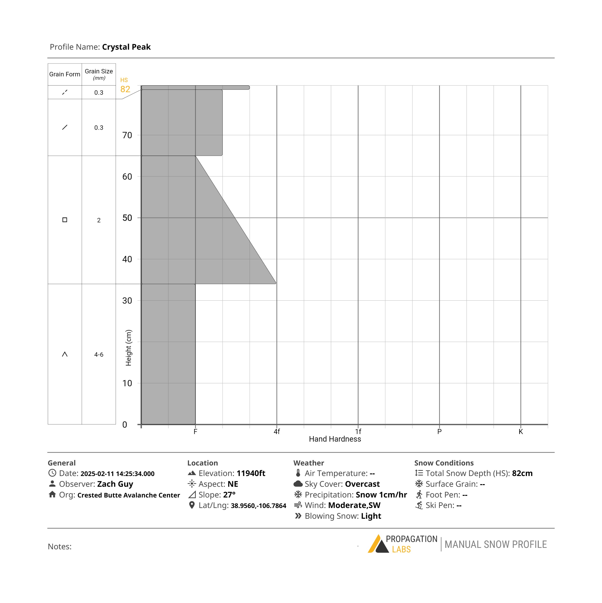
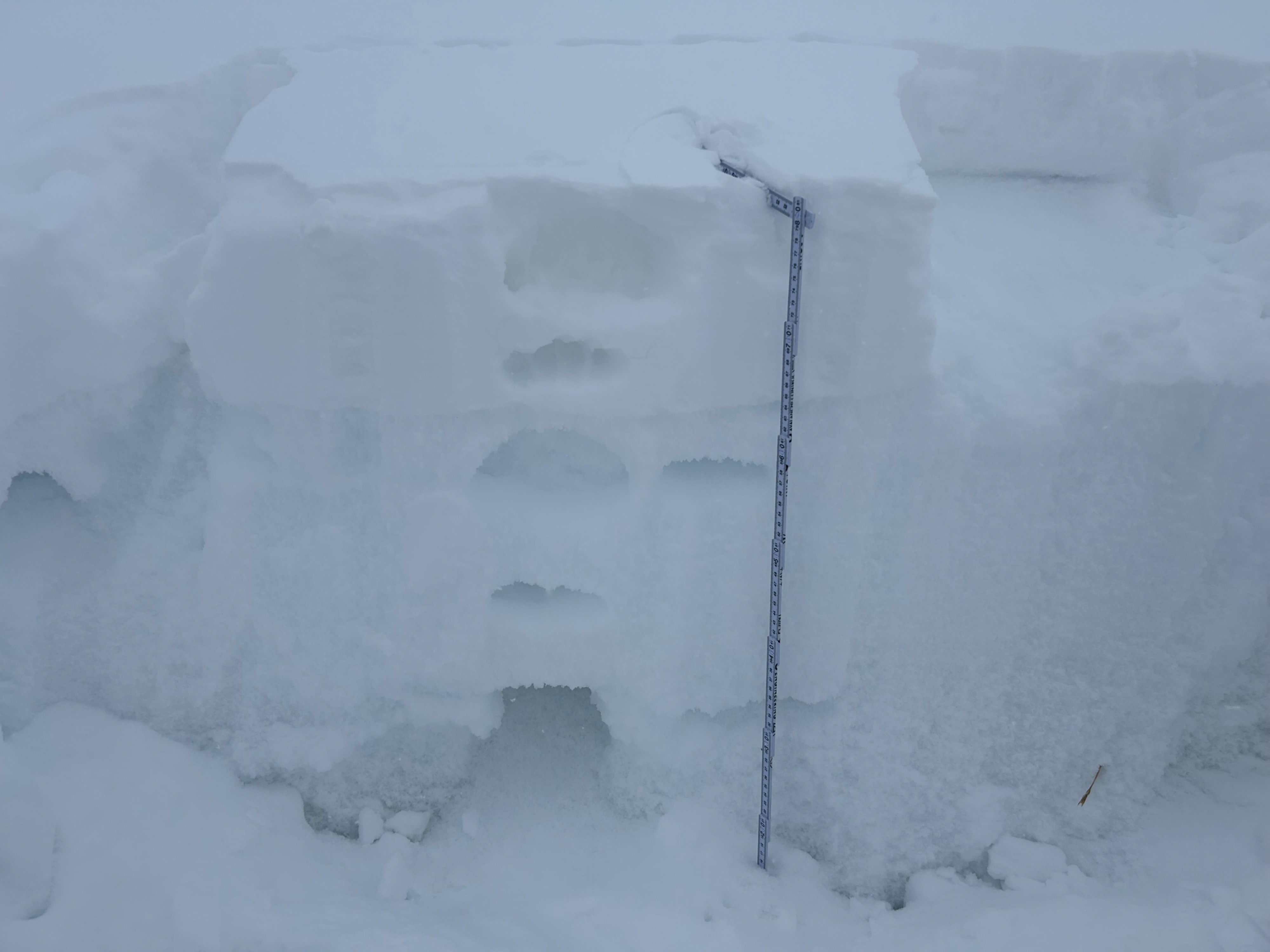
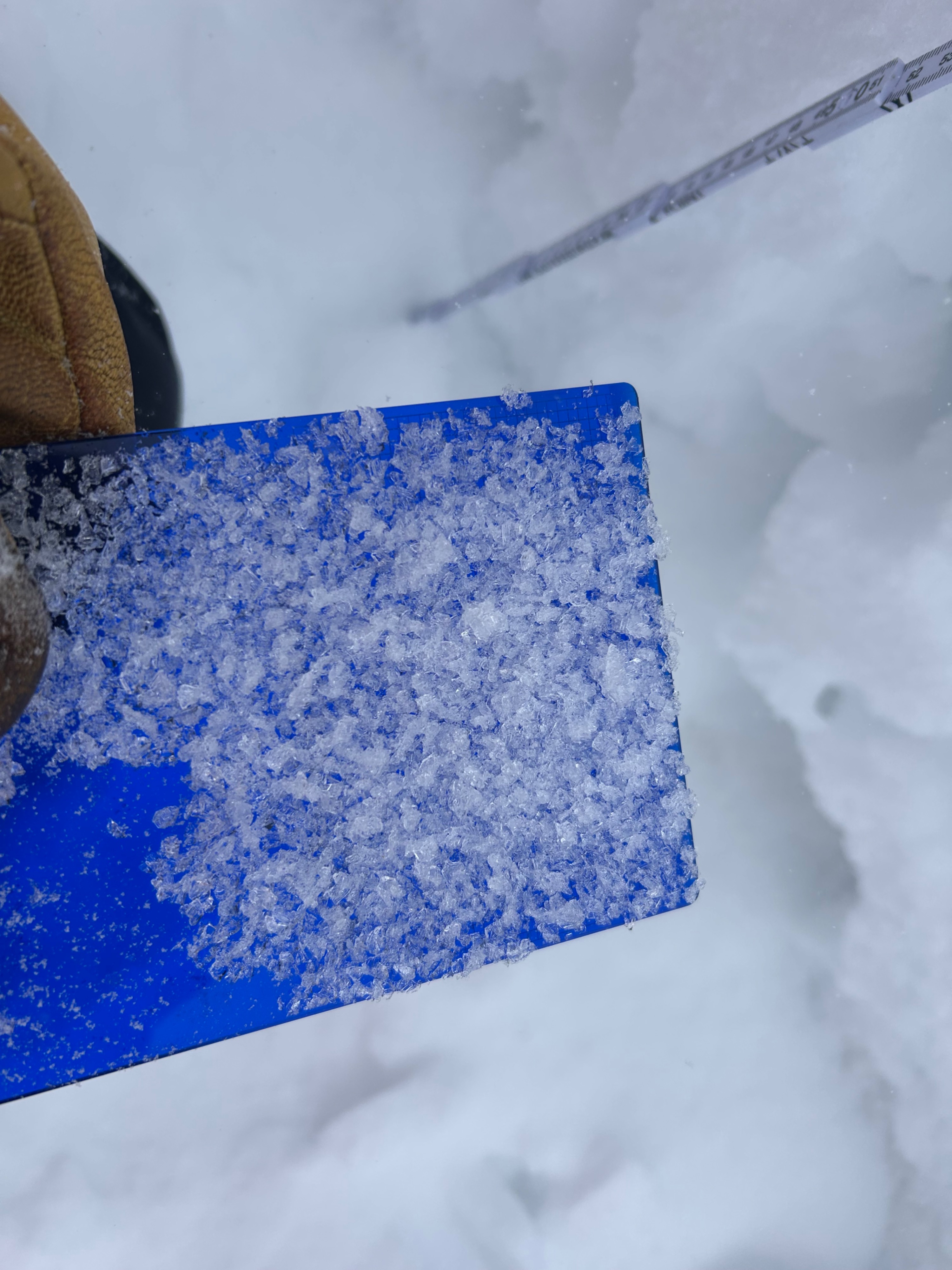
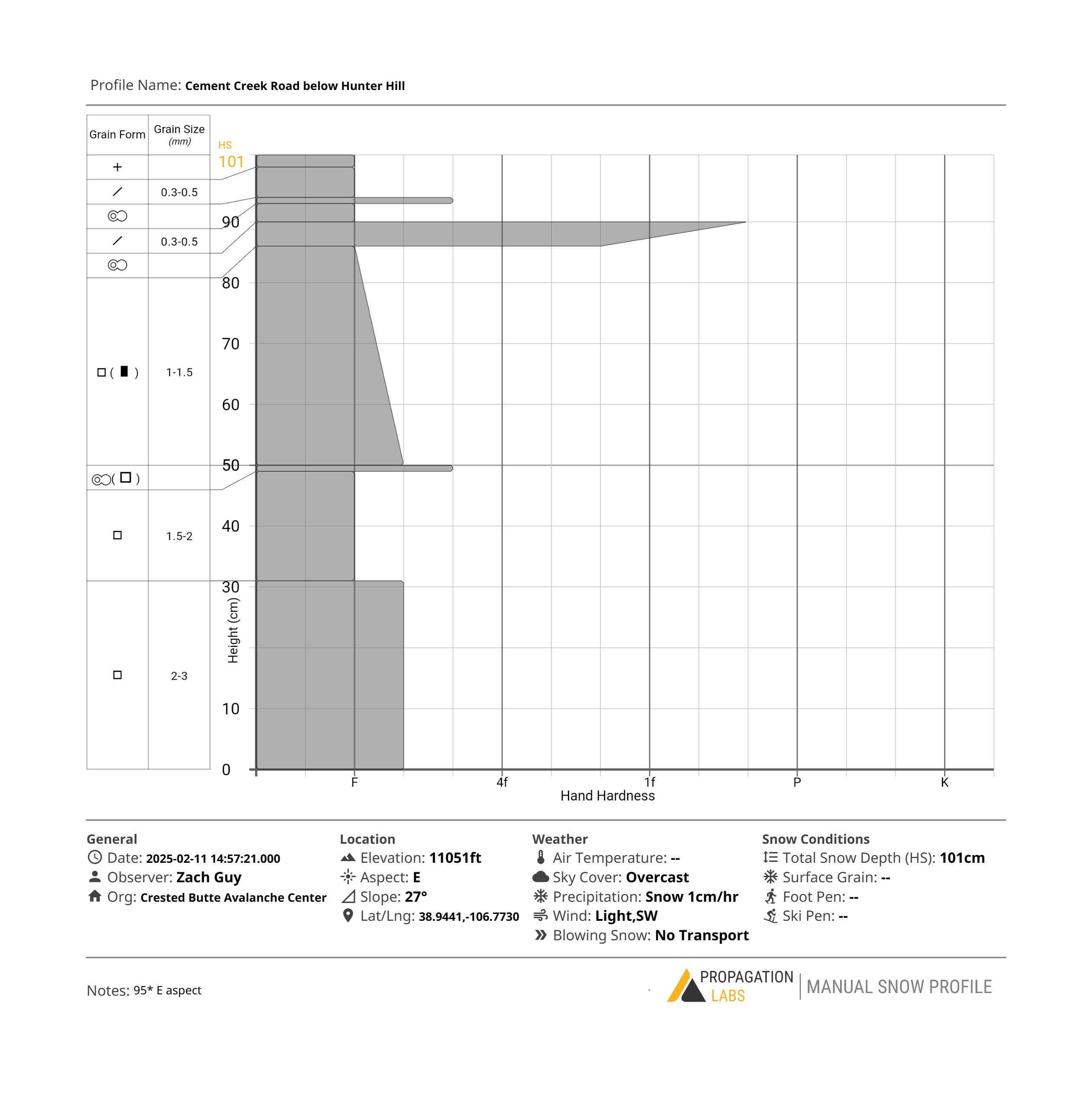
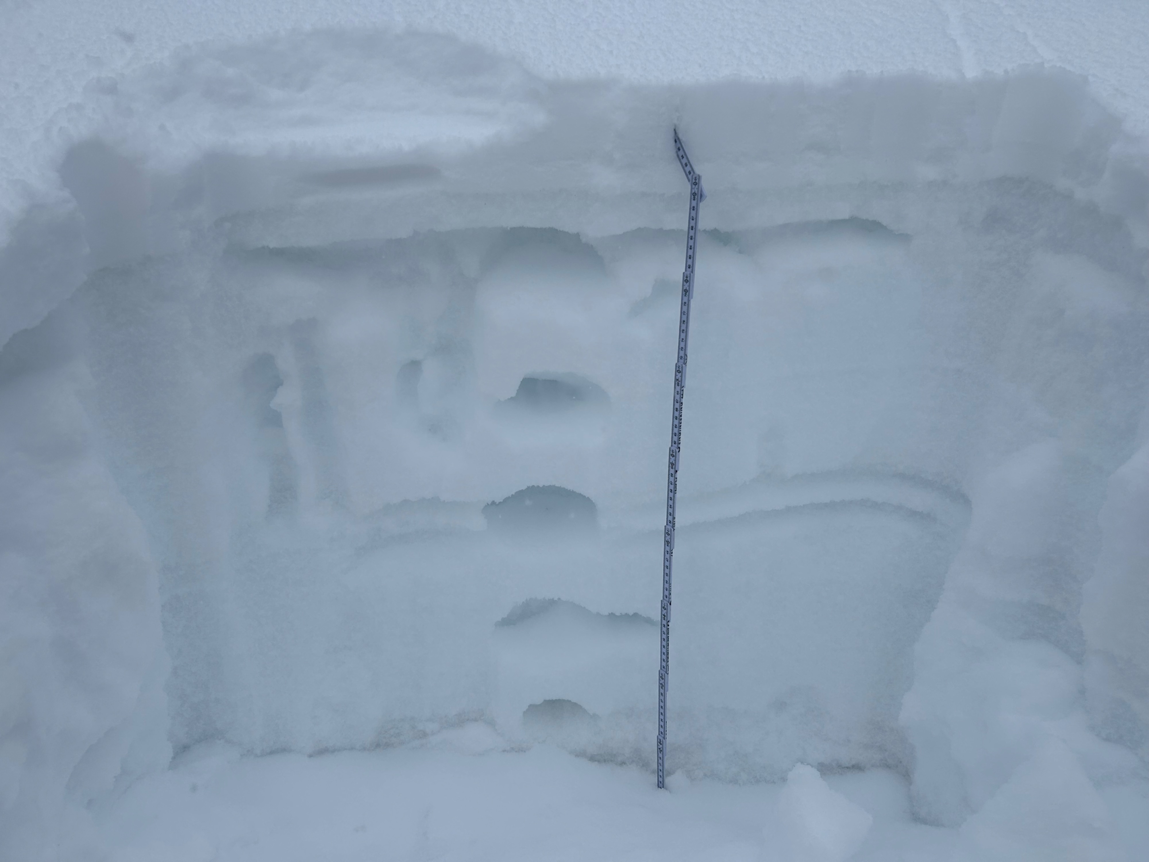
The north half of the compass looks like it will be most problematic for future persistent slab issues if we get a good slab-forming event this week. Snowpack structures are consistently faceted throughout on the colder aspects, capped by collapsible crusts below treeline on northerlies or on shoulder aspects above 11,000' (E or W aspects). On the sunny side of the compass, melt-freeze crusts are thick and strong, with ice columns, ice lenses, or crust masses extending deep enough into the snowpack that I wouldn't expect avalanches to break below the recent warmup interface. East and west aspects vary significantly from thick, strong crusts to thin, collapsible crusts, depending on southerly or northerly tilt within that aspect, slope angle, or elevation. There is some low-density recent snow above the crusts, which could be a failure layer for storm instabilities; I noticed some small near-surface facets (<.5mm) forming in the recent snow above the crust at low elevations (on ESE and W aspects). Where we targeted and dug pits, I did not find anywhere with step-down potential involving old slabs; however, there is potential for entrainment of weak loose snow once crusts collapse.
No signs of instability, and we found no old or new slabs where we traveled. There was enough drifting up high to form fresh wind slabs in a few terrain features, but we didn't target those today.Weather
- Cloud Cover
- overcast
- Wind Loading
- light
- Recent Snowfall
- 2
- Snow Avail For Transport
- small smounts
Light snowfall began this afternoon, adding about an inch to the few inches that fell over the weekend. We observed some blowing snow above treeline.
Snowpack
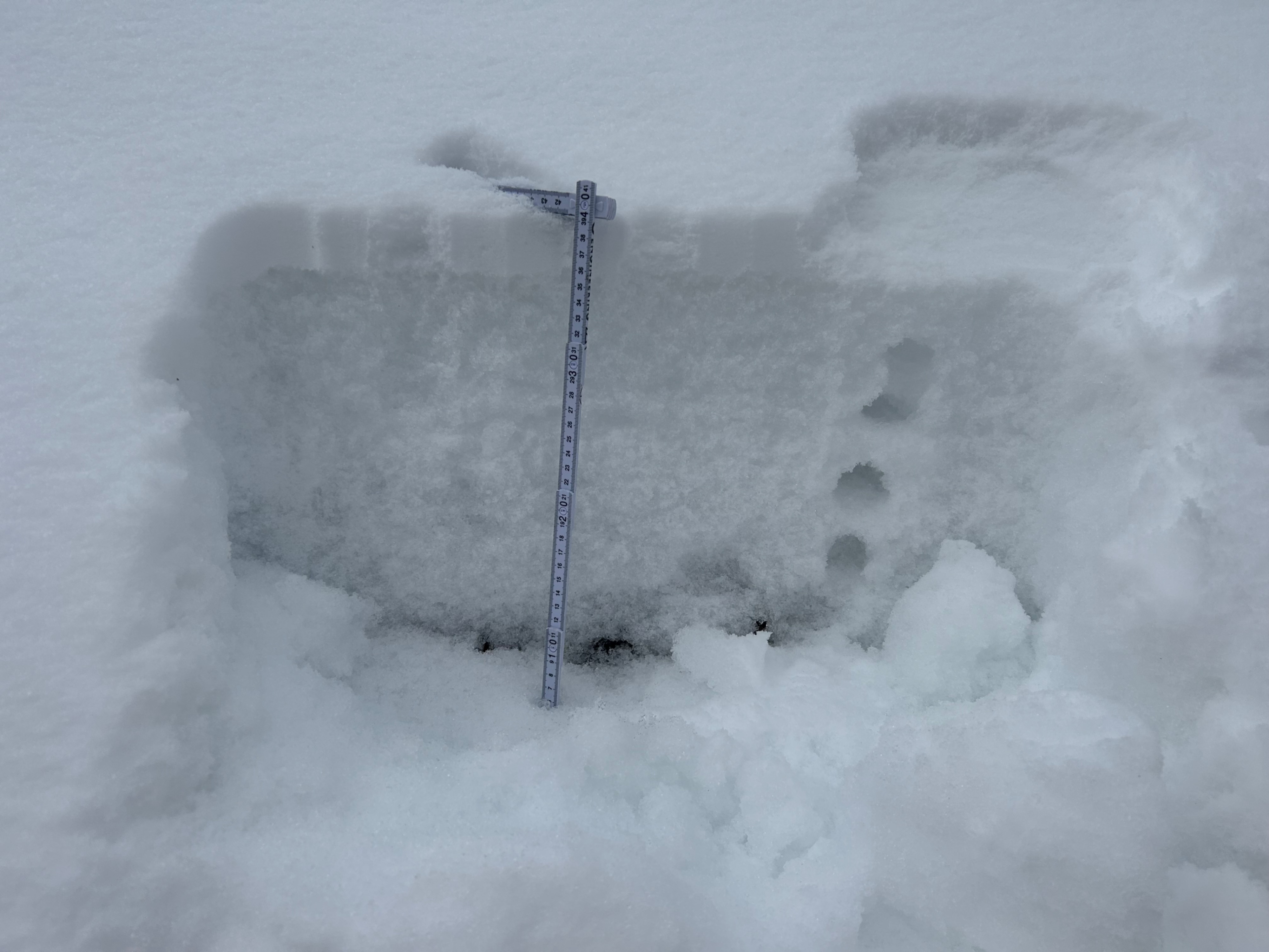
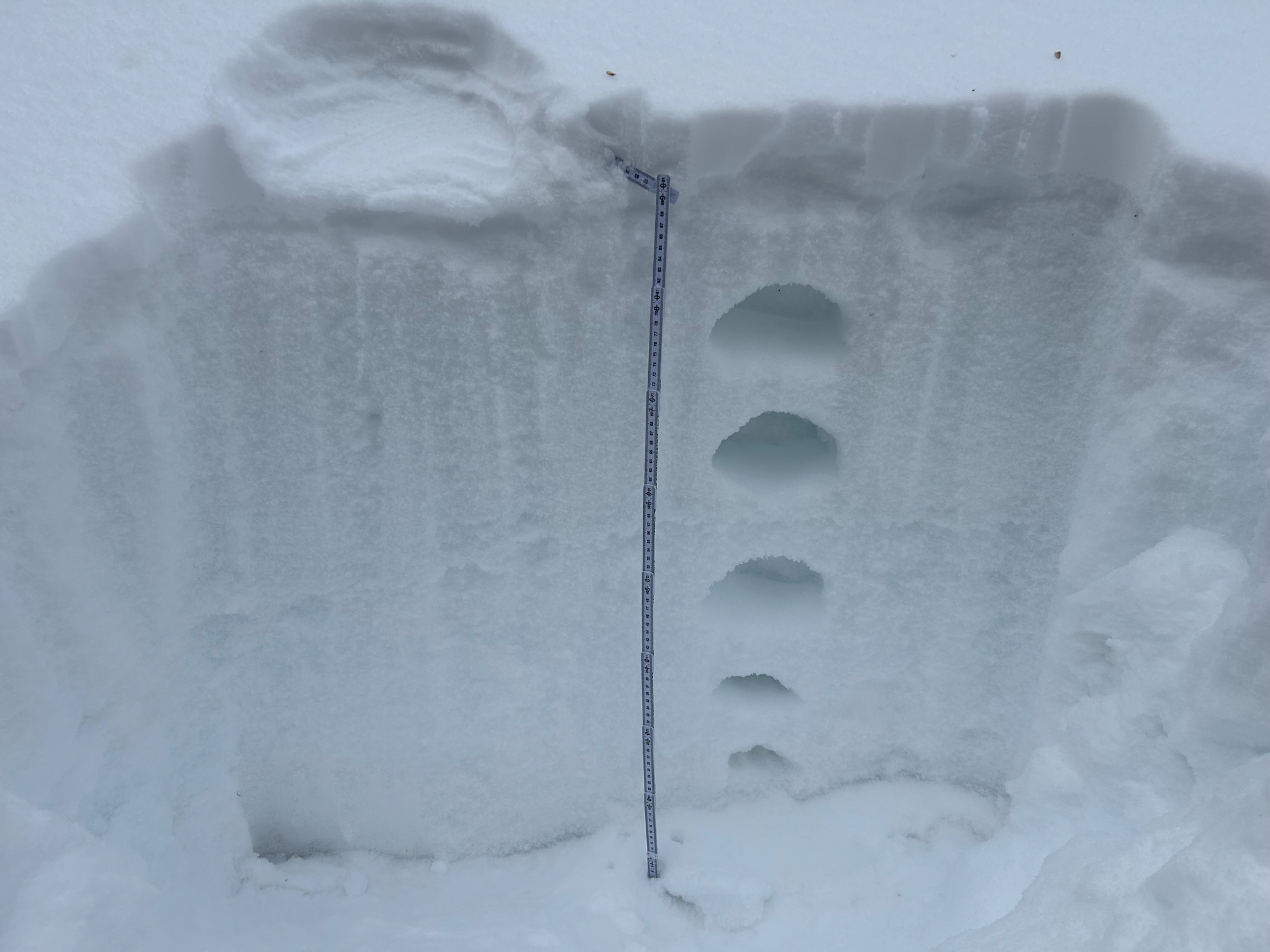
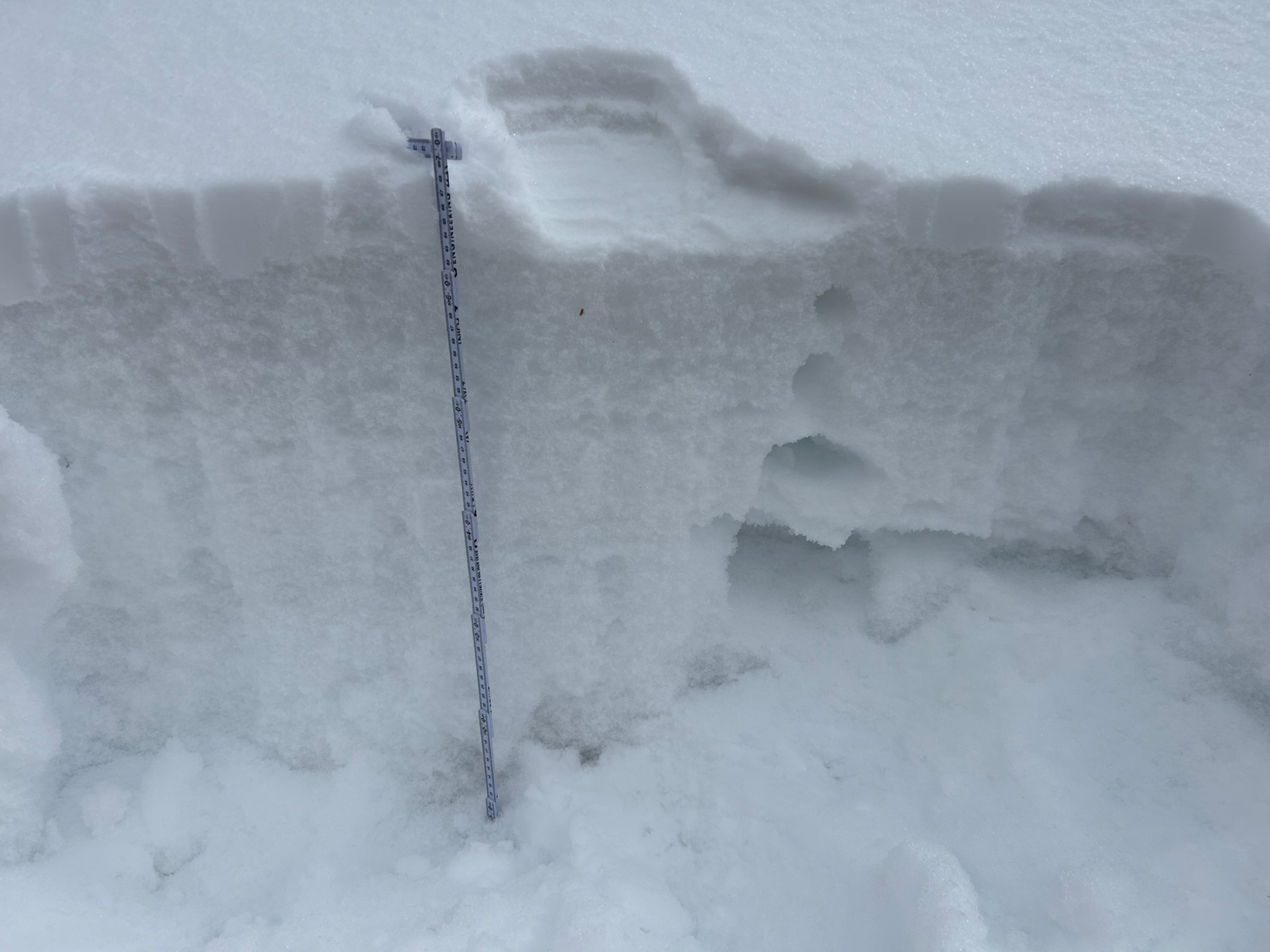
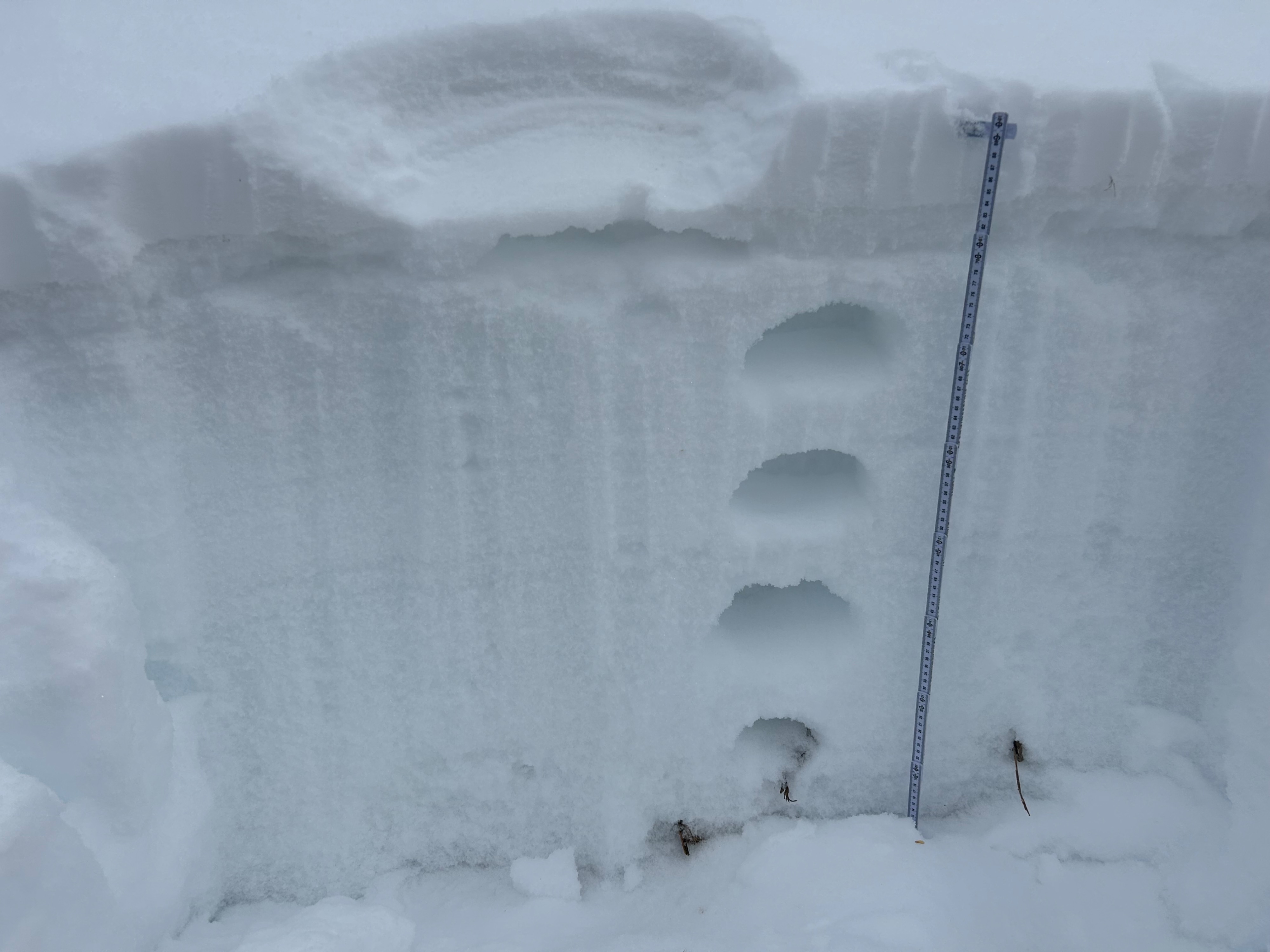
See profiles for details.